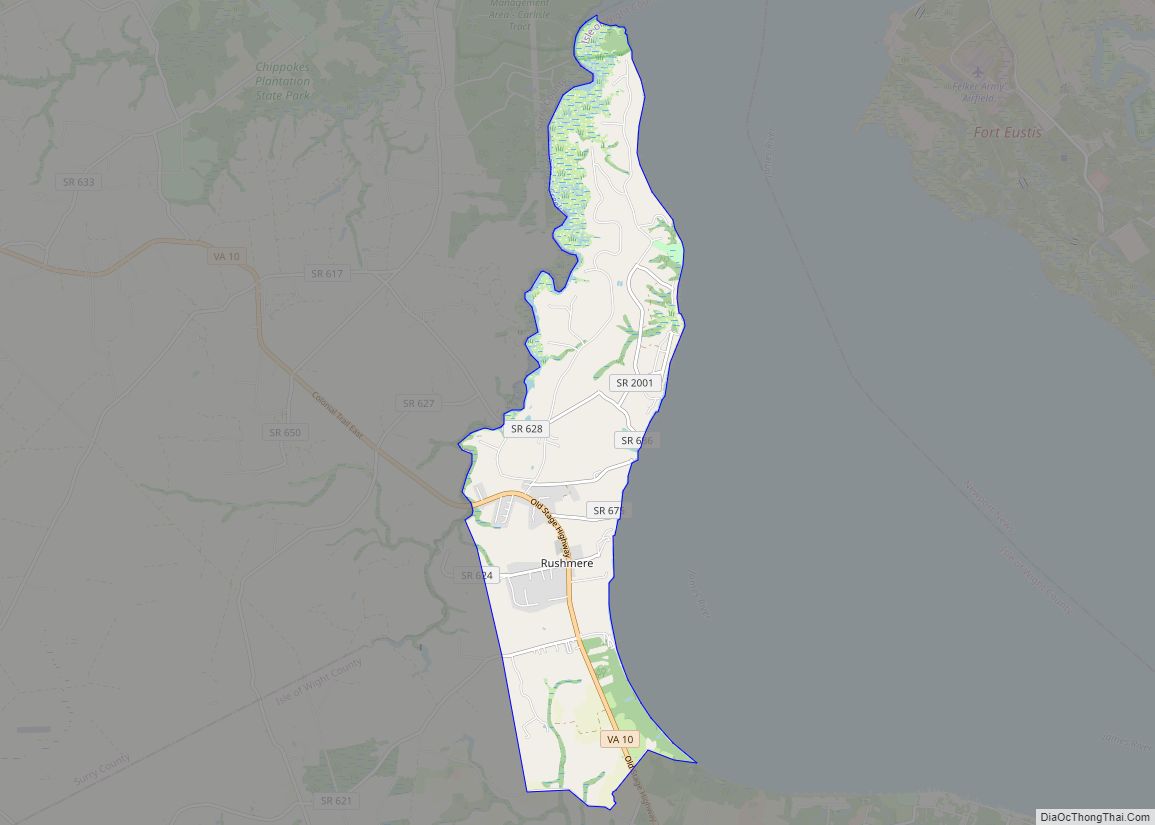
Map of Rushmere CDP
Rushmere is a census-designated place (CDP) in Isle of Wight County, Virginia, United States. The population was 1,018 at the 2010 census. Rushmere CDP overview: Name: Rushmere CDP LSAD Code: 57 LSAD Description: CDP (suffix) State: Virginia County: Isle of Wight County Elevation: 72 ft (22 m) Total Area: 8.4 sq mi (21.8 km²) Land Area: 8.3 sq mi (21.4 km²) Water Area: ... Read more
Map of Rushmere CDP
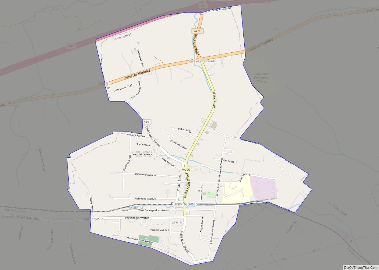
Map of Rural Retreat town
Rural Retreat is a town in Wythe County, Virginia, United States. The population was 1,483 at the 2010 census. Rural Retreat town overview: Name: Rural Retreat town LSAD Code: 43 LSAD Description: town (suffix) State: Virginia County: Wythe County Elevation: 2,513 ft (766 m) Total Area: 2.28 sq mi (5.90 km²) Land Area: 2.28 sq mi (5.89 km²) Water Area: 0.00 sq mi (0.00 km²) Total ... Read more
Map of Rural Retreat town
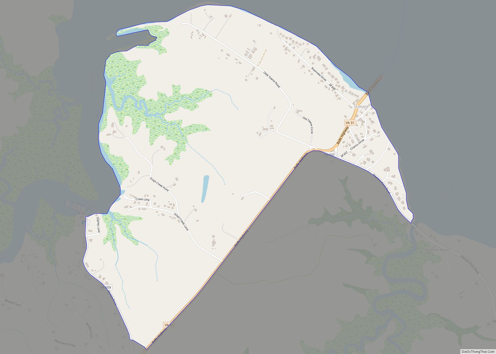
Map of Scotland CDP, Virginia
Scotland also known as Scotland Wharf is a census-designated place (CDP) in Surry County, Virginia, United States. The population as of the 2010 Census was 203. Located on State Route 31 (the John Rolfe Highway), Scotland is the southern terminus and headquarters of the Jamestown Scotland Ferry, a crossing service of the James River operated ... Read more
Map of Scotland CDP, Virginia
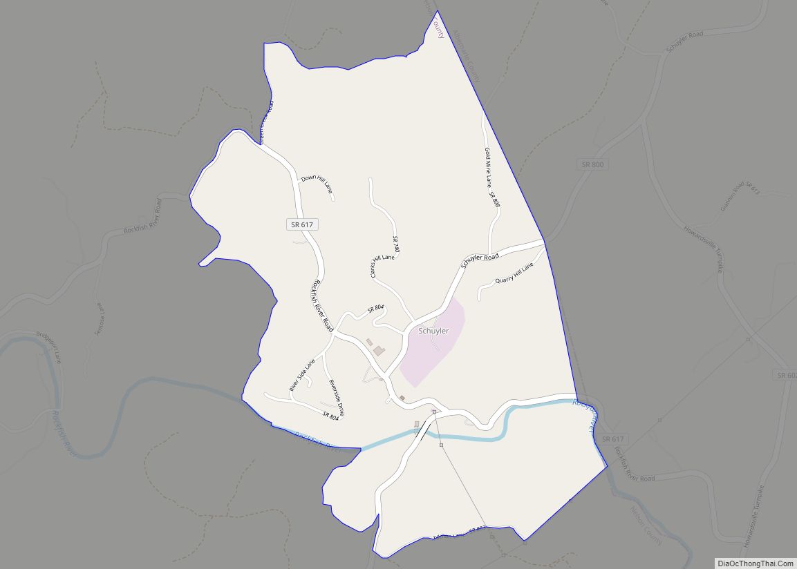
Map of Schuyler CDP, Virginia
Schuyler CDP overview: Name: Schuyler CDP LSAD Code: 57 LSAD Description: CDP (suffix) State: Virginia County: Nelson County FIPS code: 5170704 Online Interactive Map Schuyler online map. Source: Basemap layers from Google Map, Open Street Map (OSM), Arcgisonline, Wmflabs. Boundary Data from Database of Global Administrative Areas. Schuyler location map. Where is Schuyler CDP? Schuyler ... Read more
Map of Schuyler CDP, Virginia
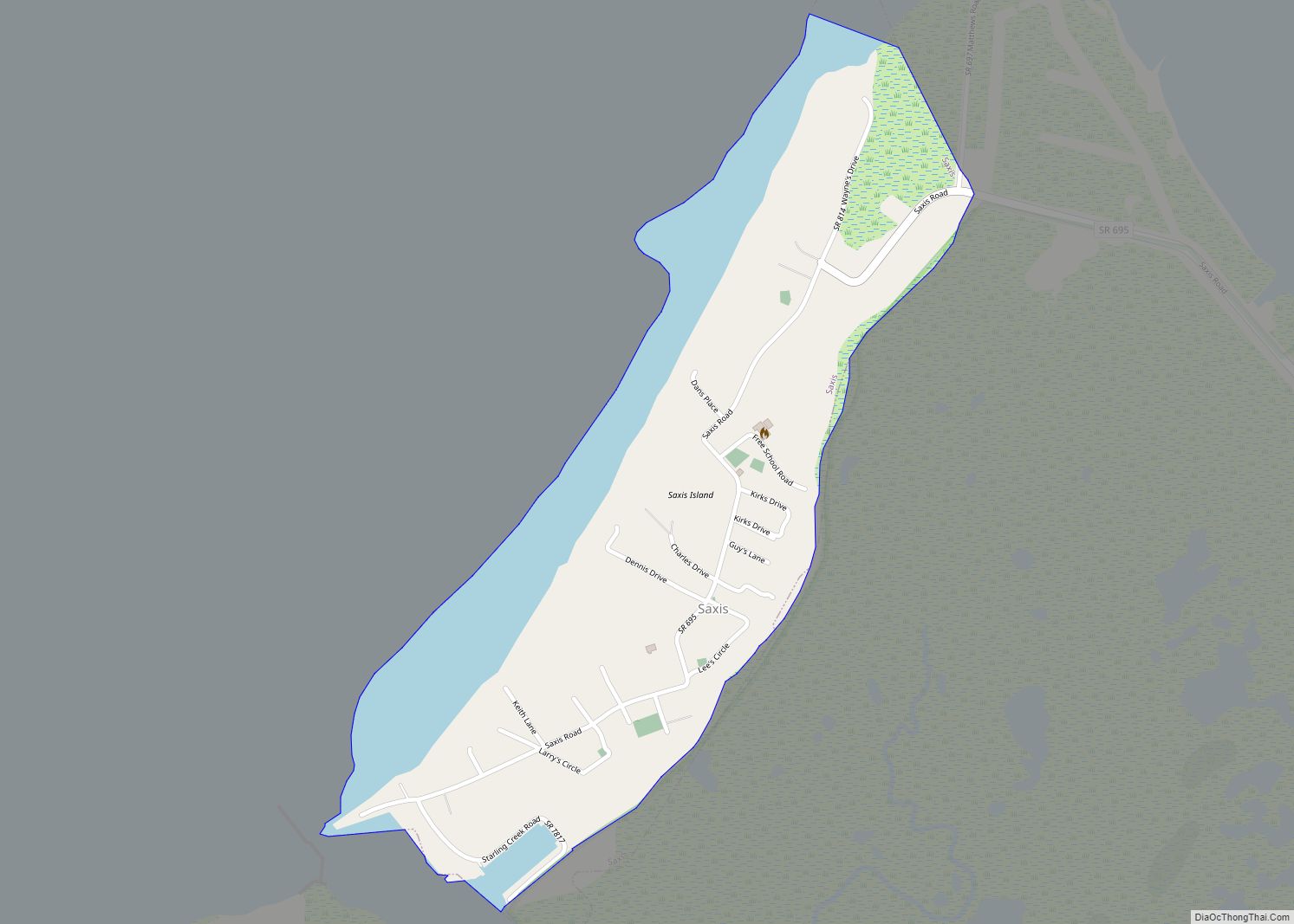
Map of Saxis town
Saxis is a town in Accomack County, Virginia, United States. The population was 241 at the 2010 census. Saxis town overview: Name: Saxis town LSAD Code: 43 LSAD Description: town (suffix) State: Virginia County: Accomack County Elevation: 7 ft (2 m) Total Area: 0.41 sq mi (1.06 km²) Land Area: 0.41 sq mi (1.05 km²) Water Area: 0.01 sq mi (0.01 km²) Total Population: 241 Population ... Read more
Map of Saxis town
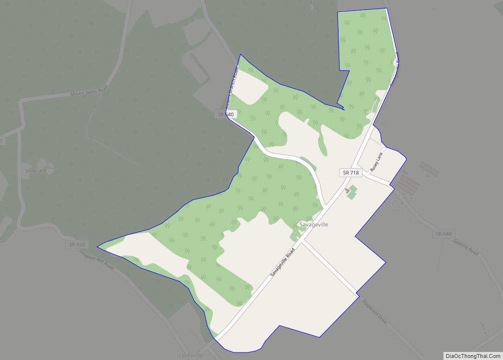
Map of Savageville CDP
Savageville is a census-designated place (CDP) in Accomack County, Virginia, United States. It was first listed as a CDP in 2010. Per the 2020 census, the population was 175. Savageville CDP overview: Name: Savageville CDP LSAD Code: 57 LSAD Description: CDP (suffix) State: Virginia County: Accomack County Elevation: 16 ft (5 m) Total Area: 175 FIPS code: ... Read more
Map of Savageville CDP
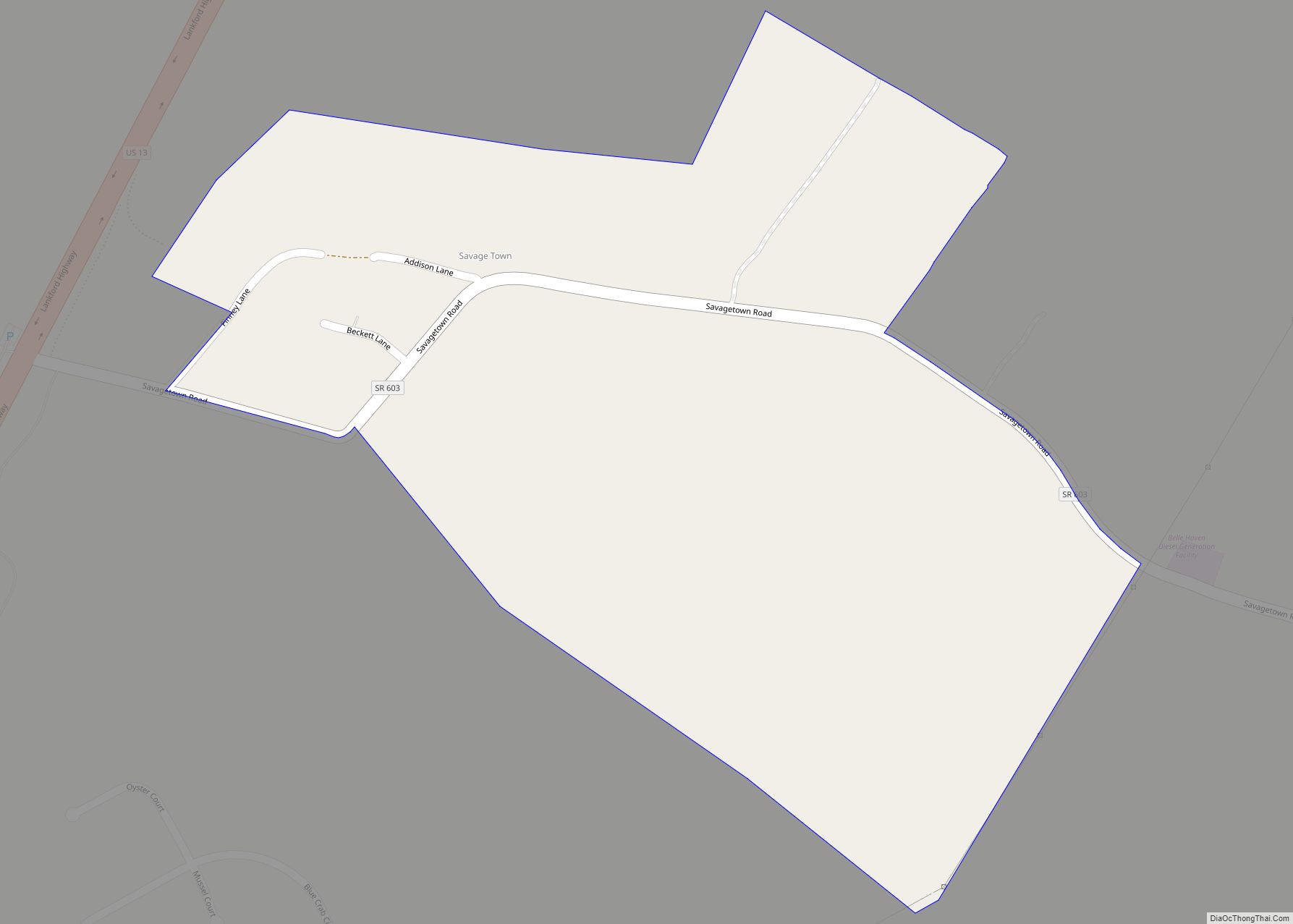
Map of Savage Town CDP
Savage Town is a census-designated place (CDP) in Accomack County, Virginia, United States. It was first listed as a CDP in 2010. Per the 2020 census, the population was 72. Savage Town CDP overview: Name: Savage Town CDP LSAD Code: 57 LSAD Description: CDP (suffix) State: Virginia County: Accomack County Elevation: 36 ft (11 m) Total Area: ... Read more
Map of Savage Town CDP
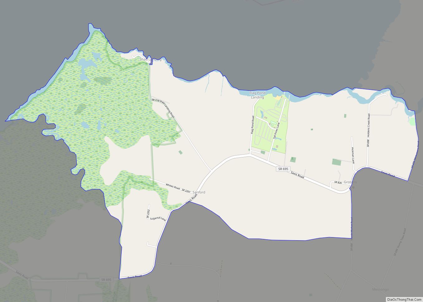
Map of Sanford CDP, Virginia
Sanford is a census-designated place (CDP) in Accomack County, Virginia, United States. It was first listed as a CDP in 2010. Per the 2020 census, the population was 168. Pocomoke Farm was added to the National Register of Historic Places in 2007. Sanford CDP overview: Name: Sanford CDP LSAD Code: 57 LSAD Description: CDP (suffix) ... Read more
Map of Sanford CDP, Virginia
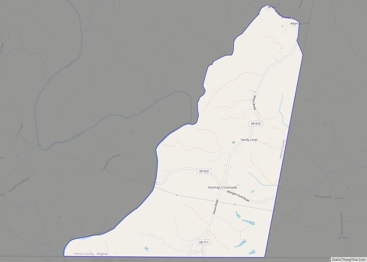
Map of Sandy Level CDP
Sandy Level is a census-designated place (CDP) in Henry County, Virginia, United States. The population was 484 at the 2010 census, which was a significant decrease from the 689 reported in 2000. It is part of the Martinsville Micropolitan Statistical Area. Sandy Level CDP overview: Name: Sandy Level CDP LSAD Code: 57 LSAD Description: CDP ... Read more
Map of Sandy Level CDP
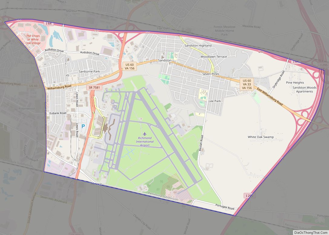
Map of Sandston CDP
Sandston is a census-designated place (CDP) in Henrico County, Virginia, United States, just outside the state capital of Richmond. The population as of the 2010 Census was 7,571. It was designated a Historic District by Henrico County in 2021. The Battle of Seven Pines took place nearby in 1862. It was second only to the ... Read more
Map of Sandston CDP
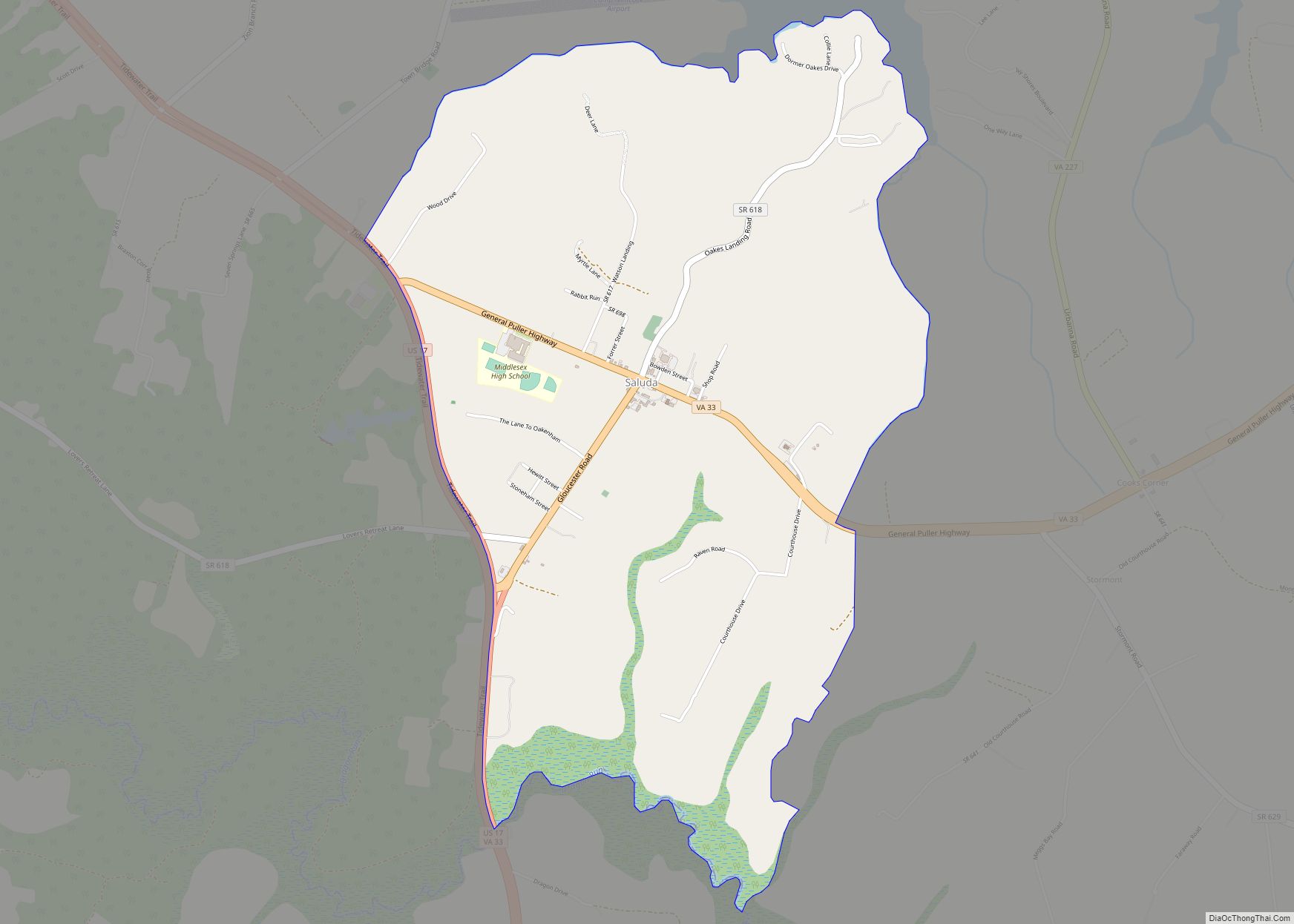
Map of Saluda CDP, Virginia
Saluda is a census-designated place (CDP) in and the county seat of Middlesex County, Virginia, United States. The population as of the 2010 Census was 769. The Middlesex County Courthouse was built between 1850 and 1874 by architects William R. Jones and John P. Hill, and is listed in the National Register of Historic Places. ... Read more
Map of Saluda CDP, Virginia
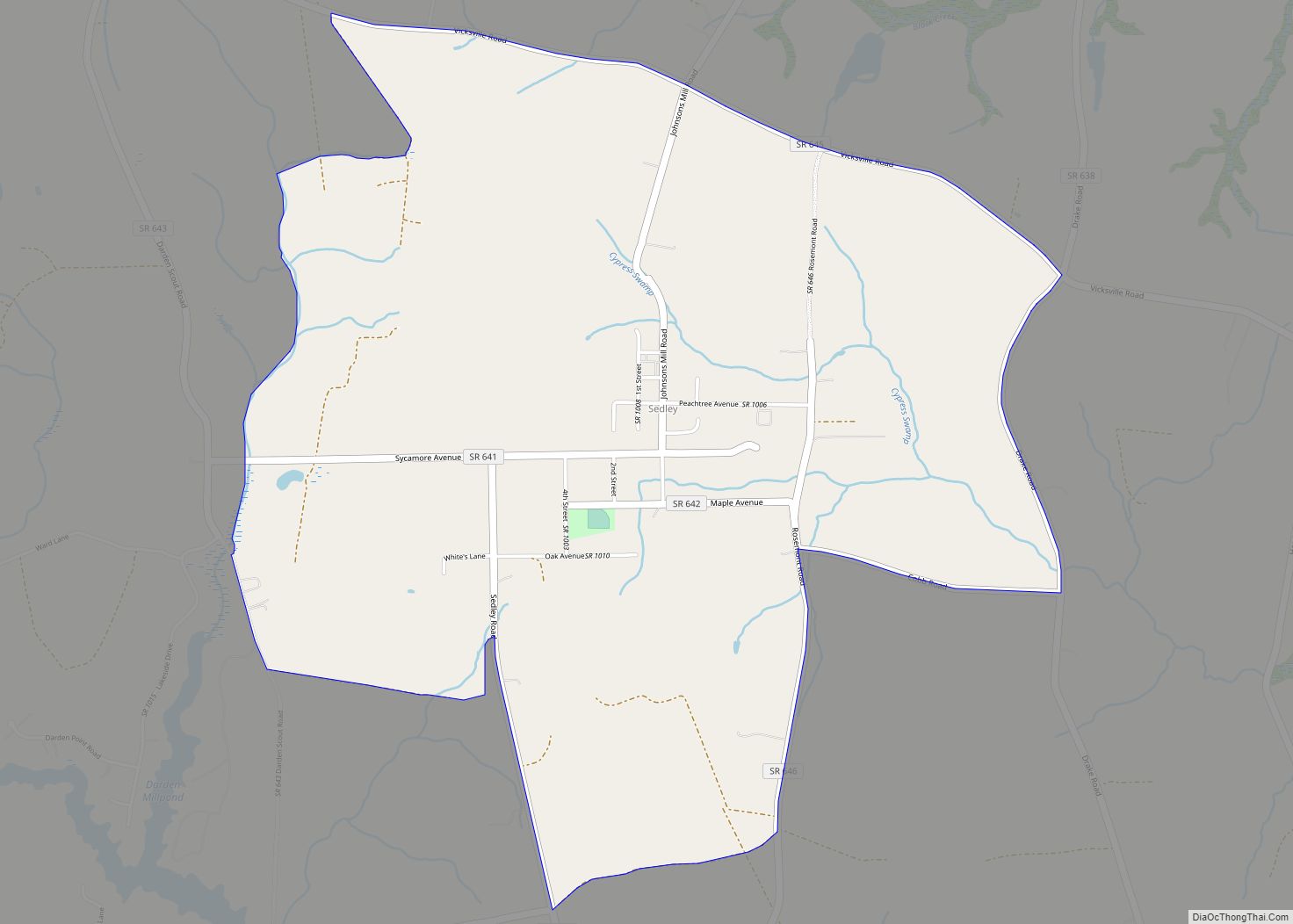
Map of Sedley CDP
Sedley is a census-designated place (CDP) in the middle of Southampton County, Virginia, United States. The population as of the 2010 Census was 470. It lies at an elevation of 89 feet (27 m). Sedley CDP overview: Name: Sedley CDP LSAD Code: 57 LSAD Description: CDP (suffix) State: Virginia County: Southampton County FIPS code: 5171040 ... Read more
Map of Sedley CDP