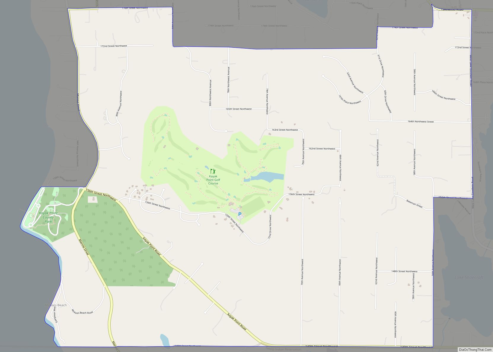
Map of Kayak Point CDP
Kayak Point is a census-designated place (CDP) located in Snohomish County, Washington, United States. The CDP was newly defined by the United States Census Bureau in 2013. The population was 1,737 as of 2013 estimates. It is home to Kayak Point County Park as well as a golf course. Kayak Point CDP overview: Name: Kayak ... Read more
Map of Kayak Point CDP
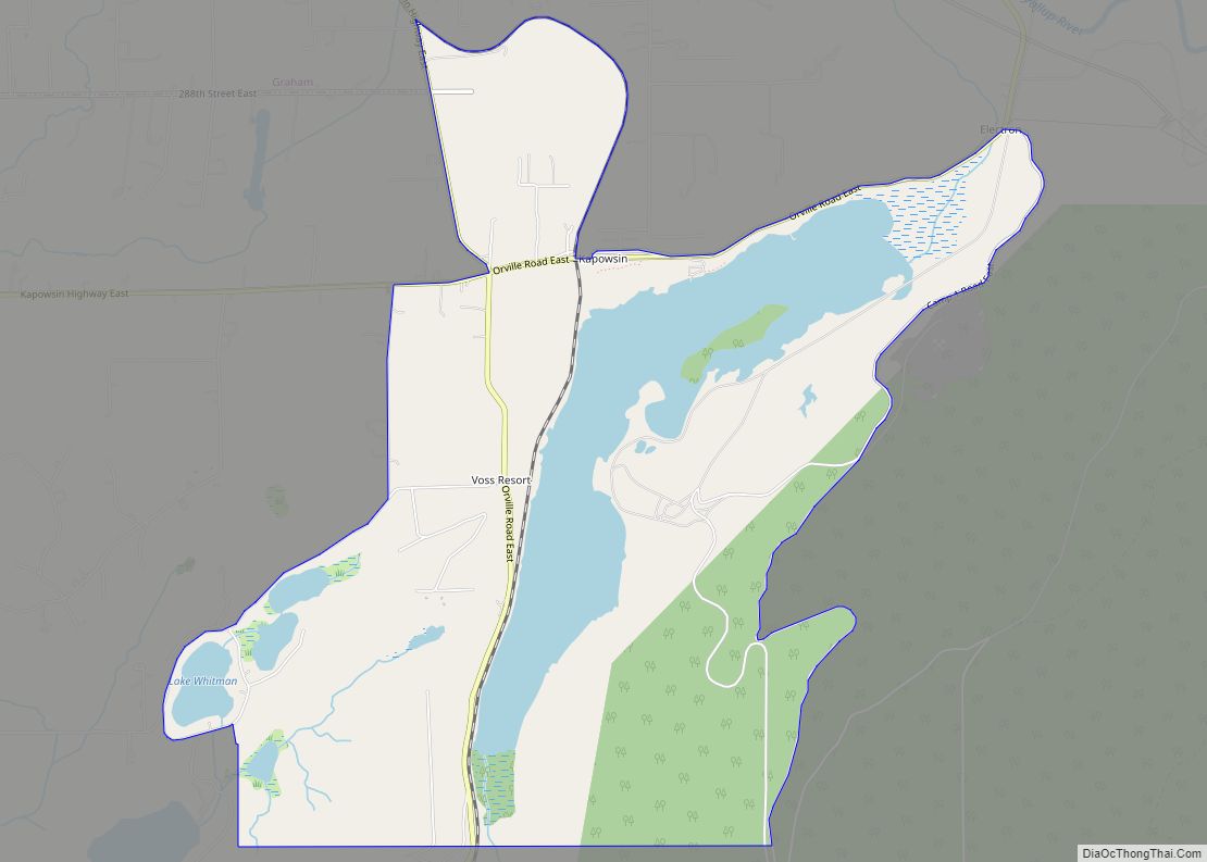
Map of Kapowsin CDP
Kapowsin /kəˈpaʊ.ə.sɪn/ is a census-designated place located approximately 25 miles (38 kilometers) southeast of Tacoma in Pierce County, Washington, United States. The 2020 Census placed the population at 249. Kapowsin, originally Kapousen Precint, was named for its shallow lake. The ancient glacial drainage channel provides a nearly level connection between the Puyallup and Nisqually Rivers, ... Read more
Map of Kapowsin CDP
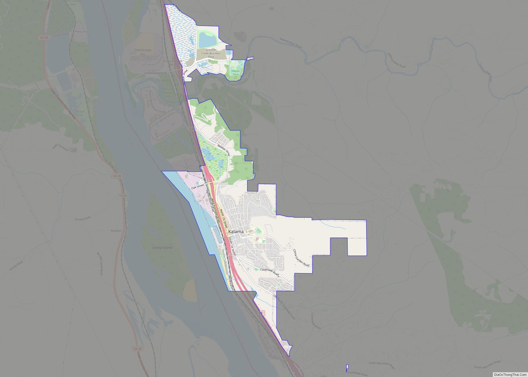
Map of Kalama city
Kalama (kaw-law-maw) is a city in Cowlitz County, Washington, United States. It is part of the Longview, Washington Metropolitan Statistical Area. The population was 2,959 as of the 2020 census. Kalama city overview: Name: Kalama city LSAD Code: 25 LSAD Description: city (suffix) State: Washington County: Cowlitz County Elevation: 39 ft (12 m) Total Area: 3.83 sq mi (9.91 km²) ... Read more
Map of Kalama city
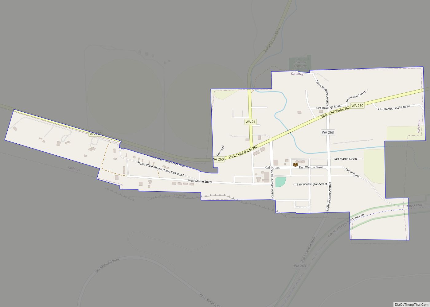
Map of Kahlotus city
Kahlotus (/kəˈloʊdəs/) is a city in Franklin County, Washington, United States. The population was 193 at the 2010 census. The Washington State Office of Financial Management’s 2015 estimate placed the population at 190. Kahlotus city overview: Name: Kahlotus city LSAD Code: 25 LSAD Description: city (suffix) State: Washington County: Franklin County Elevation: 902 ft (275 m) Total ... Read more
Map of Kahlotus city
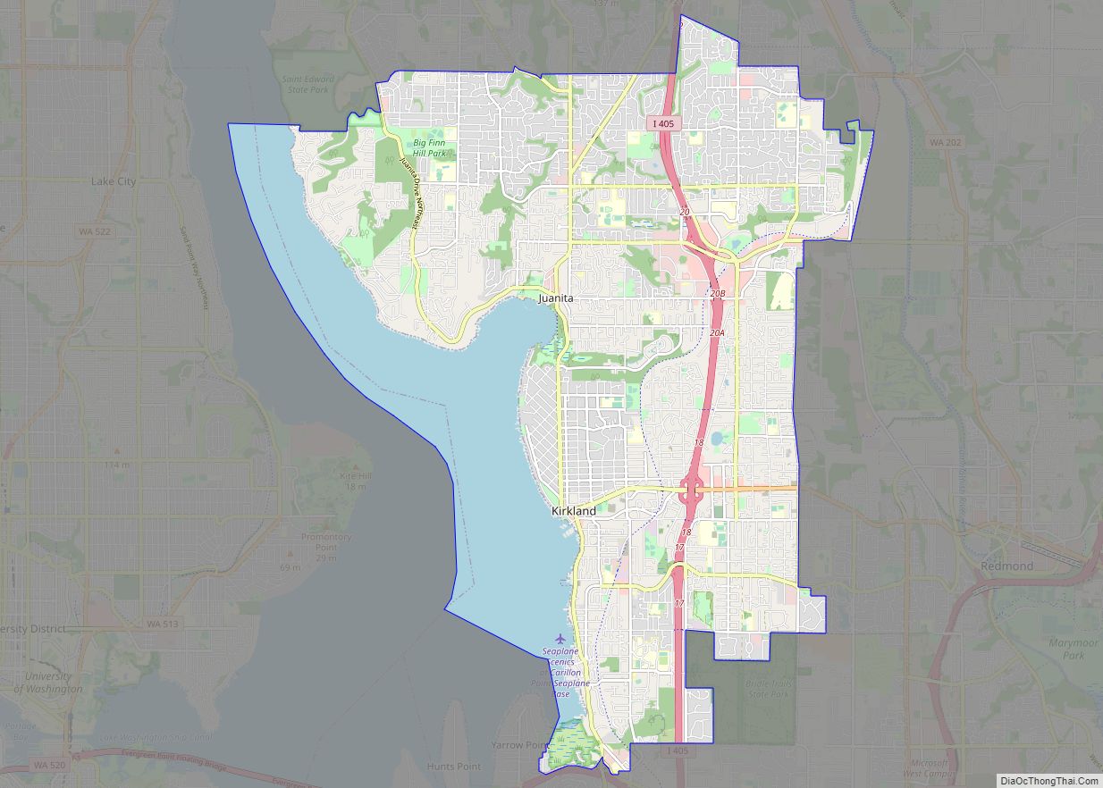
Map of Kirkland city, Washington
Kirkland is a city in King County, Washington, United States. A suburb east of Seattle, its population was 92,175 in the 2020 U.S. census which made it the sixth largest city in the county and the twelfth largest in the state. The city’s downtown waterfront has restaurants, art galleries, a performing arts center, public parks, ... Read more
Map of Kirkland city, Washington
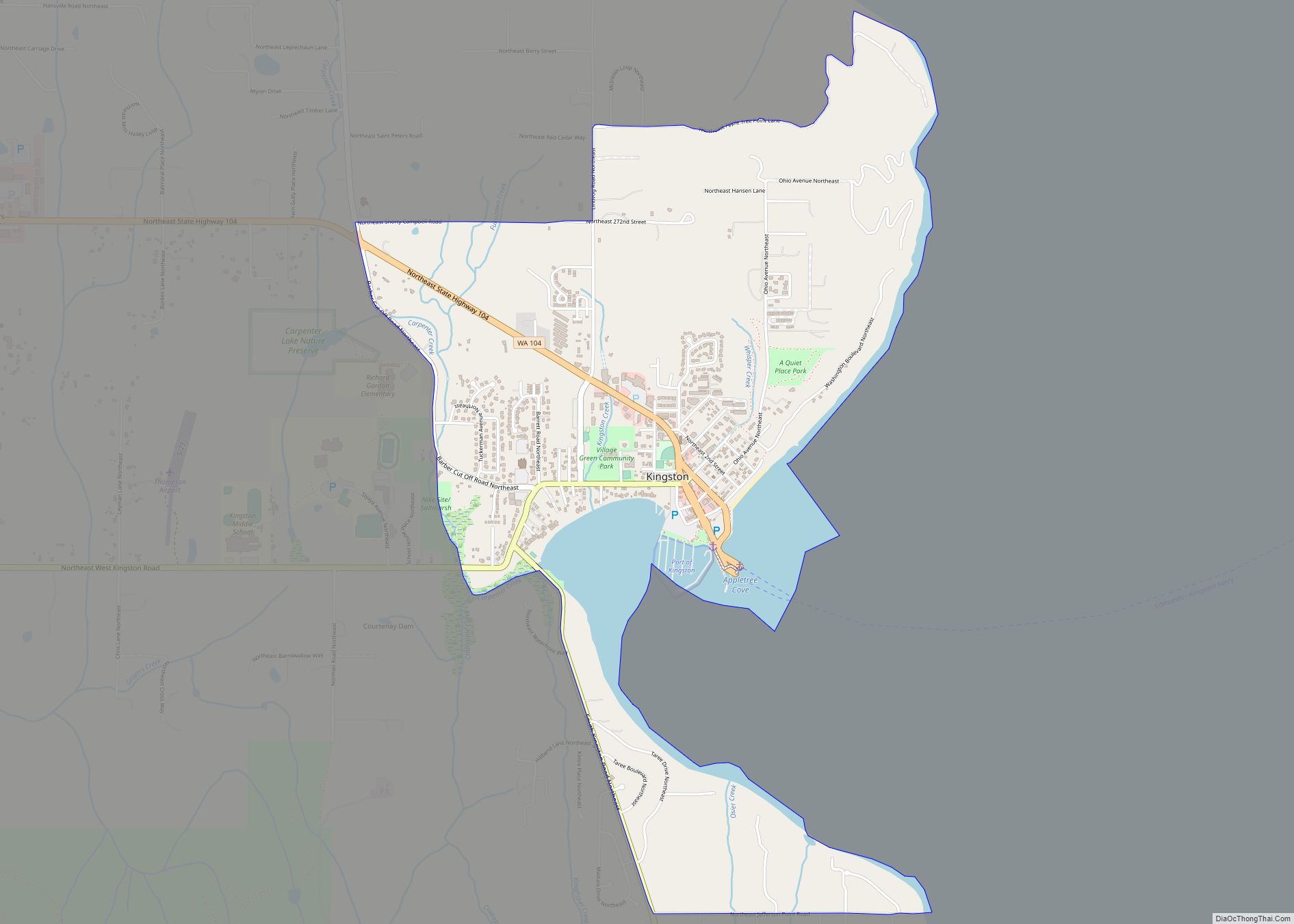
Map of Kingston CDP, Washington
Kingston (formerly Appletree Cove) is an unincorporated community and census-designated place (CDP) in Kitsap County, Washington, United States. The population was 2,099 at the 2010 census. Kingston is along the shores of Appletree Cove and Puget Sound, and is home to a major Washington State Ferry terminal linking it to Edmonds. Kingston CDP overview: Name: ... Read more
Map of Kingston CDP, Washington
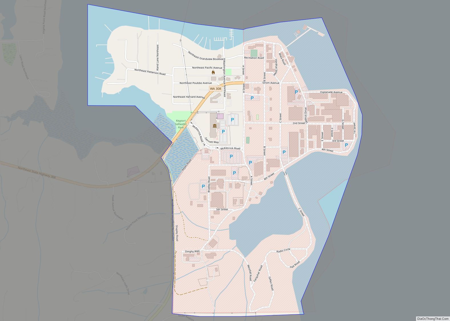
Map of Keyport CDP, Washington
Keyport is an unincorporated community and census-designated place (CDP) in Kitsap County, Washington, United States. The community is located at the eastern terminus of State Route 308 on the Kitsap Peninsula. As of the 2010 census, the Keyport CDP had a total population of 554. Keyport was named for Keyport, New Jersey, in 1896. Its ... Read more
Map of Keyport CDP, Washington
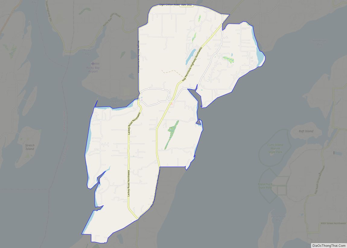
Map of Key Center CDP
Key Center is a census-designated place (CDP) in Pierce County, Washington, United States. The population was 3,692 at the 2010 census. In 2016, the population grew to 3,810. The community is located on Key Peninsula. Key Center CDP overview: Name: Key Center CDP LSAD Code: 57 LSAD Description: CDP (suffix) State: Washington County: Pierce County ... Read more
Map of Key Center CDP
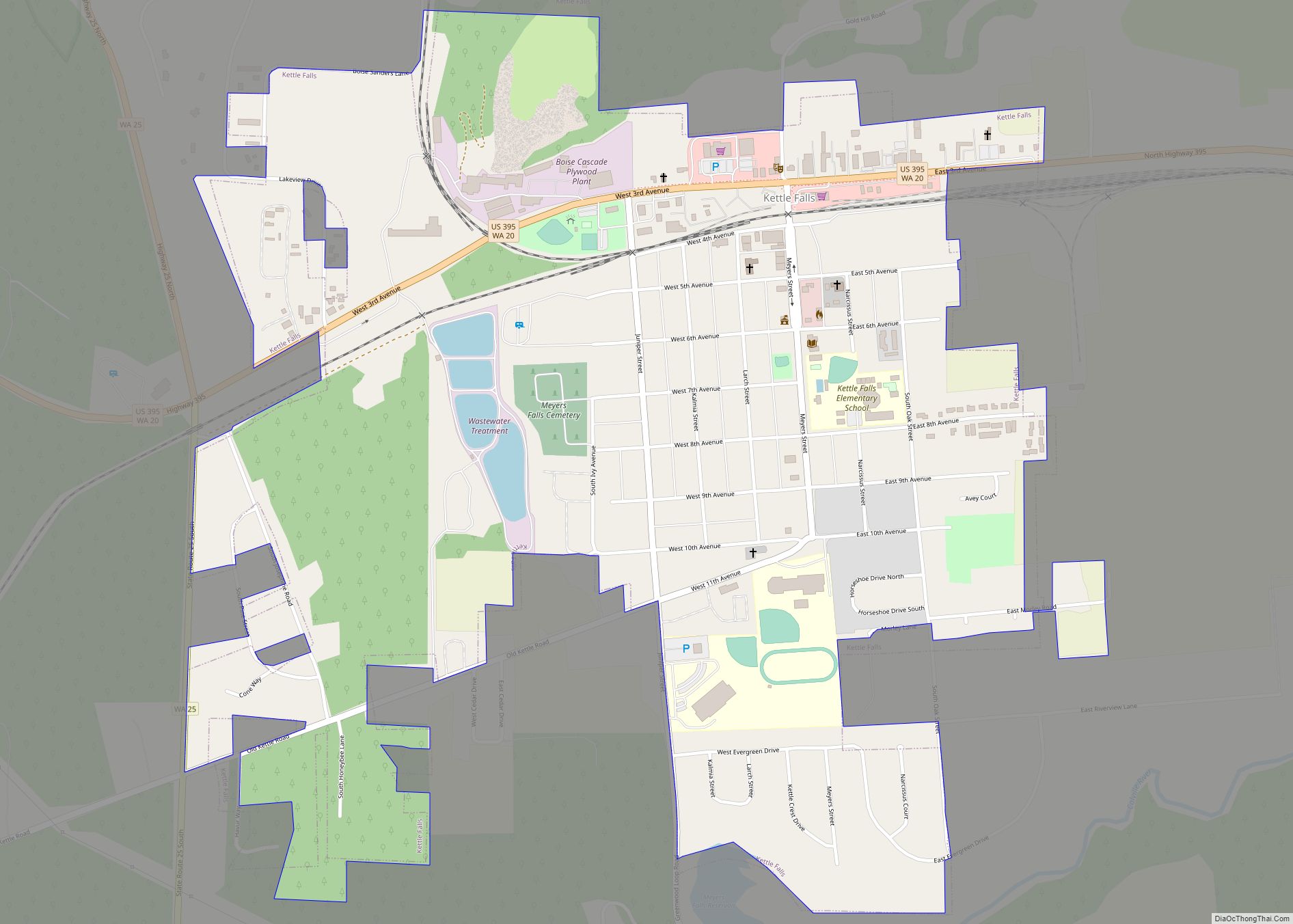
Map of Kettle Falls city
Kettle Falls is a city in Stevens County, Washington, United States, named for the nearby Kettle Falls on the Kettle River. The city itself is located on the Colville River immediately upstream from its confluence with the Columbia River. The population of the city was 1,595 at the time of the 2010 census, a 4.5% ... Read more
Map of Kettle Falls city
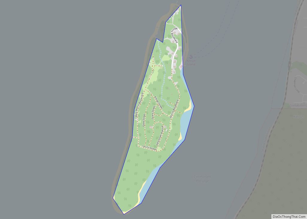
Map of Ketron Island CDP
Ketron Island is an island and a census-designated place (CDP) in Pierce County, Washington, United States. The island had a population of 24 persons according to the 2000 census, and 17 persons at the 2010 census. Ketron Island is located in southern Puget Sound just off the shoreline from Steilacoom. It lies between the mainland ... Read more
Map of Ketron Island CDP
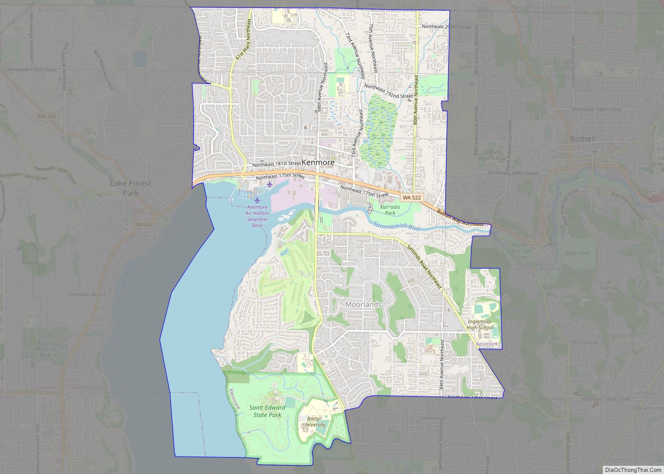
Map of Kenmore city, Washington
Kenmore is a city in King County, Washington, United States, along the northernmost shore of Lake Washington. It is a suburban commuter town at the mouth of the Sammamish River, 12 miles (19 km) northeast of downtown Seattle and 2 miles (3.2 km) west of Bothell. The population was 20,460 at the 2010 census. Kenmore Air Harbor ... Read more
Map of Kenmore city, Washington
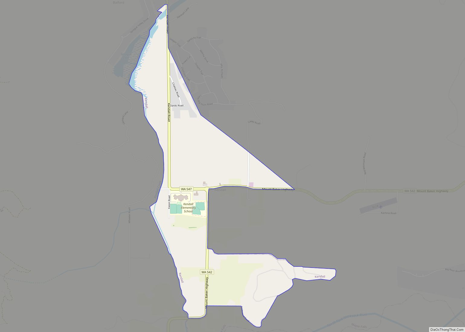
Map of Kendall CDP, Washington
Kendall is a census-designated place (CDP) in Whatcom County, Washington, United States. The population was 191 at the 2010 census. Kendall CDP overview: Name: Kendall CDP LSAD Code: 57 LSAD Description: CDP (suffix) State: Washington County: Whatcom County Elevation: 443 ft (135 m) Total Area: 0.8 sq mi (2.2 km²) Land Area: 0.8 sq mi (2.1 km²) Water Area: 0.0 sq mi (0.1 km²) Total Population: ... Read more
Map of Kendall CDP, Washington