Keyport is an unincorporated community and census-designated place (CDP) in Kitsap County, Washington, United States. The community is located at the eastern terminus of State Route 308 on the Kitsap Peninsula. As of the 2010 census, the Keyport CDP had a total population of 554.
Keyport was named for Keyport, New Jersey, in 1896. Its nickname is “Torpedo Town USA”. Situated on a small peninsula jutting into Liberty Bay near Poulsbo, it is the home of a small United States Navy depot tasked with ranging and repairing torpedoes for the US Navy and allies.
Keyport’s only church, Keyport Bible Church, was established in the early 1900s and incorporated in 1926. The church’s building was dedicated May 2, 1937, and has since added a number of classrooms and a multipurpose building.
| Name: | Keyport CDP |
|---|---|
| LSAD Code: | 57 |
| LSAD Description: | CDP (suffix) |
| State: | Washington |
| County: | Kitsap County |
| Elevation: | 35 ft (11 m) |
| Total Area: | 0.70 sq mi (1.81 km²) |
| Land Area: | 0.49 sq mi (1.27 km²) |
| Water Area: | 0.21 sq mi (0.54 km²) |
| Total Population: | 554 |
| Population Density: | 1,126/sq mi (434.9/km²) |
| ZIP code: | 98345 |
| Area code: | 360 |
| FIPS code: | 5335625 |
| GNISfeature ID: | 1505963 |
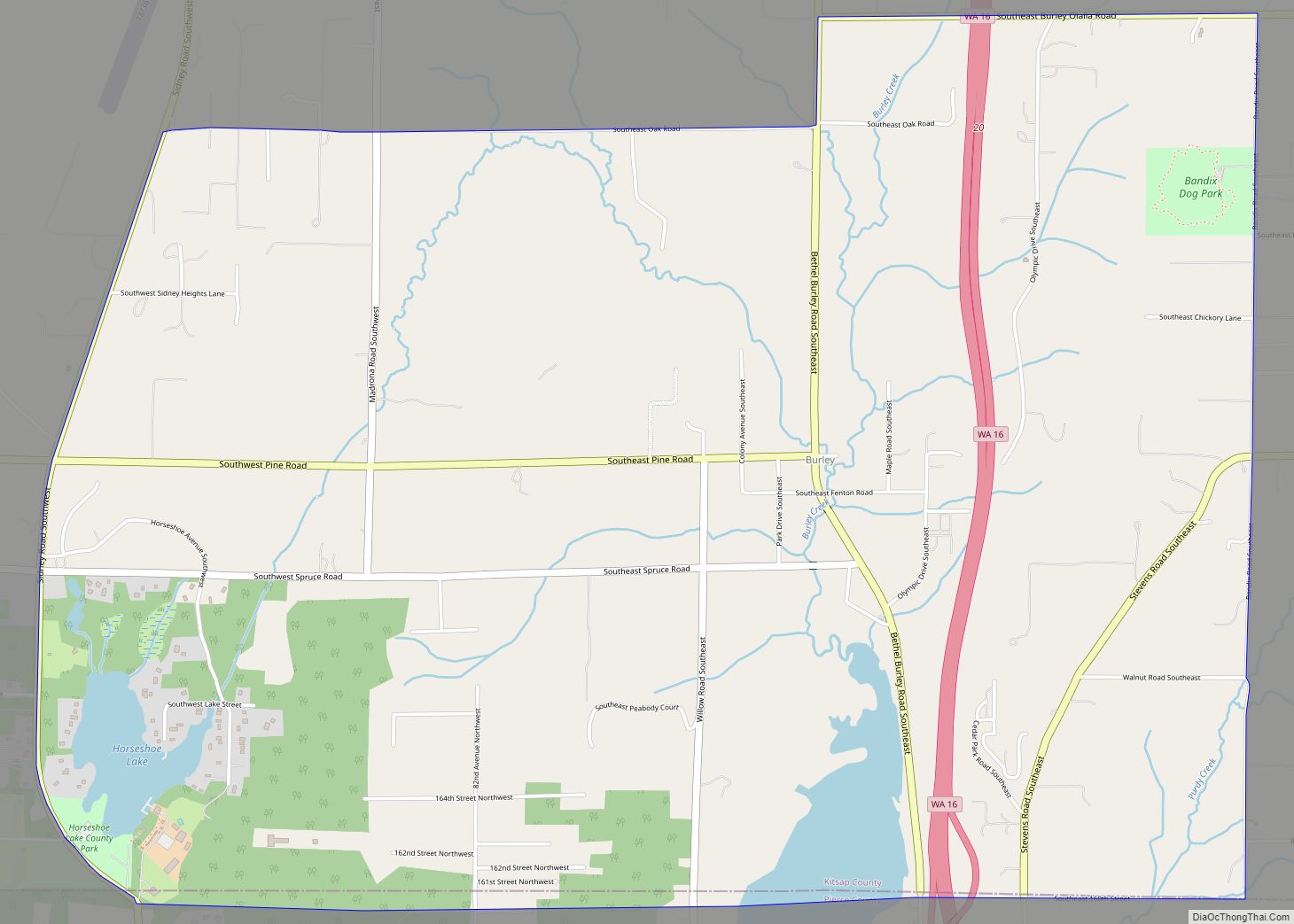
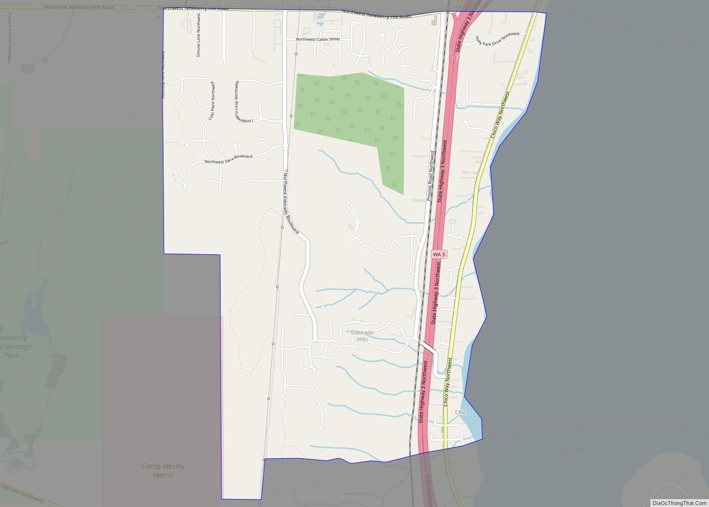
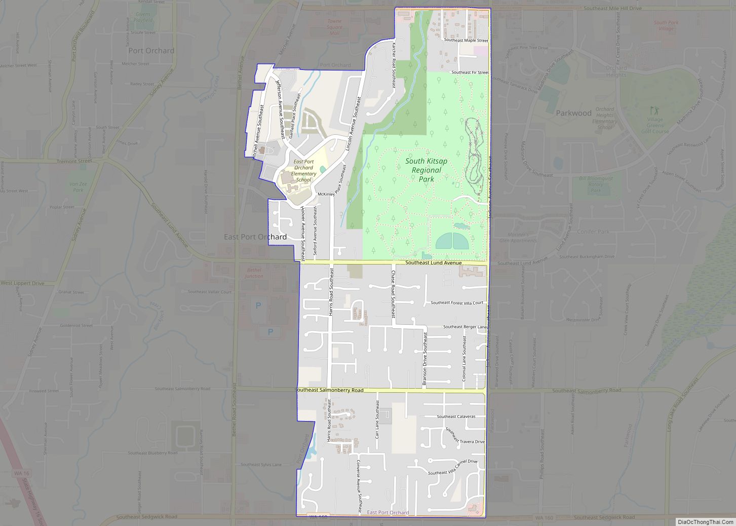
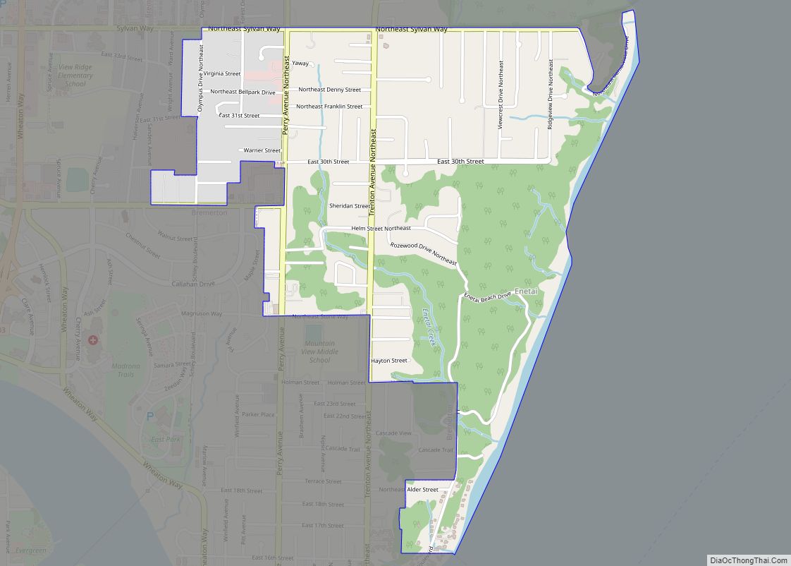
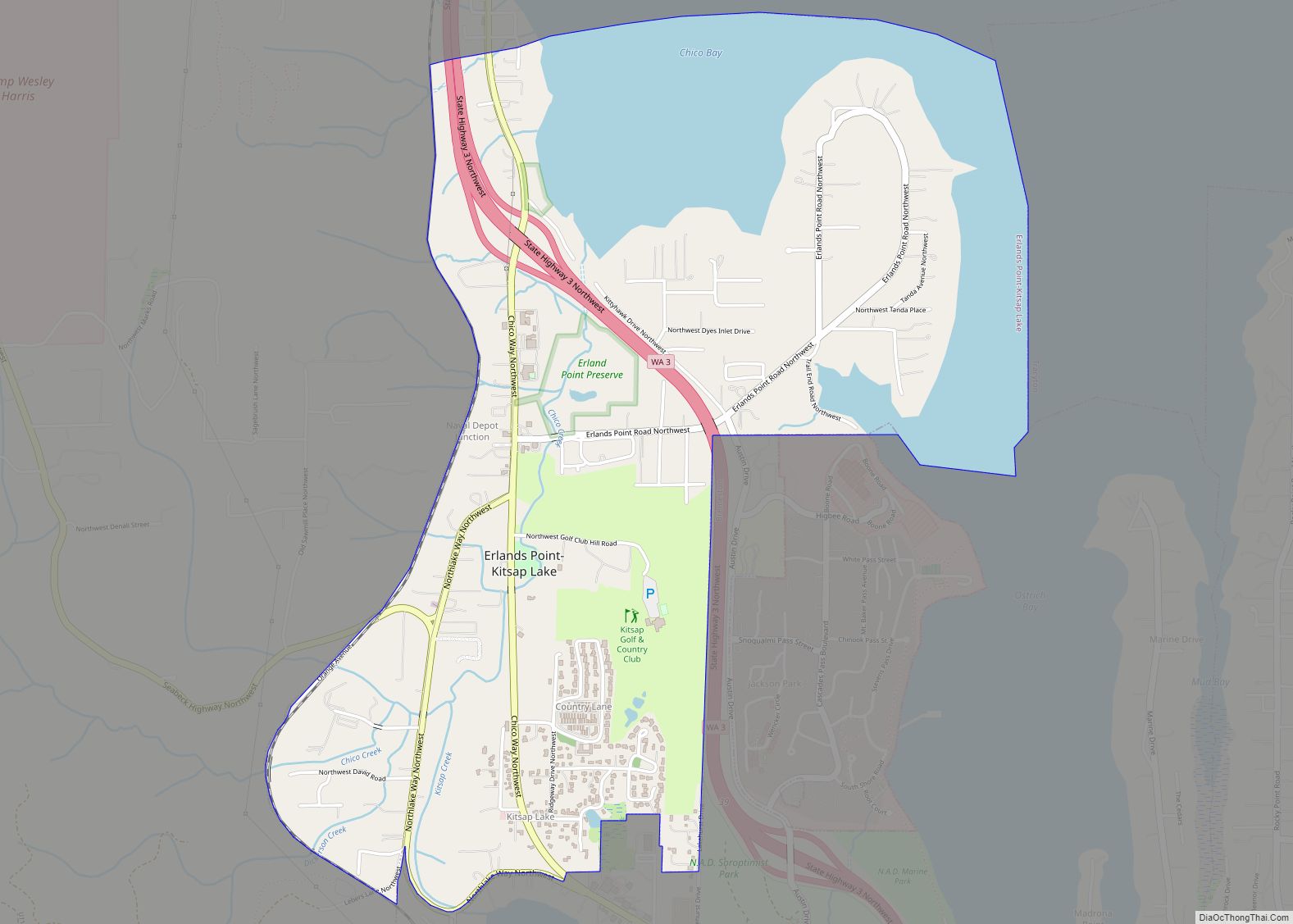
Online Interactive Map
Click on ![]() to view map in "full screen" mode.
to view map in "full screen" mode.
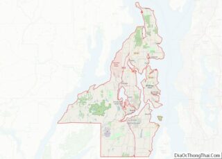
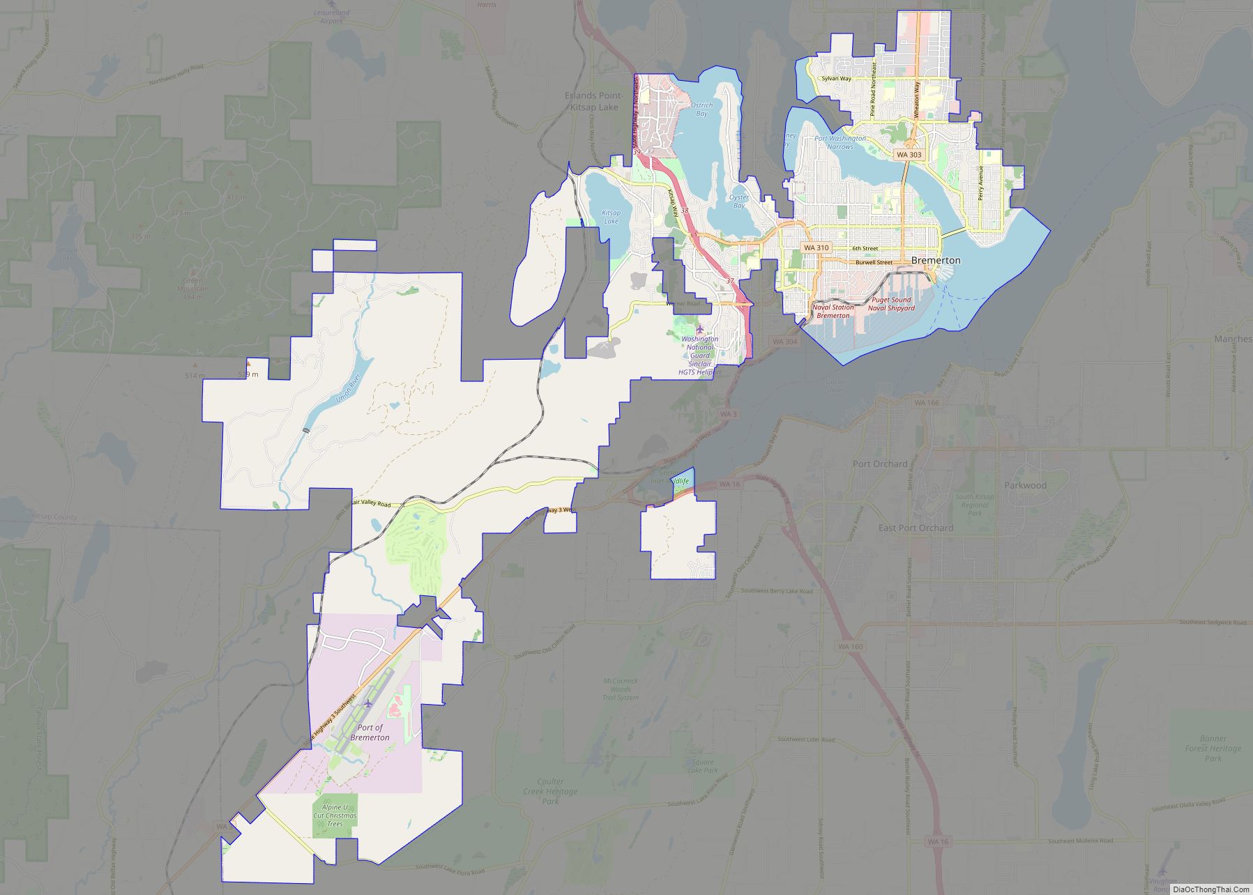
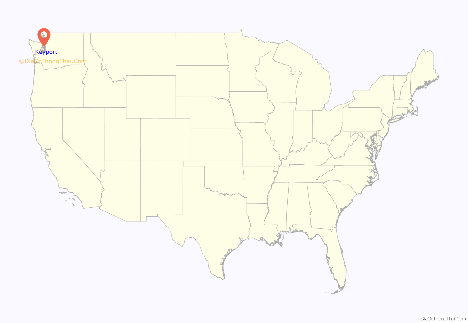
Keyport location map. Where is Keyport CDP?
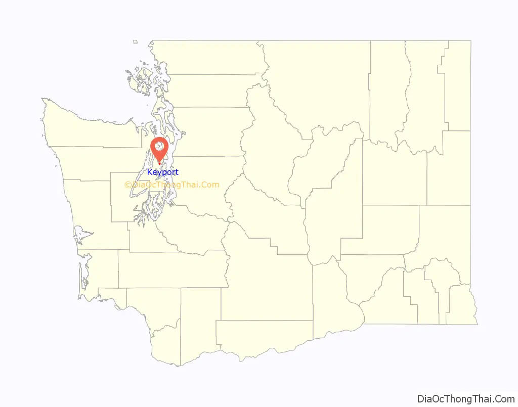
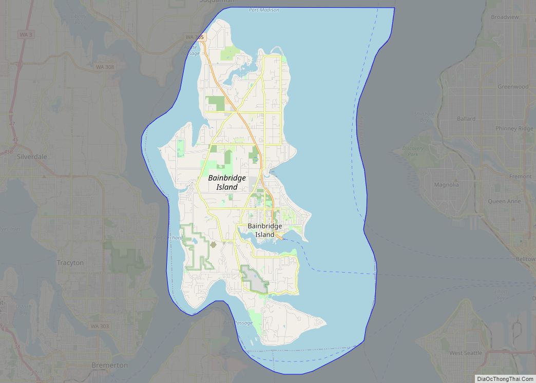
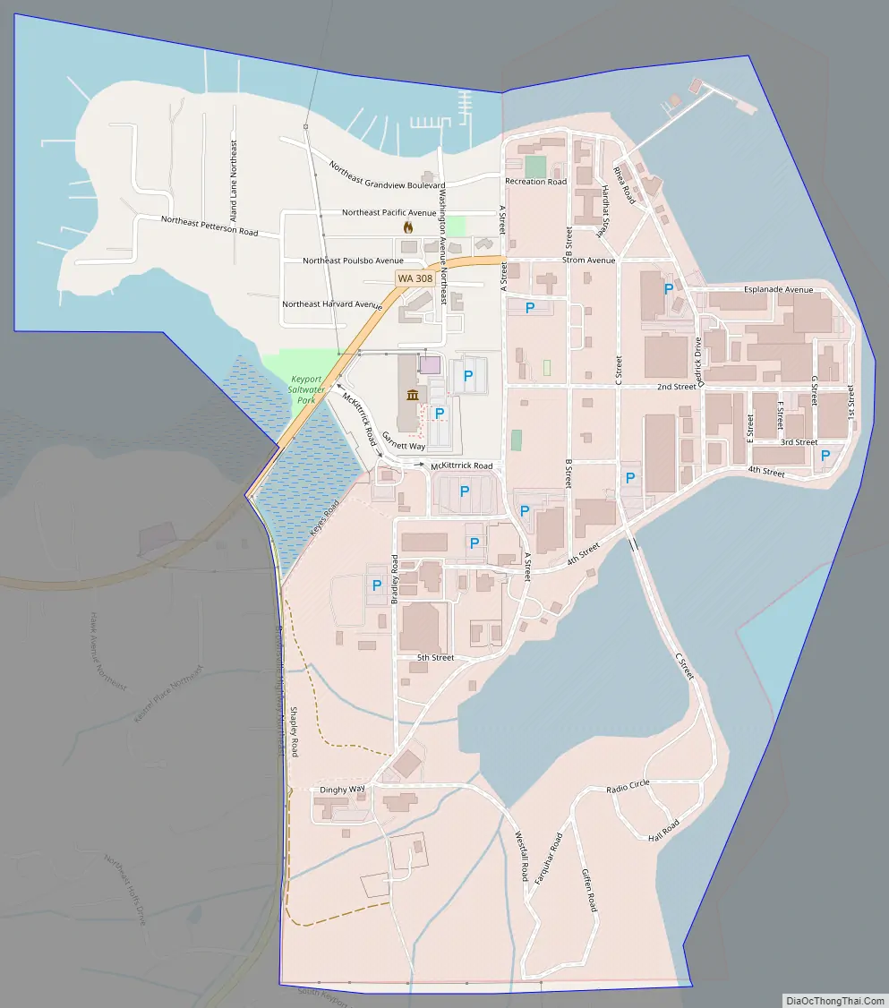
Keyport Road Map
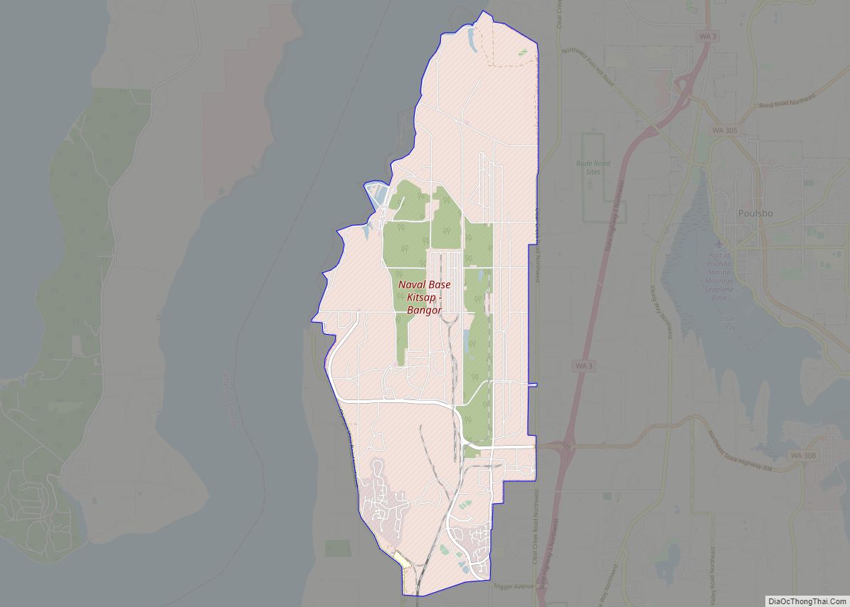
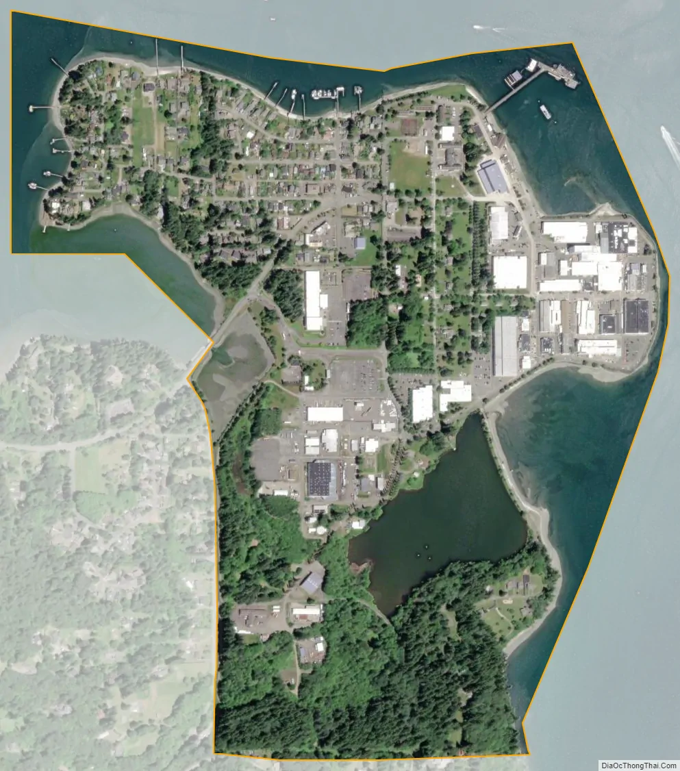
Keyport city Satellite Map
See also
Map of Washington State and its subdivision:- Adams
- Asotin
- Benton
- Chelan
- Clallam
- Clark
- Columbia
- Cowlitz
- Douglas
- Ferry
- Franklin
- Garfield
- Grant
- Grays Harbor
- Island
- Jefferson
- King
- Kitsap
- Kittitas
- Klickitat
- Lewis
- Lincoln
- Mason
- Okanogan
- Pacific
- Pend Oreille
- Pierce
- San Juan
- Skagit
- Skamania
- Snohomish
- Spokane
- Stevens
- Thurston
- Wahkiakum
- Walla Walla
- Whatcom
- Whitman
- Yakima
- Alabama
- Alaska
- Arizona
- Arkansas
- California
- Colorado
- Connecticut
- Delaware
- District of Columbia
- Florida
- Georgia
- Hawaii
- Idaho
- Illinois
- Indiana
- Iowa
- Kansas
- Kentucky
- Louisiana
- Maine
- Maryland
- Massachusetts
- Michigan
- Minnesota
- Mississippi
- Missouri
- Montana
- Nebraska
- Nevada
- New Hampshire
- New Jersey
- New Mexico
- New York
- North Carolina
- North Dakota
- Ohio
- Oklahoma
- Oregon
- Pennsylvania
- Rhode Island
- South Carolina
- South Dakota
- Tennessee
- Texas
- Utah
- Vermont
- Virginia
- Washington
- West Virginia
- Wisconsin
- Wyoming