Map of Little America CDP
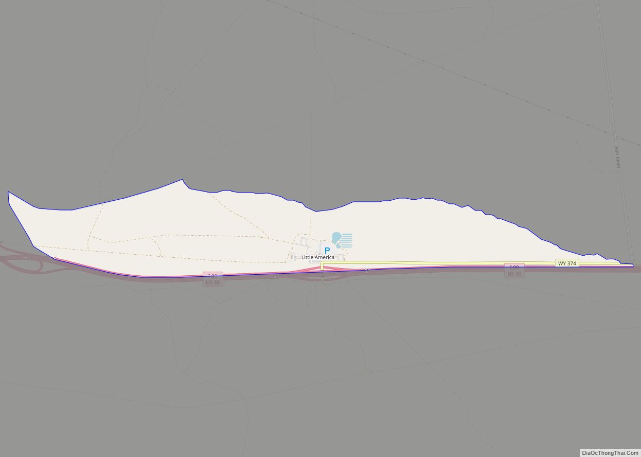
Little America is a census-designated place (CDP) in Sweetwater County, Wyoming, United States. The population was 68 at the 2010 census. The community got its name from the Little America motel, which was purposefully located in a remote location as a haven, not unlike the Little America base camp the polar explorer Richard E. Byrd ... Read more
Map of Little America CDP
Map of Lingle town
Lingle is a town in Goshen County, Wyoming, United States. The population was 468 at the 2010 census. Former Wyoming Supreme Court Justice Richard V. Thomas was reared in Lingle. Lingle town overview: Name: Lingle town LSAD Code: 43 LSAD Description: town (suffix) State: Wyoming County: Goshen County Elevation: 4,173 ft (1,272 m) Total Area: 0.31 sq mi (0.81 km²) ... Read more
Map of Lingle town
Map of Lander city
Lander is a city in Wyoming, United States, and the county seat of Fremont County. It is in central Wyoming, along the Middle Fork of the Popo Agie River, just south of the Wind River Indian Reservation. It is a tourism center with several nearby guest ranches. Its population was 7,487 at the 2010 census. ... Read more
Map of Lander city
Map of Lance Creek CDP
Lance Creek is a census-designated place (CDP) in Niobrara County, Wyoming, United States. The population was 43 at the 2010 census. Lance Creek is the namesake of the Lance Formation, a rock formation from the Late Cretaceous that has yielded fossils from a diverse number of species. Lance Creek CDP overview: Name: Lance Creek CDP ... Read more
Map of Lance Creek CDP
Map of Meadow Acres CDP
Meadow Acres is a census-designated place (CDP) in Natrona County, Wyoming, United States. It is part of the Casper, Wyoming Metropolitan Statistical Area. The population was 198 at the 2010 census. Meadow Acres CDP overview: Name: Meadow Acres CDP LSAD Code: 57 LSAD Description: CDP (suffix) State: Wyoming County: Natrona County Elevation: 5,046 ft (1,538 m) Total ... Read more
Map of Meadow Acres CDP
Map of Osmond CDP, Wyoming
Osmond is a census-designated place (CDP) in Lincoln County, Wyoming, United States. The population was 397 at the 2010 census. Osmond CDP overview: Name: Osmond CDP LSAD Code: 57 LSAD Description: CDP (suffix) State: Wyoming County: Lincoln County Elevation: 6,329 ft (1,929 m) Total Area: 3.2 sq mi (8.4 km²) Land Area: 3.2 sq mi (8.4 km²) Water Area: 0.0 sq mi (0.0 km²) Total Population: ... Read more
Map of Osmond CDP, Wyoming
Map of McKinnon CDP
McKinnon is a census-designated place (CDP) in Sweetwater County, Wyoming, United States. The population was 60 at the 2010 census. The first rendezvous of white traders and trappers in the Rocky Mountains took place in July 1825, just north of McKinnon along the Henrys Fork river. They joined members of William Henry Ashley’s expedition. McKinnon ... Read more
Map of McKinnon CDP
Map of Marbleton town
Marbleton is a town in Sublette County, Wyoming, United States. The population was 1,094 at the 2010 census. Marbleton town overview: Name: Marbleton town LSAD Code: 43 LSAD Description: town (suffix) State: Wyoming County: Sublette County Elevation: 6,867 ft (2,093 m) Total Area: 0.91 sq mi (2.35 km²) Land Area: 0.91 sq mi (2.35 km²) Water Area: 0.00 sq mi (0.00 km²) Total Population: 1,094 Population ... Read more
Map of Marbleton town
Map of Manville town, Wyoming
Manville is a town in Niobrara County, Wyoming, United States. The population was 95 at the 2010 census. Manville town overview: Name: Manville town LSAD Code: 43 LSAD Description: town (suffix) State: Wyoming County: Niobrara County Elevation: 5,253 ft (1,601 m) Total Area: 0.27 sq mi (0.70 km²) Land Area: 0.27 sq mi (0.70 km²) Water Area: 0.00 sq mi (0.00 km²) Total Population: 95 Population ... Read more
Map of Manville town, Wyoming
Map of Opal town, Wyoming
Opal is a town in Lincoln County, Wyoming, United States. The population was 96 at the 2010 census. Opal town overview: Name: Opal town LSAD Code: 43 LSAD Description: town (suffix) State: Wyoming County: Lincoln County Elevation: 6,670 ft (2,033 m) Total Area: 0.39 sq mi (1.02 km²) Land Area: 0.39 sq mi (1.02 km²) Water Area: 0.00 sq mi (0.00 km²) Total Population: 96 Population ... Read more
Map of Opal town, Wyoming
Map of Manderson town
Manderson is a town in Big Horn County, Wyoming, United States. The population was 114 at the 2010 census. The town was originally called Alamo, but it was renamed in 1889 in honor of Charles F. Manderson, chief counsel for Burlington Railroad. The town is widely regarded as a speed trap for tourists heading to ... Read more
Map of Manderson town
Map of Oakley CDP, Wyoming
Oakley is a census-designated place (CDP) in Lincoln County, Wyoming, United States. The population was 49 at the 2010 census. Oakley CDP overview: Name: Oakley CDP LSAD Code: 57 LSAD Description: CDP (suffix) State: Wyoming County: Lincoln County Total Area: 0.2 sq mi (0.5 km²) Land Area: 0.2 sq mi (0.5 km²) Water Area: 0.0 sq mi (0 km²) Total Population: 49 Population Density: ... Read more
Map of Oakley CDP, Wyoming