Lander is a city in Wyoming, United States, and the county seat of Fremont County. It is in central Wyoming, along the Middle Fork of the Popo Agie River, just south of the Wind River Indian Reservation. It is a tourism center with several nearby guest ranches. Its population was 7,487 at the 2010 census.
| Name: | Lander city |
|---|---|
| LSAD Code: | 25 |
| LSAD Description: | city (suffix) |
| State: | Wyoming |
| County: | Fremont County |
| Elevation: | 5,358 ft (1,633 m) |
| Total Area: | 9.38 sq mi (24.30 km²) |
| Land Area: | 9.38 sq mi (24.30 km²) |
| Water Area: | 0.00 sq mi (0.00 km²) |
| Total Population: | 7,546 |
| Population Density: | 794.93/sq mi (306.92/km²) |
| ZIP code: | 82520 |
| Area code: | 307 |
| FIPS code: | 5644760 |
| GNISfeature ID: | 1609112 |
| Website: | www.landerwyoming.org |
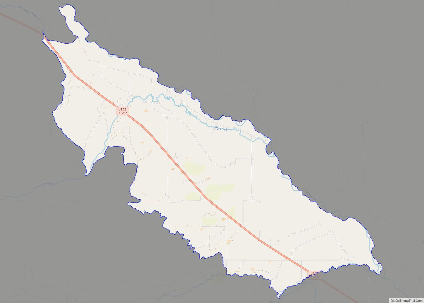
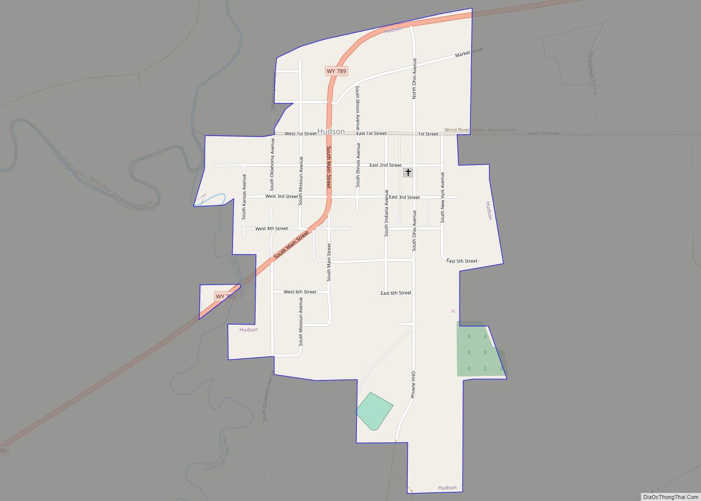
Online Interactive Map
Click on ![]() to view map in "full screen" mode.
to view map in "full screen" mode.
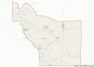
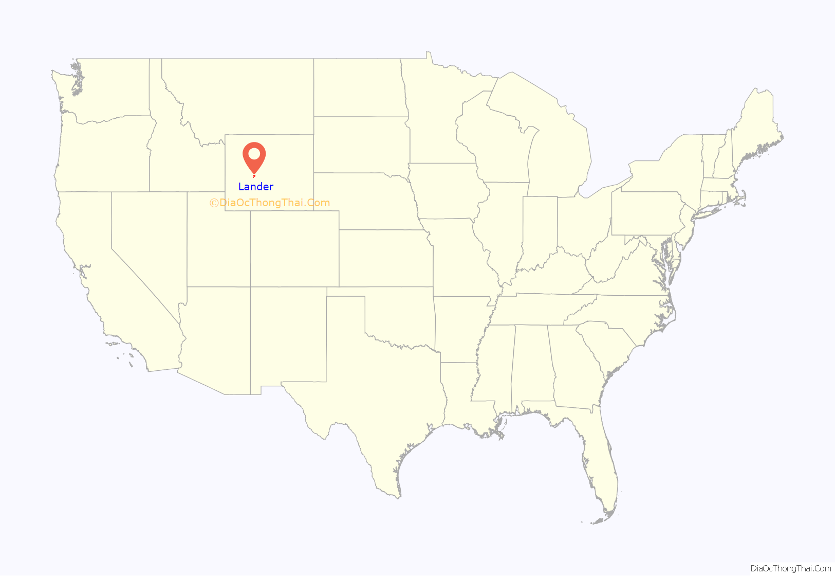
Lander location map. Where is Lander city?

History
Lander was previously known as Pushroot, Old Camp Brown and Fort Augur. Its present name was chosen in 1875 in reference to General Frederick W. Lander, a transcontinental explorer who surveyed the Oregon Trail’s Lander Cutoff.
19th Century
In 1868, the Fort Bridger Treaty set the Wind River Indian Reservation southern border at the Sweetwater River. By the early 1870s, conflicts were increasing between white settlers illegally on the reservation and the Shoshone. The U.S. Government had also learned most of the desirable land east of the Wind River Mountains was on the reservation. As a result, in 1872 Congress authorized a delegation to meet with the elders of the Shoshone, including Chief Washakie to negotiate the trade or purchase of lands south of the North Fork of the Popo Agie River. After several meetings at Camp Stambaugh in the summer of 1872, the tribe agreed to sell the southern part of the reservation to the U.S. for $25,000, $5,000 in stock cattle and a five-year annual salary of $500 to Chief Washakie. The next year in 1873 The Jones Expedition further explored and documented the area that would eventually become Lander while finding a route to Yellowstone National Park. The expedition documented extensively from hot springs to oil reserves and hieroglyphs in the area. Several miles southeast of town near present-day U.S. Route 287 is Dallas Dome, the site of Wyoming’s first oil well completed in 1883. The town was incorporated on July 17, 1890.
20th Century
On October 1, 1906, Lander became the westward terminus of the “Cowboy Line” of the Chicago and North Western Railway, thus originating the slogan “where rails end and trails begin.” Originally intended to be a transcontinental mainline to Coos Bay, Oregon, or Eureka, California, the line never went further west, and service to Lander was abandoned in 1972. With the arrival of the railroad, Lander’s population more than doubled between 1900 and 1910. At the turn of the century the town and surrounding valley were promising places for agricultural development due to the area’s climate and potential for irrigation. At the time there were several new ventures around the town producing wool, wheat, oats, alfalfa, hay, vegetables, small fruit and in some cases orchards. However, a report from the State of Wyoming published in 1907 says agriculture around Lander only supplies local demand. In 1962 U.S. Steel opened the Atlantic City iron ore and mill, 35 miles (56 km) south of Lander near Atlantic City The mine was a significant employer in Lander, but by 1983 it ceased operations.
21st Century
Lander continues to evolve and faces similar issues as many small towns in the Western U.S. Education and outdoor recreation play a large role in the town’s economy with the Wyoming Catholic College and National Outdoor Leadership School both based in Lander. Though agriculture and resource extraction no longer play a large role in the town’s economy, its population has continued to grow since the year 2000.
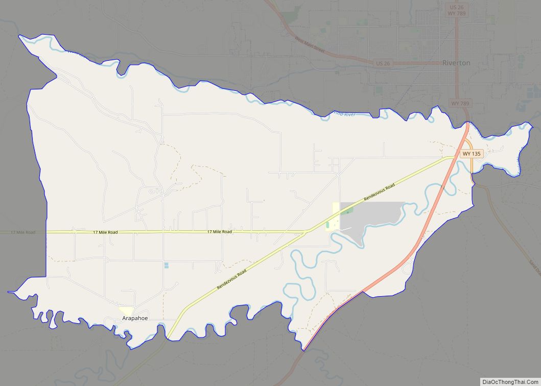
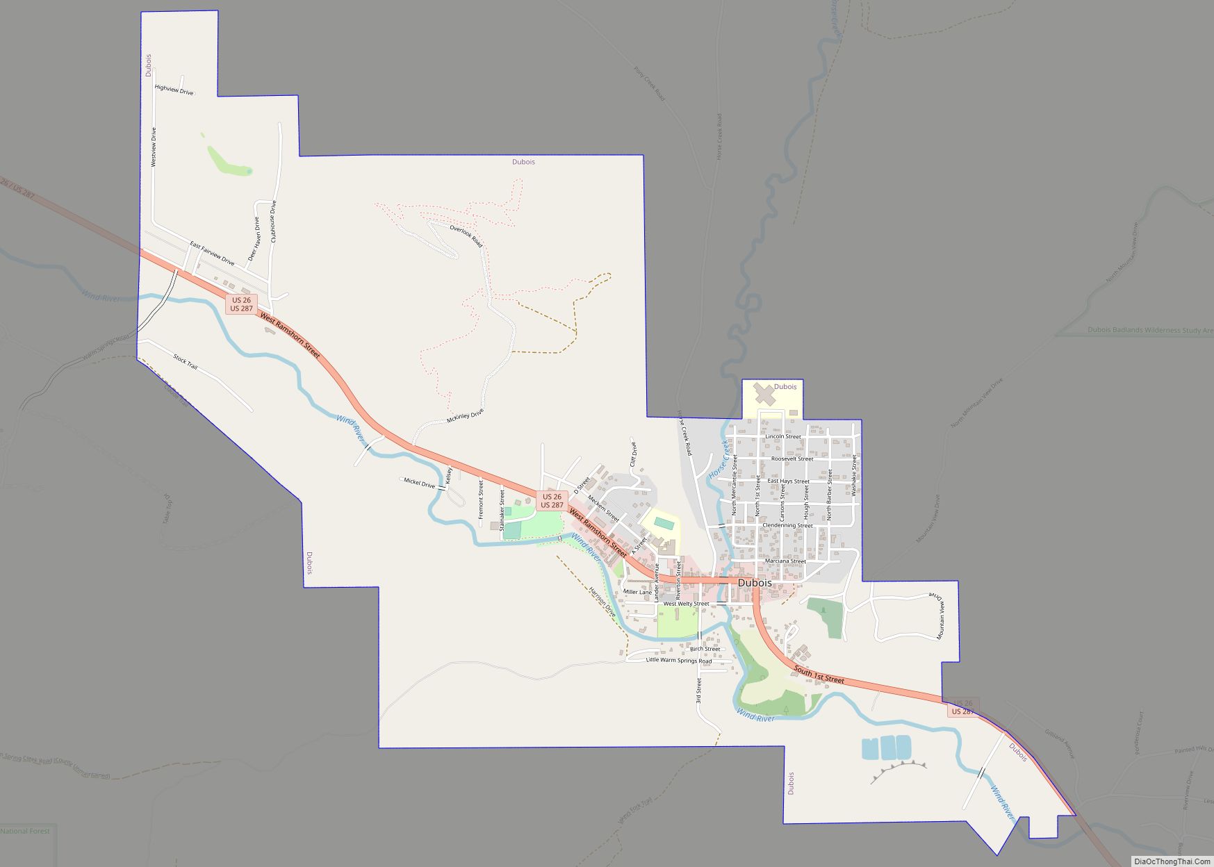
Lander Road Map
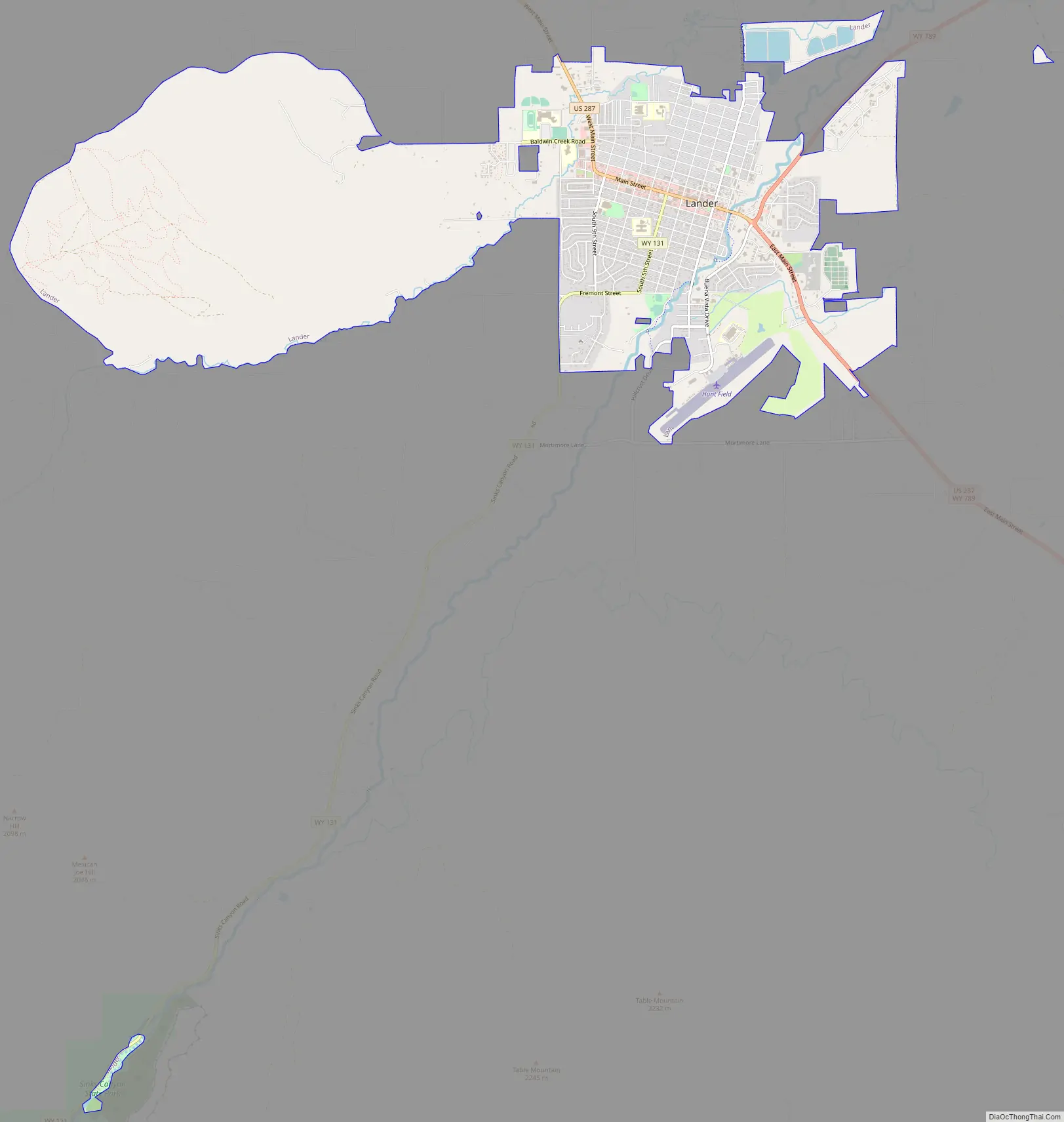
Lander city Satellite Map

Geography
According to the United States Census Bureau, the city has a total area of 4.67 square miles (12.10 km), all land.
Sinks Canyon in the Wind River Range is close to Lander. Elk migrate out of the Wind River Mountains into the lowlands near Lander, arriving in early winter and frequently staying at least through calving season in the spring.
Climate
According to the Köppen Climate Classification system, Lander has a warm-summer humid continental climate, abbreviated “Dfb” on climate maps. The hottest temperature recorded in Lander was 102 °F (39 °C) on July 27, 1935, while the coldest temperature recorded was −40 °F (−40 °C) on December 19, 1924 and February 8, 1936.
See also
Map of Wyoming State and its subdivision: Map of other states:- Alabama
- Alaska
- Arizona
- Arkansas
- California
- Colorado
- Connecticut
- Delaware
- District of Columbia
- Florida
- Georgia
- Hawaii
- Idaho
- Illinois
- Indiana
- Iowa
- Kansas
- Kentucky
- Louisiana
- Maine
- Maryland
- Massachusetts
- Michigan
- Minnesota
- Mississippi
- Missouri
- Montana
- Nebraska
- Nevada
- New Hampshire
- New Jersey
- New Mexico
- New York
- North Carolina
- North Dakota
- Ohio
- Oklahoma
- Oregon
- Pennsylvania
- Rhode Island
- South Carolina
- South Dakota
- Tennessee
- Texas
- Utah
- Vermont
- Virginia
- Washington
- West Virginia
- Wisconsin
- Wyoming