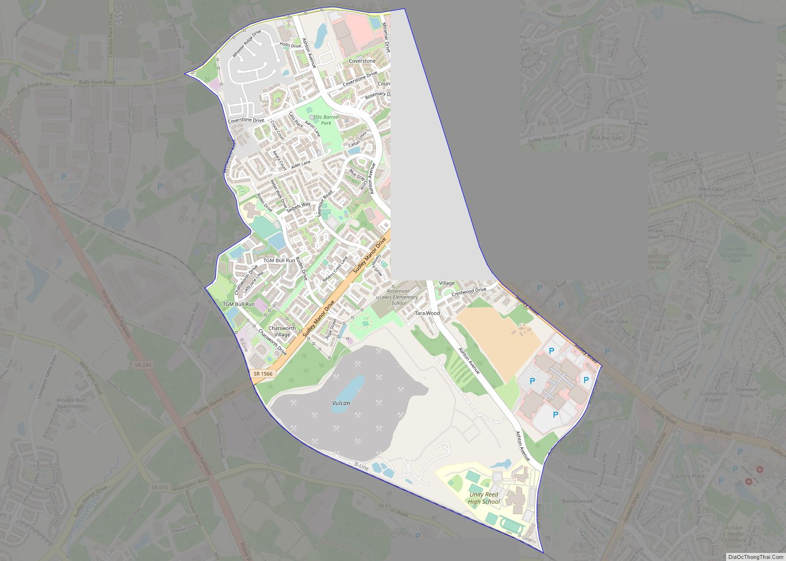
Bull Run is a census-designated place (CDP) in Prince William County, Virginia. The population was 14,983 at the 2010 census. Bull Run CDP overview: Name: Bull Run CDP LSAD Code: 57 LSAD Description: CDP (suffix) State: Virginia County: Prince William County Elevation: 285 ft (87 m) Total Area: 2.7 sq mi (6.9 km²) Land Area: 2.7 sq mi (6.9 km²) Water Area: 0.0 sq mi ... Read more
Map of US Cities and Places
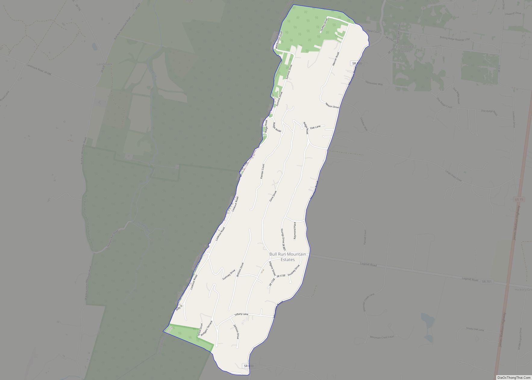
Bull Run Mountain Estates is a census-designated place in Prince William County, Virginia. The population as of the 2010 Census was 1,261. It is located along the east slope of the Bull Run Mountains, between Haymarket and Aldie. Bull Run Mountain Estates CDP overview: Name: Bull Run Mountain Estates CDP LSAD Code: 57 LSAD Description: ... Read more
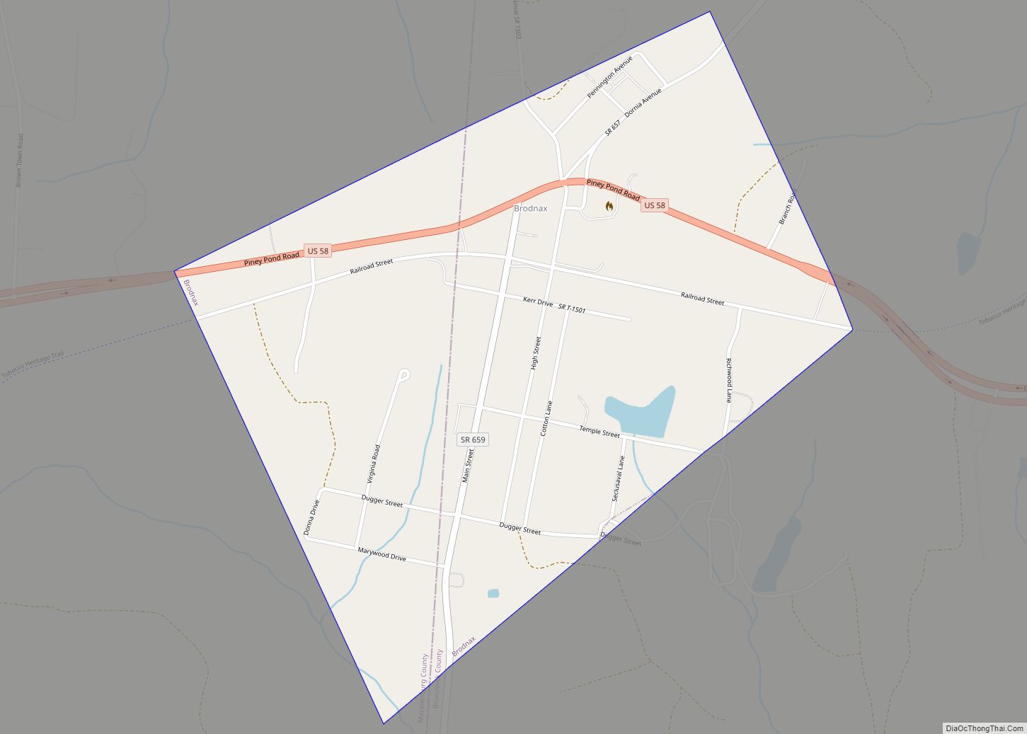
Brodnax is a town in Brunswick and Mecklenburg counties in the U.S. state of Virginia. The population was 298 at the 2010 census. Brodnax town overview: Name: Brodnax town LSAD Code: 43 LSAD Description: town (suffix) State: Virginia County: Brunswick County, Mecklenburg County Elevation: 410 ft (125 m) Total Area: 0.71 sq mi (1.84 km²) Land Area: 0.70 sq mi (1.83 km²) Water ... Read more
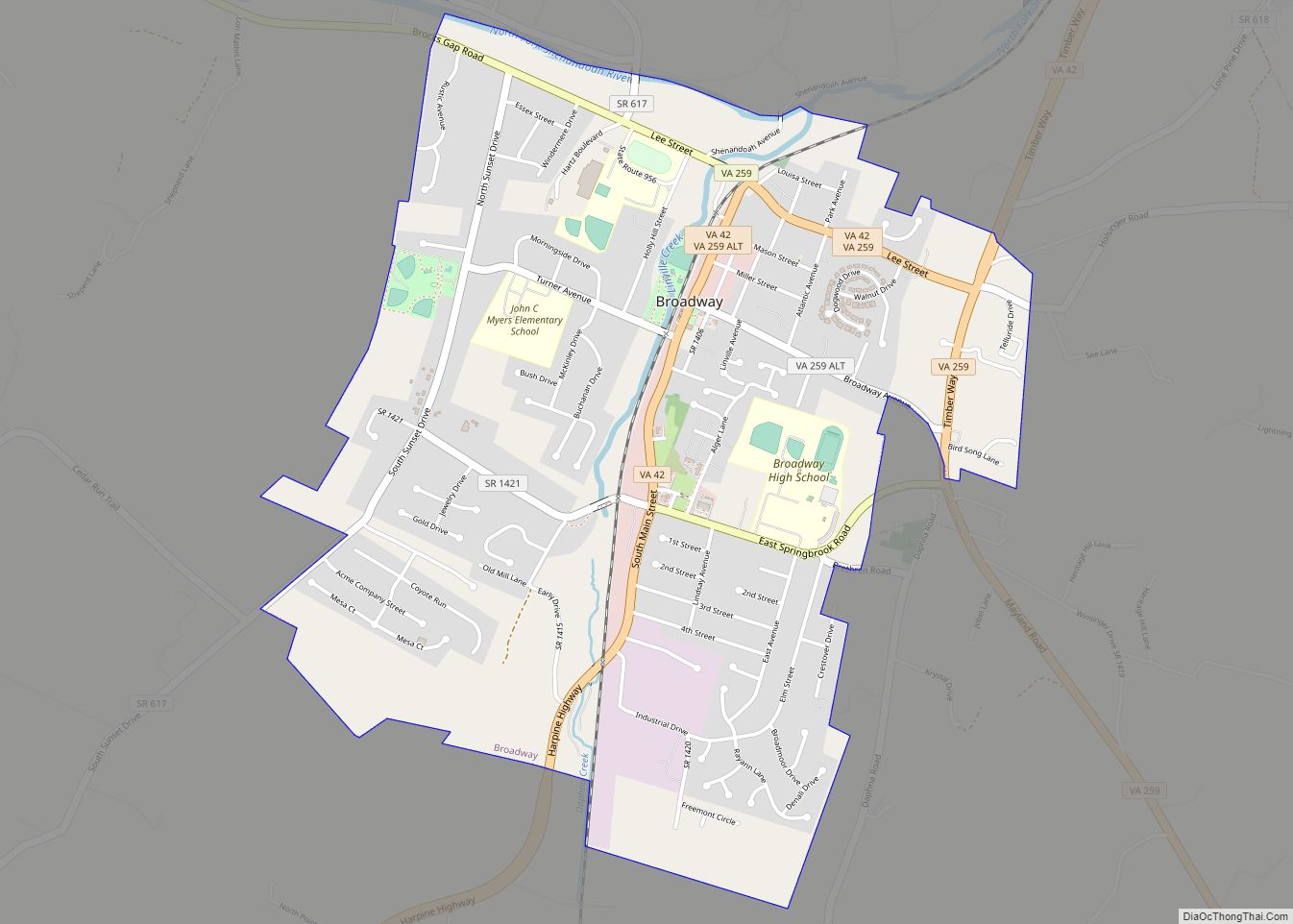
Broadway is a town in Rockingham County, Virginia, United States. The population was 3,691 at the 2010 census. It is included in the Harrisonburg Metropolitan Statistical Area. Broadway town overview: Name: Broadway town LSAD Code: 43 LSAD Description: town (suffix) State: Virginia County: Rockingham County Elevation: 1,043 ft (318 m) Total Area: 2.40 sq mi (6.22 km²) Land Area: 2.38 sq mi ... Read more
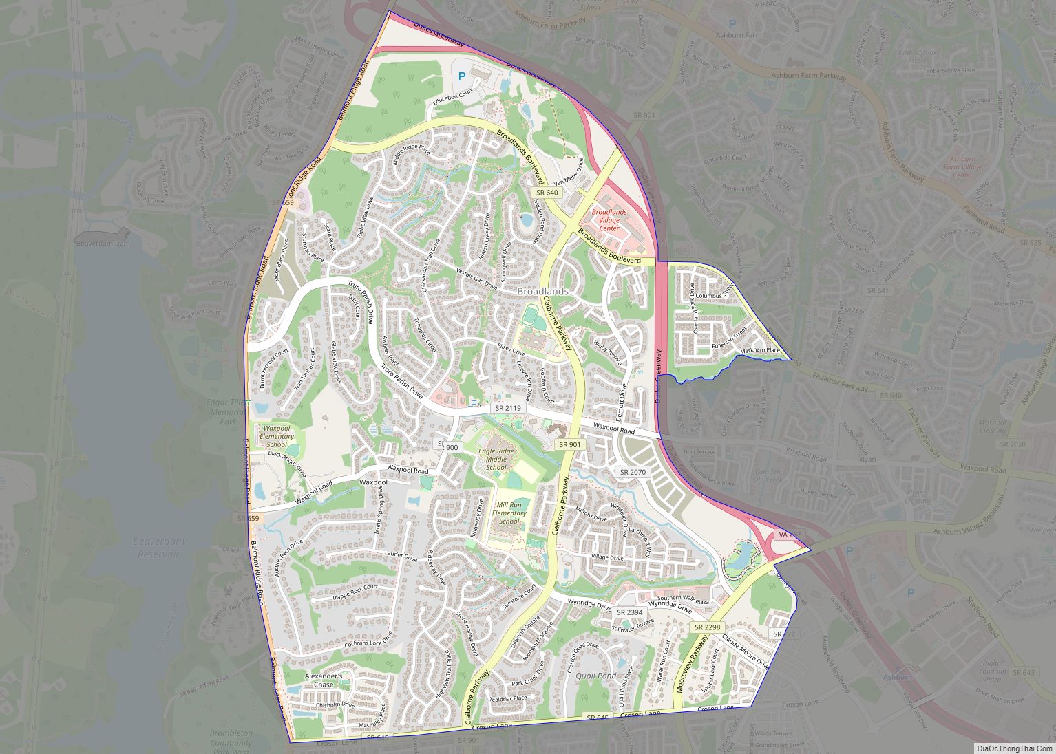
Broadlands is a census-designated place (CDP) in Loudoun County, Virginia, United States. It is a 1,500-acre (610 ha) master-planned community started and developed by Van Metre Homes in the 1990s. It is built on wetlands and is certified as a Community Wildlife Habitat by the National Wildlife Federation. The population as of the 2010 Census was ... Read more
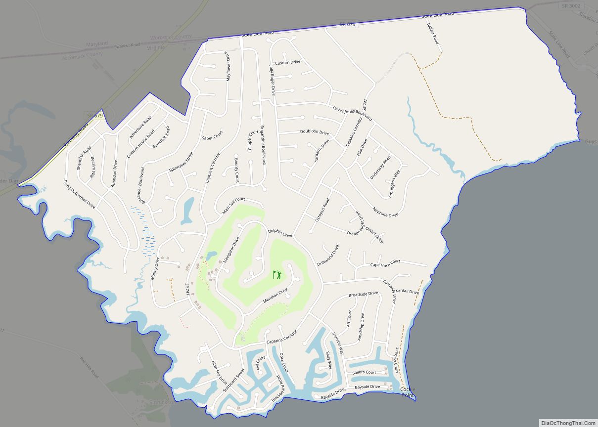
Captains Cove is a census-designated place in Accomack County, Virginia. Per the 2020 census, the population was 1,544. Known as Captain’s Cove Golf & Yacht Club, it is a recreational community located on the west shore of Chincoteague Bay, bordering Maryland to the north. While numerous families with children live here, it’s largely a retirement ... Read more
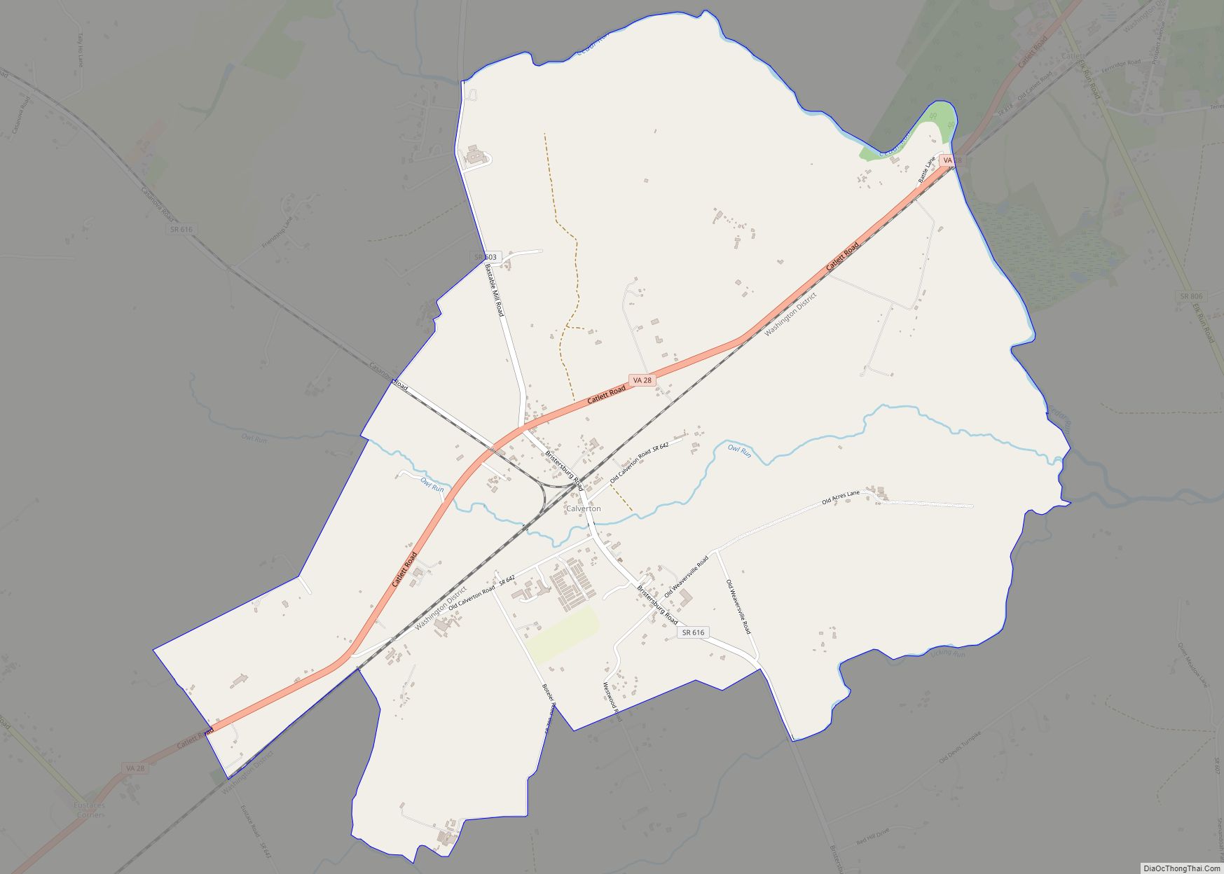
Calverton is an unincorporated community and census-designated place (CDP) in Fauquier County, Virginia, United States. The population as of the 2010 census was 239. The village runs along Virginia State Route 28 and its crossroad, Bristersburg Road. Calverton has a Southern States store, a small country store, and post office. Its ZIP code is 20138. ... Read more
Burke is an unincorporated section of Fairfax County, Virginia, United States, traditionally defined as the area served by the Burke post office (Zip Code 22015). Burke includes two census-designated places: the Burke CDP, population 42,312 in 2020 and the Burke Centre CDP, population 17,518 in 2020. Burke CDP overview: Name: Burke CDP LSAD Code: 57 ... Read more
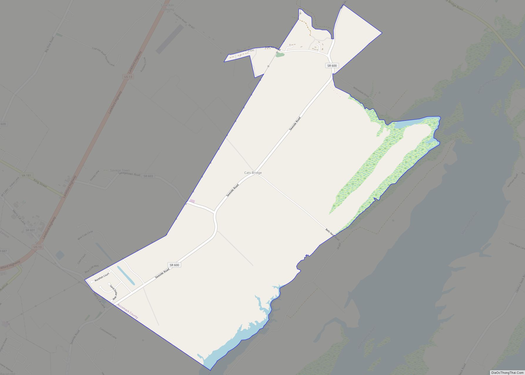
Cats Bridge is a census-designated place (CDP) in Accomack County, Virginia, United States. Per the 2020 census, the population was 184. Cats Bridge CDP overview: Name: Cats Bridge CDP LSAD Code: 57 LSAD Description: CDP (suffix) State: Virginia County: Accomack County Elevation: 3 m (10 ft) Total Area: 184 FIPS code: 5113635 GNISfeature ID: 2584827 Online Interactive ... Read more
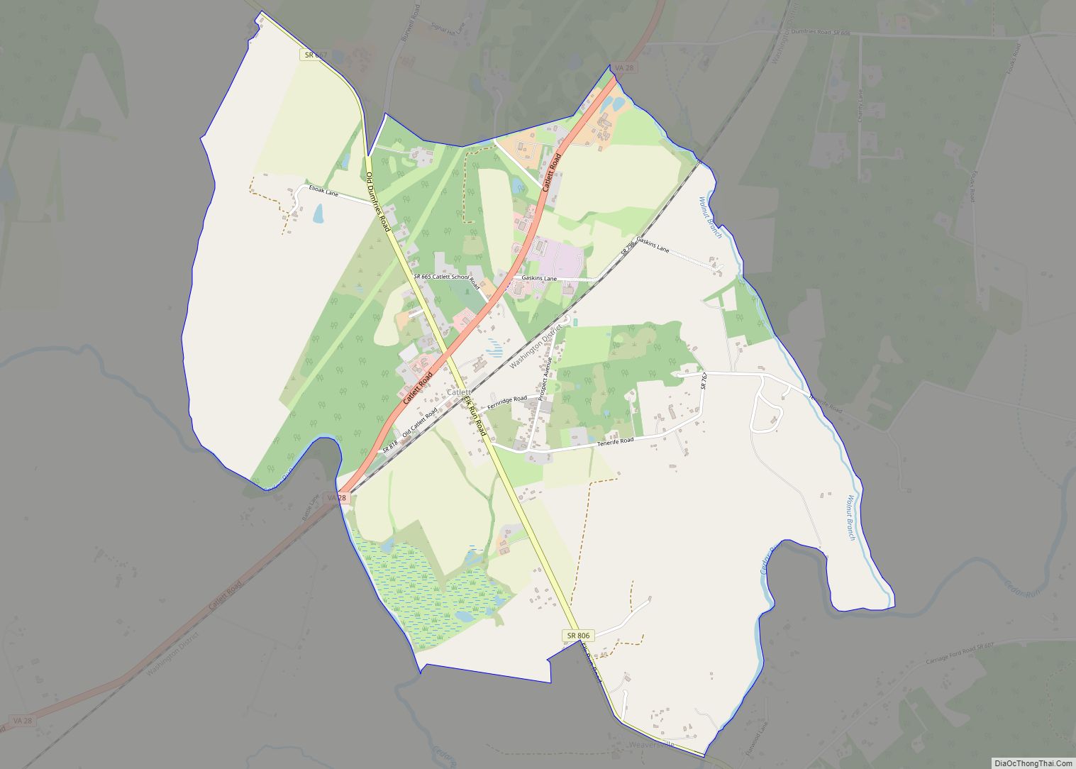
Catlett is a census-designated place (CDP) in Fauquier County, Virginia, United States. The population as of the 2010 census was 297. It is located west of the Prince William County line. Catlett was formerly a rail stop on the Orange and Alexandria Railroad, and the area was the site of many raids on the railroad ... Read more
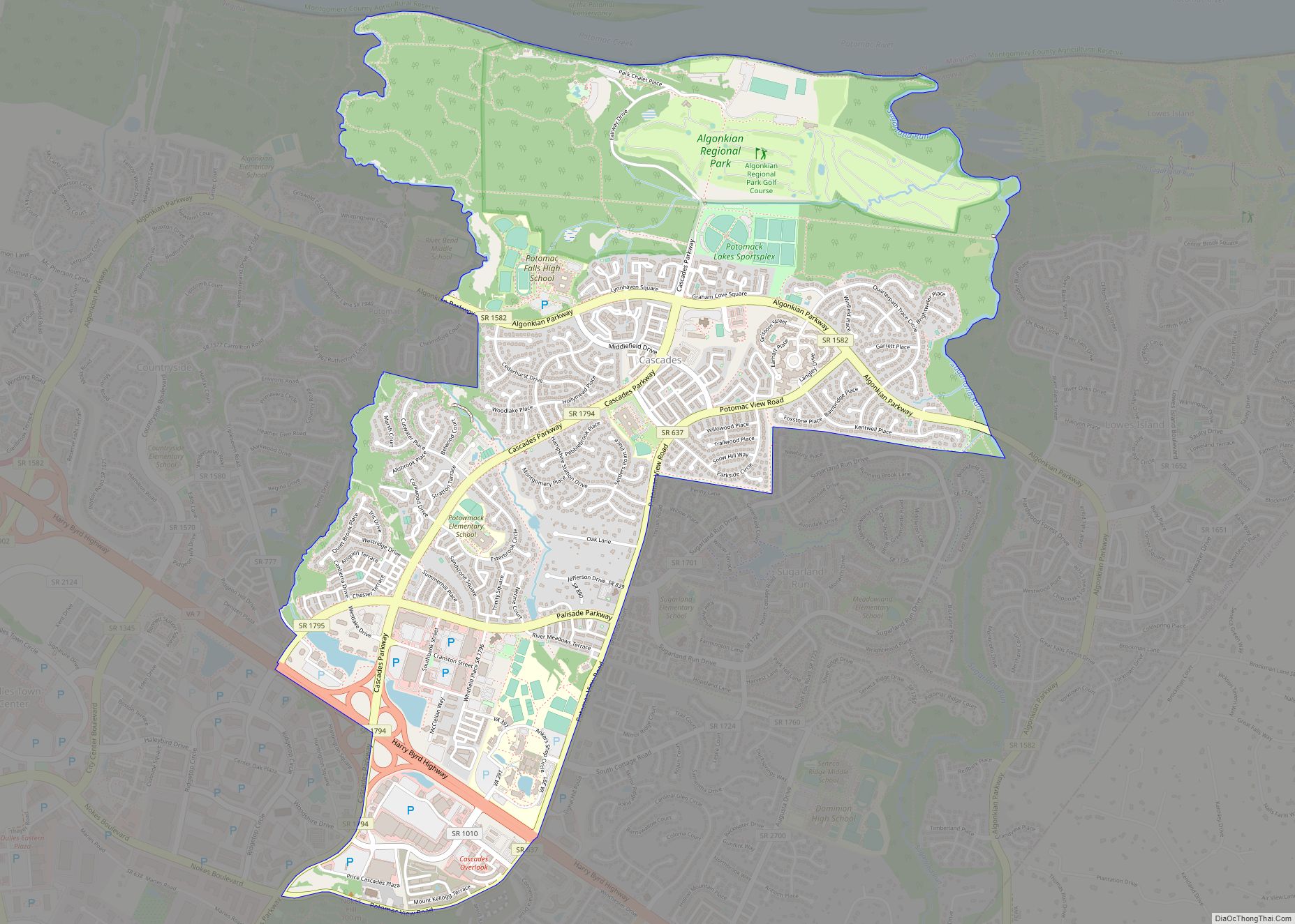
Cascades is a census-designated place (CDP) in Loudoun County, Virginia, United States. The population as of the 2010 United States Census was 11,912. Along with nearby Countryside and Lowes Island, it is considered one of the three main components of the Potomac Falls community (ZIP code 20165) within Sterling, Virginia. Cascades is a planned community ... Read more
Centreville is a census-designated place (CDP) in Fairfax County, Virginia, United States and a suburb of Washington, D.C. The population was 73,518 as of the 2020 census. Centreville is approximately 20 miles (32 km) west of Washington, D.C. Centreville CDP overview: Name: Centreville CDP LSAD Code: 57 LSAD Description: CDP (suffix) State: Virginia County: Fairfax County ... Read more
