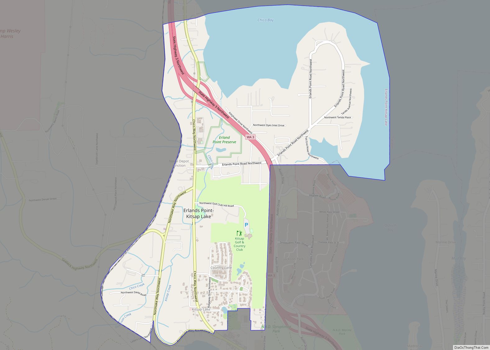
Erlands Point-Kitsap Lake is an unincorporated area and former census-designated place (CDP) in Kitsap County, Washington, United States. The population was 2,935 at the 2010 census. For the 2020 census, the area was split into two CDPs, Erlands Point and Kitsap Lake. Based on per capita income, one of the more reliable measures of affluence, ... Read more
Map of US Cities and Places
Farmington town overview: Name: Farmington town LSAD Code: 43 LSAD Description: town (suffix) State: Washington County: Whitman County FIPS code: 5323340 Online Interactive Map Farmington online map. Source: Basemap layers from Google Map, Open Street Map (OSM), Arcgisonline, Wmflabs. Boundary Data from Database of Global Administrative Areas. Farmington location map. Where is Farmington town? Farmington ... Read more
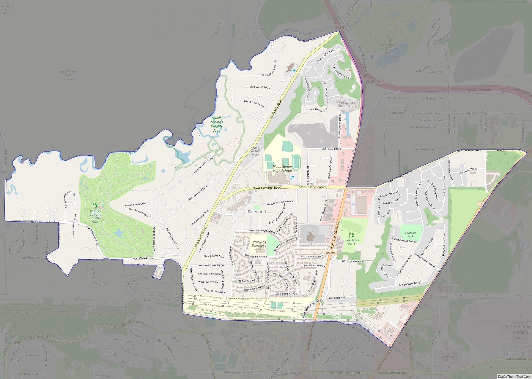
Fairwood CDP overview: Name: Fairwood CDP LSAD Code: 57 LSAD Description: CDP (suffix) State: Washington County: Spokane County FIPS code: 5323165 Online Interactive Map Fairwood online map. Source: Basemap layers from Google Map, Open Street Map (OSM), Arcgisonline, Wmflabs. Boundary Data from Database of Global Administrative Areas. Fairwood location map. Where is Fairwood CDP? Fairwood ... Read more
Fairfield town overview: Name: Fairfield town LSAD Code: 43 LSAD Description: town (suffix) State: Washington County: Spokane County FIPS code: 5322990 Online Interactive Map Fairfield online map. Source: Basemap layers from Google Map, Open Street Map (OSM), Arcgisonline, Wmflabs. Boundary Data from Database of Global Administrative Areas. Fairfield location map. Where is Fairfield town? Fairfield ... Read more
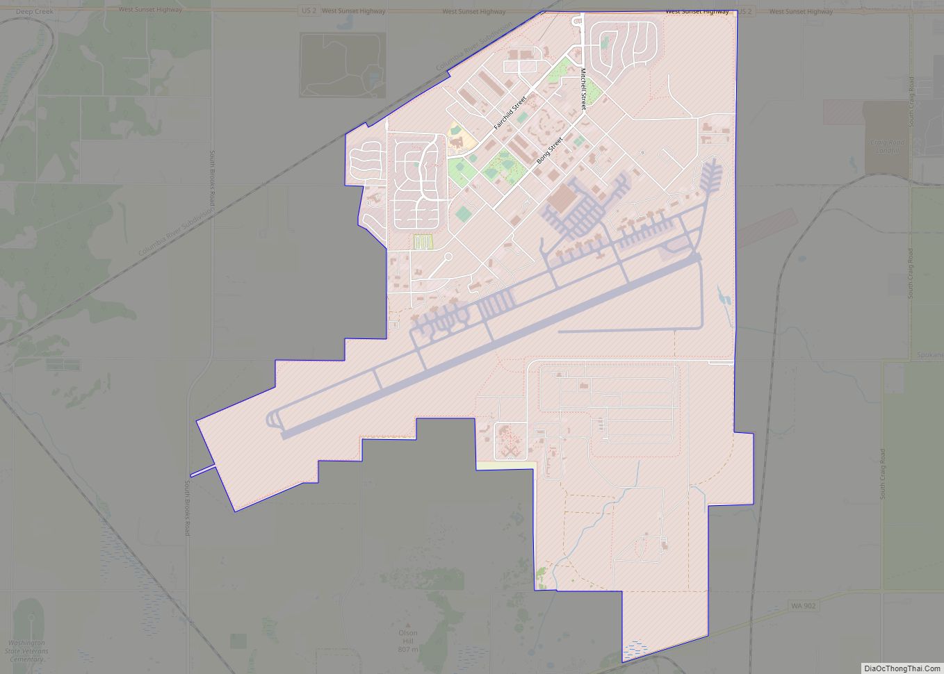
Fairchild AFB CDP overview: Name: Fairchild AFB CDP LSAD Code: 57 LSAD Description: CDP (suffix) State: Washington County: Spokane County FIPS code: 5322955 Online Interactive Map Fairchild AFB online map. Source: Basemap layers from Google Map, Open Street Map (OSM), Arcgisonline, Wmflabs. Boundary Data from Database of Global Administrative Areas. Fairchild AFB location map. Where ... Read more
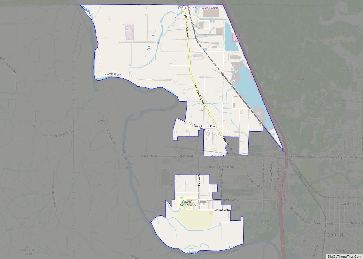
Fords Prairie is an unincorporated community and census-designated place (CDP) in Lewis County, Washington, United States. The population was 2,234 at the 2020 census. Fords Prairie CDP overview: Name: Fords Prairie CDP LSAD Code: 57 LSAD Description: CDP (suffix) State: Washington County: Lewis County Elevation: 177 ft (54 m) Total Area: 3.85 sq mi (9.98 km²) Land Area: 3.73 sq mi (9.65 km²) ... Read more
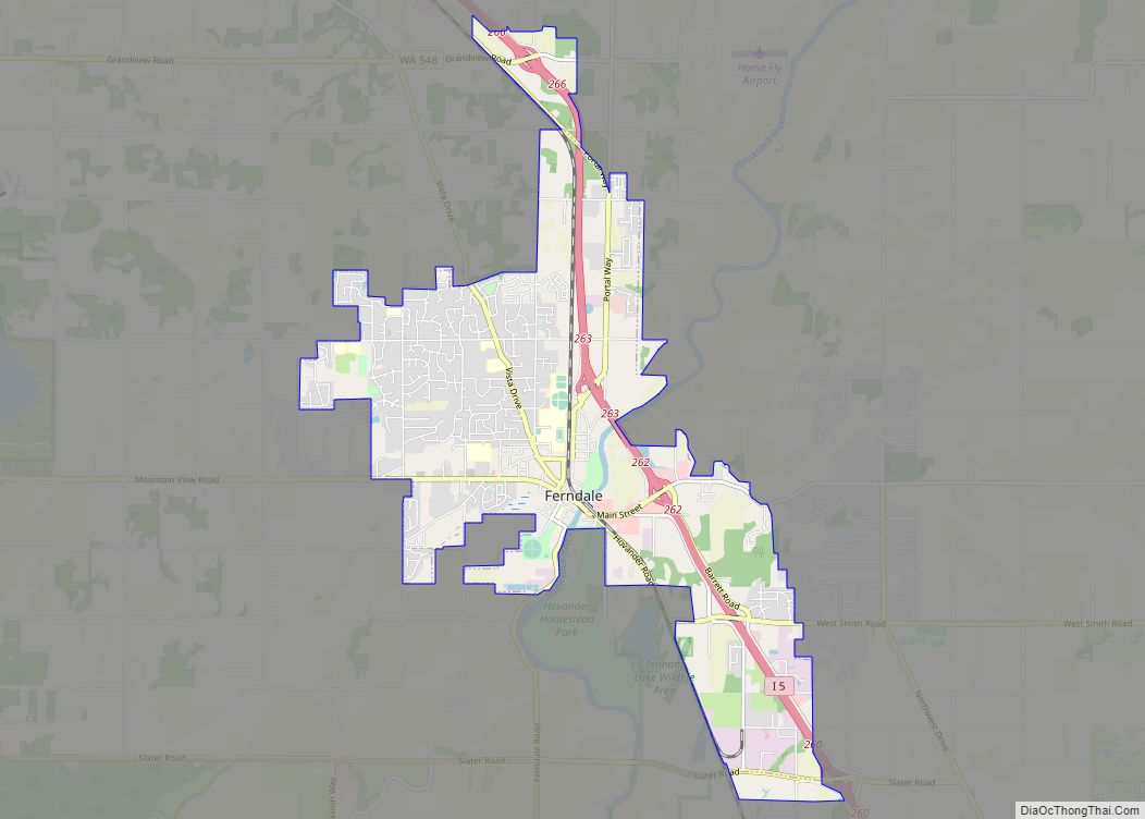
Ferndale is a city in Whatcom County, Washington, United States. The population was 11,415 at the 2010 census. It is the third largest city in Whatcom County and located near the Lummi Nation. Ferndale city overview: Name: Ferndale city LSAD Code: 25 LSAD Description: city (suffix) State: Washington County: Whatcom County Elevation: 36 ft (11 m) Total ... Read more
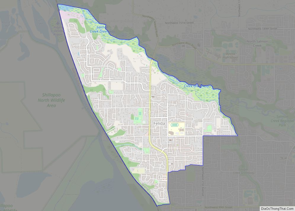
Felida is a census-designated place (CDP) in Clark County, Washington, United States. The population was 9,526 at the 2020 census. A post office called Felida was established in 1890, and remained in operation until 1906. The community derives its name from Felidae, the family of cats. Felida CDP overview: Name: Felida CDP LSAD Code: 57 ... Read more
Geneva is an unincorporated area and census-designated place (CDP) in Whatcom County, Washington, United States. The population was 2,321 at the 2010 census. Based on per capita income, Geneva ranks 85th of 522 areas in the state of Washington to be ranked. It is also the highest rank achieved in Whatcom County. Geneva CDP overview: ... Read more
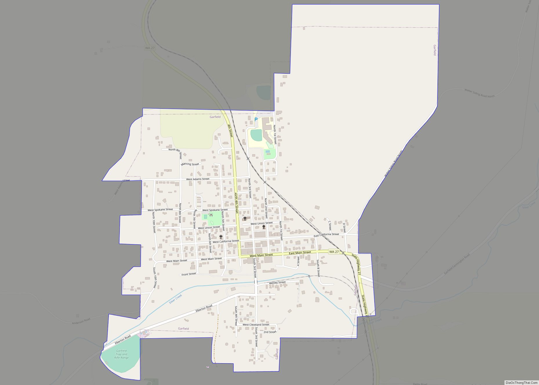
Garfield town overview: Name: Garfield town LSAD Code: 43 LSAD Description: town (suffix) State: Washington County: Whitman County FIPS code: 5326140 Online Interactive Map Garfield online map. Source: Basemap layers from Google Map, Open Street Map (OSM), Arcgisonline, Wmflabs. Boundary Data from Database of Global Administrative Areas. Garfield location map. Where is Garfield town? Garfield ... Read more
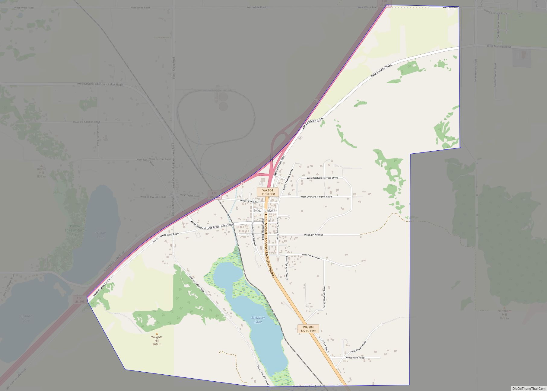
Four Lakes is an unincorporated community and census-designated place in Spokane County, Washington, United States, just southwest of the city of Spokane, and north of Cheney. As of the 2010 census, its population was 512. Both Interstate 90 and SR 904 run through Four Lakes and the junction of the two is located near the ... Read more
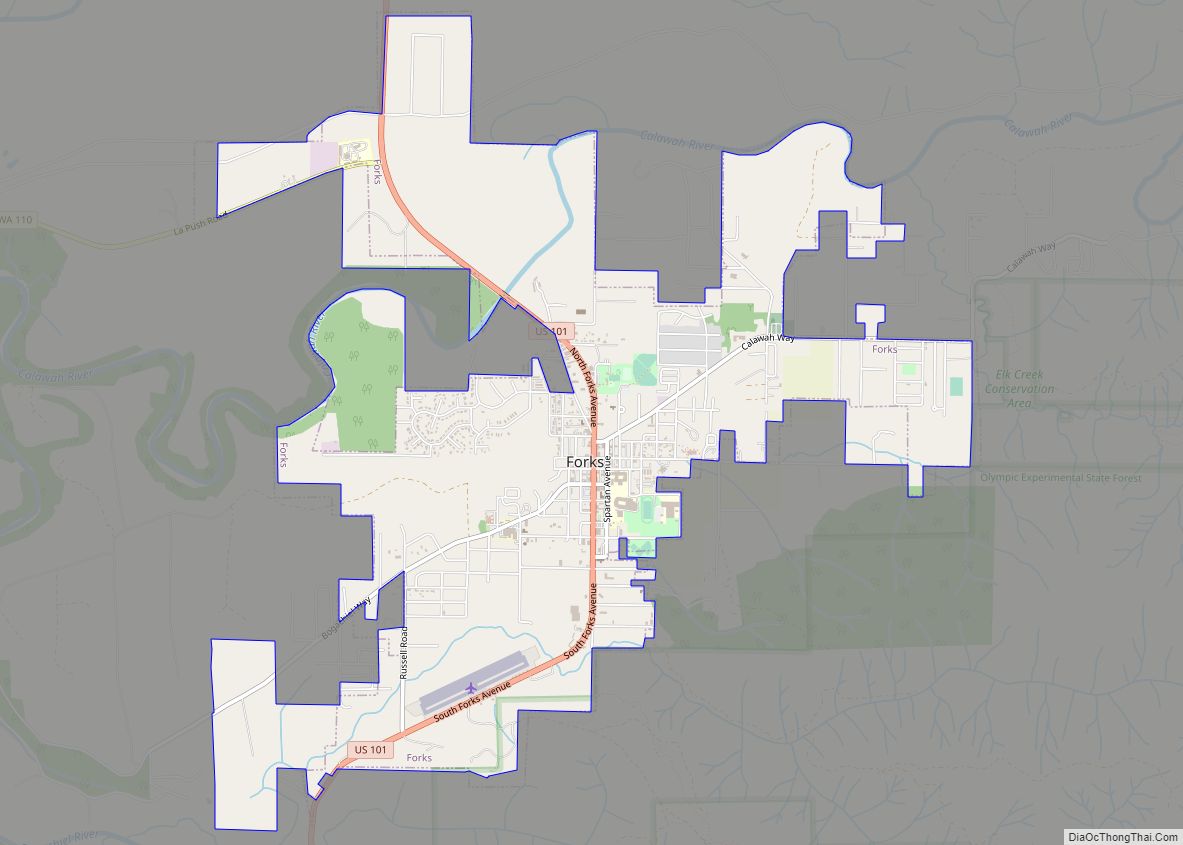
Forks, also previously known as the unincorporated town of Quillayute, is a city in southwest Clallam County, Washington, United States. The population was 3,335 at the 2020 census. It is named after the forks in the nearby Quillayute, Bogachiel, Calawah, and Sol Duc rivers. For many years, the city’s economy was fueled by the local ... Read more
