Felida is a census-designated place (CDP) in Clark County, Washington, United States. The population was 9,526 at the 2020 census.
A post office called Felida was established in 1890, and remained in operation until 1906. The community derives its name from Felidae, the family of cats.
| Name: | Felida CDP |
|---|---|
| LSAD Code: | 57 |
| LSAD Description: | CDP (suffix) |
| State: | Washington |
| County: | Clark County |
| Elevation: | 213 ft (65 m) |
| Total Area: | 3.0 sq mi (7.8 km²) |
| Land Area: | 2.9 sq mi (7.5 km²) |
| Water Area: | 0.2 sq mi (0.4 km²) |
| Total Population: | 9,526 |
| Population Density: | 2,560/sq mi (988.6/km²) |
| FIPS code: | 5323550 |
| GNISfeature ID: | 1504845 |
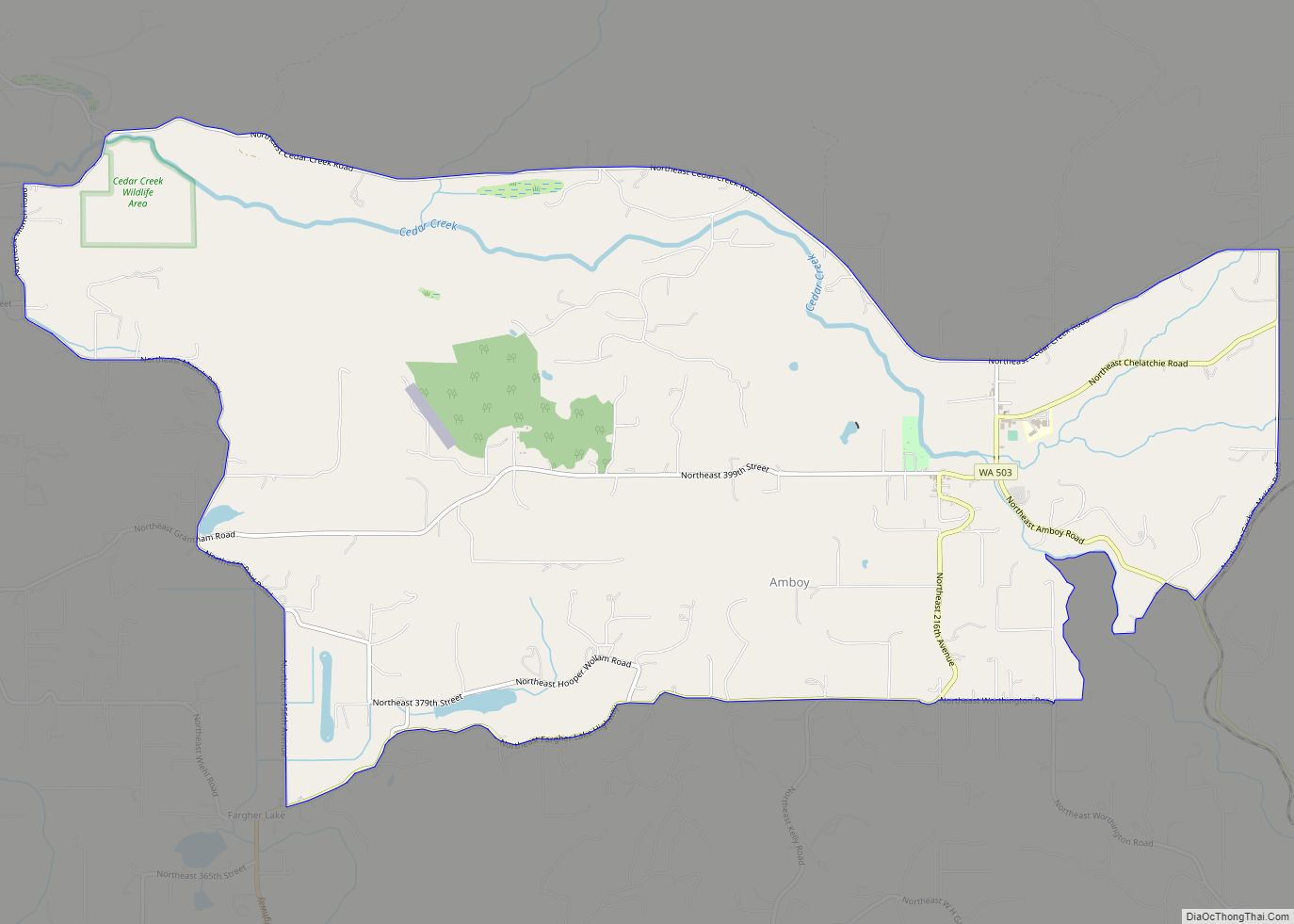
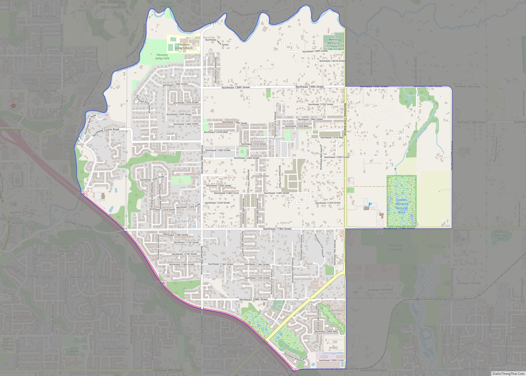
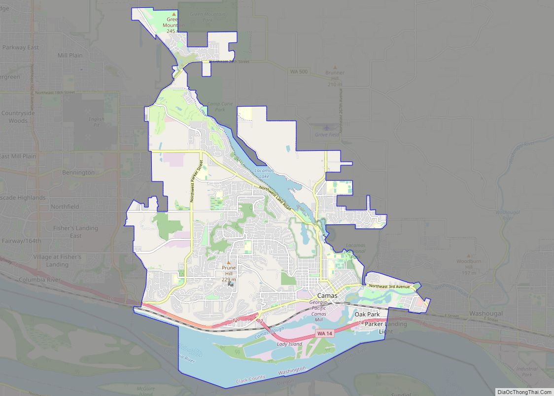
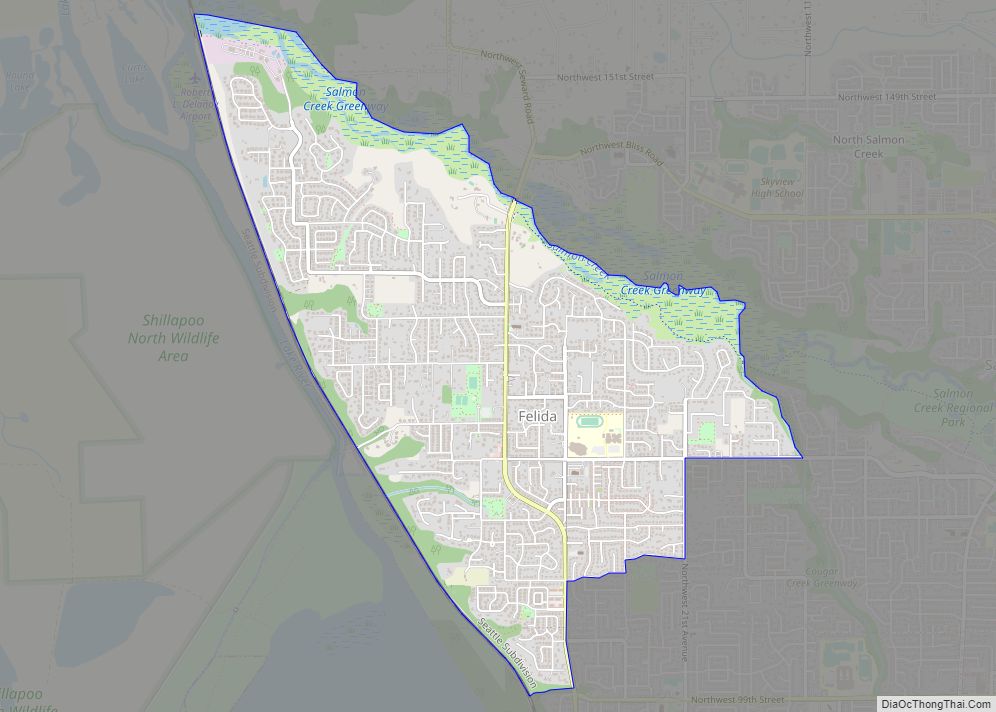
Online Interactive Map
Click on ![]() to view map in "full screen" mode.
to view map in "full screen" mode.
Felida location map. Where is Felida CDP?


History
A post office was established for the area northeast of Vancouver Lake, in 1890. While deciding what to name the post office, the first postmaster, Marian E. McIrvin, wanted it to be named Lakeview, but postal authorities informed him that there was already a place in Washington state named Lakeview. McIrvin’s father-in-law suggested Felida for the name, and the name stuck.
Other people believe that the post office was suggested the name Powley, after a local resident. The post office didn’t want that name, and suggested it should be named Polly instead. C.C. Lewis, the current postmaster, thought that Polly was a name for a parrot, and that it should actually be named for his cat, Thomas. He submitted the names, Thomas, Tomcat, and Felidae. The post office thought that Felida would be a nice name, and took it.
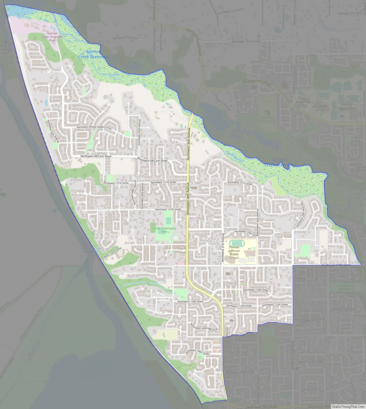
Felida Road Map
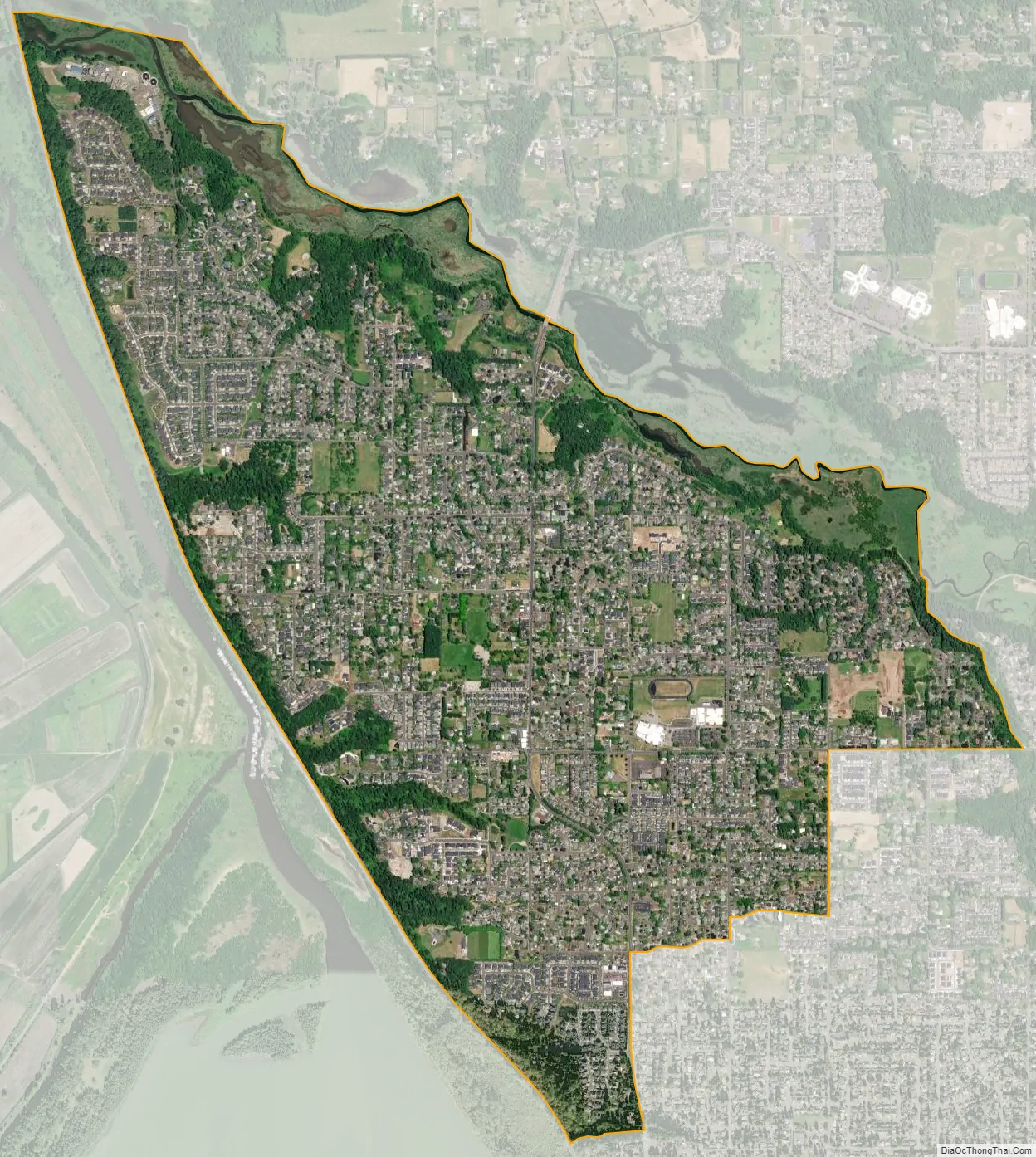
Felida city Satellite Map
Geography
Felida is located in southwestern Clark County at 45°42′35″N 122°42′19″W / 45.70972°N 122.70528°W / 45.70972; -122.70528 (45.709848, -122.705373). It is 7 miles (11 km) north of downtown Vancouver and is bordered by the communities of Salmon Creek (to the east) and Lake Shore (to the south).
According to the United States Census Bureau, the Felida CDP has a total area of 3.0 square miles (7.8 km), of which 2.9 square miles (7.5 km) is land and 0.2 square miles (0.4 km), or 4.74%, is water.
See also
Map of Washington State and its subdivision:- Adams
- Asotin
- Benton
- Chelan
- Clallam
- Clark
- Columbia
- Cowlitz
- Douglas
- Ferry
- Franklin
- Garfield
- Grant
- Grays Harbor
- Island
- Jefferson
- King
- Kitsap
- Kittitas
- Klickitat
- Lewis
- Lincoln
- Mason
- Okanogan
- Pacific
- Pend Oreille
- Pierce
- San Juan
- Skagit
- Skamania
- Snohomish
- Spokane
- Stevens
- Thurston
- Wahkiakum
- Walla Walla
- Whatcom
- Whitman
- Yakima
- Alabama
- Alaska
- Arizona
- Arkansas
- California
- Colorado
- Connecticut
- Delaware
- District of Columbia
- Florida
- Georgia
- Hawaii
- Idaho
- Illinois
- Indiana
- Iowa
- Kansas
- Kentucky
- Louisiana
- Maine
- Maryland
- Massachusetts
- Michigan
- Minnesota
- Mississippi
- Missouri
- Montana
- Nebraska
- Nevada
- New Hampshire
- New Jersey
- New Mexico
- New York
- North Carolina
- North Dakota
- Ohio
- Oklahoma
- Oregon
- Pennsylvania
- Rhode Island
- South Carolina
- South Dakota
- Tennessee
- Texas
- Utah
- Vermont
- Virginia
- Washington
- West Virginia
- Wisconsin
- Wyoming