Bristol is a village in Kenosha County, Wisconsin, United States. It was incorporated in 2009 from portions of the Town of Bristol. The population was 5,192 at the 2020 census, more than double the 2010 census population of 2,584. The former unincorporated communities of Bissell, Cypress, Pikeville, and Woodworth are located in the village. Bristol ... Read more
Map of US Cities and Places
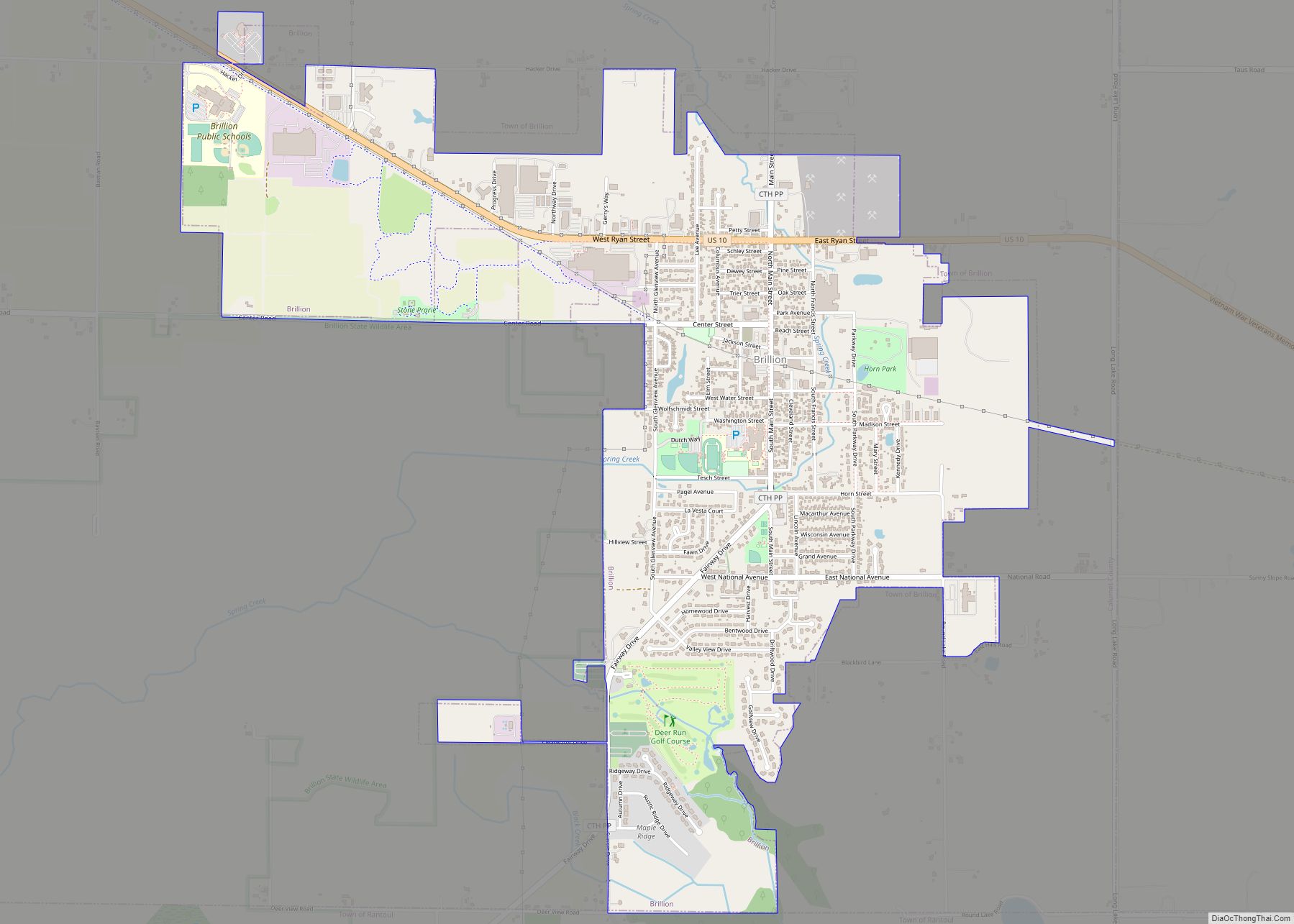
Brillion is a city in Calumet County in the U.S. state of Wisconsin. The population was 3,327 as of July 1, 2019. The city is located within the Town of Brillion, though it is politically independent. Brillion city overview: Name: Brillion city LSAD Code: 25 LSAD Description: city (suffix) State: Wisconsin County: Calumet County Elevation: ... Read more
Butler is a village in Waukesha County, Wisconsin, United States. The population was 1,787 at the 2020 census. Butler village overview: Name: Butler village LSAD Code: 47 LSAD Description: village (suffix) State: Wisconsin County: Waukesha County Total Area: 0.79 sq mi (2.05 km²) Land Area: 0.78 sq mi (2.02 km²) Water Area: 0.01 sq mi (0.03 km²) Total Population: 1,787 Population Density: 2,302.18/sq mi (888.78/km²) ... Read more
Brandon is a village in Fond du Lac County, Wisconsin, United States. The population was 879 at the 2010 census. Brandon village overview: Name: Brandon village LSAD Code: 47 LSAD Description: village (suffix) State: Wisconsin County: Fond du Lac County Elevation: 1,001 ft (305 m) Total Area: 0.76 sq mi (1.98 km²) Land Area: 0.76 sq mi (1.96 km²) Water Area: 0.01 sq mi (0.02 km²) ... Read more
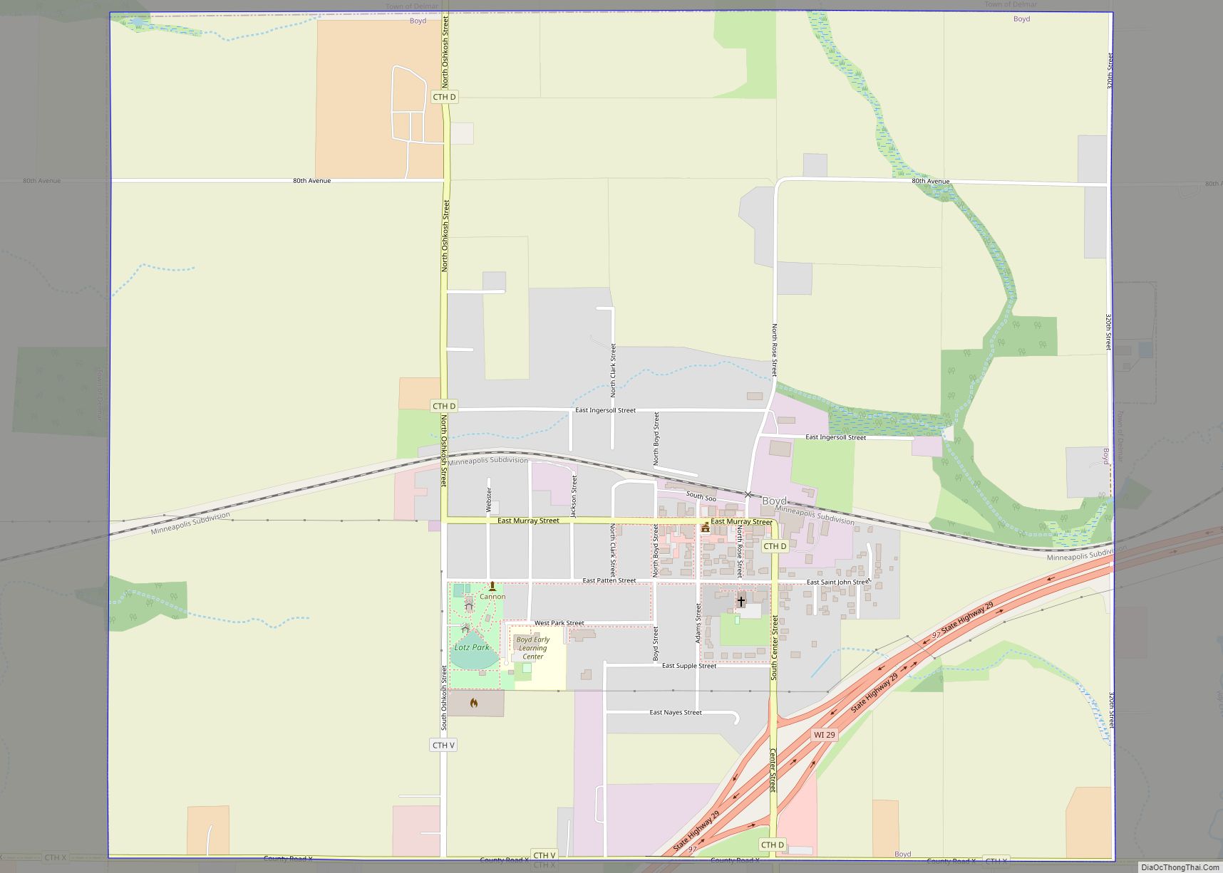
Boyd is an autonomous village in the town of Delmar, Chippewa County, Wisconsin, United States. The population was 552 at the 2010 census. Boyd village overview: Name: Boyd village LSAD Code: 47 LSAD Description: village (suffix) State: Wisconsin County: Chippewa County Elevation: 1,109 ft (338 m) Total Area: 1.85 sq mi (4.80 km²) Land Area: 1.85 sq mi (4.80 km²) Water Area: 0.00 sq mi ... Read more
Burlington is a city in Racine and Walworth counties in the U.S. state of Wisconsin, with the majority of the city located in Racine County. The population of the city was 11,047 as of the 2020 census. Burlington city overview: Name: Burlington city LSAD Code: 25 LSAD Description: city (suffix) State: Wisconsin County: Racine County, ... Read more
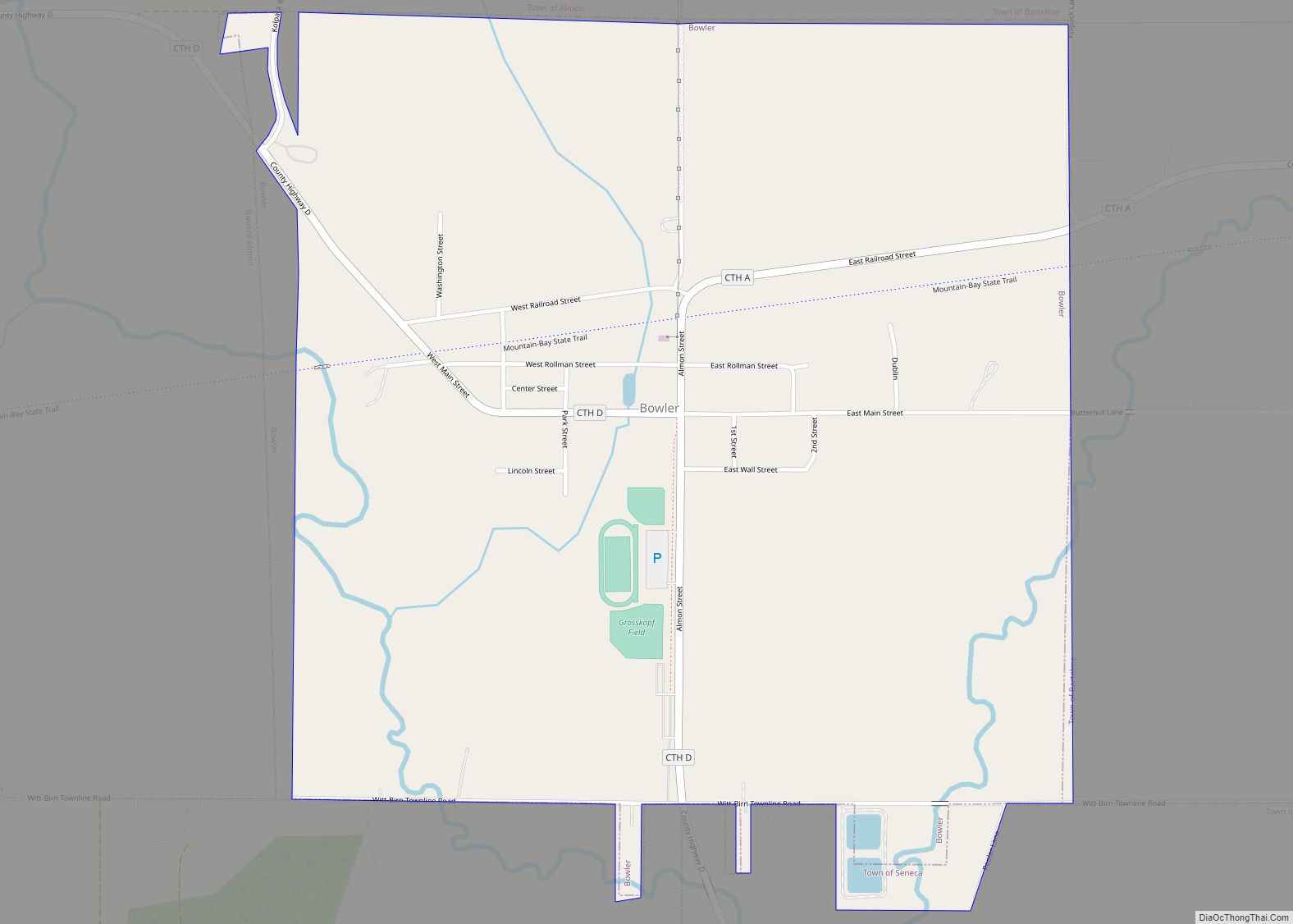
Bowler is a village in Shawano County, Wisconsin, United States. The population was 302 at the 2010 census. Bowler village overview: Name: Bowler village LSAD Code: 47 LSAD Description: village (suffix) State: Wisconsin County: Shawano County Elevation: 1,073 ft (327 m) Total Area: 1.04 sq mi (2.69 km²) Land Area: 1.04 sq mi (2.69 km²) Water Area: 0.00 sq mi (0.00 km²) Total Population: 302 Population ... Read more
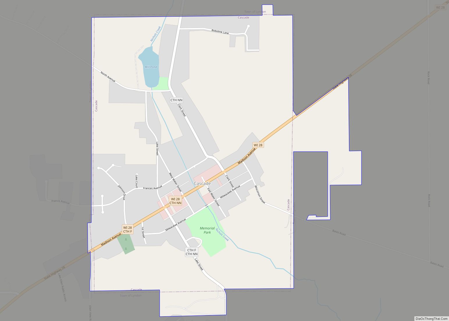
Cascade is a village in Sheboygan County, Wisconsin, United States. The population was 709 at the 2010 census. It is included in the Sheboygan, Wisconsin Metropolitan Statistical Area. Wisconsin Highway 28 passes through Cascade. Cascade village overview: Name: Cascade village LSAD Code: 47 LSAD Description: village (suffix) State: Wisconsin County: Sheboygan County Elevation: 869 ft (265 m) ... Read more
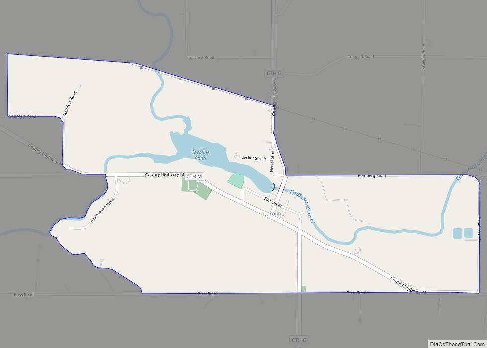
Caroline is an unincorporated census-designated place in the town of Grant in Shawano County, Wisconsin, United States. As of the 2010 census, its population is 270. The fire station for the town is located within the community. The community is located at the intersection of County Highways G & M between Marion and Tilleda. Caroline ... Read more
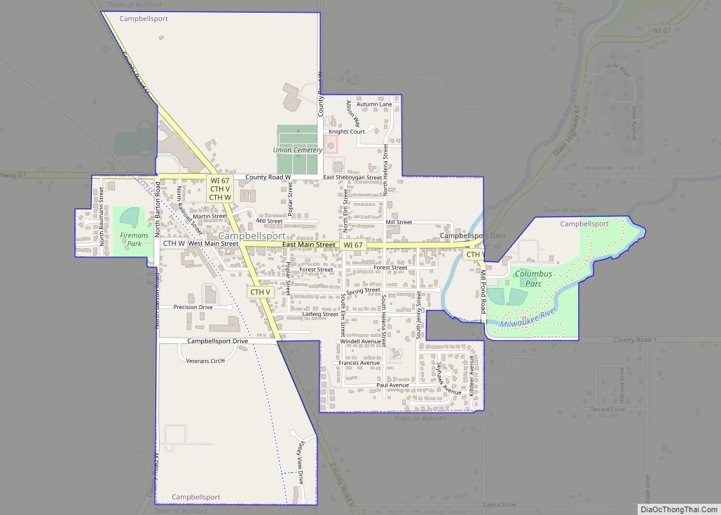
Campbellsport is a village in Fond du Lac County, Wisconsin, United States. The population was 2,016 at the 2010 census. Campbellsport village overview: Name: Campbellsport village LSAD Code: 47 LSAD Description: village (suffix) State: Wisconsin County: Fond du Lac County Elevation: 1,027 ft (313 m) Total Area: 1.36 sq mi (3.51 km²) Land Area: 1.33 sq mi (3.46 km²) Water Area: 0.02 sq mi (0.06 km²) ... Read more
Cameron is a village in Barron County in the U.S. state of Wisconsin. The population was 1,783 at the 2010 census. Cameron village overview: Name: Cameron village LSAD Code: 47 LSAD Description: village (suffix) State: Wisconsin County: Barron County Total Area: 2.66 sq mi (6.90 km²) Land Area: 2.62 sq mi (6.79 km²) Water Area: 0.04 sq mi (0.11 km²) Total Population: 1,783 Population ... Read more
Cambridge is a village in Dane (mostly) and Jefferson counties in the U.S. state of Wisconsin. The population was 1,638 at the 2020 census. Of this, 1,539 were in Dane County, and 99 were in Jefferson County. The Dane County portion of Cambridge is part of the Madison Metropolitan Statistical Area, while the Jefferson County ... Read more

