Burlington is a city in Racine and Walworth counties in the U.S. state of Wisconsin, with the majority of the city located in Racine County. The population of the city was 11,047 as of the 2020 census.
| Name: | Burlington city |
|---|---|
| LSAD Code: | 25 |
| LSAD Description: | city (suffix) |
| State: | Wisconsin |
| County: | Racine County, Walworth County |
| Total Area: | 7.97 sq mi (20.64 km²) |
| Land Area: | 7.71 sq mi (19.98 km²) |
| Water Area: | 0.25 sq mi (0.65 km²) 2.98% |
| Total Population: | 11,047 |
| Population Density: | 1,423.20/sq mi (549.48/km²) |
| ZIP code: | 53105 |
| Area code: | 262 |
| FIPS code: | 5511200 |
| Website: | www.burlington-wi.gov |
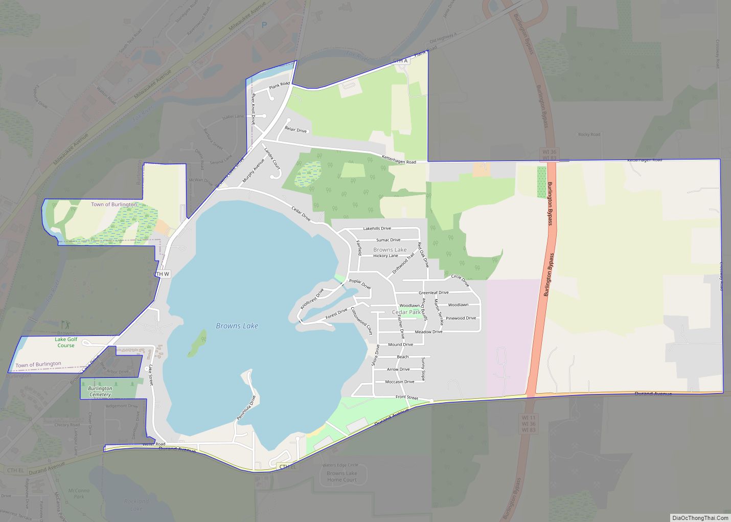
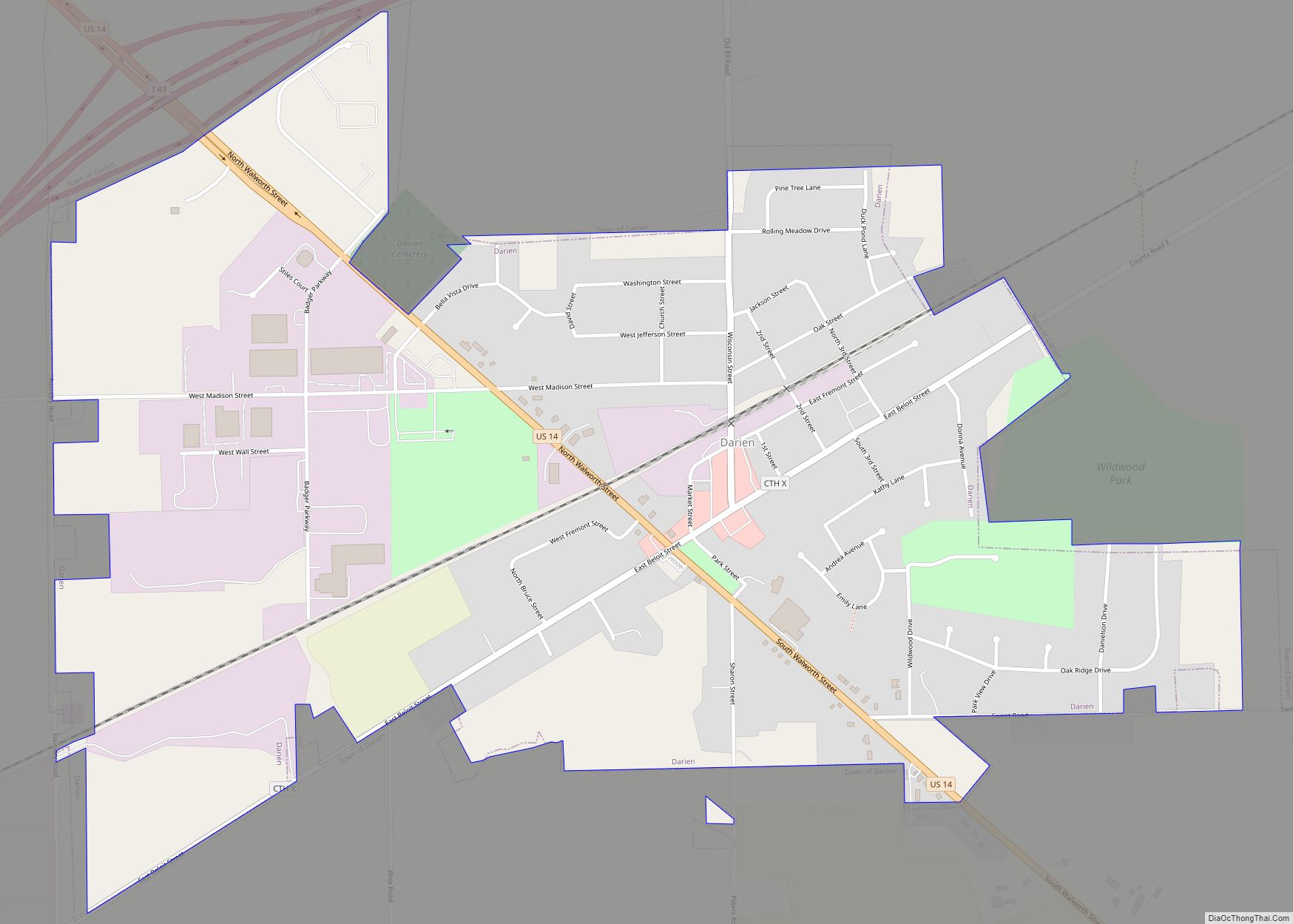
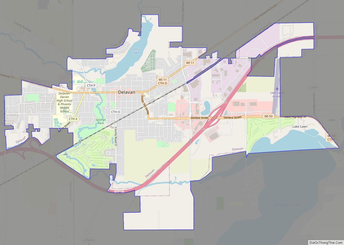
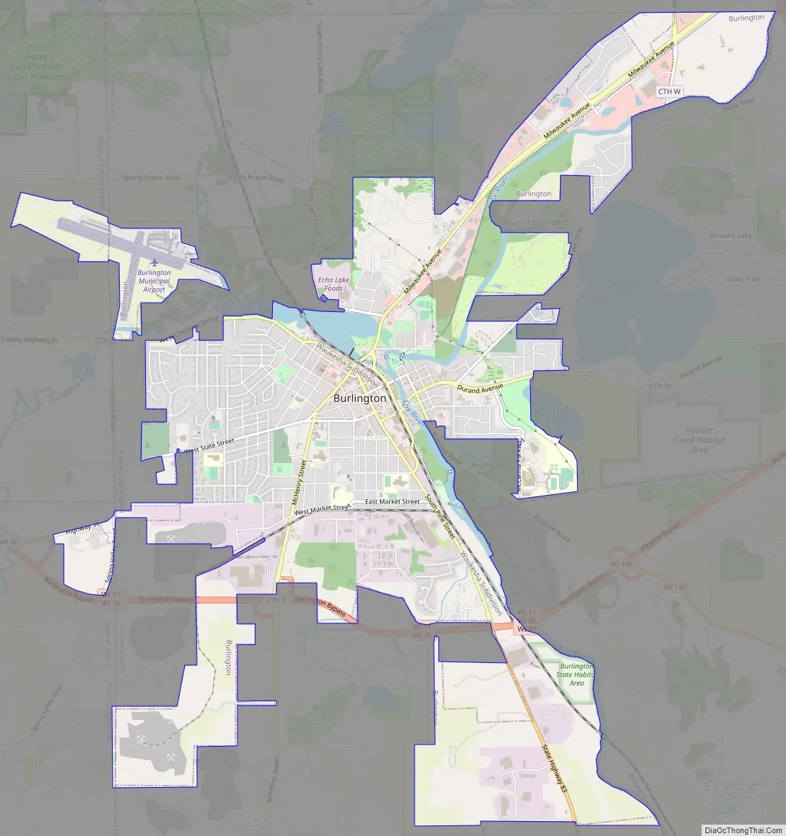
Online Interactive Map
Click on ![]() to view map in "full screen" mode.
to view map in "full screen" mode.
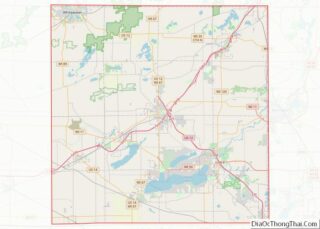
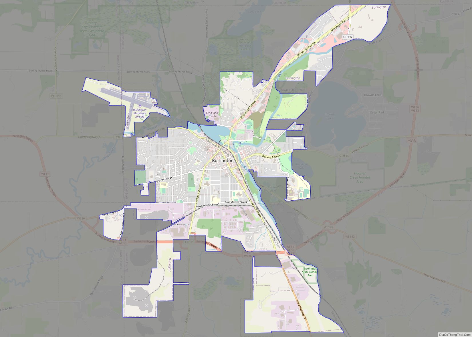
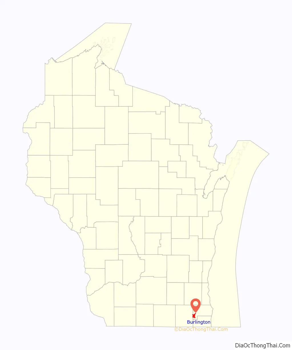
Burlington location map. Where is Burlington city?

History
Prior to the arrival of Europeans in the area, Native American mounds were constructed near the present location of Burlington. For example, around 1830, a small Potawatomi village stood in what is now the Town of Burlington, though it wasn’t larger than the present-day city.
The earliest certain European presence in what is now Burlington was in the fall of 1799, when a group of French explorers and missionaries led by Francis Morgan de Vereceones made a portage from the Root River to the Fox River, reaching the Fox at approximately Burlington’s present location.
The first European settlers in Burlington were Moses Smith (the son of a Revolutionary War veteran) and William Whiting. Smith and Whiting had been in the area previously, making a so-called “jackknife claim” to the land (carving their names and the date on trees in the vicinity) on December 15, 1835. The men then left the encampment and returned with Lemuel Smith (Moses’ brother) as well as Benjamin Perce, another member of the group. The four men searched for arable land and built a cabin on the east side of the Fox River (on what is now Wehmhoff-Jucker Park.) Other settlers arrived in the spring and summer of 1836, mostly from New England; they named their settlement Foxville. That year, the residents of Foxville unanimously decided to change their settlement’s name to “Burlington” after the city Burlington, Vermont; the Foxville name continued to be used, however, until that name was officially changed on July 15, 1839.
Since its establishment, Foxville had been in Michigan Territory. On July 3, 1836, however, an act of Congress organizing the Wisconsin Territory went into effect, and Foxville fell within the borders of Milwaukee County, Wisconsin Territory, which at that time included the present-day county of Racine. The two counties separated on December 7, 1836, and Foxville ended up in Racine County. The first post office in Foxville was created on March 21, 1837, with Moses Smith, one of the four founders of the city, as the first postmaster. In May 1837, a sawmill (the first frame building in the settlement) and a dam on the Fox River were completed.
On January 2, 1838, Rochester township, which included Foxville as well as all of Racine County west of Mount Pleasant, was established. On March 9, 1839, Burlington township (including at the time what is now the Town of Dover) and much of Brighton were separated from Rochester.
Burlington was a major New England settlement. The original founders of Burlington consisted entirely of settlers from New England, and inherited “Yankee” culture, that is, they were descended from the English Puritans who settled New England in the 1600s. They were part of a wave of New England farmers who headed west into what was then the wilds of the Northwest Territory during the early 1800s. Most of them arrived as a result of the completion of the Erie Canal. When they originally arrived in the area, there was nothing but dense virgin forest and wild prairie. The settlers laid out farms, constructed roads, erected government buildings and established post routes. They brought with them many of their “Yankee” New England values, such as staunch support for abolitionism as well as a passion for education and the subsequent construction of many schools. They were mostly members of the Congregationalist Church, though some were Episcopalian. Due to the second Great Awakening some of them had converted to Methodism before moving to what is now Burlington. Burlington, like much of Wisconsin, would be culturally similar to early New England for most of its early history.
From 1844 to 1850, the town of Voree, just to the west of Burlington, was the headquarters of the Church of Jesus Christ of Latter Day Saints (Strangite), one of many sects founded during the LDS succession crisis following the death of Latter Day Saint movement founder Joseph Smith. Although James Strang’s group relocated to Beaver Island, Michigan in 1850, his parents remained in Voree. After Strang was shot by two disgruntled members in 1856, he was taken to Voree where he died. He is buried in a cemetery in Burlington. Strang’s church still maintains a congregation in Voree to this day, and the local historical society has erected a monument to the Mormon settlement there.
Burlington was incorporated as a village in 1886; in 1900 it became a city.
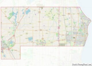
Burlington Road Map
Burlington city Satellite Map

Geography
According to the United States Census Bureau, the city has a total area of 7.73 square miles (20.02 km), of which, 7.50 square miles (19.42 km) is land and 0.23 square miles (0.60 km) is water.
Burlington is located at 42°40′40″N 88°16′41″W / 42.67778°N 88.27806°W / 42.67778; -88.27806 (42.677945, −88.278279).
See also
Map of Wisconsin State and its subdivision:- Adams
- Ashland
- Barron
- Bayfield
- Brown
- Buffalo
- Burnett
- Calumet
- Chippewa
- Clark
- Columbia
- Crawford
- Dane
- Dodge
- Door
- Douglas
- Dunn
- Eau Claire
- Florence
- Fond du Lac
- Forest
- Grant
- Green
- Green Lake
- Iowa
- Iron
- Jackson
- Jefferson
- Juneau
- Kenosha
- Kewaunee
- La Crosse
- Lafayette
- Lake Michigan
- Lake Superior
- Langlade
- Lincoln
- Manitowoc
- Marathon
- Marinette
- Marquette
- Menominee
- Milwaukee
- Monroe
- Oconto
- Oneida
- Outagamie
- Ozaukee
- Pepin
- Pierce
- Polk
- Portage
- Price
- Racine
- Richland
- Rock
- Rusk
- Saint Croix
- Sauk
- Sawyer
- Shawano
- Sheboygan
- Taylor
- Trempealeau
- Vernon
- Vilas
- Walworth
- Washburn
- Washington
- Waukesha
- Waupaca
- Waushara
- Winnebago
- Wood
- Alabama
- Alaska
- Arizona
- Arkansas
- California
- Colorado
- Connecticut
- Delaware
- District of Columbia
- Florida
- Georgia
- Hawaii
- Idaho
- Illinois
- Indiana
- Iowa
- Kansas
- Kentucky
- Louisiana
- Maine
- Maryland
- Massachusetts
- Michigan
- Minnesota
- Mississippi
- Missouri
- Montana
- Nebraska
- Nevada
- New Hampshire
- New Jersey
- New Mexico
- New York
- North Carolina
- North Dakota
- Ohio
- Oklahoma
- Oregon
- Pennsylvania
- Rhode Island
- South Carolina
- South Dakota
- Tennessee
- Texas
- Utah
- Vermont
- Virginia
- Washington
- West Virginia
- Wisconsin
- Wyoming