Map of Moose Creek CDP

Map of Moose Creek CDP

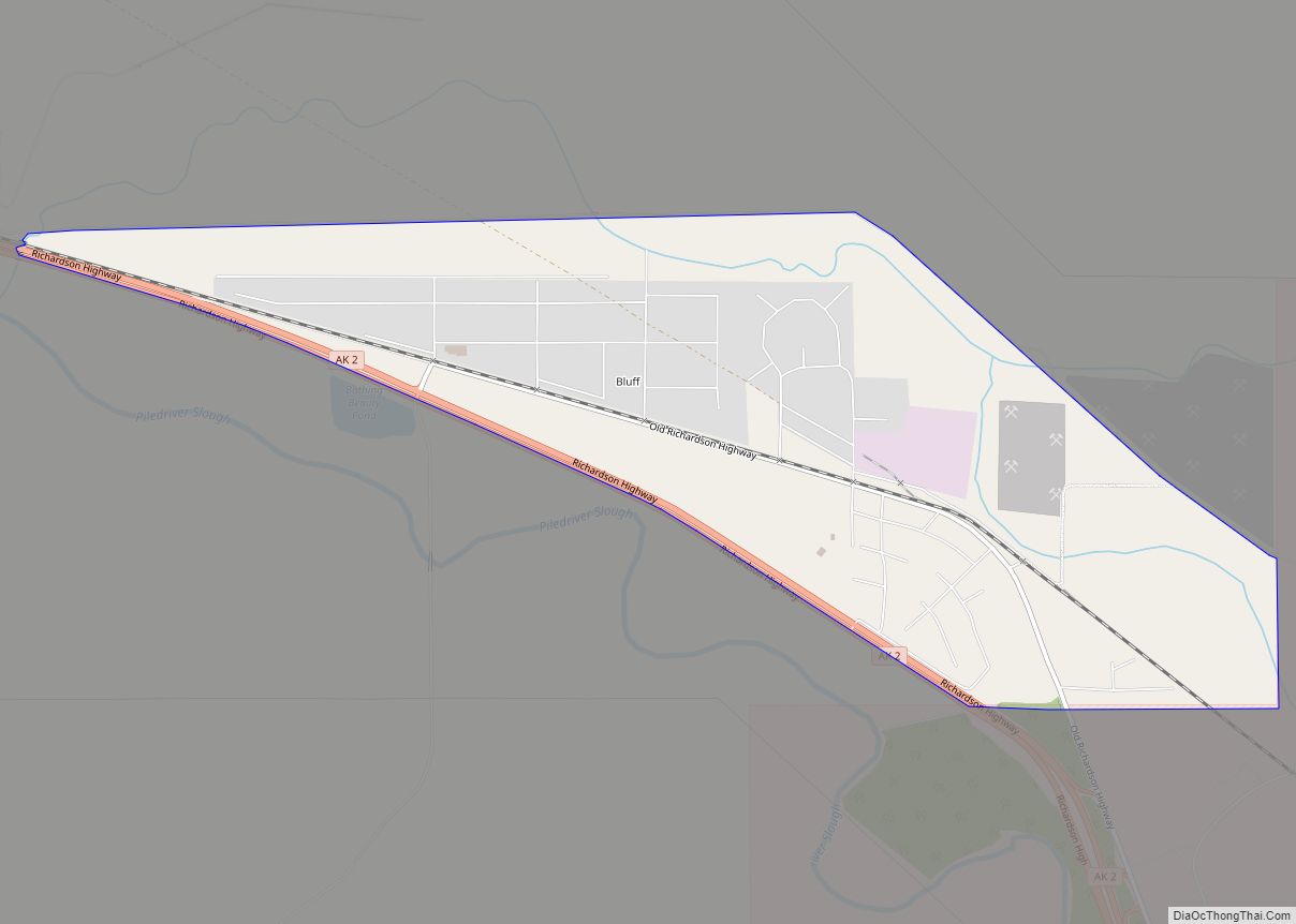
Moose Creek is a census-designated place (CDP) in Fairbanks North Star Borough in the U.S. state of Alaska. As of the 2010 census, the population of the CDP was 747, up from 542 in 2000. It is part of the ‘Fairbanks, Alaska Metropolitan Statistical Area’. Moose Creek is located south of Fairbanks, Alaska along the … Read more

Map of Minto CDP

Map of Minto CDP, Alaska

Minto (Tanana: Menhti) is a census-designated place (CDP) in Yukon-Koyukuk Census Area, Alaska, United States. As of the 2020 census, the population of the CDP is 150, down from 210 in 2010. The name is an anglicized version of the Lower Tanana Athabaskan name Menhti mən̥tʰi, meaning ‘among the lakes’. After repeated flooding the village … Read more

Map of Mountain Village city

Map of Mountain Village city, Alaska

Mountain Village (Central Yupik: Asaacaryaraq) is a city in Kusilvak Census Area, Alaska, United States, located on the Yukon River near the Yukon-Kuskokwim Delta. At the 2010 census the population was 813, up from 755 in 2000. Mountain Village city overview: Name: Mountain Village city LSAD Code: 25 LSAD Description: city (suffix) State: Alaska County: … Read more

Map of Mosquito Lake CDP

Map of Mosquito Lake CDP

Mosquito Lake (Lingít: Xunt’i Áa) is a census-designated place (CDP) in Haines Borough, Alaska, United States. At the 2010 census the population was 309, up from 221 at the 2000 census. Mosquito Lake CDP overview: Name: Mosquito Lake CDP LSAD Code: 57 LSAD Description: CDP (suffix) State: Alaska County: Haines Borough Elevation: 305 ft (93 m) Total … Read more

Map of Moose Pass CDP

Map of Moose Pass CDP

Moose Pass is a census-designated place (CDP) in Kenai Peninsula Borough, Alaska, United States. The population was 219 at the 2010 census, up from 206 in 2000. Moose Pass CDP overview: Name: Moose Pass CDP LSAD Code: 57 LSAD Description: CDP (suffix) State: Alaska County: Kenai Peninsula Borough Elevation: 472 ft (144 m) Total Area: 17.88 sq mi (46.31 km²) … Read more

Map of Naknek CDP

Map of Naknek CDP

Naknek (Central Yupik: Nakniq) is a census-designated place located in and the borough seat of Bristol Bay Borough in the U.S. state of Alaska. As of the 2020 census, the population of the CDP was 470, down from 544 in 2010. Naknek is located on the north bank of the Naknek River, close to where … Read more

Map of Nabesna CDP

Map of Nabesna CDP

Nabesna (Nabaesna’ in Ahtna; Naambia Niign Daacheeg in Upper Tanana) is a census-designated place and unincorporated community in northern Copper River Census Area, Alaska, United States, in the northern part of the Wrangell-St. Elias National Park and Preserve. It lies along the Nabesna Road, a gravel road that connects it to the Tok Cut-Off at … Read more

Map of Mud Bay CDP

Map of Mud Bay CDP

Mud Bay (Lingít: Ḵutlkw G̱eeyí) is a census-designated place (CDP) in Haines Borough, Alaska, United States. At the 2010 census the population was 212, up from 137 at the 2000 census. Mud Bay CDP overview: Name: Mud Bay CDP LSAD Code: 57 LSAD Description: CDP (suffix) State: Alaska County: Haines Borough Elevation: 72 ft (22 m) Total … Read more

Map of Napaskiak city

Map of Napaskiak city

Napaskiak (Central Yupik: Napaskiaq) is a city in Bethel Census Area, Alaska, United States. At the 2010 census the population was 405, up from 390 in 2000. Napaskiak city overview: Name: Napaskiak city LSAD Code: 25 LSAD Description: city (suffix) State: Alaska County: Bethel Census Area Incorporated: October 27, 1971 Elevation: 3 ft (1 m) Total Area: … Read more

Map of Napakiak city

Map of Napakiak city

Napakiak (Central Yupik: Naparyarraq) is a city in Bethel Census Area, Alaska, United States. At the 2010 census the population was 354, up one resident from 353 since 2000. Napakiak city overview: Name: Napakiak city LSAD Code: 25 LSAD Description: city (suffix) State: Alaska County: Bethel Census Area Incorporated: October 19, 1970 Elevation: 10 ft (3 m) … Read more

Map of Nanwalek CDP

Map of Nanwalek CDP

Nanwalek (‘place by lagoon’; Russian: Нануалек), formerly Alexandrovsk (Russian: Александровск) and later English Bay, is a census-designated place (CDP) in the Kenai Peninsula Borough, Alaska, United States, that contains a traditional Alutiiq village. The population was 254 at the 2010 census, up from 177 in 2000. There is one school located in the community, attended … Read more

Map of Nelson Lagoon CDP

Map of Nelson Lagoon CDP

Nelson Lagoon (Unangax̂: Niilsanam Alĝuudaa) is a census-designated place (CDP) in Aleutians East Borough, Alaska, United States. At the 2020 census the population was 41, down from 52 in 2010 and 83 in 2000. Nelson Lagoon was established around 1960 and is the youngest of the Borough communities. It is the only Aleut settlement on … Read more