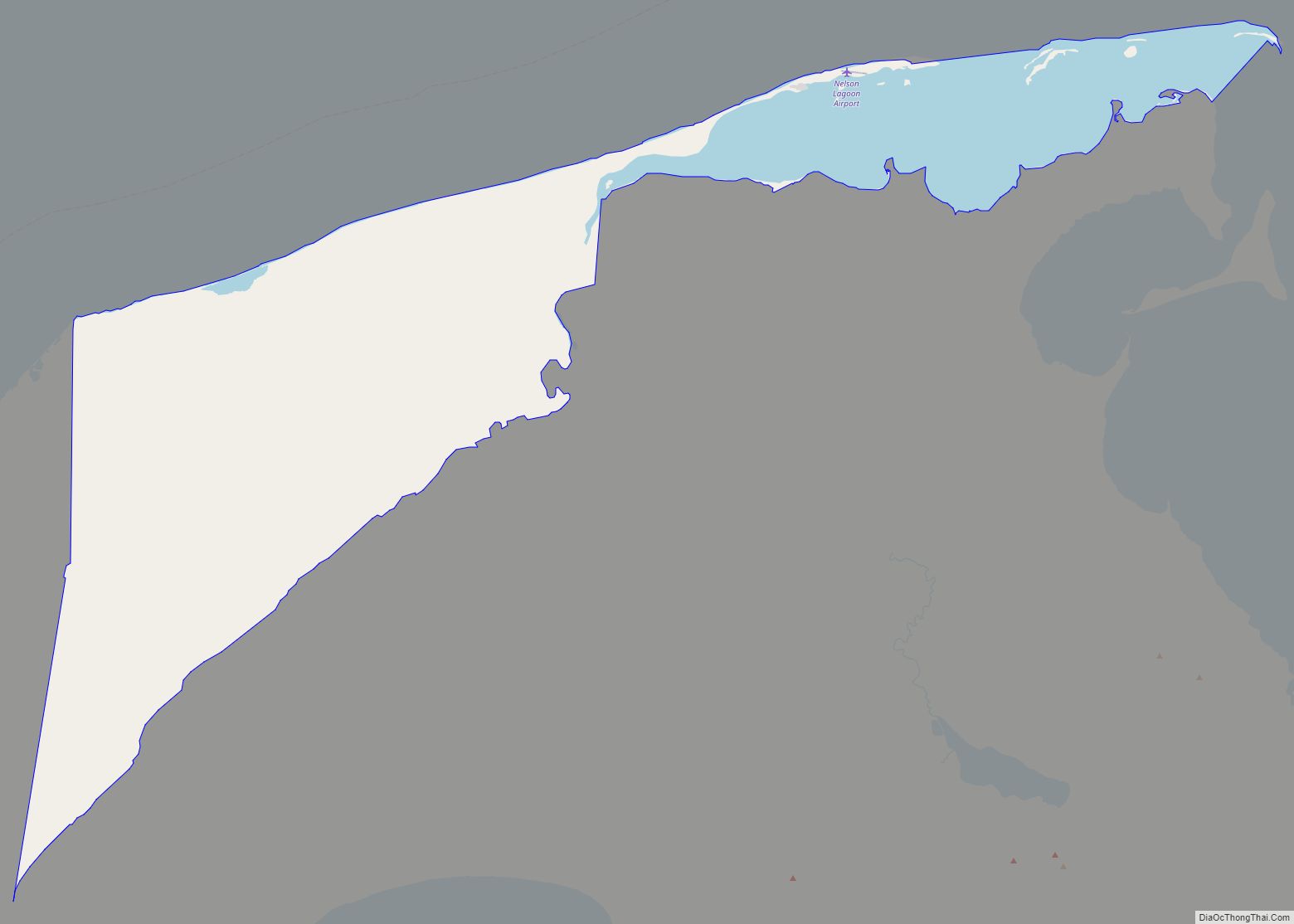
Map of Nelchina CDP

Map of Nelchina CDP

Nelchina (Xaz Ghae Na’ in Ahtna) is a census-designated place (CDP) in Copper River Census Area, Alaska, United States. The population was 45 at the 2020 census, down from 59 in 2010. Nelchina CDP overview: Name: Nelchina CDP LSAD Code: 57 LSAD Description: CDP (suffix) State: Alaska County: Valdez-Cordova Census Area Elevation: 2,402 ft (732 m) Total … Read more

Map of Naukati Bay CDP

Map of Naukati Bay CDP

Naukati Bay (Lingít: Nàakig̱èey) is a census-designated place (CDP) in the Prince of Wales-Hyder Census Area of the Unorganized Borough of the U.S. state of Alaska. The population was 113 at the 2010 census, down from 135 in 2000. Also known as Naukati or Naukati West, the community lies approximately 30 miles (48 km) north of … Read more

Map of Newhalen city

Map of Newhalen city

Newhalen (Central Yupik: Nuuriileng; Tanaina: Nughilen) is a city in Lake and Peninsula Borough, Alaska, United States. At the 2020 census, the population was 168. Newhalen city overview: Name: Newhalen city LSAD Code: 25 LSAD Description: city (suffix) State: Alaska County: Lake and Peninsula Borough Incorporated: October 26, 1971 Elevation: 62 ft (19 m) Total Area: 8.50 sq mi … Read more

Map of New Stuyahok city

Map of New Stuyahok city

New Stuyahok (Central Yupik: Cetuyaraq) is a city in Dillingham Census Area, Alaska, United States. At the 2010 census the population was 510, up from 471 in 2000. New Stuyahok city overview: Name: New Stuyahok city LSAD Code: 25 LSAD Description: city (suffix) State: Alaska County: Dillingham Census Area Incorporated: November 20, 1972 Elevation: 138 ft … Read more

Map of Nenana city

Map of Nenana city

Nenana /nɛˈnænə/ (Lower Tanana: Toghotili; is a home rule city in the Yukon-Koyukuk Census Area of the Unorganized Borough in the Interior of the U.S. state of Alaska. Nenana developed as a Lower Tanana community at the confluence where the tributary Nenana River enters the Tanana. The population was 378 at the 2010 census, down … Read more

Map of Nightmute city

Map of Nightmute city

Nightmute (Central Yupik: Negtemiut or Negta) is a city and village in Bethel Census Area, Alaska, United States. The population was 208 at the 2000 census and 280 as of the 2010 census. Nightmute city overview: Name: Nightmute city LSAD Code: 25 LSAD Description: city (suffix) State: Alaska County: Bethel Census Area Incorporated: April 30, … Read more

Map of Newtok CDP

Map of Newtok CDP

Newtok (Central Yupik: Niugtaq) is a small village on the Ningliq River in the Bethel Census Area, Alaska, United States. At the 2010 census, the population was 354, up from 321 in 2000. Climate change is forcing the primarily Central Yup’ik Alaska Native village to consider relocation. Mertarvik is the destination of those leaving the … Read more

Map of Nikiski CDP

Map of Nikiski CDP

Nikiski is a census-designated place (CDP) in Kenai Peninsula Borough, Alaska, United States. The population was 4,456 at the 2020 census, down from 4,493 in 2010. Nikiski CDP overview: Name: Nikiski CDP LSAD Code: 57 LSAD Description: CDP (suffix) State: Alaska County: Kenai Peninsula Borough Elevation: 128 ft (39 m) Total Area: 75.93 sq mi (196.65 km²) Land Area: 69.48 sq mi … Read more

Map of Nikolski CDP

Map of Nikolski CDP

Nikolski (Chalukax̂ in Aleut; Russian: Никольский) is a census-designated place (CDP) on Umnak Island in Aleutians West Census Area, Alaska, United States. The population was 39 at the 2020 census, up from 18 in 2010. Nikolski is on Nikolski Bay, off the southwest end of the island. It is 116 air miles west of Unalaska, … Read more

Map of Nikolai city

Map of Nikolai city

Nikolai (Edze Dochak’ in Upper Kuskokwim) is a city in Yukon-Koyukuk Census Area, Alaska, United States. The population was 94 as of the 2010 census, down from 100 in 2000. Nikolai city overview: Name: Nikolai city LSAD Code: 25 LSAD Description: city (suffix) State: Alaska County: Yukon-Koyukuk Census Area Incorporated: July 9, 1970 Elevation: 427 ft … Read more

Map of Nikolaevsk CDP

Map of Nikolaevsk CDP

Nikolaevsk (Russian: Никола́евск, IPA: [nʲɪkɐˈɫa(j)ɪfsk]) is a census-designated place (CDP) in Kenai Peninsula Borough in the U.S. state of Alaska. As of the 2020 census, the population of the CDP is 328, up from 318 in 2010. Nikolaevsk School serves school-age children from the area. Nikolaevsk CDP overview: Name: Nikolaevsk CDP LSAD Code: 57 LSAD Description: … Read more

Map of Nome city

Map of Nome city, Alaska

Nome (/ˈnoʊm/; (Inupiaq: Sitŋasuaq, pronounced [sitŋɐsuɑq], also Sitŋazuaq, Siqnazuaq)) is a city in the Nome Census Area in the Unorganized Borough of Alaska, United States. The city is located on the southern Seward Peninsula coast on Norton Sound of the Bering Sea. It had a population of 3,699 recorded in the 2020 census, up from 3,598 … Read more