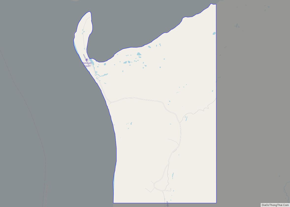
Map of Pitkas Point CDP

Map of Pitkas Point CDP

Pitkas Point (Central Yupik: Negeqliim Painga) is a census-designated place (CDP) in Kusilvak Census Area, Alaska, United States. The population was 109 at the 2010 census, down from 125 in 2000. Pitkas Point CDP overview: Name: Pitkas Point CDP LSAD Code: 57 LSAD Description: CDP (suffix) State: Alaska County: Kusilvak Census Area Total Area: 1.61 sq mi … Read more

Map of Pilot Station city

Map of Pilot Station city

Pilot Station (Central Yupik: Tuutalgaq) is a city in Kusilvak Census Area, Alaska, United States. The population was 568 at the 2010 census, up from 550 in 2000. Pilot Station city overview: Name: Pilot Station city LSAD Code: 25 LSAD Description: city (suffix) State: Alaska County: Kusilvak Census Area Incorporated: October 6, 1969 Elevation: 33 ft … Read more

Map of Point Hope city

Map of Point Hope city

Point Hope (Inupiaq: Tikiġaq, IPA: [tikeʁɑq]) is a city in North Slope Borough, Alaska, United States. At the 2010 census the population was 674, down from 757 in 2000. In the 2020 Census, the population rose to 830. Like many isolated communities in Alaska, the city has no road or rail connections to the outside world, … Read more

Map of Point Baker CDP

Map of Point Baker CDP, Alaska

Point Baker (Lingít: X̱aaséedák’u) is a census-designated place (CDP) in Prince of Wales-Hyder Census Area, Alaska, United States. The population was 12 at the 2020 census, down from 15 in 2010 and 35 in 2000. Point Baker CDP overview: Name: Point Baker CDP LSAD Code: 57 LSAD Description: CDP (suffix) State: Alaska County: Prince of … Read more

Map of Pleasant Valley CDP

Map of Pleasant Valley CDP, Alaska

Pleasant Valley is a census-designated place (CDP) in Fairbanks North Star Borough, Alaska, United States. It is part of the Fairbanks, Alaska Metropolitan Statistical Area. The population was 725 at the 2010 census, up from 623 at the 2000 census. Pleasant Valley CDP overview: Name: Pleasant Valley CDP LSAD Code: 57 LSAD Description: CDP (suffix) … Read more

Map of Point Lay CDP

Map of Point Lay CDP

Point Lay (Kali in Inupiaq- “Mound”) is a census-designated place (CDP) in North Slope Borough, Alaska, United States. At the 2020 census the population was 330, up from 189 in 2010. Point Lay CDP overview: Name: Point Lay CDP LSAD Code: 57 LSAD Description: CDP (suffix) State: Alaska County: North Slope Borough Total Area: 32.29 sq mi … Read more

Map of Point Possession CDP

Map of Point Possession CDP

Point Possession (Dena’ina: Tuyqun or Ch’aghałnikt) is a census-designated place (CDP) on the Kenai Peninsula in Alaska. According to the 2020 census, the CDP population was 9. Since 2009, Point Possession has been owned by the federal government and has been made a part of the Kenai National Wildlife Refuge. Point Possession CDP overview: Name: … Read more

Map of Point MacKenzie CDP

Map of Point MacKenzie CDP

Point MacKenzie is a census-designated place (CDP) in Matanuska-Susitna Borough, Alaska, United States. It is part of the Anchorage, Alaska Metropolitan Statistical Area. At the 2020 census the population was 1,852, up from 529 in 2010. Point MacKenzie CDP overview: Name: Point MacKenzie CDP LSAD Code: 57 LSAD Description: CDP (suffix) State: Alaska County: Matanuska-Susitna … Read more

Map of Port Alsworth CDP

Map of Port Alsworth CDP

Port Alsworth is a census-designated place (CDP) in Lake and Peninsula Borough, Alaska, United States. It is 165 miles (266 km) by air southwest of Anchorage. The population was 186 at the 2020 census, up from 159 in 2010. It is the most populated community in the borough. Port Alsworth was founded in 1950 by Babe … Read more

Map of Port Alexander city

Map of Port Alexander city

Port Alexander (Lingít: Shee Yat’aḵ.aan) is a city at the southeastern corner of Baranof Island in Prince of Wales-Hyder Census Area, Alaska, United States. At the 2010 census the population was 52, down from 81 in 2000. Port Alexander city overview: Name: Port Alexander city LSAD Code: 25 LSAD Description: city (suffix) State: Alaska County: … Read more

Map of Pope-Vannoy Landing CDP

Map of Pope-Vannoy Landing CDP

Pope-Vannoy Landing is a census-designated place (CDP) in the Lake and Peninsula Borough in the U.S. state of Alaska. The population was six at the 2020 census, same amount as in 2010. Pope-Vannoy Landing CDP overview: Name: Pope-Vannoy Landing CDP LSAD Code: 57 LSAD Description: CDP (suffix) State: Alaska County: Lake and Peninsula Borough Total … Read more

Map of Port Heiden city

Map of Port Heiden city

Port Heiden (Alutiiq: Masrriq) is a city in Lake and Peninsula Borough, Alaska, United States. As of the 2020 census, the population of the city is 100, slightly down from 102 in 2010. Port Heiden city overview: Name: Port Heiden city LSAD Code: 25 LSAD Description: city (suffix) State: Alaska County: Lake and Peninsula Borough … Read more