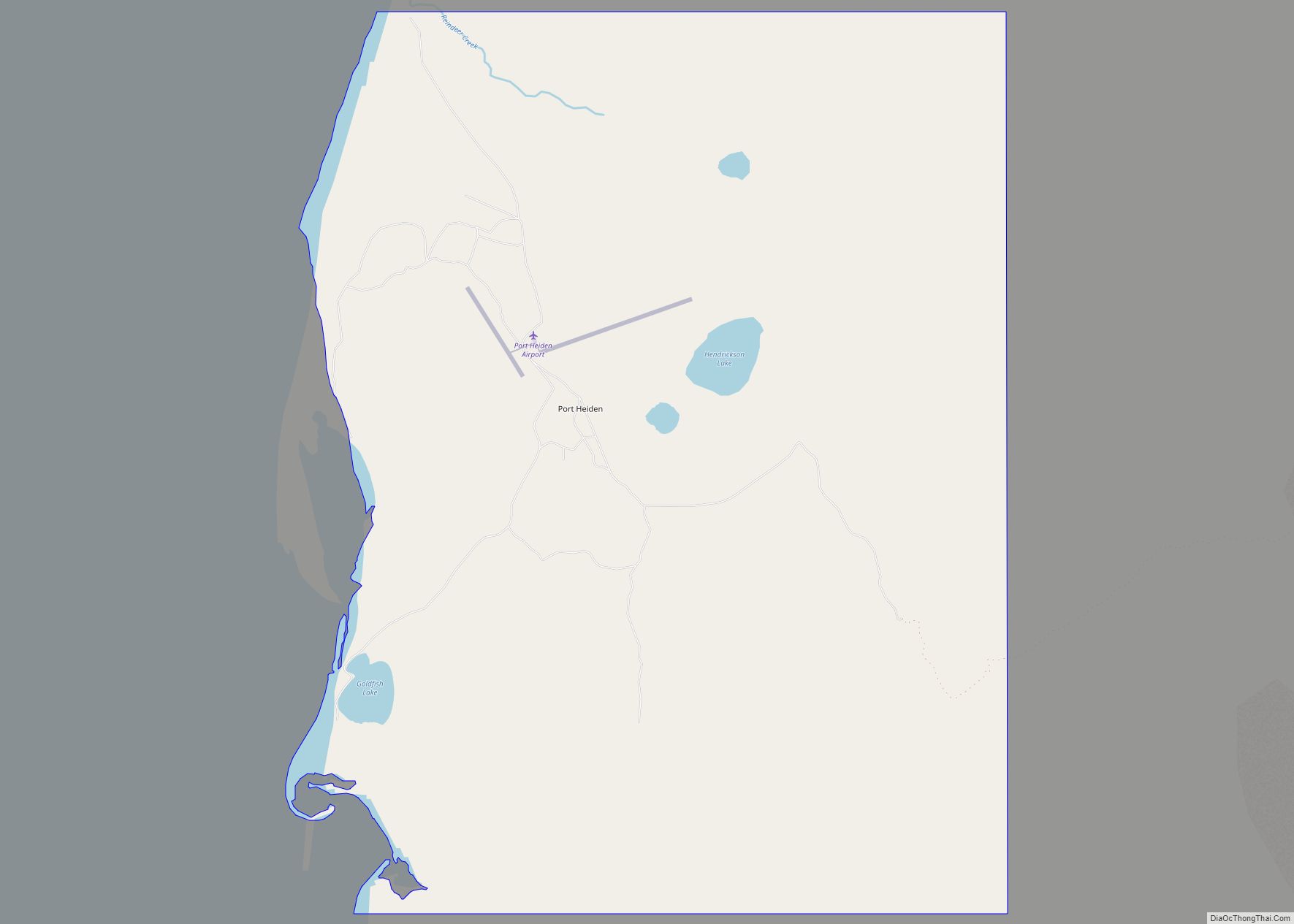
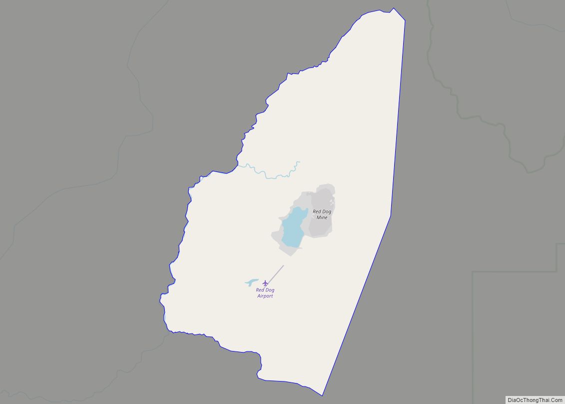
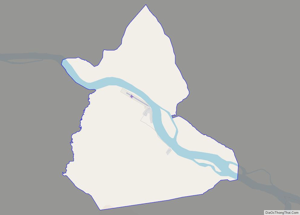
Map of Port Graham CDP

Map of Port Graham CDP

Port Graham, also known as Paluwik (pah-LU-wig) in the Alutiiq language, is a census-designated place (CDP) in Kenai Peninsula Borough, Alaska, United States. At the 2020 census, the population was 162. Port Graham CDP overview: Name: Port Graham CDP LSAD Code: 57 LSAD Description: CDP (suffix) State: Alaska County: Kenai Peninsula Borough Elevation: 20 ft (6 m) … Read more

Map of Port Clarence CDP

Map of Port Clarence CDP

Port Clarence is a census-designated place (CDP) in Nome Census Area, Alaska. The population was 24 at the 2010 census, up from 21 in 2000. It is located on the spit separating Port Clarence Bay from the Bering Strait. Port Clarence CDP overview: Name: Port Clarence CDP LSAD Code: 57 LSAD Description: CDP (suffix) State: … Read more

Map of Portage Creek CDP

Map of Portage Creek CDP

Portage Creek is a census-designated place (CDP) in Dillingham Census Area, Alaska, United States. The population was 2 at the 2010 census, down from 36 at the 2000 census. Portage Creek CDP overview: Name: Portage Creek CDP LSAD Code: 57 LSAD Description: CDP (suffix) State: Alaska County: Dillingham Census Area Elevation: 40 ft (10 m) Total Area: … Read more

Map of Port Protection CDP

Map of Port Protection CDP

Port Protection (Lingít: Kél) is a census-designated place (CDP) in Prince of Wales-Hyder Census Area, Alaska, United States. The population was 36 at the 2020 census, down from 48 in 2010 census. Port Protection CDP overview: Name: Port Protection CDP LSAD Code: 57 LSAD Description: CDP (suffix) State: Alaska County: Prince of Wales-Hyder Census Area … Read more

Map of Port Lions city

Map of Port Lions city

Port Lions (Masiqsirraq in Alutiiq) is a city located on Kodiak Island in the Kodiak Island Borough of the U.S. state of Alaska. As of the 2010 census, the population of the city was 194, down from 256 in 2000. Port Lions was built to house the inhabitants of Ag’waneq from the neighboring island of … Read more

Map of Quinhagak city

Map of Quinhagak city

Quinhagak (/ˈkwɪnəhɑːk/; Central Yupik: Kuinerraq; Russian: Куинагак) is a city in Bethel Census Area, Alaska, United States. As of the 2010 census, the population of the city is 669, up from 555 in 2000. The Yupik name for the village is Kuinerraq, meaning “new river channel.” It has been dated to at least 1000 AD. … Read more

Map of Prudhoe Bay CDP

Map of Prudhoe Bay CDP

Prudhoe Bay /ˈpruːdoʊ/ is a census-designated place (CDP) located in North Slope Borough in the U.S. state of Alaska. As of the 2010 census, the population of the CDP was 2,174 people, up from just five residents in the 2000 census; however, at any given time, several thousand transient workers support the Prudhoe Bay oil … Read more

Map of Primrose CDP

Map of Primrose CDP, Alaska

Primrose is a census-designated place (CDP) in Kenai Peninsula Borough, Alaska, United States. The population was 78 at the 2010 census, down from 93 at the 2000 census. Primrose is one of a number of small communities located north of Seward along the Seward Highway. Primrose CDP overview: Name: Primrose CDP LSAD Code: 57 LSAD … Read more

Map of Rampart CDP

Map of Rampart CDP

Rampart (Dleł Taaneets [t͡ɬəɬ tʰæːniːt͡sʰ] in Koyukon) is a census-designated place (CDP) in Yukon-Koyukuk Census Area, Alaska, United States. The population was 24 at the 2010 census, down from 45 in 2000. Rampart CDP overview: Name: Rampart CDP LSAD Code: 57 LSAD Description: CDP (suffix) State: Alaska County: Yukon-Koyukuk Census Area Total Area: 169.90 sq mi (440.04 km²) … Read more

Map of Red Dog Mine CDP

Map of Red Dog Mine CDP

Red Dog Mine is a census-designated place (CDP) in the Northwest Arctic Borough of the U.S. state of Alaska. The population was 5 at the 2020 census, down from 309 in 2010. Red Dog Mine CDP overview: Name: Red Dog Mine CDP LSAD Code: 57 LSAD Description: CDP (suffix) State: Alaska County: Northwest Arctic Borough … Read more

Map of Red Devil CDP

Map of Red Devil CDP

Red Devil is a census-designated place (CDP) in Bethel Census Area, Alaska, United States. The population was 23 at the 2010 census, down from 48 in 2000. Their post office was founded in 1957. Red Devil CDP overview: Name: Red Devil CDP LSAD Code: 57 LSAD Description: CDP (suffix) State: Alaska County: Bethel Census Area … Read more

Map of Russian Mission city

Map of Russian Mission city

Russian Mission (Central Yupik: Iqugmiut; Russian: Икогмют – Ikogmiut, now Рашен-Мишен) is a city in Kusilvak Census Area, Alaska. It was the location of a fur trading post of the Russian-American Company in 1842. After the sale of Russian-American possessions to the United States in 1867, it was officially named Russian Mission in the early … Read more