Prudhoe Bay /ˈpruːdoʊ/ is a census-designated place (CDP) located in North Slope Borough in the U.S. state of Alaska. As of the 2010 census, the population of the CDP was 2,174 people, up from just five residents in the 2000 census; however, at any given time, several thousand transient workers support the Prudhoe Bay oil field. The airport, lodging and general store are located in Deadhorse, and the rigs and processing facilities are located on scattered gravel pads laid atop the tundra. It is only during winter that the surface is hard enough to support heavy equipment, and new construction happens at that time.
Prudhoe Bay is the unofficial northern terminus of the Pan-American Highway. As the bay itself is still 10 miles further north through a security checkpoint, open water is not visible from the highway. A few tourists, arriving by bus after a two-day ride up the Dalton Highway from Fairbanks, come to see the tundra, the Arctic Ocean and the midnight sun, staying in lodgings assembled from modular buildings. Tours must be arranged in advance to see the Arctic Ocean and the bay itself.
Prudhoe Bay was named in 1826 by British explorer Sir John Franklin after his classmate Captain Algernon Percy, Baron Prudhoe. Franklin traveled westerly along the coast from the mouth of the Mackenzie River in Canada almost to Point Barrow.
| Name: | Prudhoe Bay CDP |
|---|---|
| LSAD Code: | 57 |
| LSAD Description: | CDP (suffix) |
| State: | Alaska |
| County: | North Slope Borough |
| Elevation: | 30 ft (9 m) |
| Total Area: | 569.89 sq mi (1,476.00 km²) |
| Land Area: | 390.42 sq mi (1,011.17 km²) |
| Water Area: | 179.47 sq mi (464.83 km²) |
| Total Population: | 1,310 |
| Population Density: | 3.36/sq mi (1.30/km²) |
| ZIP code: | 99734 |
| Area code: | 907 (Local exchange prefix: 659) |
| FIPS code: | 0264380 |
| GNISfeature ID: | 1865563 |
Online Interactive Map
Click on ![]() to view map in "full screen" mode.
to view map in "full screen" mode.
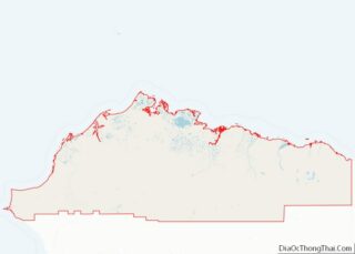
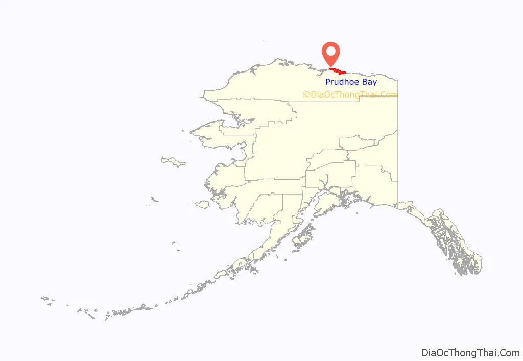
Prudhoe Bay location map. Where is Prudhoe Bay CDP?
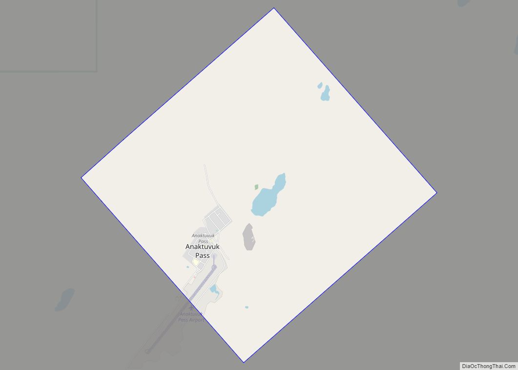
Prudhoe Bay Road Map

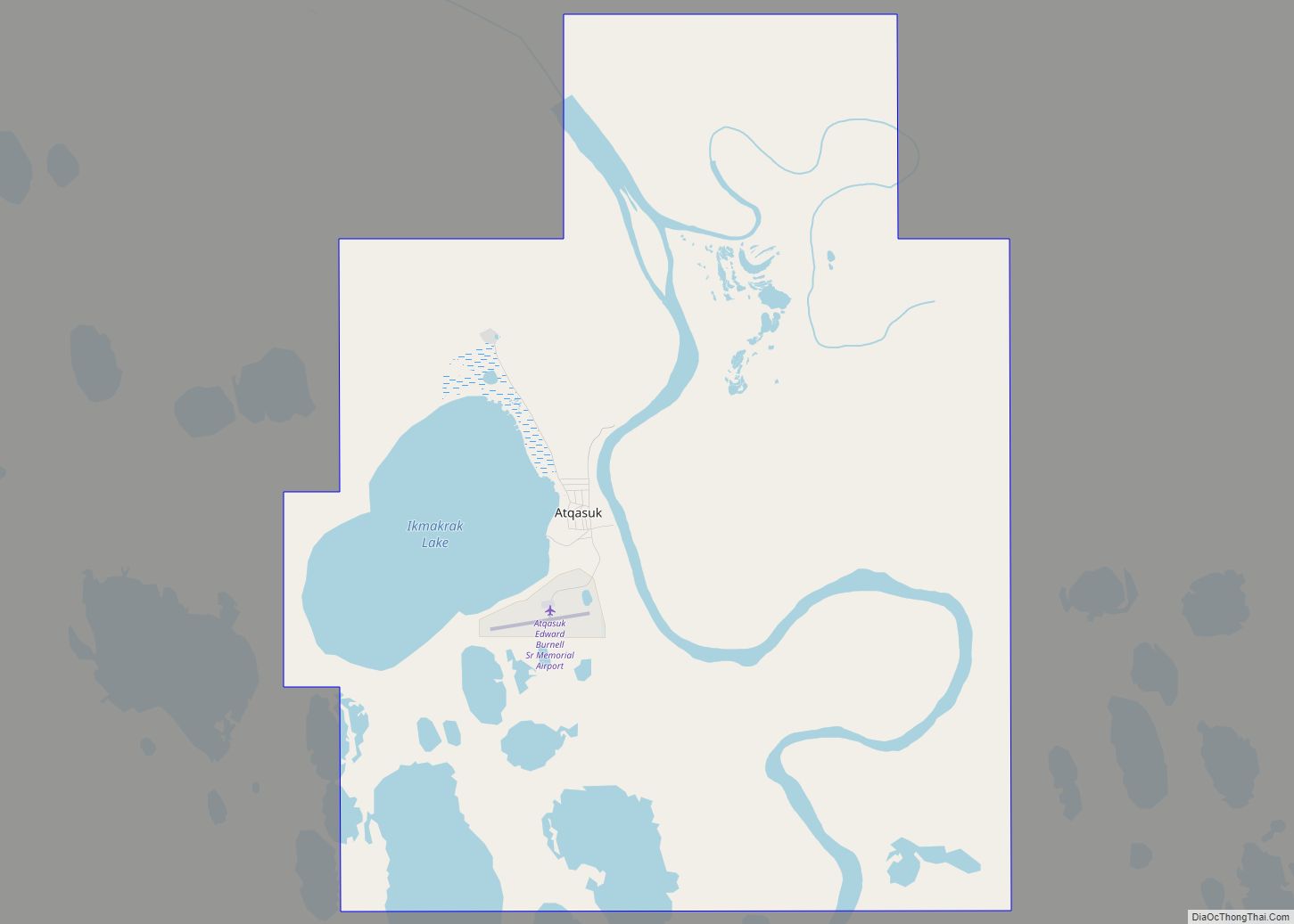
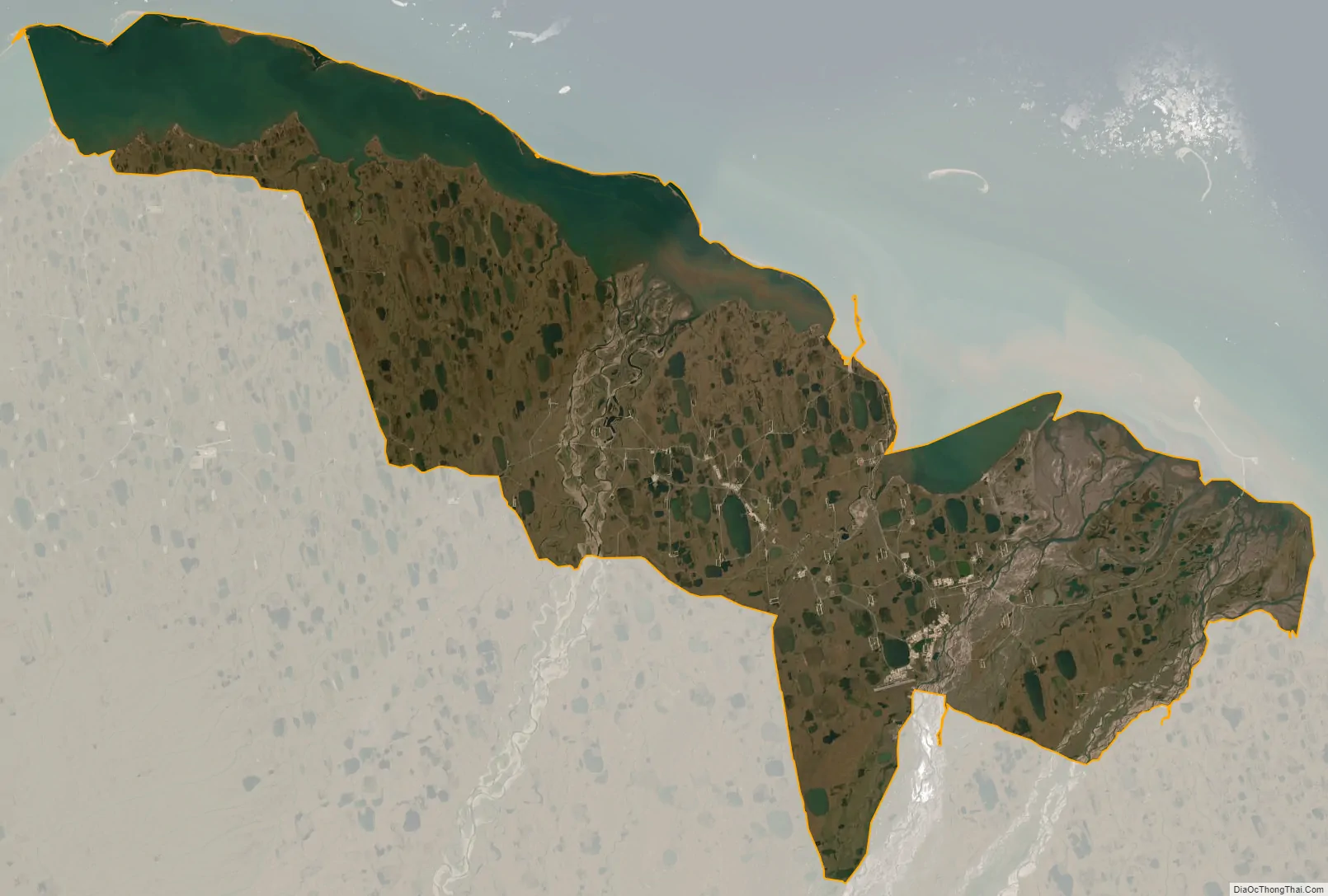
Prudhoe Bay city Satellite Map
Geography
Prudhoe Bay is located at 70°19′32″N 148°42′41″W / 70.325490°N 148.711387°W / 70.325490; -148.711387, on the Sagavanirktok River.
According to the United States Census Bureau, the CDP has a total area of 558.0 sq mi (1,445 km) of which, 416.3 sq mi (1,078 km) is land and 141.8 sq mi (367 km) is water. The total area is 25.40% water.
See also
Map of Alaska State and its subdivision:- Aleutians East
- Aleutians West
- Anchorage
- Bethel
- Bristol Bay
- Denali
- Dillingham
- Fairbanks North Star
- Haines
- Juneau
- Kenai Peninsula
- Ketchikan Gateway
- Kodiak Island
- Lake and Peninsula
- Matanuska-Susitna
- Nome
- North Slope
- Northwest Arctic
- Prince of Wales-Outer Ketchi
- Sitka
- Skagway-Yakutat-Angoon
- Southeast Fairbanks
- Valdez-Cordova
- Wade Hampton
- Wrangell-Petersburg
- Yukon-Koyukuk
- Alabama
- Alaska
- Arizona
- Arkansas
- California
- Colorado
- Connecticut
- Delaware
- District of Columbia
- Florida
- Georgia
- Hawaii
- Idaho
- Illinois
- Indiana
- Iowa
- Kansas
- Kentucky
- Louisiana
- Maine
- Maryland
- Massachusetts
- Michigan
- Minnesota
- Mississippi
- Missouri
- Montana
- Nebraska
- Nevada
- New Hampshire
- New Jersey
- New Mexico
- New York
- North Carolina
- North Dakota
- Ohio
- Oklahoma
- Oregon
- Pennsylvania
- Rhode Island
- South Carolina
- South Dakota
- Tennessee
- Texas
- Utah
- Vermont
- Virginia
- Washington
- West Virginia
- Wisconsin
- Wyoming