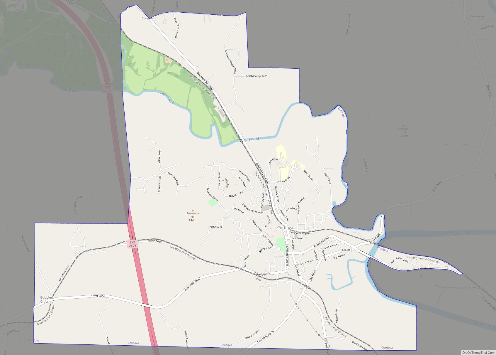
Map of Coosada town

Map of Coosada town

Coosada is a town in Elmore County, Alabama, United States. At the 2020 census, the population was 1,217. It is part of the Montgomery Metropolitan Statistical Area. Coosada town overview: Name: Coosada town LSAD Code: 43 LSAD Description: town (suffix) State: Alabama County: Elmore County Elevation: 180 ft (55 m) Total Area: 7.13 sq mi (18.48 km²) Land Area: 6.89 sq mi … Read more

Map of Concord city

Map of Concord CDP, Alabama

Concord is a census-designated place in Jefferson County, Alabama, United States. At the 2010 census the population was 1,837, up from 1,809 in 2000. It is northwest from the Birmingham suburb of Hueytown. Concord CDP overview: Name: Concord CDP LSAD Code: 57 LSAD Description: CDP (suffix) State: Alabama County: Jefferson County Elevation: 585 ft (178 m) Total … Read more

Map of County Line town

Map of County Line town

County Line is a town in Blount and Jefferson counties in the State of Alabama. At the 2020 census, the population was 311. County Line town overview: Name: County Line town LSAD Code: 43 LSAD Description: town (suffix) State: Alabama County: Blount County, Jefferson County Elevation: 554 ft (169 m) Total Area: 0.96 sq mi (2.48 km²) Land Area: 0.96 sq mi … Read more

Map of Cottonwood town

Map of Cottonwood town, Alabama

Cottonwood is a town in Houston County, Alabama, United States. One source said the town incorporated in 1901, although the 1910 U.S. Census stated 1903. It is part of the Dothan, Alabama Metropolitan Statistical Area. At the 2010 census the population was 1,289, up from 1,170 in 2000. Cottonwood town overview: Name: Cottonwood town LSAD … Read more

Map of Cottondale CDP

Map of Cottondale CDP, Alabama

Cottondale is a census-designated place in Tuscaloosa County, Alabama, United States, now encompassed in the eastern suburbs of Tuscaloosa. The ZIP Code is 35453. Alternative spellings include Cotton Dale, Kennedale, Kennidale and Konnidale. Cottondale was the site of cotton mills where the Knights of Labor had some success in organizing drives in the late 1880s; … Read more

Map of Creola city

Map of Creola city, Alabama

Creola is a city in Mobile County, Alabama, United States. Incorporated in 1978, the city had a population of 1,936 at the 2020 census. It is part of the Mobile metropolitan area. Creola city overview: Name: Creola city LSAD Code: 25 LSAD Description: city (suffix) State: Alabama County: Mobile County Elevation: 23 ft (7 m) Total Area: … Read more

Map of Cowarts town

Map of Cowarts town

Cowarts /ˈkaʊ.ərts/ is a town in Houston County, Alabama, United States. The town incorporated in August 1961. It is part of the Dothan, Alabama Metropolitan Statistical Area. At the 2010 census the population was 1,871, up from 1,546 in 2000. Cowarts town overview: Name: Cowarts town LSAD Code: 43 LSAD Description: town (suffix) State: Alabama … Read more

Map of Courtland town

Map of Courtland town, Alabama

Courtland is a town in Lawrence County, Alabama, United States, and is included in the Decatur Metropolitan Area, as well as the Huntsville-Decatur Combined Statistical Area. The population was 609 at the 2010 census, down from 769 in 2000. Courtland town overview: Name: Courtland town LSAD Code: 43 LSAD Description: town (suffix) State: Alabama County: … Read more

Map of Cullman city

Map of Cullman city

Cullman is the largest city and county seat of Cullman County, Alabama, United States. It is located along Interstate 65, about 50 miles (80 km) north of Birmingham and about 55 miles (89 km) south of Huntsville. As of the 2010 census it had a population of 14,775, with an estimated population of 18,213 in 2020. Cullman … Read more

Map of Cuba town

Map of Cuba town, Alabama

Cuba is a town in Sumter County, Alabama, United States. At the 2010 census the population was 346, down from 363 in 2000. Cuba town overview: Name: Cuba town LSAD Code: 43 LSAD Description: town (suffix) State: Alabama County: Sumter County Elevation: 223 ft (68 m) Total Area: 4.07 sq mi (10.54 km²) Land Area: 4.06 sq mi (10.52 km²) Water Area: 0.01 sq mi … Read more

Map of Crossville town

Map of Crossville town, Alabama

Crossville is a town in DeKalb County, Alabama, United States. At the 2010 census the population was 1,862, up from 1,431 in 2000. Crossville is located atop Sand Mountain, a southern extension of the Cumberland Plateau. Crossville town overview: Name: Crossville town LSAD Code: 43 LSAD Description: town (suffix) State: Alabama County: DeKalb County Elevation: … Read more

Map of Dadeville city

Map of Dadeville city, Alabama

Dadeville is a city in and the county seat of Tallapoosa County, Alabama, United States. At the 2010 census the population was 3,230, up from 3,212 in 2000. Dadeville city overview: Name: Dadeville city LSAD Code: 25 LSAD Description: city (suffix) State: Alabama County: Tallapoosa County Elevation: 728 ft (222 m) Total Area: 16.03 sq mi (41.51 km²) Land Area: … Read more