Creola is a city in Mobile County, Alabama, United States. Incorporated in 1978, the city had a population of 1,936 at the 2020 census. It is part of the Mobile metropolitan area.
| Name: | Creola city |
|---|---|
| LSAD Code: | 25 |
| LSAD Description: | city (suffix) |
| State: | Alabama |
| County: | Mobile County |
| Elevation: | 23 ft (7 m) |
| Total Area: | 16.65 sq mi (43.13 km²) |
| Land Area: | 15.68 sq mi (40.62 km²) |
| Water Area: | 0.97 sq mi (2.52 km²) |
| Total Population: | 1,936 |
| Population Density: | 123.45/sq mi (47.67/km²) |
| ZIP code: | 36525 |
| Area code: | 251 |
| FIPS code: | 0118304 |
| GNISfeature ID: | 0116848 |
| Website: | www.cityofcreola.org |
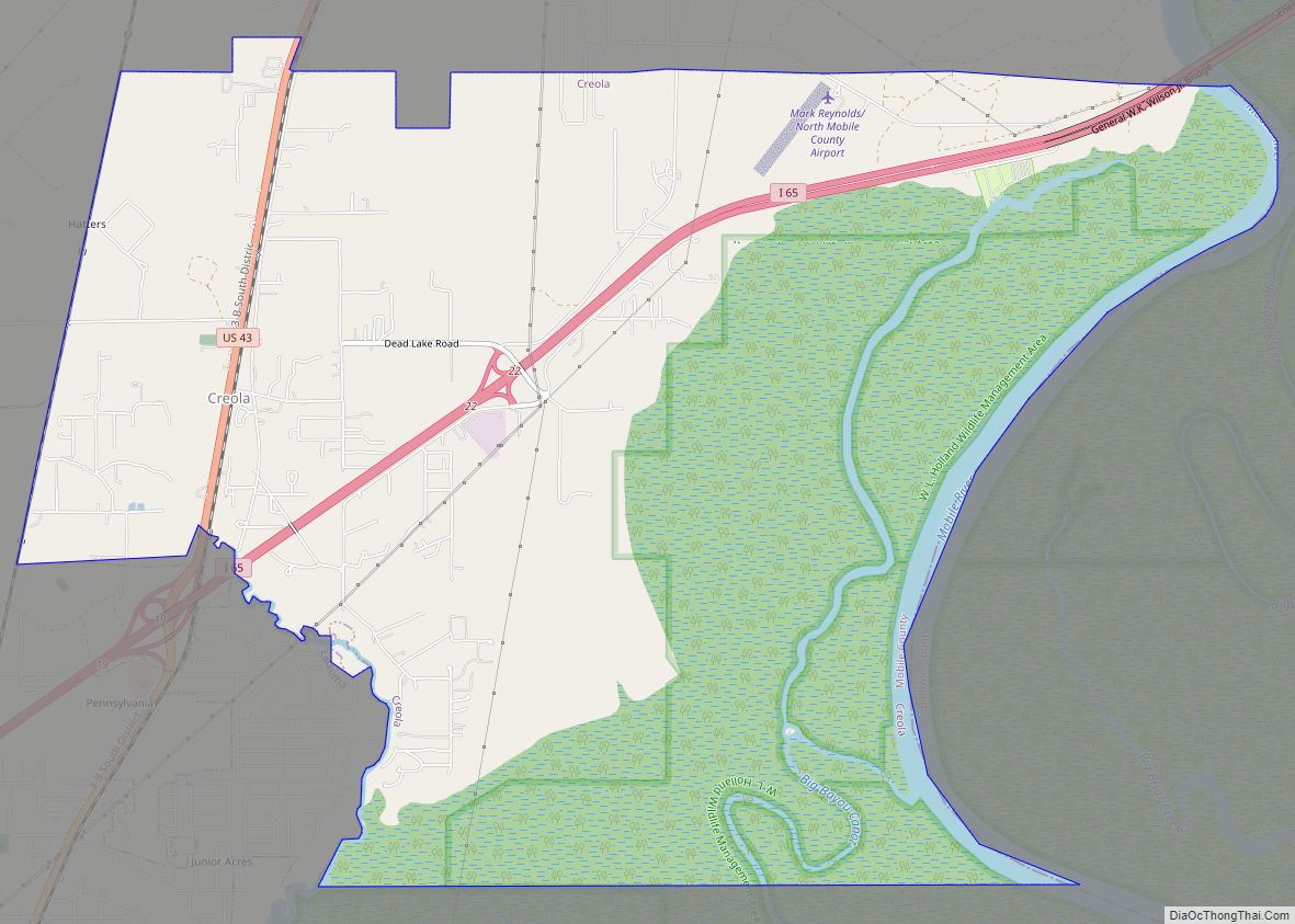
Online Interactive Map
Click on ![]() to view map in "full screen" mode.
to view map in "full screen" mode.
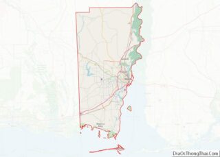
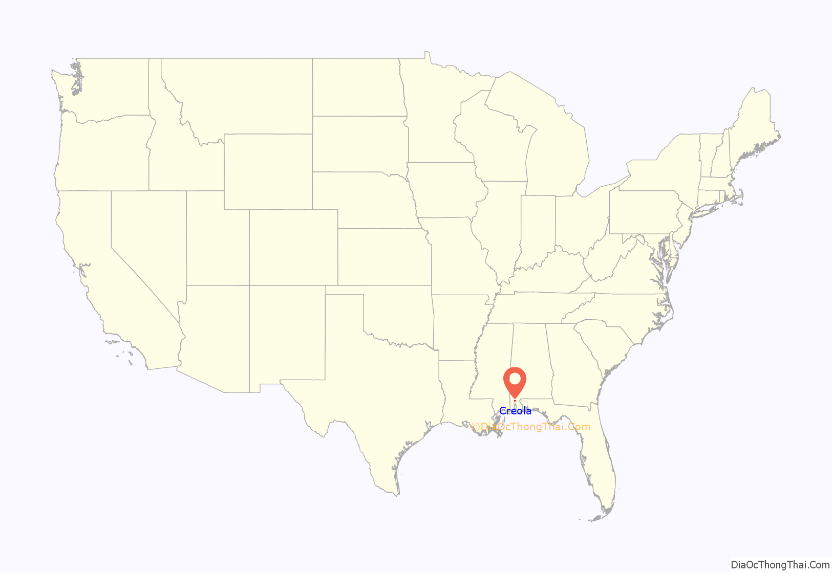
Creola location map. Where is Creola city?

History
In 2013 the governments of Creola and Saraland were taking steps in a possible merger.
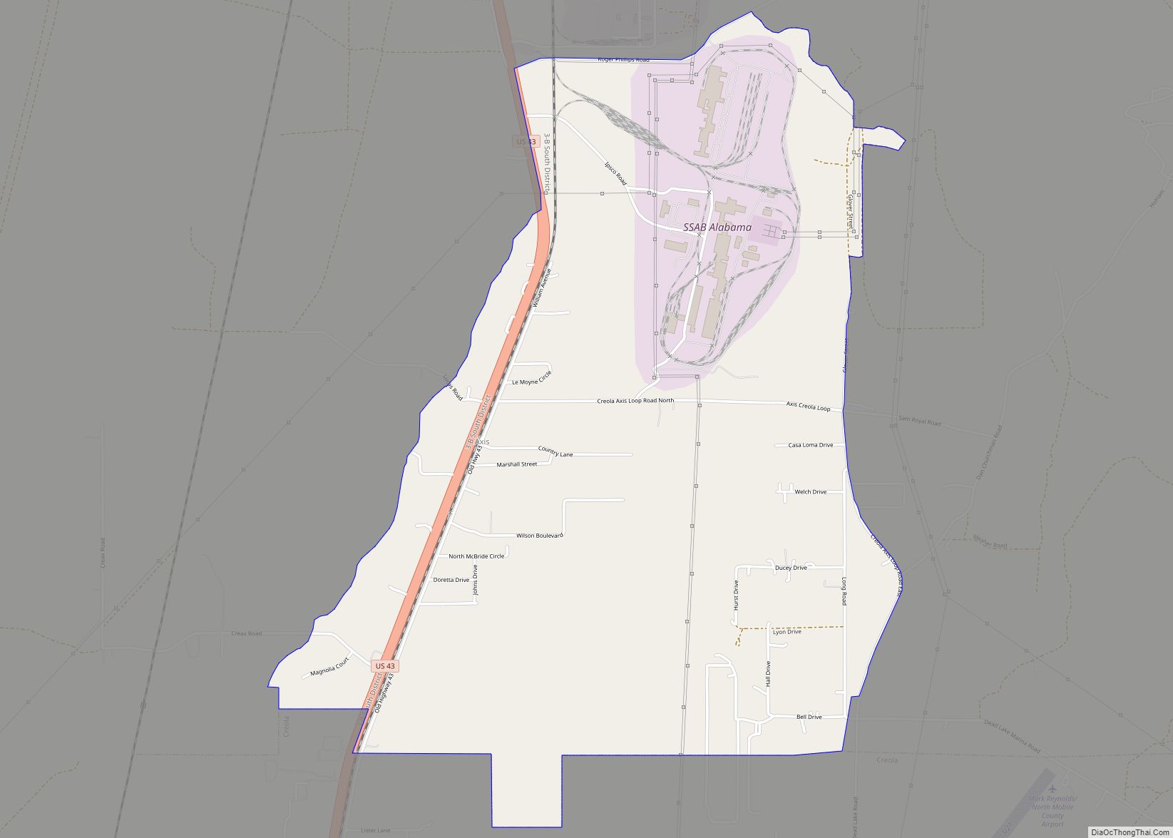
Creola Road Map

Creola city Satellite Map

Geography
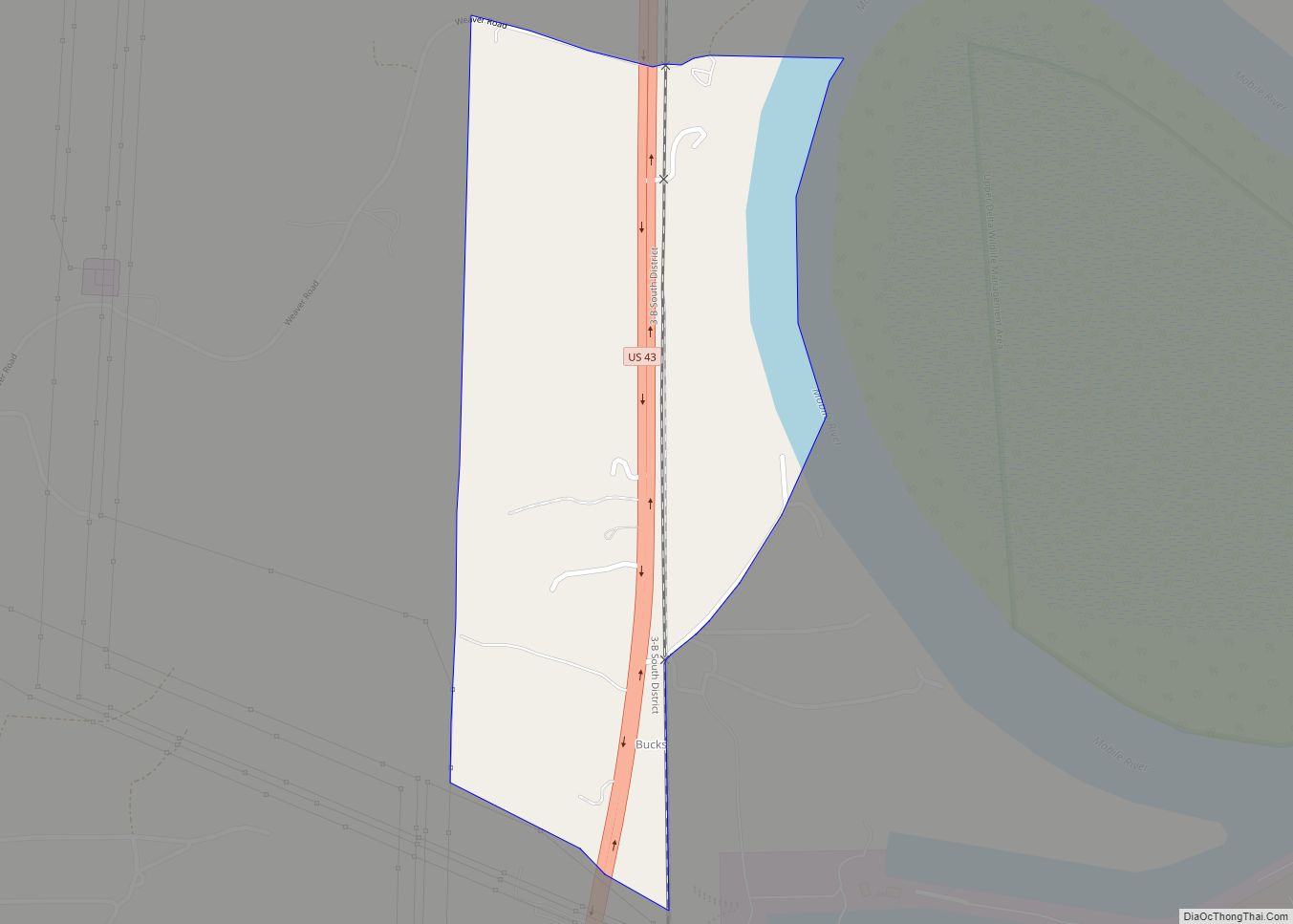
Creola is located in northeastern Mobile County at 30°53′44″N 88°0′53″W / 30.89556°N 88.01472°W / 30.89556; -88.01472 (30.895465, -88.014760). It is bordered to the west by the city of Saraland and to the southwest by the city of Satsuma. The eastern border of the city is the Mobile River, which forms the Baldwin County line. U.S. Route 43 passes through the community, leading south 14 miles (23 km) to Mobile and north the same distance to Mount Vernon. Interstate 65 crosses Creola as well, with access from Exit 19 (U.S. 43) and Exit 22 (Sailor Road). I-65 leads south to Mobile and northeast 153 miles (246 km) to Montgomery.
According to the U.S. Census Bureau, Creola has a total area of 16.7 square miles (43 km), of which 15.7 square miles (41 km) are land and 1.0 square mile (2.6 km), or 5.84%, are water.
See also
Map of Alabama State and its subdivision:- Autauga
- Baldwin
- Barbour
- Bibb
- Blount
- Bullock
- Butler
- Calhoun
- Chambers
- Cherokee
- Chilton
- Choctaw
- Clarke
- Clay
- Cleburne
- Coffee
- Colbert
- Conecuh
- Coosa
- Covington
- Crenshaw
- Cullman
- Dale
- Dallas
- De Kalb
- Elmore
- Escambia
- Etowah
- Fayette
- Franklin
- Geneva
- Greene
- Hale
- Henry
- Houston
- Jackson
- Jefferson
- Lamar
- Lauderdale
- Lawrence
- Lee
- Limestone
- Lowndes
- Macon
- Madison
- Marengo
- Marion
- Marshall
- Mobile
- Monroe
- Montgomery
- Morgan
- Perry
- Pickens
- Pike
- Randolph
- Russell
- Saint Clair
- Shelby
- Sumter
- Talladega
- Tallapoosa
- Tuscaloosa
- Walker
- Washington
- Wilcox
- Winston
- Alabama
- Alaska
- Arizona
- Arkansas
- California
- Colorado
- Connecticut
- Delaware
- District of Columbia
- Florida
- Georgia
- Hawaii
- Idaho
- Illinois
- Indiana
- Iowa
- Kansas
- Kentucky
- Louisiana
- Maine
- Maryland
- Massachusetts
- Michigan
- Minnesota
- Mississippi
- Missouri
- Montana
- Nebraska
- Nevada
- New Hampshire
- New Jersey
- New Mexico
- New York
- North Carolina
- North Dakota
- Ohio
- Oklahoma
- Oregon
- Pennsylvania
- Rhode Island
- South Carolina
- South Dakota
- Tennessee
- Texas
- Utah
- Vermont
- Virginia
- Washington
- West Virginia
- Wisconsin
- Wyoming