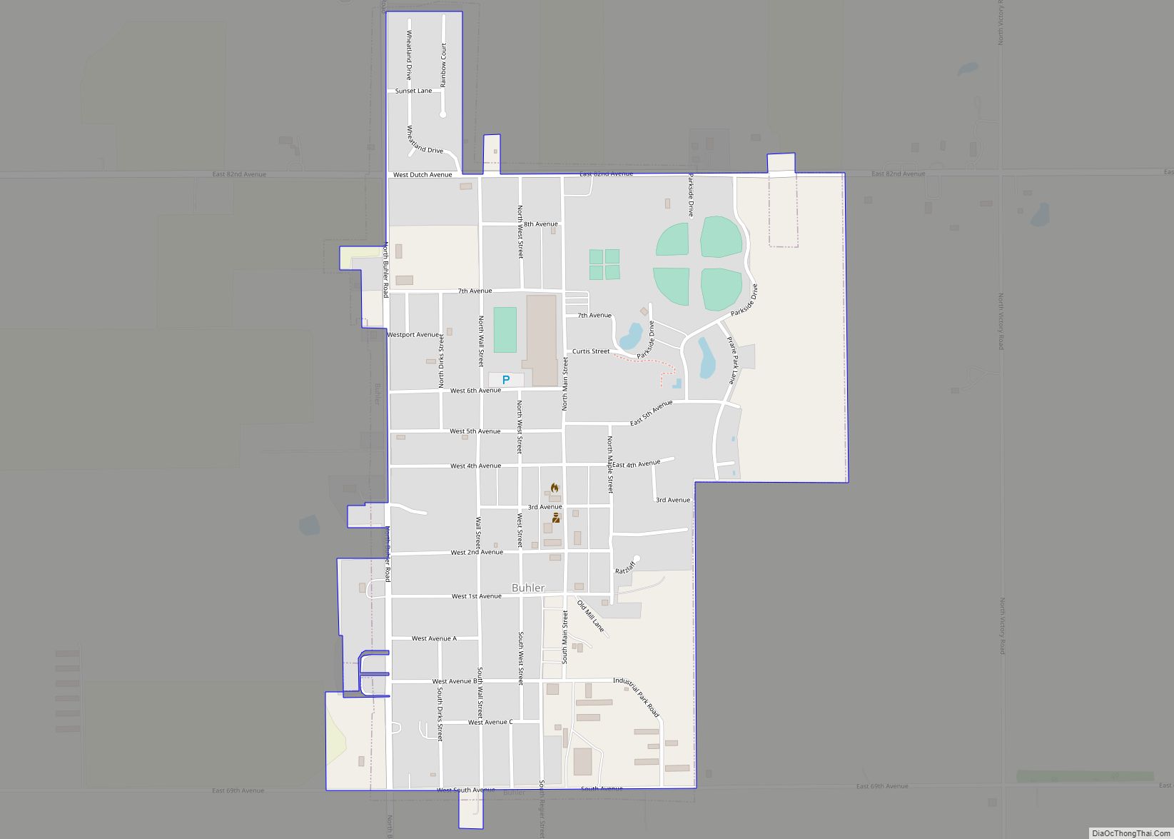
Buhler is a city in Reno County, Kansas, United States. As of the 2020 census, the population of the city was 1,325. Buhler city overview: Name: Buhler city LSAD Code: 25 LSAD Description: city (suffix) State: Kansas County: Reno County Founded: 1888 Incorporated: 1913 Elevation: 1,476 ft (450 m) Total Area: 0.71 sq mi (1.85 km²) Land Area: 0.71 sq mi (1.85 km²) ... Read more
Map of US Cities and Places
Buffalo is a city in Wilson County, Kansas, United States. As of the 2020 census, the population of the city was 217. Buffalo city overview: Name: Buffalo city LSAD Code: 25 LSAD Description: city (suffix) State: Kansas County: Wilson County Founded: 1867 Incorporated: 1898 Elevation: 935 ft (285 m) Total Area: 0.32 sq mi (0.82 km²) Land Area: 0.32 sq mi (0.82 km²) ... Read more
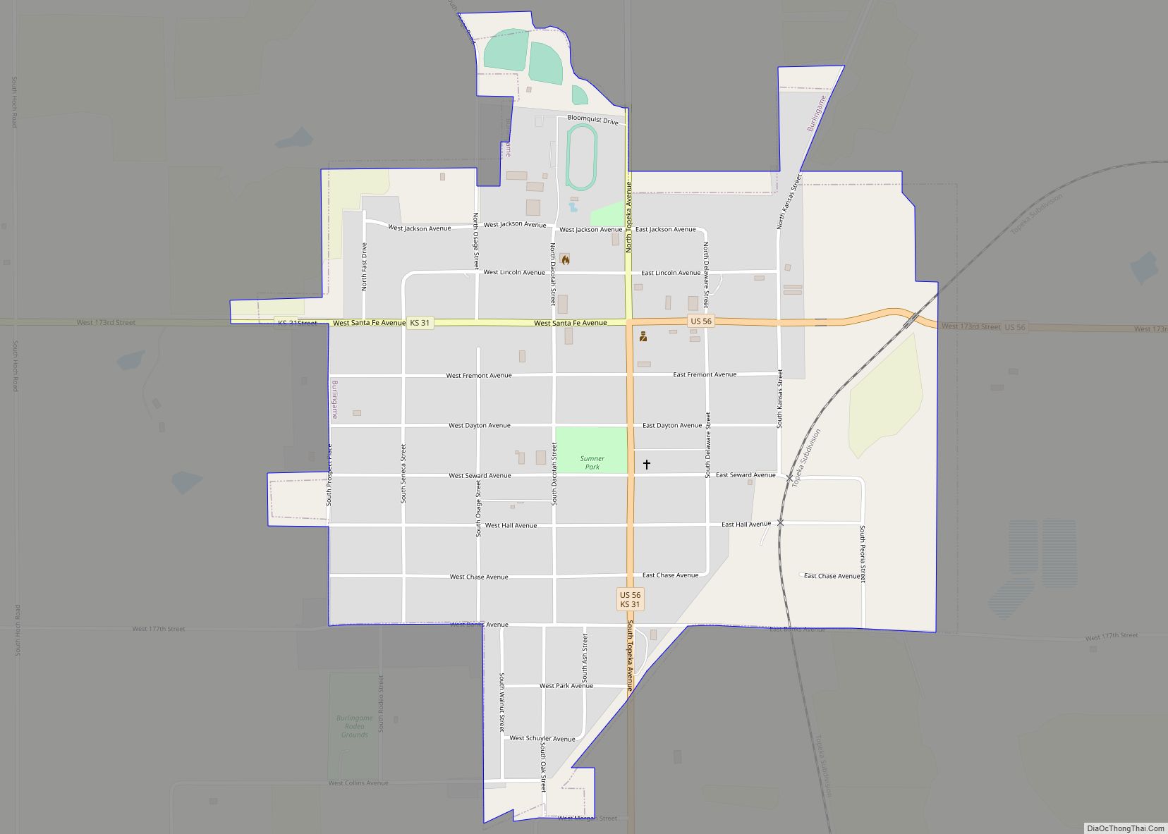
Burlingame is a city in Osage County, Kansas, United States. As of the 2020 census, the population of the city was 971. Burlingame city overview: Name: Burlingame city LSAD Code: 25 LSAD Description: city (suffix) State: Kansas County: Osage County Incorporated: 1861 Elevation: 1,073 ft (327 m) Total Area: 0.88 sq mi (2.29 km²) Land Area: 0.88 sq mi (2.29 km²) Water Area: ... Read more
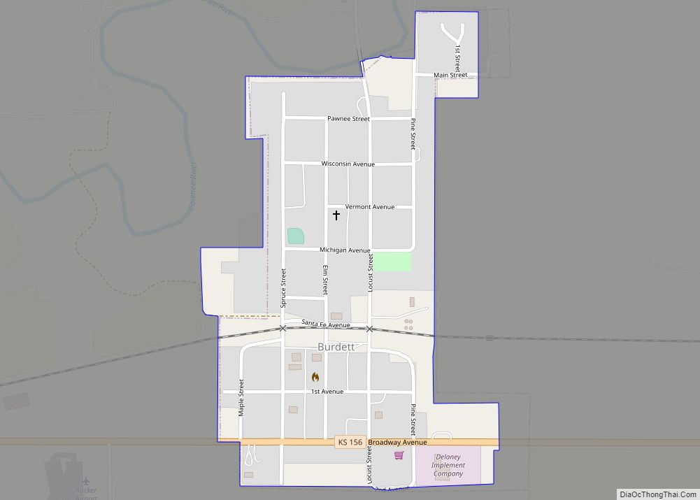
Burdett is a city in Pawnee County, Kansas, United States. As of the 2020 census, the population of the city was 228. Burdett city overview: Name: Burdett city LSAD Code: 25 LSAD Description: city (suffix) State: Kansas County: Pawnee County Founded: 1880s Incorporated: 1961 Elevation: 2,123 ft (647 m) Total Area: 0.26 sq mi (0.67 km²) Land Area: 0.26 sq mi (0.67 km²) ... Read more
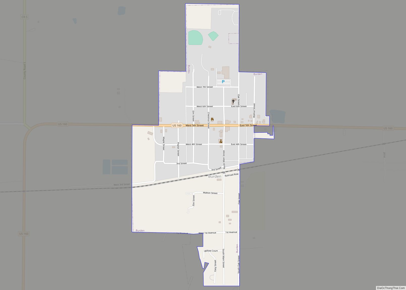
Burden is a city in Cowley County, Kansas, United States. As of the 2020 census, the population of the city was 512. Burden city overview: Name: Burden city LSAD Code: 25 LSAD Description: city (suffix) State: Kansas County: Cowley County Incorporated: 1883 Elevation: 1,378 ft (420 m) Total Area: 0.52 sq mi (1.34 km²) Land Area: 0.52 sq mi (1.34 km²) Water Area: ... Read more
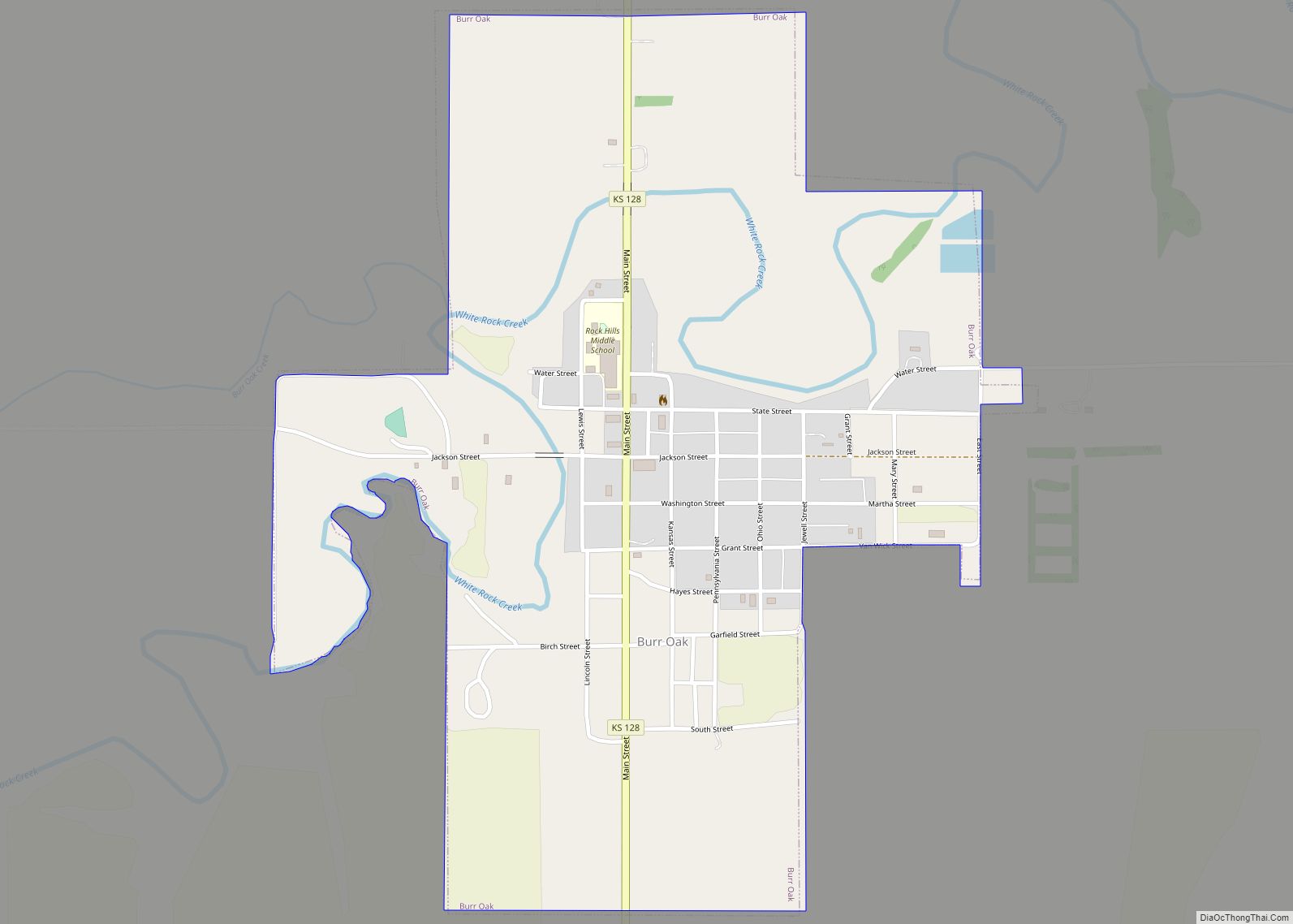
Burr Oak is a city in Jewell County, Kansas, United States. As of the 2020 census, the population of the city was 140. Burr Oak city overview: Name: Burr Oak city LSAD Code: 25 LSAD Description: city (suffix) State: Kansas County: Jewell County Founded: 1870s Incorporated: 1880 Elevation: 1,663 ft (507 m) Total Area: 0.83 sq mi (2.14 km²) Land ... Read more
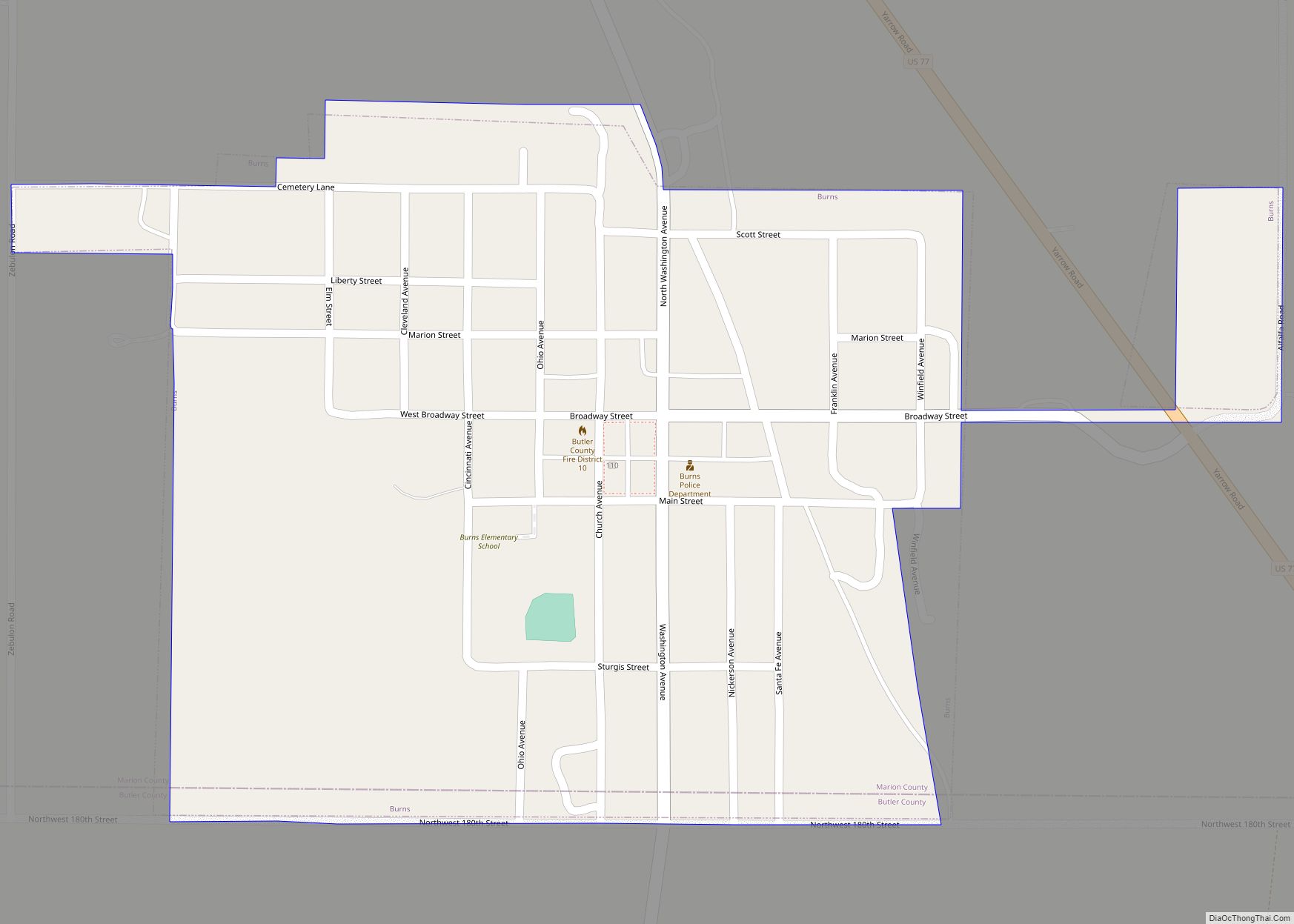
Burns is a city in Marion County, Kansas, United States. The city name came from a nearby train station, which was named prior to the city being incorporated. As of the 2020 census, the population of the city was 234. It is located between El Dorado and Florence along the west side of U.S. Route ... Read more
Burlington is a city in and the county seat of Coffey County, Kansas, United States. As of the 2020 census, the population of the city was 2,634. Burlington city overview: Name: Burlington city LSAD Code: 25 LSAD Description: city (suffix) State: Kansas County: Coffey County Founded: 1857 Incorporated: 1870 Elevation: 1,034 ft (315 m) Total Area: 2.23 sq mi ... Read more
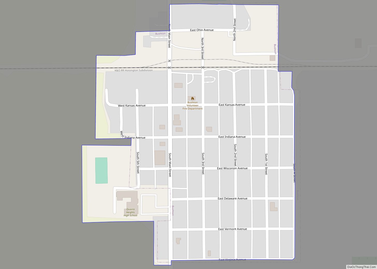
Bushton is a city in Rice County, Kansas, United States. As of the 2020 census, the population of the city was 203. Bushton city overview: Name: Bushton city LSAD Code: 25 LSAD Description: city (suffix) State: Kansas County: Rice County Founded: 1880s Incorporated: 1907 Elevation: 1,772 ft (540 m) Total Area: 0.23 sq mi (0.59 km²) Land Area: 0.23 sq mi (0.59 km²) ... Read more
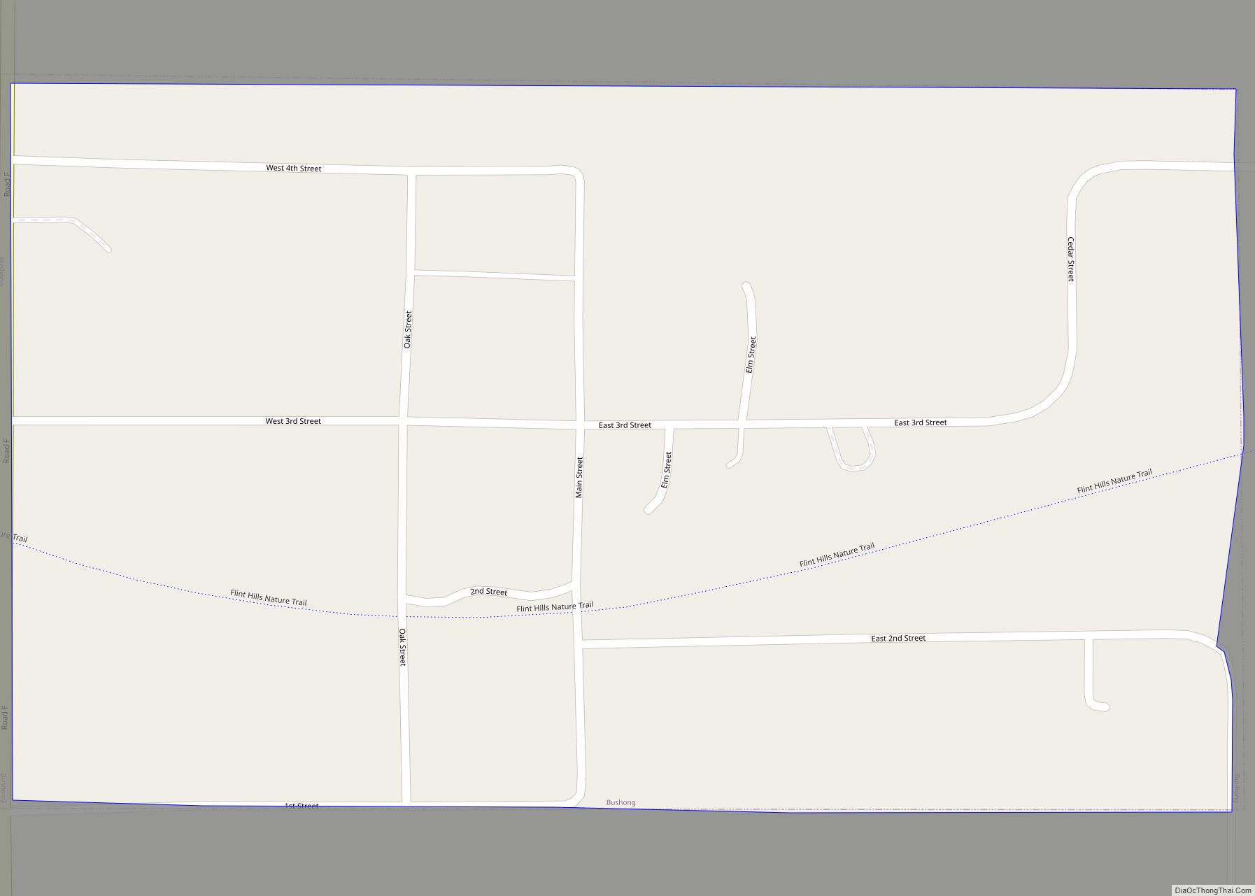
Bushong is a city in Lyon County, Kansas, United States. As of the 2020 census, the population of the city was 27. Bushong city overview: Name: Bushong city LSAD Code: 25 LSAD Description: city (suffix) State: Kansas County: Lyon County Incorporated: 1923 Elevation: 1,391 ft (424 m) Total Area: 0.15 sq mi (0.39 km²) Land Area: 0.15 sq mi (0.39 km²) Water Area: ... Read more
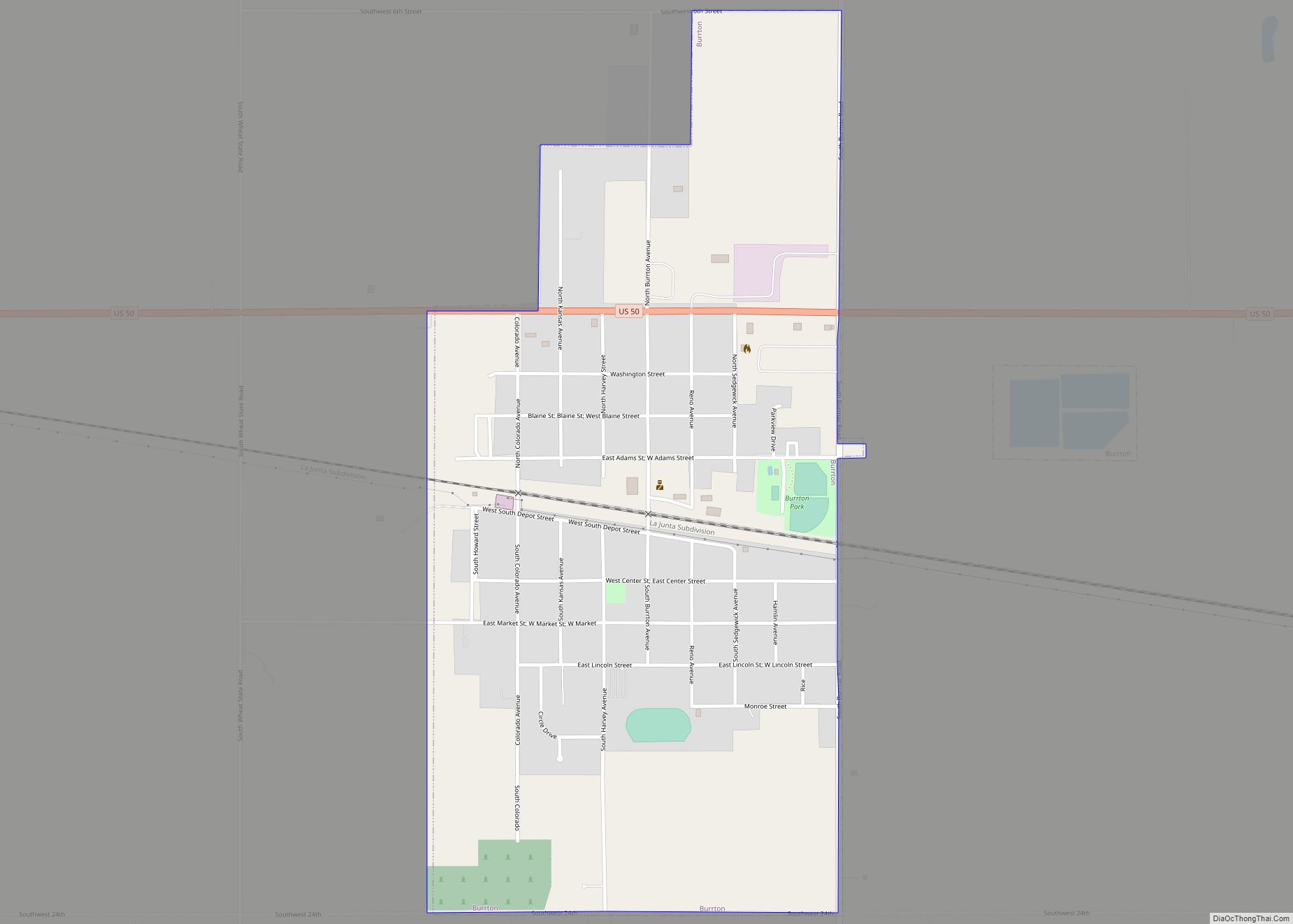
Burrton is a city in Harvey County, Kansas, United States. It is named after Isaac T. Burr, former vice-president of the Atchison, Topeka and Santa Fe Railway. As of the 2020 census, the population of the city was 861. Burrton city overview: Name: Burrton city LSAD Code: 25 LSAD Description: city (suffix) State: Kansas County: ... Read more
Cambridge is a city in Cowley County, Kansas, United States. As of the 2020 census, the population of the city was 92. Cambridge city overview: Name: Cambridge city LSAD Code: 25 LSAD Description: city (suffix) State: Kansas County: Cowley County Founded: 1880 Incorporated: 1916 Elevation: 1,250 ft (380 m) Total Area: 0.17 sq mi (0.45 km²) Land Area: 0.17 sq mi (0.45 km²) ... Read more
