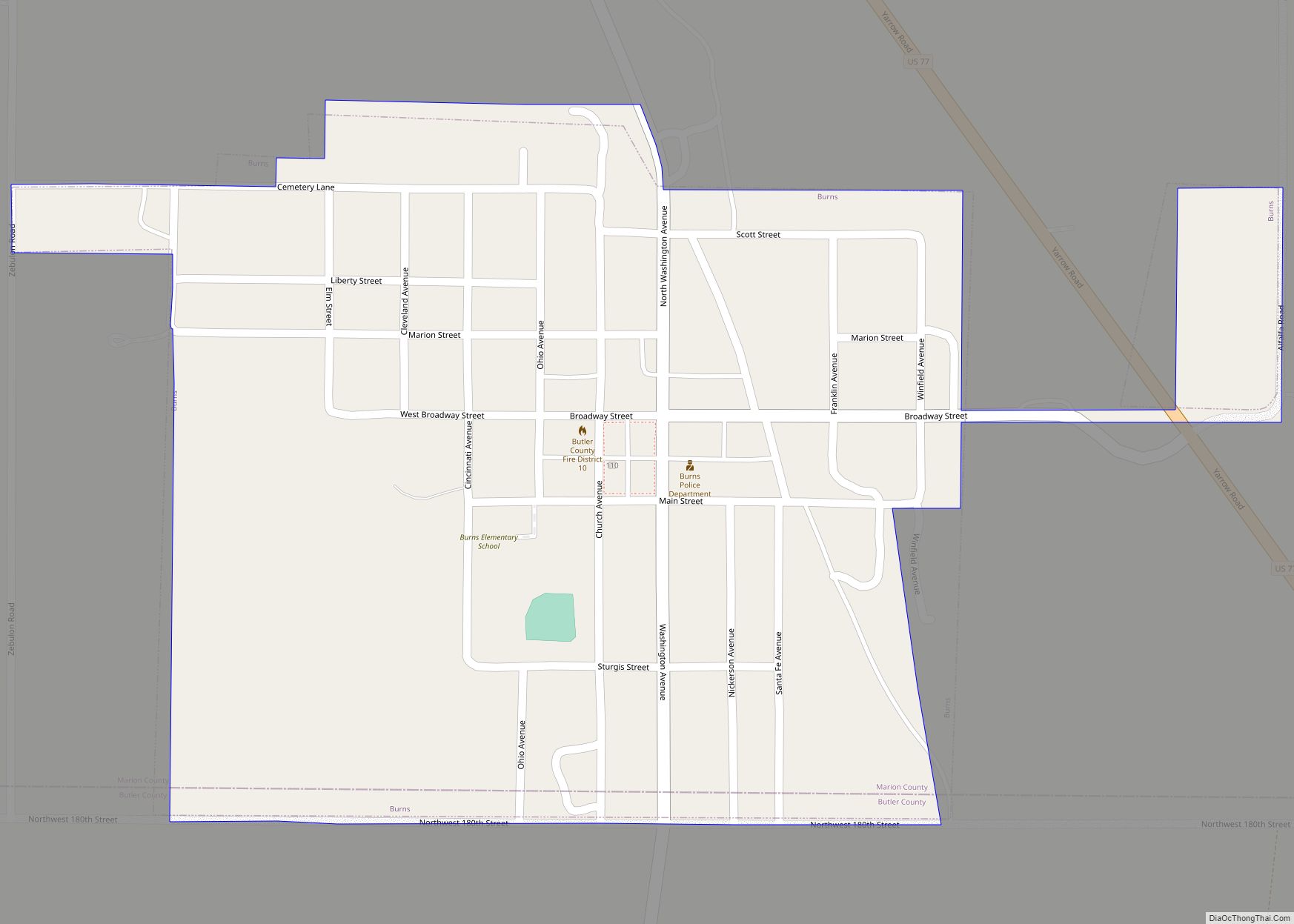
Burns is a city in Marion County, Kansas, United States. The city name came from a nearby train station, which was named prior to the city being incorporated. As of the 2020 census, the population of the city was 234. It is located between El Dorado and Florence along the west side of U.S. Route 77 highway. The south edge of the city is the border of Marion and Butler counties.
| Name: | Burns city |
|---|---|
| LSAD Code: | 25 |
| LSAD Description: | city (suffix) |
| State: | Kansas |
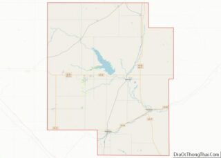
| County: | Marion County |
| Incorporated: | 1905 |
| Elevation: | 1,499 ft (457 m) |
| Total Area: | 0.34 sq mi (0.89 km²) |
| Land Area: | 0.34 sq mi (0.89 km²) |
| Water Area: | 0.00 sq mi (0.00 km²) |
| Total Population: | 234 |
| Population Density: | 690/sq mi (260/km²) |
| ZIP code: | 66840 |
| Area code: | 620 |
| FIPS code: | 2009450 |
| Website: | burnsks.com |
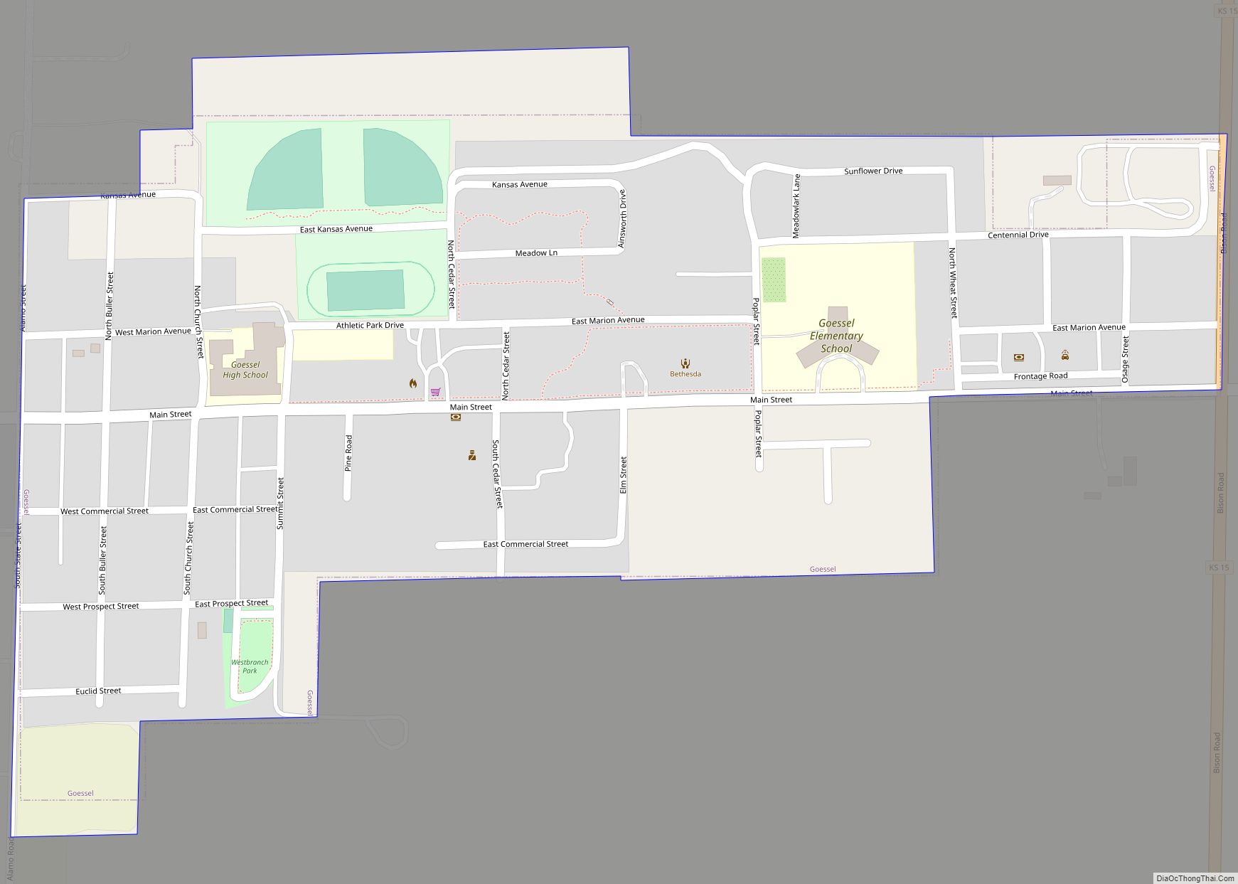
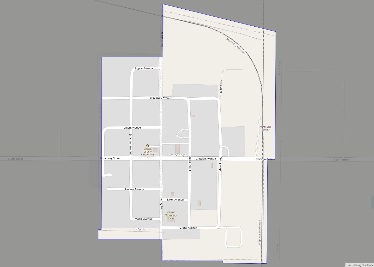
Online Interactive Map
Click on ![]() to view map in "full screen" mode.
to view map in "full screen" mode.
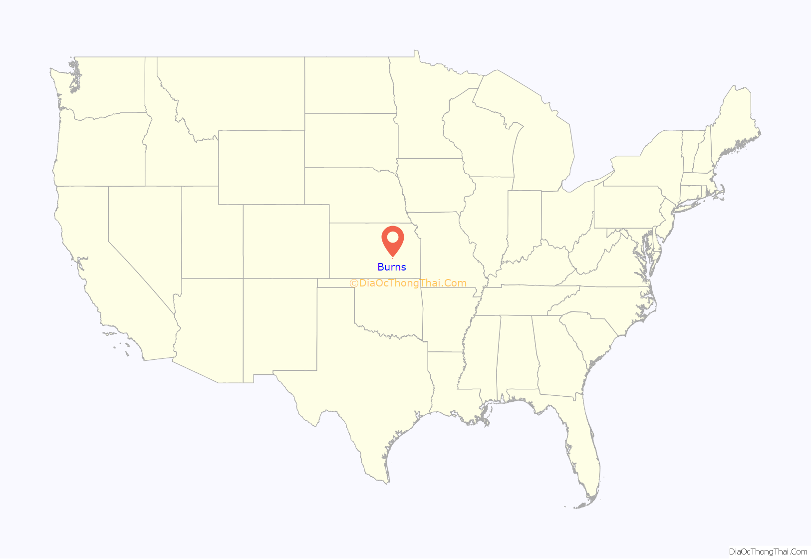
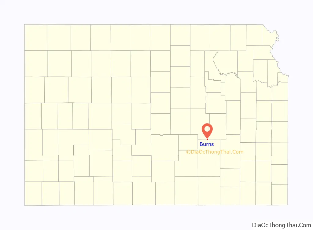
Burns location map. Where is Burns city?
History
Early history
For many millennia, the Great Plains of North America was inhabited by nomadic Native Americans. From the 16th century to 18th century, the Kingdom of France claimed ownership of large parts of North America. In 1762, after the French and Indian War, France secretly ceded New France to Spain, per the Treaty of Fontainebleau.
19th century
In 1802, Spain returned most of the land to France. In 1803, most of the land for modern day Kansas was acquired by the United States from France as part of the 828,000 square mile Louisiana Purchase for 2.83 cents per acre.
In 1854, the Kansas Territory was organized, then in 1861 Kansas became the 34th U.S. state. In 1855, Marion County was established within the Kansas Territory, which included the land for modern day Burns.
In 1877, the Florence, El Dorado, and Walnut Valley Railroad Company built a branch line from Florence to El Dorado, and a station called Burns was built north of the present city location. In 1881, the rail line was extended to Douglass, then later to Arkansas City. The line was leased and operated by the Atchison, Topeka and Santa Fe Railway. The line from Florence through Burns to El Dorado was abandoned in 1942. The original branch line connected Florence through El Dorado to Arkansas City.
At the present location, a city named St. Francis was platted in August 1880. When the town incorporated, they discovered the official city name of St. Francis was already taken, so they changed the name to be the same as the nearby Burns train station, then soon afterward the station was moved into the new city. The original station was named after a railroad company official.
A post office was established in Burns on November 30, 1880.
20th century
Burns High School was closed in 1965 as a result of statewide school district consolidation. Burns Elementary & Junior High School closed in 1997 due to the lack of funds. Education is currently provided by Peabody–Burns USD 398 public school district in Peabody.
21st century
In 2010, the Keystone-Cushing Pipeline (Phase II) was constructed 6.5 miles west of Burns, north to south through Marion County, with much controversy over road damage, tax exemption, and environmental concerns (if a leak ever occurs). A pumping station named Burns was built 2 miles north of Potwin.
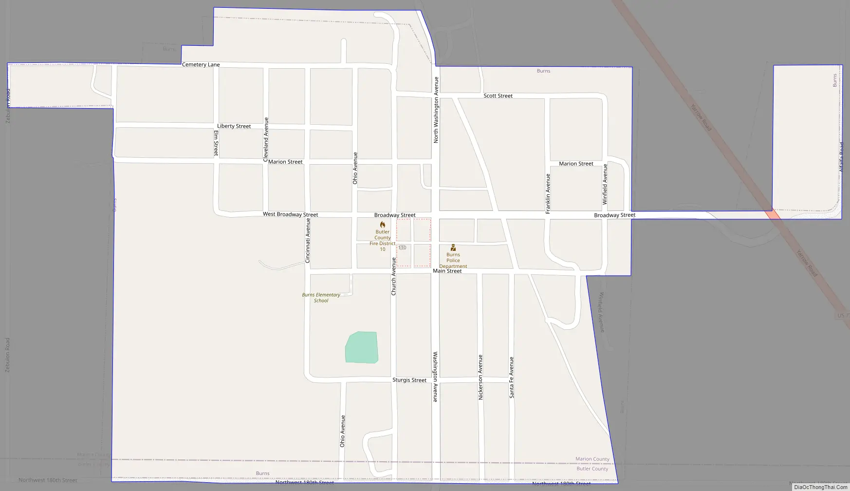
Burns Road Map
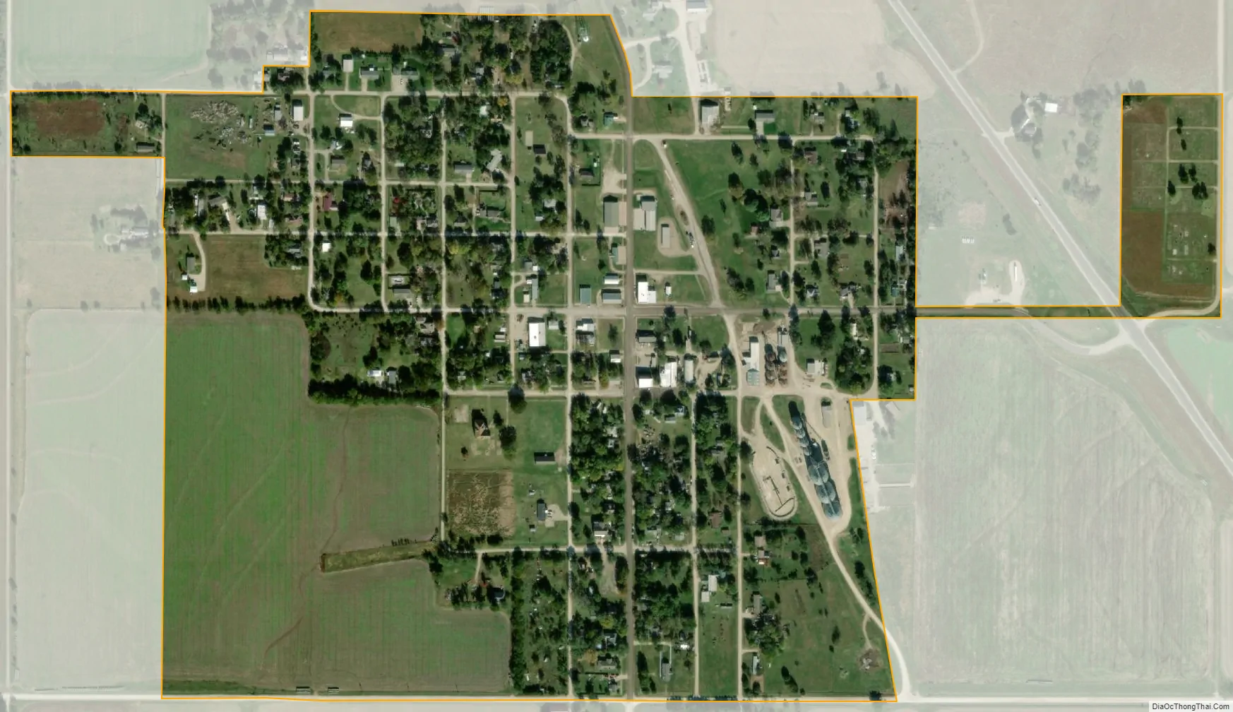
Burns city Satellite Map
Geography
Burns is located at coordinates 38.0902957, -96.8864144 in the scenic Flint Hills and Great Plains of the state of Kansas. According to the United States Census Bureau, the city has a total area of 0.35 square miles (0.91 km), all of it land. The south city limits of Burns is the county line shared between Marion County and Butler County.
Climate
The climate in this area is characterized by hot, humid summers and generally mild to cool winters. According to the Köppen Climate Classification system, Burns has a humid subtropical climate, abbreviated “Cfa” on climate maps.
See also
Map of Kansas State and its subdivision:- Allen
- Anderson
- Atchison
- Barber
- Barton
- Bourbon
- Brown
- Butler
- Chase
- Chautauqua
- Cherokee
- Cheyenne
- Clark
- Clay
- Cloud
- Coffey
- Comanche
- Cowley
- Crawford
- Decatur
- Dickinson
- Doniphan
- Douglas
- Edwards
- Elk
- Ellis
- Ellsworth
- Finney
- Ford
- Franklin
- Geary
- Gove
- Graham
- Grant
- Gray
- Greeley
- Greenwood
- Hamilton
- Harper
- Harvey
- Haskell
- Hodgeman
- Jackson
- Jefferson
- Jewell
- Johnson
- Kearny
- Kingman
- Kiowa
- Labette
- Lane
- Leavenworth
- Lincoln
- Linn
- Logan
- Lyon
- Marion
- Marshall
- McPherson
- Meade
- Miami
- Mitchell
- Montgomery
- Morris
- Morton
- Nemaha
- Neosho
- Ness
- Norton
- Osage
- Osborne
- Ottawa
- Pawnee
- Phillips
- Pottawatomie
- Pratt
- Rawlins
- Reno
- Republic
- Rice
- Riley
- Rooks
- Rush
- Russell
- Saline
- Scott
- Sedgwick
- Seward
- Shawnee
- Sheridan
- Sherman
- Smith
- Stafford
- Stanton
- Stevens
- Sumner
- Thomas
- Trego
- Wabaunsee
- Wallace
- Washington
- Wichita
- Wilson
- Woodson
- Wyandotte
- Alabama
- Alaska
- Arizona
- Arkansas
- California
- Colorado
- Connecticut
- Delaware
- District of Columbia
- Florida
- Georgia
- Hawaii
- Idaho
- Illinois
- Indiana
- Iowa
- Kansas
- Kentucky
- Louisiana
- Maine
- Maryland
- Massachusetts
- Michigan
- Minnesota
- Mississippi
- Missouri
- Montana
- Nebraska
- Nevada
- New Hampshire
- New Jersey
- New Mexico
- New York
- North Carolina
- North Dakota
- Ohio
- Oklahoma
- Oregon
- Pennsylvania
- Rhode Island
- South Carolina
- South Dakota
- Tennessee
- Texas
- Utah
- Vermont
- Virginia
- Washington
- West Virginia
- Wisconsin
- Wyoming