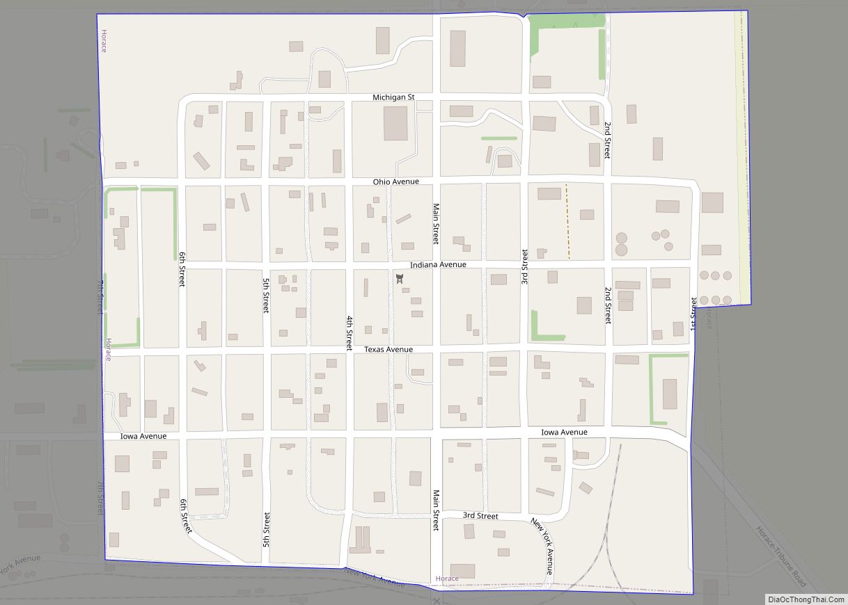
Horace is a city in Greeley County, Kansas, United States. As of the 2020 census, the population of the city was 102. Horace city overview: Name: Horace city LSAD Code: 25 LSAD Description: city (suffix) State: Kansas County: Greeley County Founded: 1886 Incorporated: 1887 Elevation: 3,642 ft (1,110 m) Total Area: 0.24 sq mi (0.63 km²) Land Area: 0.24 sq mi (0.63 km²) ... Read more
Map of US Cities and Places
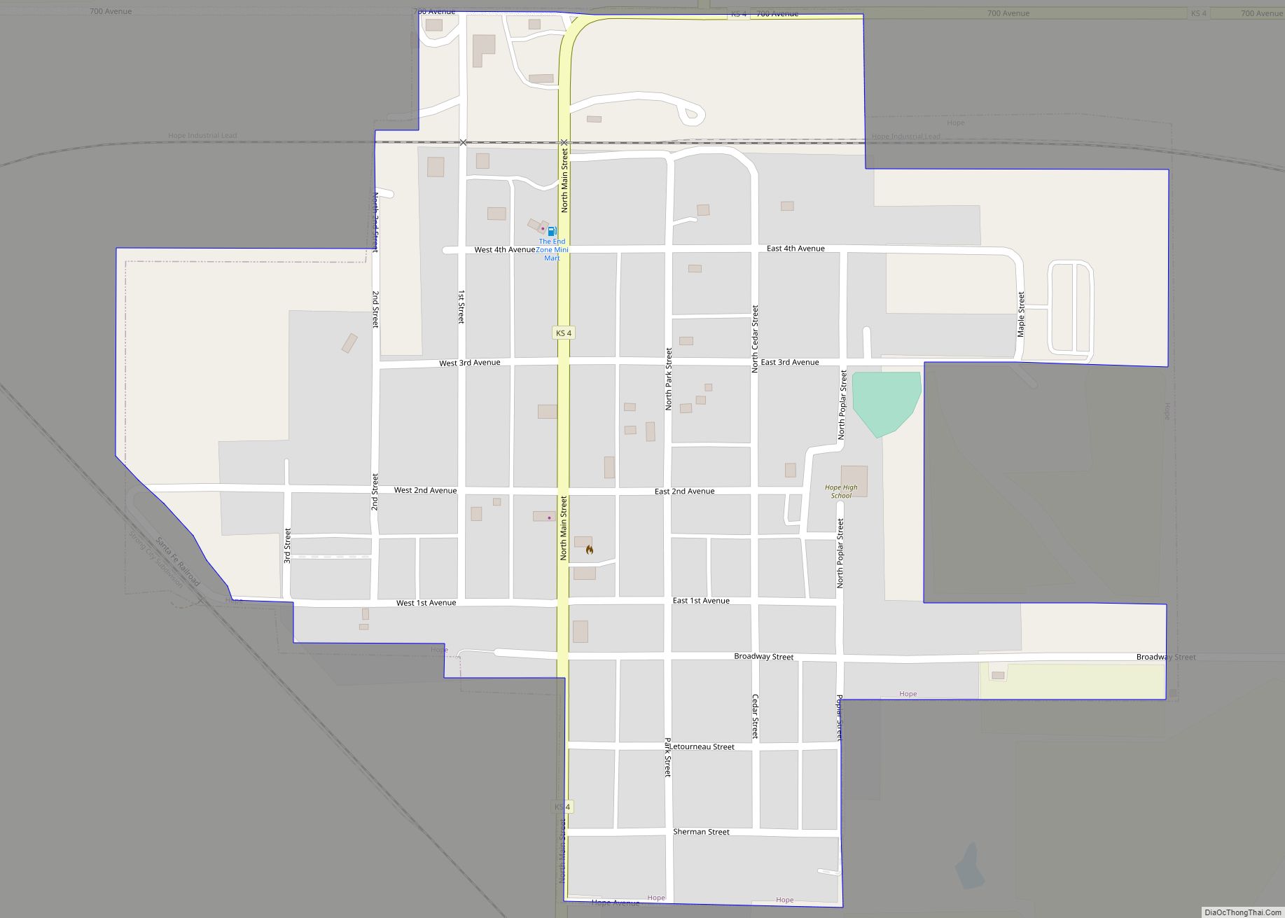
Hope is a city in southern Dickinson County, Kansas, United States. As of the 2020 census, the population of the city was 317. Hope city overview: Name: Hope city LSAD Code: 25 LSAD Description: city (suffix) State: Kansas County: Dickinson County Founded: 1871 Incorporated: 1886 Elevation: 1,398 ft (426 m) Total Area: 0.39 sq mi (1.01 km²) Land Area: 0.39 sq mi ... Read more
Home (also called Home City) is an unincorporated community in southern Franklin Township, Marshall County, Kansas, United States. As of the 2020 census, the population of the community and nearby areas was 154. It lies along U.S. Route 36 – the Pony Express Highway – and a Union Pacific rail line, east of the city ... Read more
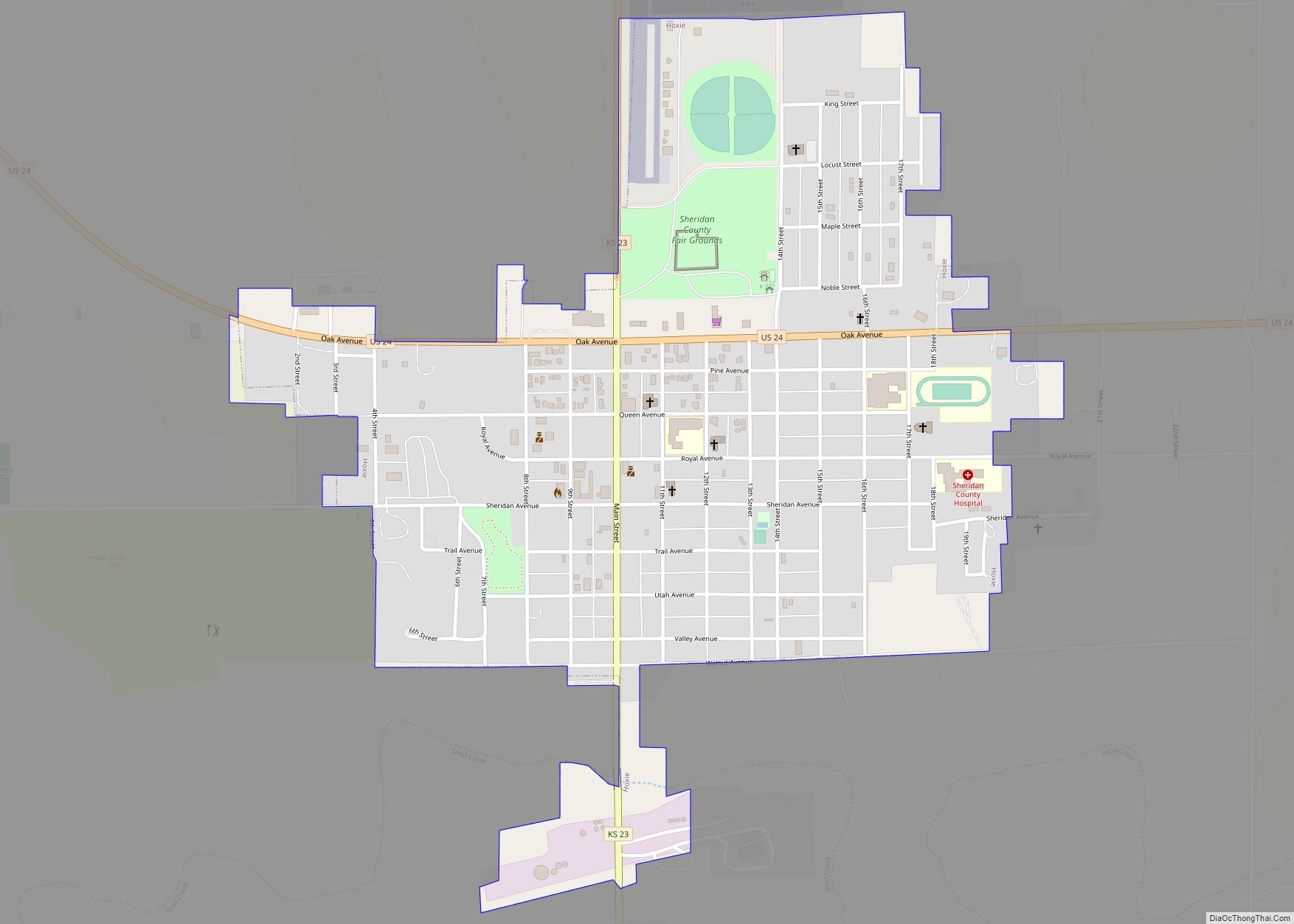
Hoxie is a city in and the county seat of Sheridan County, Kansas, United States. As of the 2020 census, the population of the city was 1,211. Hoxie city overview: Name: Hoxie city LSAD Code: 25 LSAD Description: city (suffix) State: Kansas County: Sheridan County Founded: 1886 Incorporated: 1886 Elevation: 2,713 ft (827 m) Total Area: 0.86 sq mi ... Read more
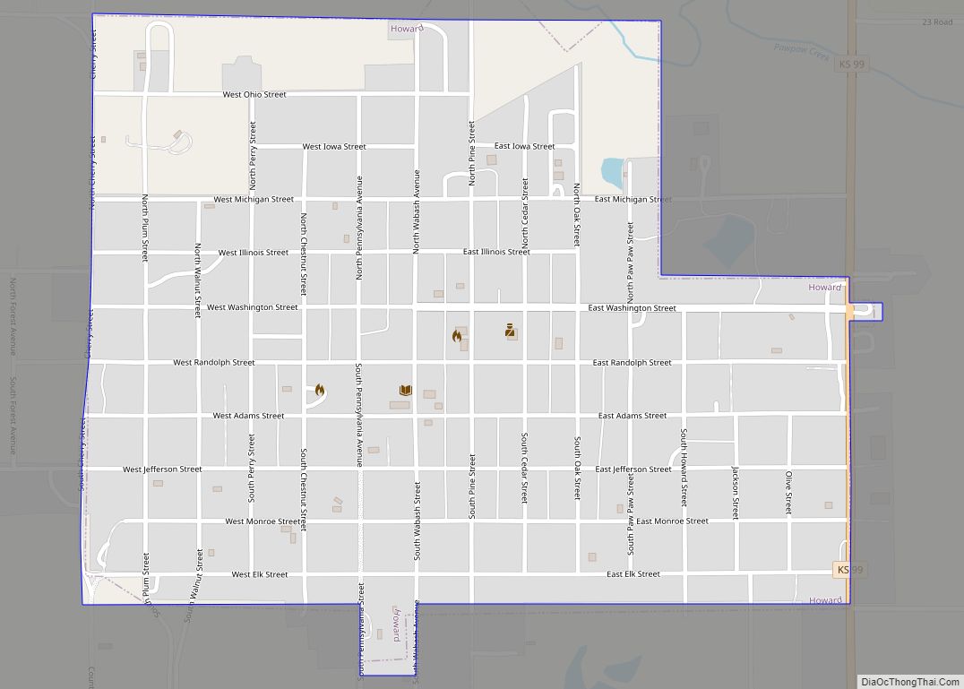
Howard is a city in and the county seat of Elk County, Kansas, United States. As of the 2020 census, the population of the city was 570. Howard city overview: Name: Howard city LSAD Code: 25 LSAD Description: city (suffix) State: Kansas County: Elk County Founded: 1870 Incorporated: 1877 Elevation: 1,037 ft (316 m) Total Area: 0.69 sq mi ... Read more
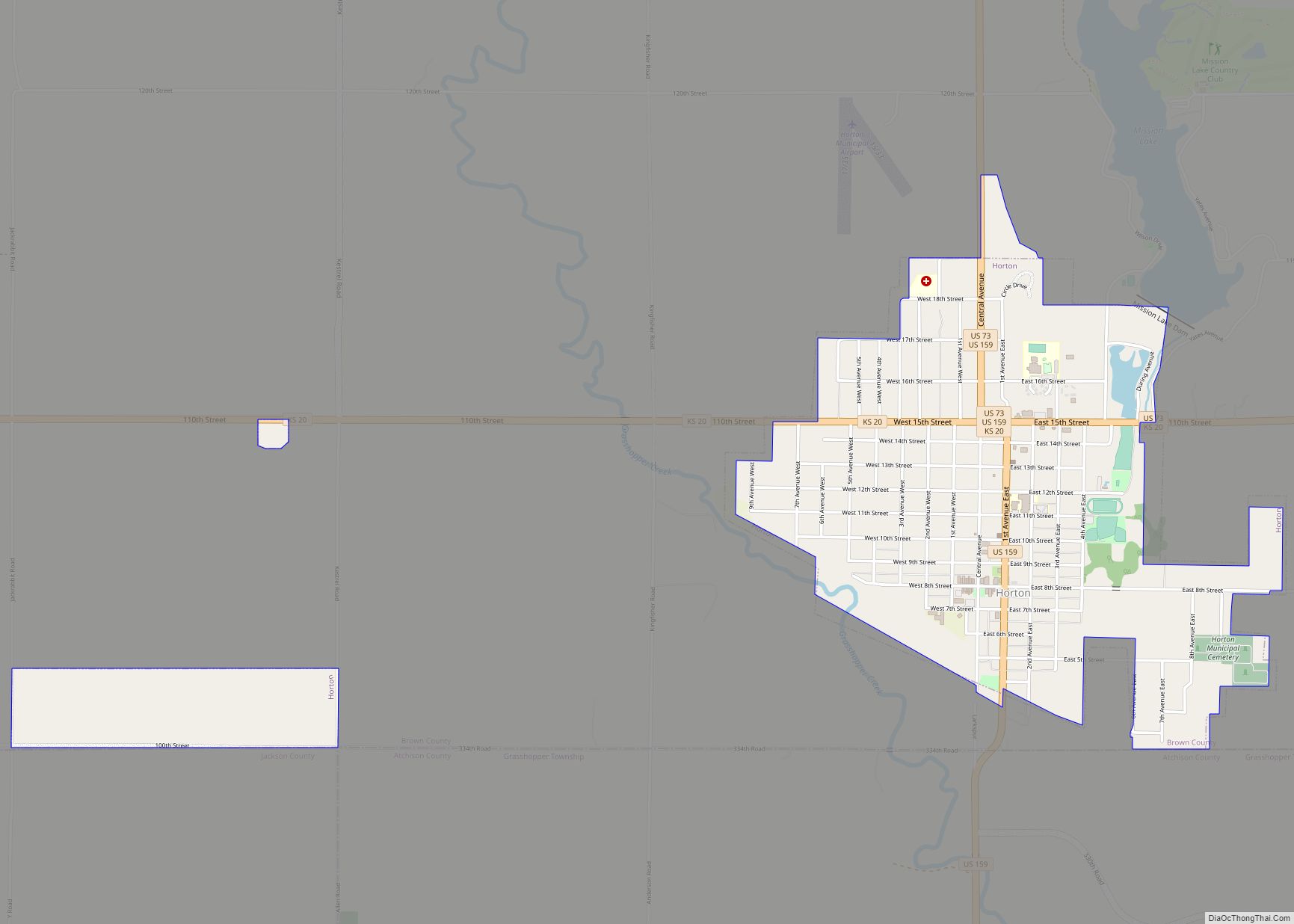
Horton is a city in Brown County, Kansas, United States. As of the 2020 census, the population of the city was 1,523. Horton city overview: Name: Horton city LSAD Code: 25 LSAD Description: city (suffix) State: Kansas County: Brown County Founded: 1886 Incorporated: 1887 Elevation: 1,086 ft (331 m) Total Area: 1.68 sq mi (4.36 km²) Land Area: 1.67 sq mi (4.32 km²) ... Read more
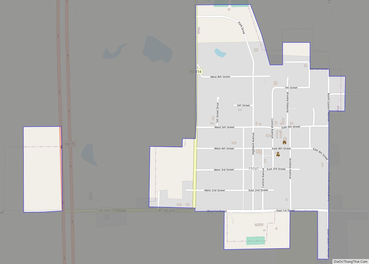
Hoyt is a city in Jackson County, Kansas, United States. As of the 2020 census, the population of the city was 593. Hoyt city overview: Name: Hoyt city LSAD Code: 25 LSAD Description: city (suffix) State: Kansas County: Jackson County Founded: 1886 Incorporated: 1909 Elevation: 1,178 ft (359 m) Total Area: 0.47 sq mi (1.22 km²) Land Area: 0.47 sq mi (1.22 km²) ... Read more
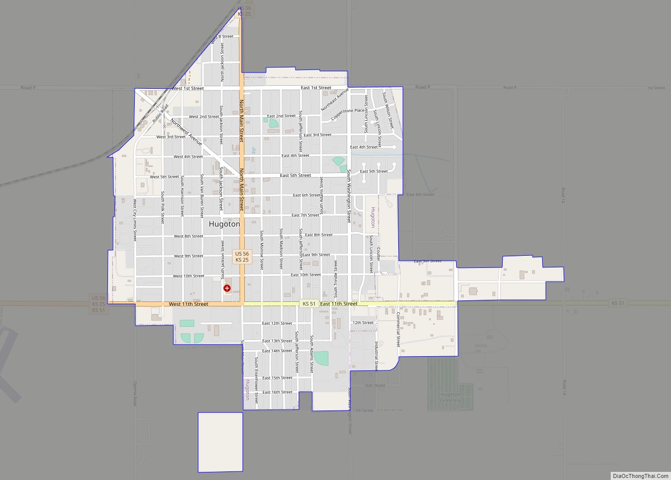
Hugoton /hjuːɡətən/ is a city in and the county seat of Stevens County, Kansas, United States. As of the 2020 census, the population of the city was 3,747. Hugoton city overview: Name: Hugoton city LSAD Code: 25 LSAD Description: city (suffix) State: Kansas County: Stevens County Founded: 1885 Incorporated: 1910 Elevation: 3,114 ft (949 m) Total Area: ... Read more
Hudson is a city in Stafford County, Kansas, United States. As of the 2020 census, the population of the city was 95. Hudson city overview: Name: Hudson city LSAD Code: 25 LSAD Description: city (suffix) State: Kansas County: Stafford County Founded: 1880s Incorporated: 1905 Elevation: 1,873 ft (571 m) Total Area: 0.13 sq mi (0.32 km²) Land Area: 0.13 sq mi (0.32 km²) ... Read more
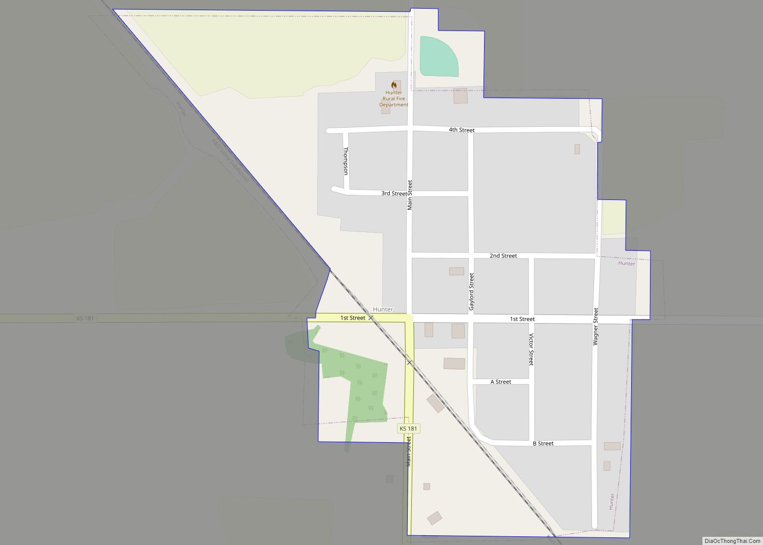
Hunter is a city in Mitchell County, Kansas, United States. As of the 2020 census, the population of the city was 51. Hunter city overview: Name: Hunter city LSAD Code: 25 LSAD Description: city (suffix) State: Kansas County: Mitchell County Founded: 1890s Incorporated: 1918 Elevation: 1,598 ft (487 m) Total Area: 0.21 sq mi (0.54 km²) Land Area: 0.21 sq mi (0.54 km²) ... Read more
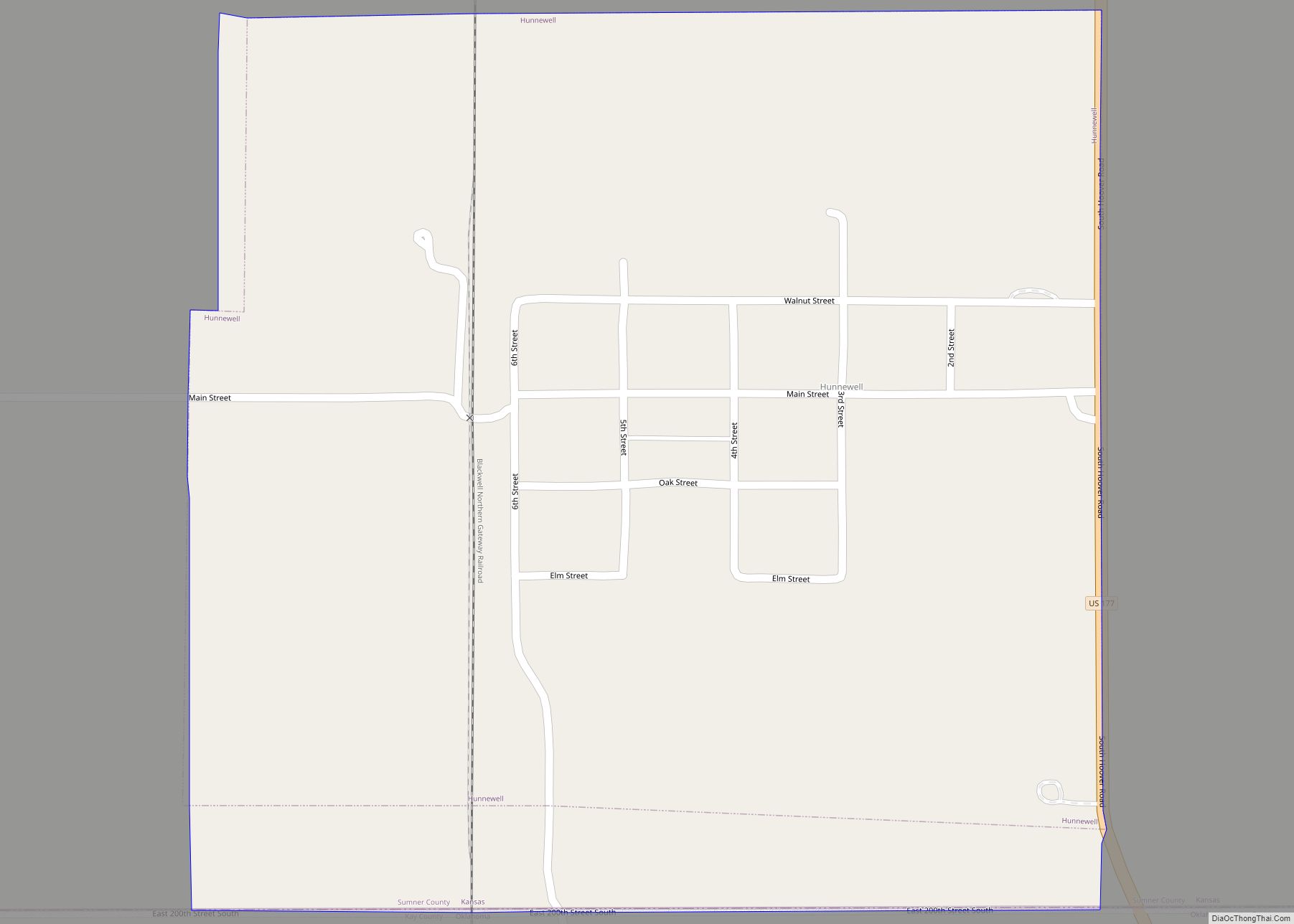
Hunnewell is a city in Sumner County, Kansas, United States. As of the 2020 census, the population of the city was 44. Hunnewell city overview: Name: Hunnewell city LSAD Code: 25 LSAD Description: city (suffix) State: Kansas County: Sumner County Founded: 1880 Incorporated: 1882 Elevation: 1,112 ft (339 m) Total Area: 0.55 sq mi (1.43 km²) Land Area: 0.55 sq mi (1.43 km²) ... Read more
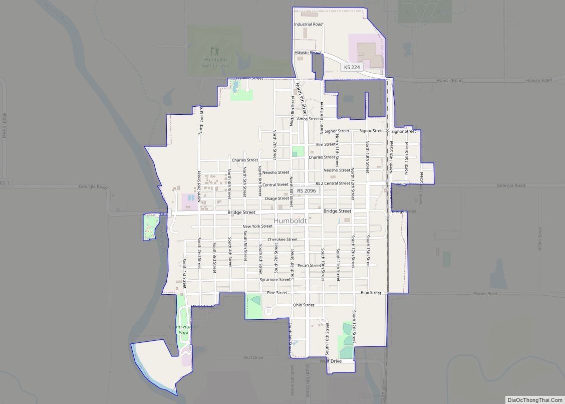
Humboldt is a city in Allen County, Kansas, United States. It is situated along the Neosho River. As of the 2020 census, the population of the city was 1,847. Humboldt city overview: Name: Humboldt city LSAD Code: 25 LSAD Description: city (suffix) State: Kansas County: Allen County Founded: 1857 Incorporated: 1878 Elevation: 978 ft (298 m) Total ... Read more
