Hugoton /hjuːɡətən/ is a city in and the county seat of Stevens County, Kansas, United States. As of the 2020 census, the population of the city was 3,747.
| Name: | Hugoton city |
|---|---|
| LSAD Code: | 25 |
| LSAD Description: | city (suffix) |
| State: | Kansas |
| County: | Stevens County |
| Founded: | 1885 |
| Incorporated: | 1910 |
| Elevation: | 3,114 ft (949 m) |
| Total Area: | 2.08 sq mi (5.39 km²) |
| Land Area: | 2.08 sq mi (5.39 km²) |
| Water Area: | 0.00 sq mi (0.00 km²) |
| Total Population: | 3,747 |
| Population Density: | 1,800/sq mi (700/km²) |
| ZIP code: | 67951 |
| Area code: | 620 |
| FIPS code: | 2033425 |
| Website: | cityofhugoton.com |
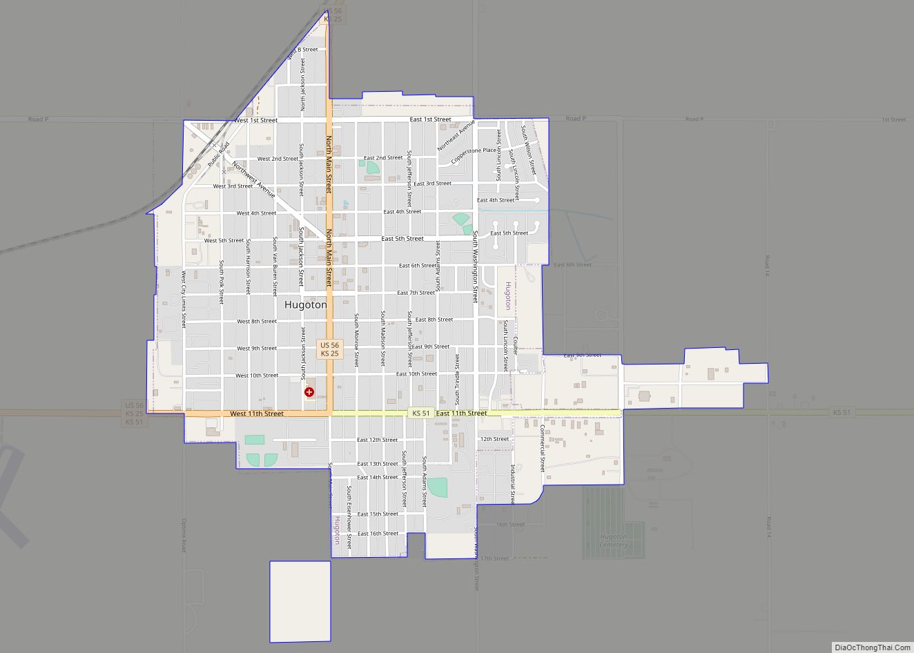
Online Interactive Map
Click on ![]() to view map in "full screen" mode.
to view map in "full screen" mode.
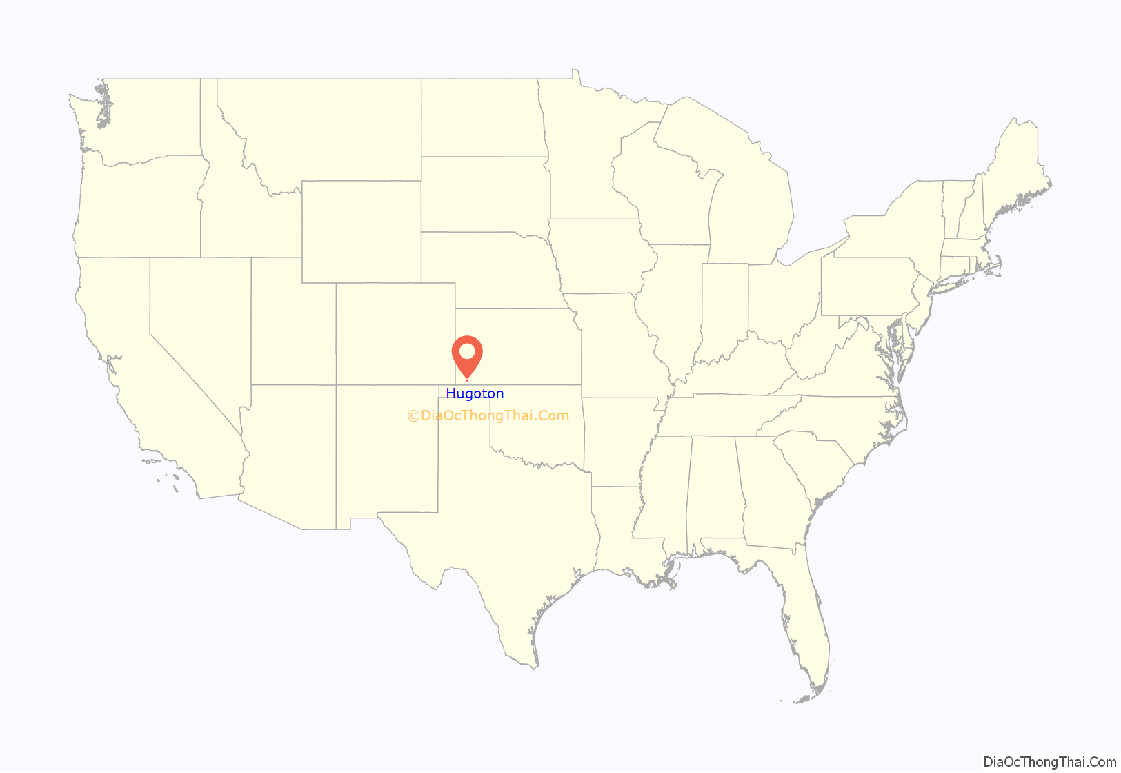
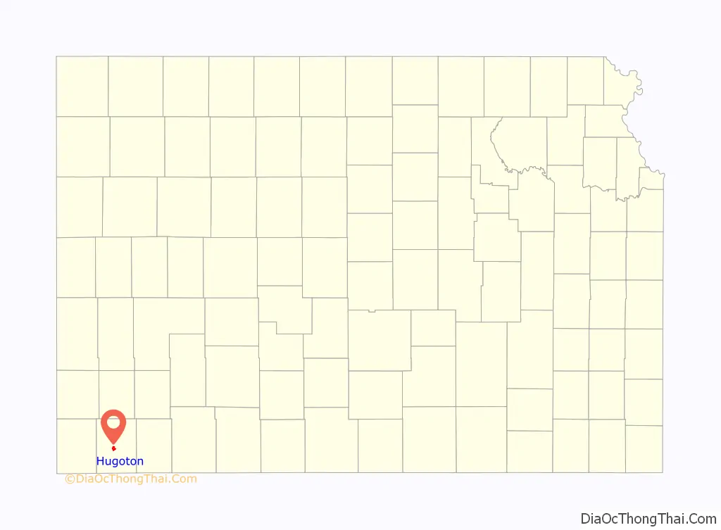
Hugoton location map. Where is Hugoton city?
History
Settlers from McPherson, Kansas established a settlement in what was then west-central Seward County, Kansas in 1885. They originally named this settlement Hugo in honor of French writer Victor Hugo, but then changed its name to Hugoton to distinguish it from Hugo, Colorado. Hugoton’s first church, Hugoton United Methodist, was also the first in Stevens County and was founded in 1886; it is still active as of 2019. The first post office in Hugoton was established in April 1886.
In 1886, the Kansas Legislature reestablished the surrounding area as Stevens County, and Gov. John Martin designated Hugoton as the interim county seat. This set off a violent county seat war with nearby Woodsdale. Hugoton became the permanent county seat in 1887, but the conflict continued, culminating in the Hay Meadow Massacre of 1888. Woodsdale founder and attorney Samuel Newitt Wood, heavily invested in the conflict for the county seat, was assassinated by James Brennen, one of the men involved in the Hay Meadow Massacre, outside the Hugoton courthouse on June 23, 1891.
During the 1890s, economic decline drove many residents to leave for newly opened territories in the American Southwest, and the population declined significantly. The Santa Fe Railway reached Hugoton in 1913, which spurred growth. Natural gas was discovered southwest of the city in 1927, leading to the development of the Hugoton Natural Gas Area and the transformation of Hugoton into a major center of natural gas extraction.
Hugoton reportedly served as a temporary home for infamous criminals Bonnie and Clyde. They lived in the unincorporated areas near Hugoton, assuming the aliases of Jewell and Blackie Underwood. Jewell operated a cafe, Jewell’s Cafe, and Blackie reportedly worked on area farms. Locals believed they ran a bootlegging operation out of the cafe. Clyde was officially in prison during the time they are claimed to be in the Hugoton area, but locals still insist Jewell and Blackie were Bonnie and Clyde. Receipts from Jewel’s Cafe were found in the duo’s vehicle after their deaths in a 1934 shoot-out.
In the mid-1930s, Hugoton, along with much of Kansas and parts of other nearby states, suffered the effects of the Dust Bowl, which ravaged the Great Plains in waves between 1934 and 1940. Southwest Kansas was hit particularly hard between 1932 and 1936. The famous “Black Sunday” dust storm that marks the naming of the Dust Bowl as a geographic area encompassing most of the mid-United States and affecting the entire country, hit Hugoton and neighboring towns in multiple counties and in Oklahoma early on April 14, 1935.
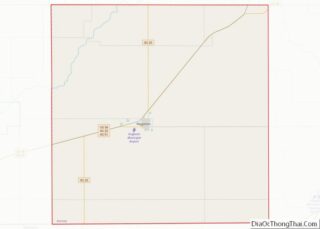
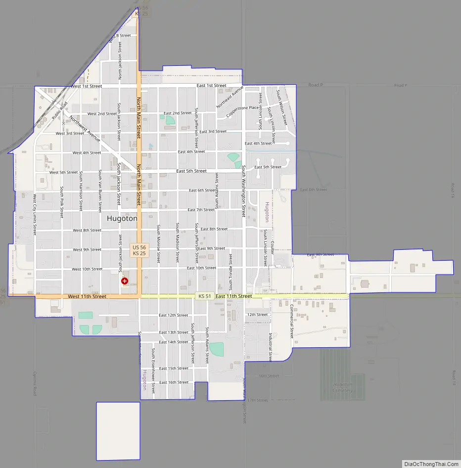
Hugoton Road Map
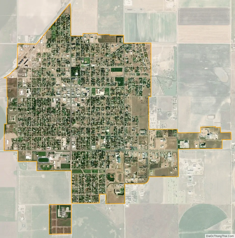
Hugoton city Satellite Map
Geography
Located in southwestern Kansas at the intersection of U.S. Route 56, K-25, and K-51, Hugoton is approximately 136 miles (219 km) north of Amarillo, 222 miles (357 km) west-southwest of Wichita, and 271 miles (436 km) southeast of Denver.
It lies in the High Plains region of the Great Plains approximately 11 miles (18 km) southeast of the Cimarron River. It also lies within, and is the namesake of, the Hugoton Natural Gas Area. The Hugoton natural gas field is the largest such field in North America and the second largest in the world.
According to the United States Census Bureau, the city has a total area of 1.75 square miles (4.53 km), all land.
Climate
Hugoton has a semi-arid steppe climate (Köppen BSk) with hot, dry summers and cold, dry winters. The average temperature is 55 °F (13 °C), and the average yearly precipitation is 18.4 inches (468 mm). Hugoton experiences precipitation an average of 58 days a year and snowfall an average of 4 days a year. Snowfall averages 10.4 inches (264 mm) per year. On average, the coldest month is January, the hottest month is July, and the wettest month is May. The hottest temperature recorded in Hugoton was 112 °F (44 °C) in 1980; the coldest temperature recorded was -20 °F (-29 °C) in 1959.
See also
Map of Kansas State and its subdivision:- Allen
- Anderson
- Atchison
- Barber
- Barton
- Bourbon
- Brown
- Butler
- Chase
- Chautauqua
- Cherokee
- Cheyenne
- Clark
- Clay
- Cloud
- Coffey
- Comanche
- Cowley
- Crawford
- Decatur
- Dickinson
- Doniphan
- Douglas
- Edwards
- Elk
- Ellis
- Ellsworth
- Finney
- Ford
- Franklin
- Geary
- Gove
- Graham
- Grant
- Gray
- Greeley
- Greenwood
- Hamilton
- Harper
- Harvey
- Haskell
- Hodgeman
- Jackson
- Jefferson
- Jewell
- Johnson
- Kearny
- Kingman
- Kiowa
- Labette
- Lane
- Leavenworth
- Lincoln
- Linn
- Logan
- Lyon
- Marion
- Marshall
- McPherson
- Meade
- Miami
- Mitchell
- Montgomery
- Morris
- Morton
- Nemaha
- Neosho
- Ness
- Norton
- Osage
- Osborne
- Ottawa
- Pawnee
- Phillips
- Pottawatomie
- Pratt
- Rawlins
- Reno
- Republic
- Rice
- Riley
- Rooks
- Rush
- Russell
- Saline
- Scott
- Sedgwick
- Seward
- Shawnee
- Sheridan
- Sherman
- Smith
- Stafford
- Stanton
- Stevens
- Sumner
- Thomas
- Trego
- Wabaunsee
- Wallace
- Washington
- Wichita
- Wilson
- Woodson
- Wyandotte
- Alabama
- Alaska
- Arizona
- Arkansas
- California
- Colorado
- Connecticut
- Delaware
- District of Columbia
- Florida
- Georgia
- Hawaii
- Idaho
- Illinois
- Indiana
- Iowa
- Kansas
- Kentucky
- Louisiana
- Maine
- Maryland
- Massachusetts
- Michigan
- Minnesota
- Mississippi
- Missouri
- Montana
- Nebraska
- Nevada
- New Hampshire
- New Jersey
- New Mexico
- New York
- North Carolina
- North Dakota
- Ohio
- Oklahoma
- Oregon
- Pennsylvania
- Rhode Island
- South Carolina
- South Dakota
- Tennessee
- Texas
- Utah
- Vermont
- Virginia
- Washington
- West Virginia
- Wisconsin
- Wyoming