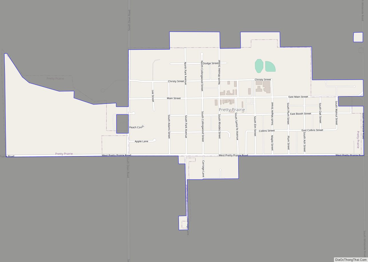
Pretty Prairie is a city in Reno County, Kansas, United States. As of the 2020 census, the population of the city was 660. Pretty Prairie city overview: Name: Pretty Prairie city LSAD Code: 25 LSAD Description: city (suffix) State: Kansas County: Reno County Founded: 1870s Incorporated: 1906 Elevation: 1,578 ft (481 m) Total Area: 0.58 sq mi (1.49 km²) Land ... Read more
Map of US Cities and Places
Preston is a city in Pratt County, Kansas, United States. As of the 2020 census, the population of the city was 115. Preston city overview: Name: Preston city LSAD Code: 25 LSAD Description: city (suffix) State: Kansas County: Pratt County Founded: 1887 Incorporated: 1909 Elevation: 1,834 ft (559 m) Total Area: 0.43 sq mi (1.13 km²) Land Area: 0.43 sq mi (1.13 km²) ... Read more
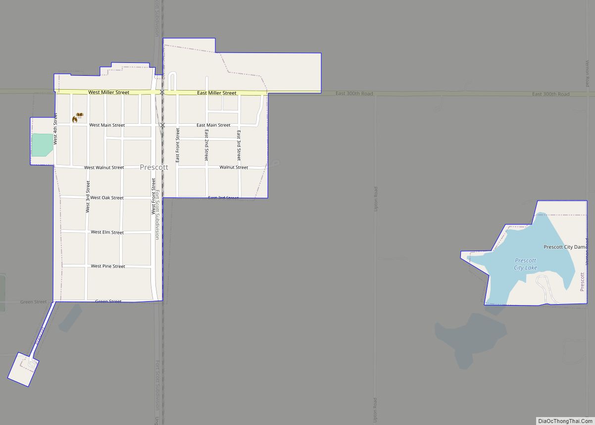
Prescott is a city in Linn County, Kansas, United States. As of the 2020 census, the population of the city was 207. Prescott city overview: Name: Prescott city LSAD Code: 25 LSAD Description: city (suffix) State: Kansas County: Linn County Incorporated: 1870 Elevation: 883 ft (269 m) Total Area: 0.30 sq mi (0.79 km²) Land Area: 0.28 sq mi (0.74 km²) Water Area: ... Read more
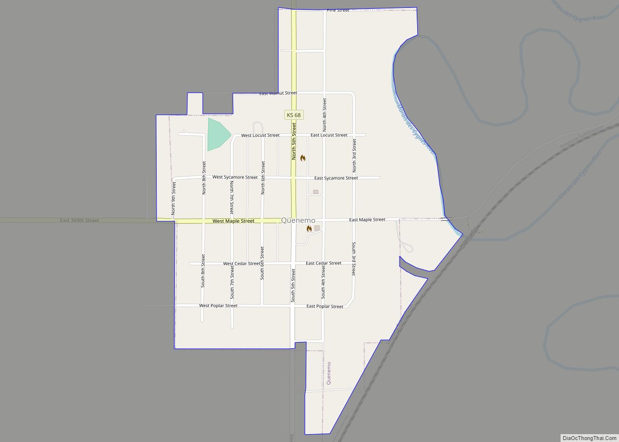
Quenemo city overview: Name: Quenemo city LSAD Code: 25 LSAD Description: city (suffix) State: Kansas County: Osage County FIPS code: 2058100 Online Interactive Map Quenemo online map. Source: Basemap layers from Google Map, Open Street Map (OSM), Arcgisonline, Wmflabs. Boundary Data from Database of Global Administrative Areas. Quenemo location map. Where is Quenemo city? Quenemo ... Read more
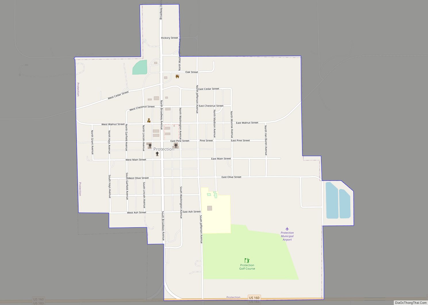
Protection is a city in Comanche County, Kansas, United States. As of the 2020 census, the population of the city was 498. Protection city overview: Name: Protection city LSAD Code: 25 LSAD Description: city (suffix) State: Kansas County: Comanche County Founded: 1884 Incorporated: 1908 Elevation: 1,850 ft (560 m) Total Area: 0.93 sq mi (2.40 km²) Land Area: 0.93 sq mi (2.40 km²) ... Read more
Princeton is a city in Franklin County, Kansas, United States. As of the 2020 census, the population of the city was 248. Princeton city overview: Name: Princeton city LSAD Code: 25 LSAD Description: city (suffix) State: Kansas County: Franklin County Founded: 1869 Incorporated: 1921 Elevation: 971 ft (296 m) Total Area: 0.35 sq mi (0.91 km²) Land Area: 0.35 sq mi (0.90 km²) ... Read more
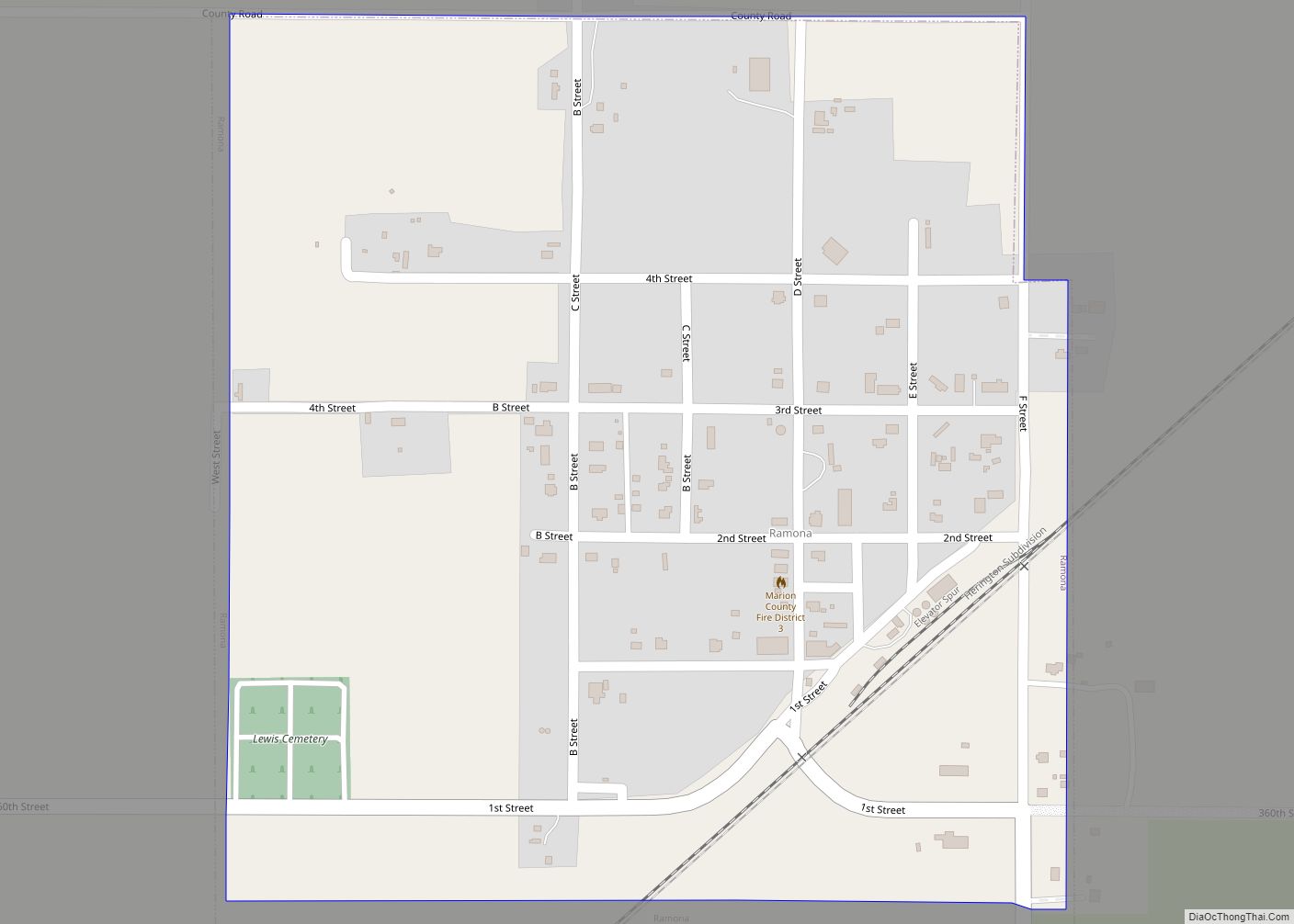
Ramona is a city in Marion County, Kansas, United States. As of the 2020 census, the population of the city was 78. It is located southwest of Herington next to a railroad. Ramona city overview: Name: Ramona city LSAD Code: 25 LSAD Description: city (suffix) State: Kansas County: Marion County Incorporated: 1909 Elevation: 1,421 ft (433 m) ... Read more
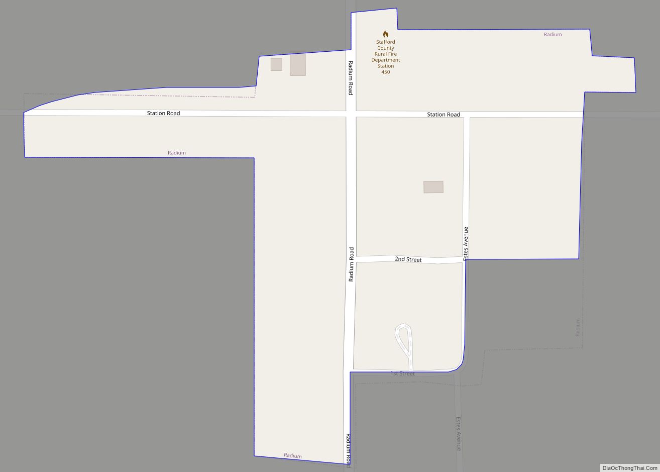
Radium is a city in Stafford County, Kansas, United States. As of the 2020 census, the population of the city was 26. Radium city overview: Name: Radium city LSAD Code: 25 LSAD Description: city (suffix) State: Kansas County: Stafford County Founded: 1900s Incorporated: 1934 Elevation: 1,952 ft (595 m) Total Area: 0.04 sq mi (0.11 km²) Land Area: 0.04 sq mi (0.11 km²) ... Read more
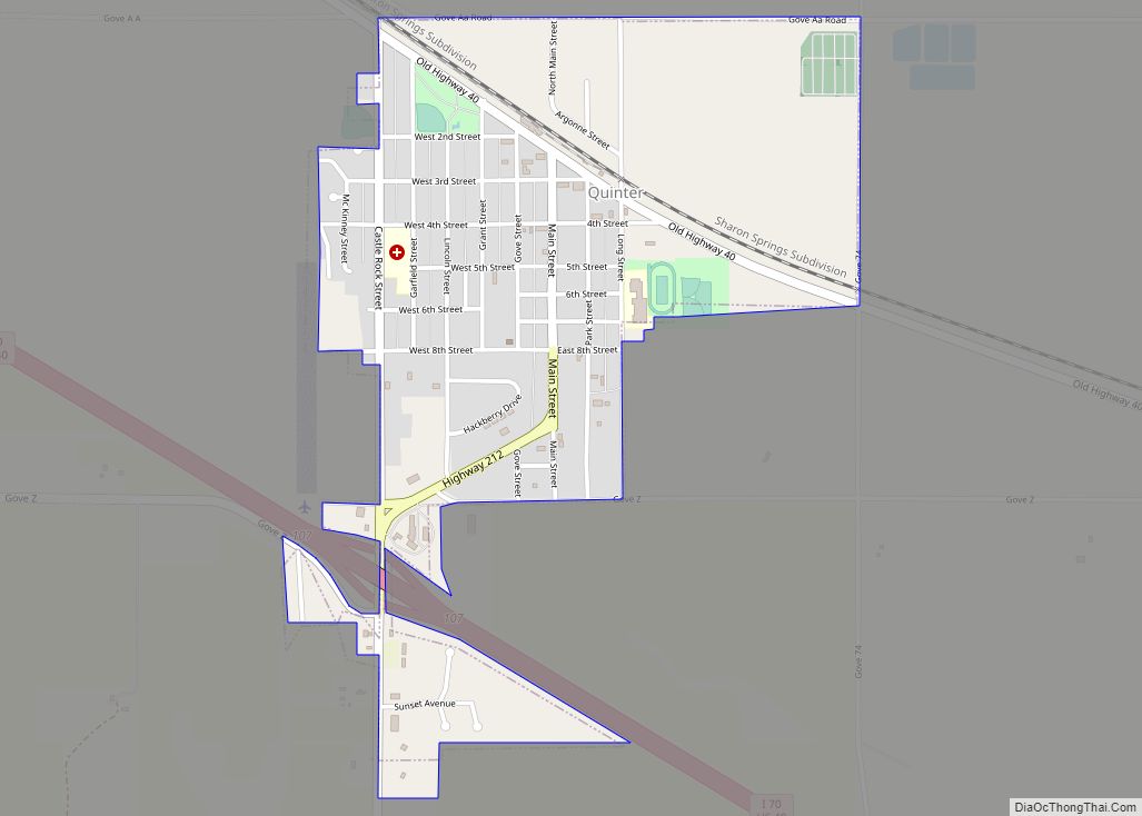
Quinter city overview: Name: Quinter city LSAD Code: 25 LSAD Description: city (suffix) State: Kansas County: Gove County FIPS code: 2058250 Online Interactive Map Quinter online map. Source: Basemap layers from Google Map, Open Street Map (OSM), Arcgisonline, Wmflabs. Boundary Data from Database of Global Administrative Areas. Quinter location map. Where is Quinter city? Quinter ... Read more
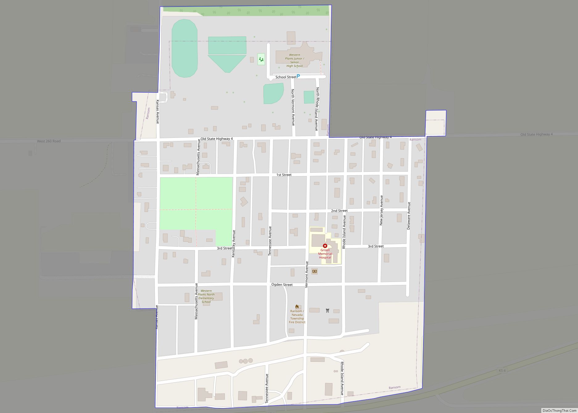
Ransom is a city in Ness County, Kansas, United States. As of the 2020 census, the population of the city was 260. Ransom city overview: Name: Ransom city LSAD Code: 25 LSAD Description: city (suffix) State: Kansas County: Ness County Founded: 1880s Incorporated: 1905 Elevation: 2,513 ft (766 m) Total Area: 0.35 sq mi (0.91 km²) Land Area: 0.35 sq mi (0.91 km²) ... Read more
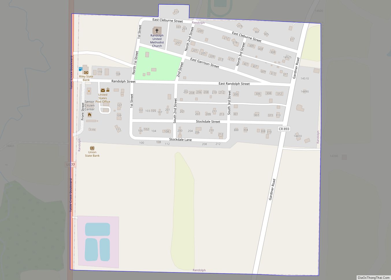
Randolph is a city in Riley County, Kansas, United States. As of the 2020 census, the population of the city was 159. Randolph city overview: Name: Randolph city LSAD Code: 25 LSAD Description: city (suffix) State: Kansas County: Riley County Founded: 1850s Incorporated: 1886 Elevation: 1,237 ft (377 m) Total Area: 0.25 sq mi (0.65 km²) Land Area: 0.25 sq mi (0.65 km²) ... Read more
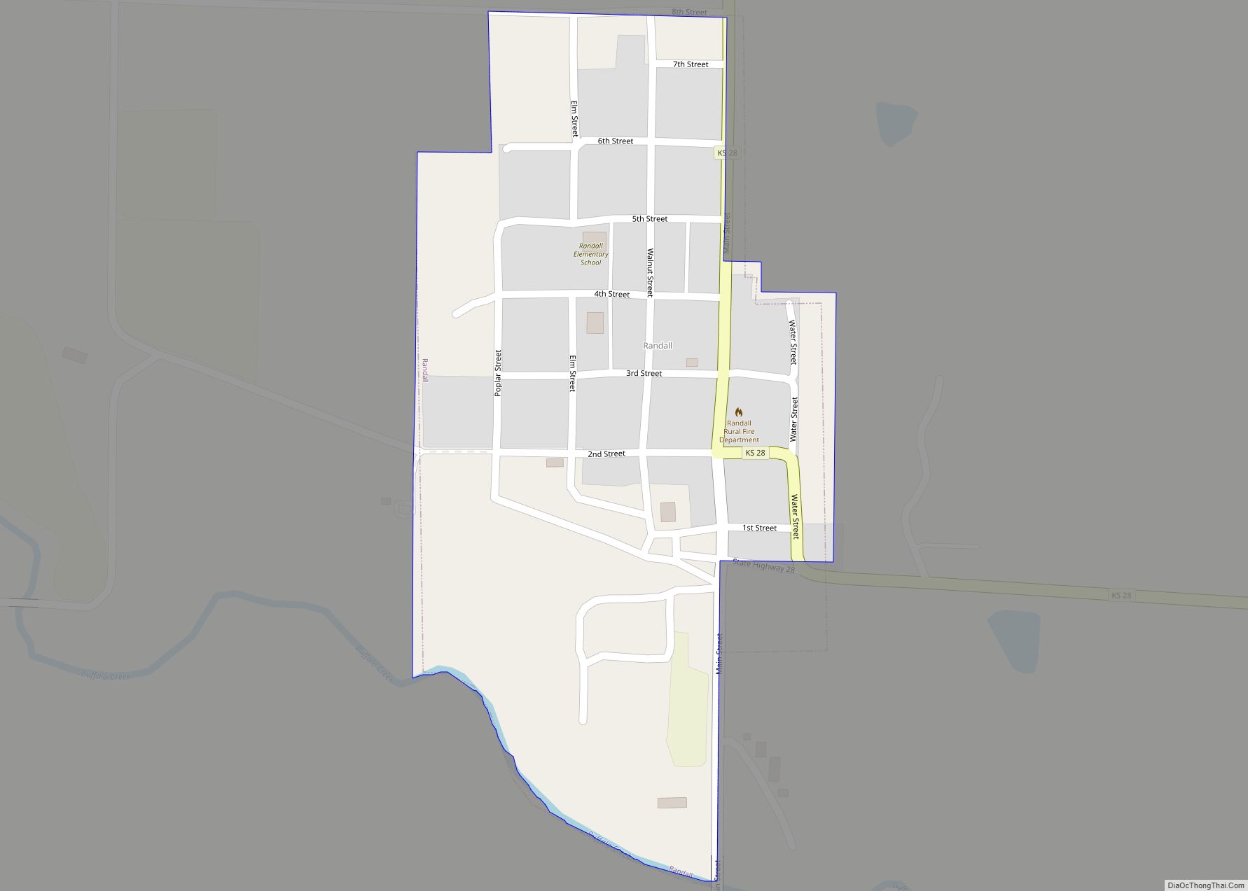
Randall is a city in Jewell County, Kansas, United States. As of the 2020 census, the population of the city was 79. Randall city overview: Name: Randall city LSAD Code: 25 LSAD Description: city (suffix) State: Kansas County: Jewell County Founded: 1870s Incorporated: 1887 Elevation: 1,457 ft (444 m) Total Area: 0.17 sq mi (0.45 km²) Land Area: 0.17 sq mi (0.45 km²) ... Read more
