Preston is a city in Pratt County, Kansas, United States. As of the 2020 census, the population of the city was 115.
| Name: | Preston city |
|---|---|
| LSAD Code: | 25 |
| LSAD Description: | city (suffix) |
| State: | Kansas |
| County: | Pratt County |
| Founded: | 1887 |
| Incorporated: | 1909 |
| Elevation: | 1,834 ft (559 m) |
| Total Area: | 0.43 sq mi (1.13 km²) |
| Land Area: | 0.43 sq mi (1.13 km²) |
| Water Area: | 0.00 sq mi (0.00 km²) |
| Total Population: | 115 |
| Population Density: | 270/sq mi (100/km²) |
| Area code: | 620 |
| FIPS code: | 2057675 |
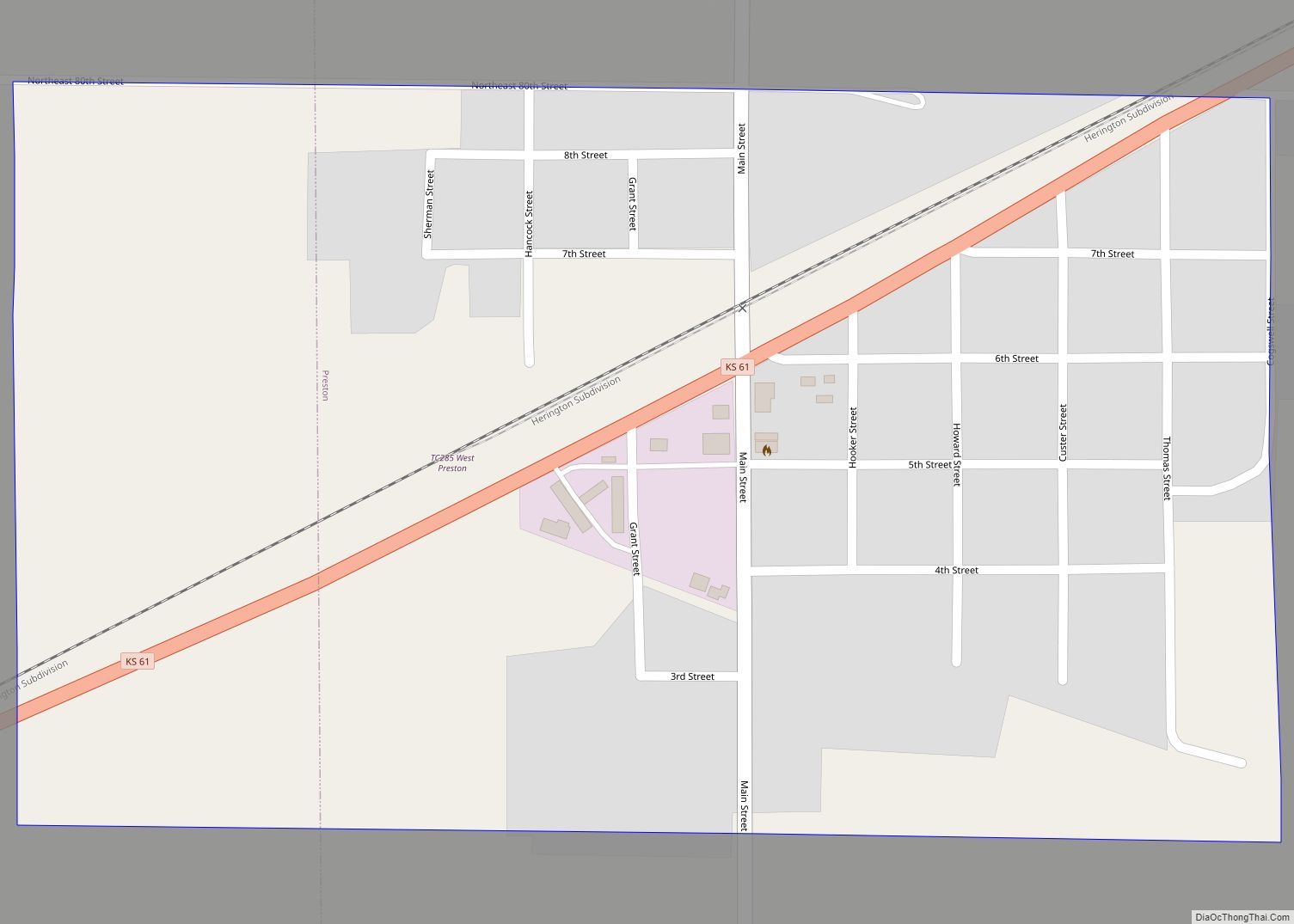
Online Interactive Map
Click on ![]() to view map in "full screen" mode.
to view map in "full screen" mode.
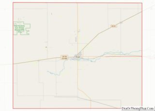
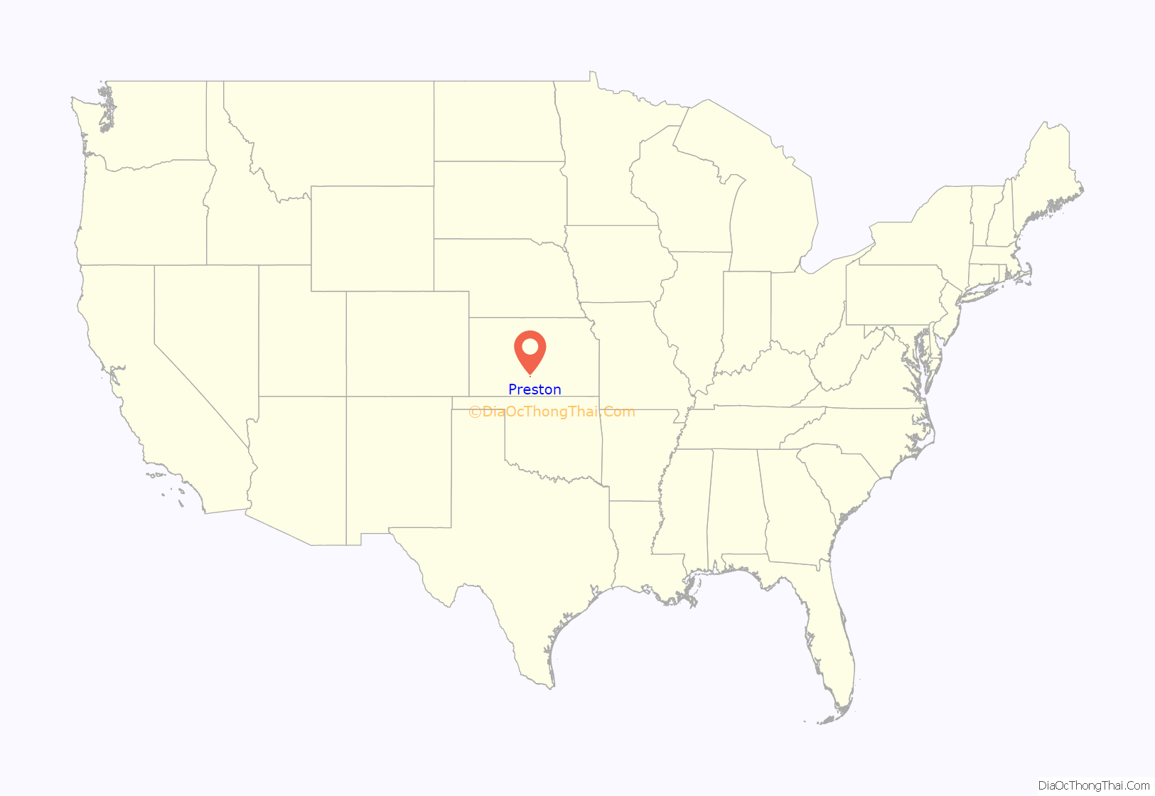
Preston location map. Where is Preston city?

History
19th century
In 1887, the Chicago, Kansas and Nebraska Railway built a main line from Herington through Preston to Pratt. In 1888, this line was extended to Liberal. Later, it was extended to Tucumcari, New Mexico and El Paso, Texas. It foreclosed in 1891 and taken over by Chicago, Rock Island and Pacific Railway, which shut down in 1980 and reorganized as Oklahoma, Kansas and Texas Railroad, merged in 1988 with Missouri Pacific Railroad, merged in 1997 with Union Pacific Railroad. Most locals still refer to this railroad as the “Rock Island”.
Preston was founded in 1887. Preston had a post office from 1887 until 1990.
Redevelopment
Although the city has been considered to be dying, the city is being revitalized. An Arizona undertaker has announced to build a crematorium in the city, helping to revive business there. The city is being revitalized. A mortuary is currently open; and during 2011 a fabric store, a used carlot, a diner, and a convienence store are scheduled to open.
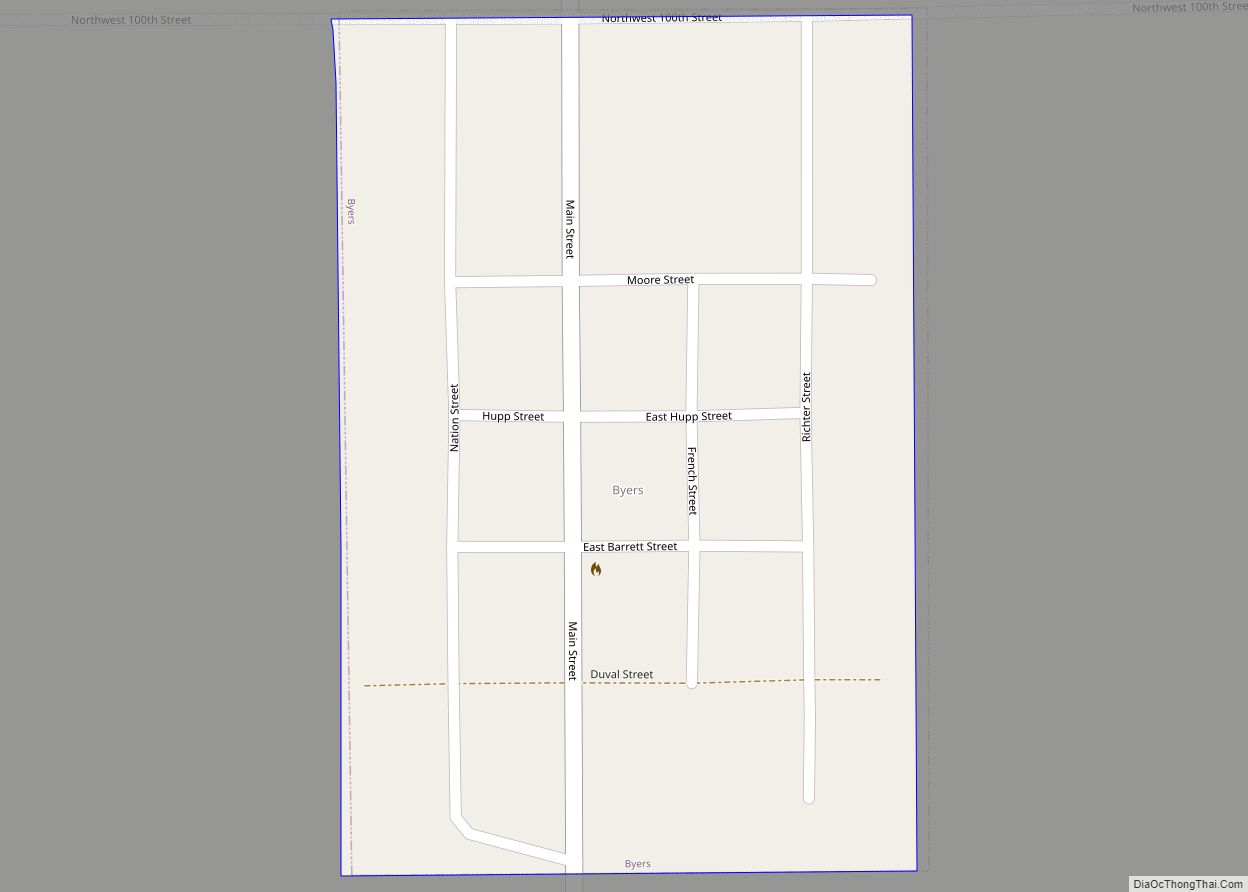
Preston Road Map
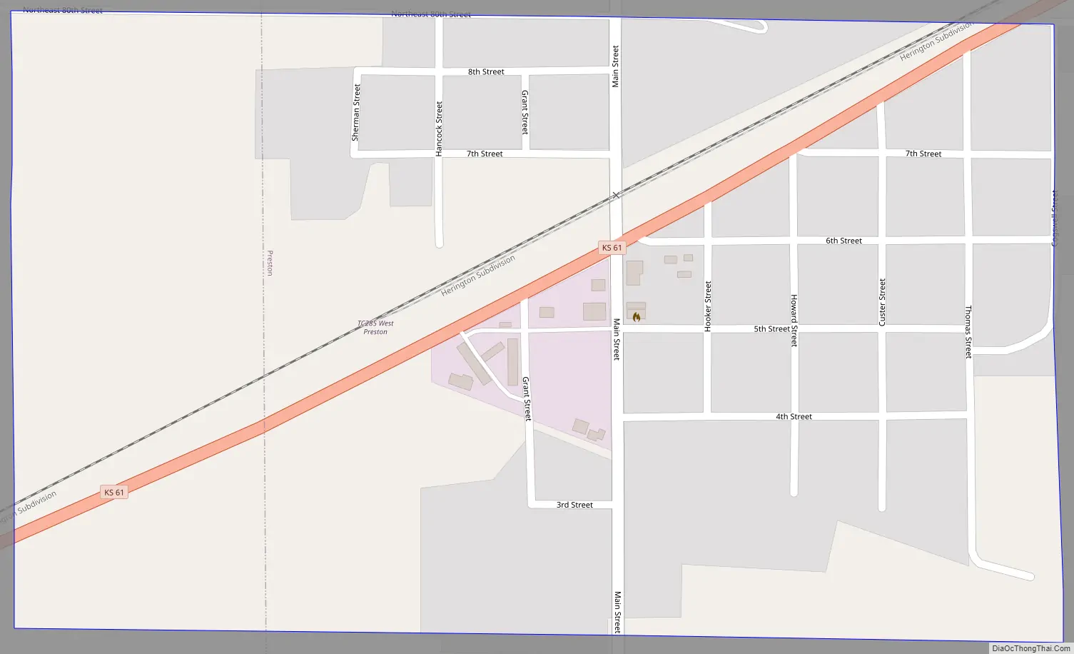
Preston city Satellite Map

Geography
Preston is located at 37°45′36″N 98°33′16″W / 37.76000°N 98.55444°W / 37.76000; -98.55444 (37.759981, -98.554549). According to the United States Census Bureau, the city has a total area of 0.47 square miles (1.22 km), all of it land.
See also
Map of Kansas State and its subdivision:- Allen
- Anderson
- Atchison
- Barber
- Barton
- Bourbon
- Brown
- Butler
- Chase
- Chautauqua
- Cherokee
- Cheyenne
- Clark
- Clay
- Cloud
- Coffey
- Comanche
- Cowley
- Crawford
- Decatur
- Dickinson
- Doniphan
- Douglas
- Edwards
- Elk
- Ellis
- Ellsworth
- Finney
- Ford
- Franklin
- Geary
- Gove
- Graham
- Grant
- Gray
- Greeley
- Greenwood
- Hamilton
- Harper
- Harvey
- Haskell
- Hodgeman
- Jackson
- Jefferson
- Jewell
- Johnson
- Kearny
- Kingman
- Kiowa
- Labette
- Lane
- Leavenworth
- Lincoln
- Linn
- Logan
- Lyon
- Marion
- Marshall
- McPherson
- Meade
- Miami
- Mitchell
- Montgomery
- Morris
- Morton
- Nemaha
- Neosho
- Ness
- Norton
- Osage
- Osborne
- Ottawa
- Pawnee
- Phillips
- Pottawatomie
- Pratt
- Rawlins
- Reno
- Republic
- Rice
- Riley
- Rooks
- Rush
- Russell
- Saline
- Scott
- Sedgwick
- Seward
- Shawnee
- Sheridan
- Sherman
- Smith
- Stafford
- Stanton
- Stevens
- Sumner
- Thomas
- Trego
- Wabaunsee
- Wallace
- Washington
- Wichita
- Wilson
- Woodson
- Wyandotte
- Alabama
- Alaska
- Arizona
- Arkansas
- California
- Colorado
- Connecticut
- Delaware
- District of Columbia
- Florida
- Georgia
- Hawaii
- Idaho
- Illinois
- Indiana
- Iowa
- Kansas
- Kentucky
- Louisiana
- Maine
- Maryland
- Massachusetts
- Michigan
- Minnesota
- Mississippi
- Missouri
- Montana
- Nebraska
- Nevada
- New Hampshire
- New Jersey
- New Mexico
- New York
- North Carolina
- North Dakota
- Ohio
- Oklahoma
- Oregon
- Pennsylvania
- Rhode Island
- South Carolina
- South Dakota
- Tennessee
- Texas
- Utah
- Vermont
- Virginia
- Washington
- West Virginia
- Wisconsin
- Wyoming