Map of Mattapoisett Center CDP
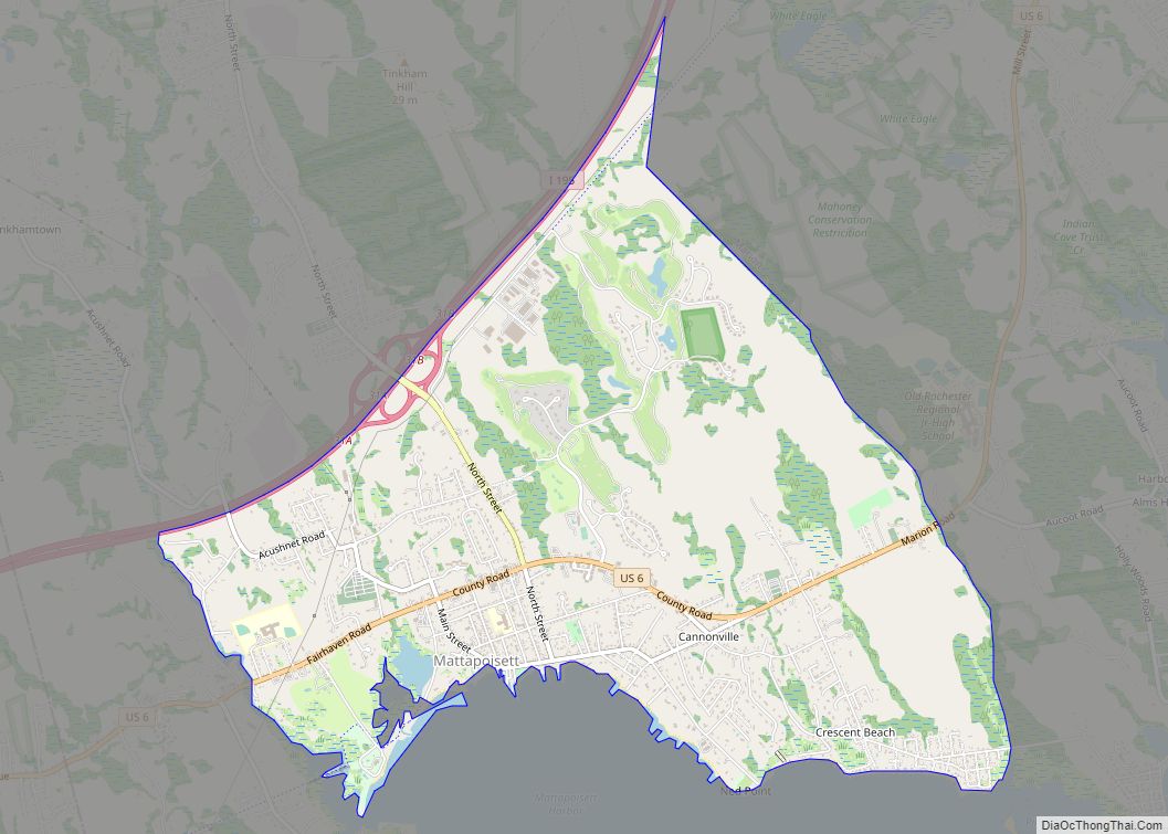
Mattapoisett Center is a census-designated place (CDP) in the town of Mattapoisett in Plymouth County, Massachusetts. The population was 2,915 at the 2010 census. Mattapoisett Center CDP overview: Name: Mattapoisett Center CDP LSAD Code: 57 LSAD Description: CDP (suffix) State: Massachusetts County: Plymouth County Total Area: 4.96 sq mi (12.83 km²) Land Area: 4.89 sq mi (12.67 km²) Water Area: 0.06 sq mi ... Read more
Map of Mattapoisett Center CDP
Map of Melrose city, Massachusetts
Melrose is a city located in the Greater Boston metropolitan area in Middlesex County, Massachusetts, United States. Its population, per the 2020 United States Census, is 29,817. It is a suburb located approximately seven miles north of Boston. It is situated in the center of the triangle created by Interstates 93, 95 and U.S. Route ... Read more
Map of Melrose city, Massachusetts
Map of Medford city, Massachusetts
Medford is a city 6.7 miles (10.8 km) northwest of downtown Boston on the Mystic River in Middlesex County, Massachusetts, United States. At the time of the 2020 U.S. Census, Medford’s population was 59,659. It is home to Tufts University, which has its campus along the Medford and Somerville border. Medford city overview: Name: Medford city ... Read more
Map of Medford city, Massachusetts
Map of Medfield CDP
Medfield is a census-designated place (CDP) in the town of Medfield in Norfolk County, Massachusetts, United States. The population was 6,483 at the 2010 census. Medfield CDP overview: Name: Medfield CDP LSAD Code: 57 LSAD Description: CDP (suffix) State: Massachusetts County: Norfolk County Elevation: 187 ft (57 m) Total Area: 5.04 sq mi (13.05 km²) Land Area: 4.95 sq mi (12.81 km²) Water ... Read more
Map of Medfield CDP
Map of Milford CDP, Massachusetts
Milford is a census-designated place (CDP) in the town of Milford in Worcester County, Massachusetts, United States. The population was 25,055 at the 2010 census. Milford CDP overview: Name: Milford CDP LSAD Code: 57 LSAD Description: CDP (suffix) State: Massachusetts County: Worcester County Elevation: 259 ft (79 m) Total Area: 10.39 sq mi (26.91 km²) Land Area: 10.15 sq mi (26.30 km²) Water ... Read more
Map of Milford CDP, Massachusetts
Map of Middleborough Center CDP
Middleborough Center is a census-designated place (CDP) in the town of Middleborough in Plymouth County, Massachusetts, United States. The population was 7,319 at the 2010 census. Middleborough Center CDP overview: Name: Middleborough Center CDP LSAD Code: 57 LSAD Description: CDP (suffix) State: Massachusetts County: Plymouth County Total Area: 4.03 sq mi (10.43 km²) Land Area: 3.93 sq mi (10.17 km²) Water ... Read more
Map of Middleborough Center CDP
Map of Methuen Town city
Methuen Town city overview: Name: Methuen Town city LSAD Code: 25 LSAD Description: city (suffix) State: Massachusetts County: Essex County FIPS code: 2540710 Online Interactive Map Methuen Town online map. Source: Basemap layers from Google Map, Open Street Map (OSM), Arcgisonline, Wmflabs. Boundary Data from Database of Global Administrative Areas. Methuen Town location map. Where ... Read more
Map of Methuen Town city
Map of Milton CDP, Massachusetts
Milton is a town in Norfolk County, Massachusetts, United States and an affluent suburb of Boston. The population was 28,630 at the 2020 census. Milton is the birthplace of former U.S. President George H. W. Bush, and architect Buckminster Fuller. Milton was ranked by Money as the 2nd, 7th, 8th, and 17th best place to ... Read more
Map of Milton CDP, Massachusetts
Map of Millis-Clicquot CDP
Millis-Clicquot is a census-designated place (CDP) in the town of Millis in Norfolk County, Massachusetts, United States. The population was 4,403 at the 2010 census. The name “Clicquot” comes from the now-defunct Clicquot Club Company, a beverage manufacturer that was founded in the area in 1881. Millis-Clicquot CDP overview: Name: Millis-Clicquot CDP LSAD Code: 57 ... Read more
Map of Millis-Clicquot CDP
Map of Millers Falls CDP
Millers Falls is a census-designated place (CDP) in the towns of Montague and Erving in Franklin County, Massachusetts, United States. The population was 1,139 at the 2010 census. It is part of the Springfield, Massachusetts metropolitan statistical area. Millers Falls CDP overview: Name: Millers Falls CDP LSAD Code: 57 LSAD Description: CDP (suffix) State: Massachusetts ... Read more
Map of Millers Falls CDP
Map of Monument Beach CDP
Monument Beach is a census-designated place (CDP) in the town of Bourne in Barnstable County, Massachusetts, United States. The population was 2,790 at the 2010 census. Monument Beach CDP overview: Name: Monument Beach CDP LSAD Code: 57 LSAD Description: CDP (suffix) State: Massachusetts County: Barnstable County Elevation: 66 ft (20 m) Total Area: 3.46 sq mi (8.97 km²) Land Area: ... Read more
Map of Monument Beach CDP
Map of Monson Center CDP
Monson Center is a census-designated place (CDP) in the town of Monson in Hampden County, Massachusetts, United States. The population was 2,107 at the 2010 census, out of a total 8,560 people in the town. It is part of the Springfield, Massachusetts Metropolitan Statistical Area. Monson Center CDP overview: Name: Monson Center CDP LSAD Code: ... Read more
Map of Monson Center CDP