Map of Rockledge borough, Pennsylvania
Rockledge is a borough in Montgomery County, Pennsylvania, United States. The population was 2,638 as of the 2020 census. Rockledge is surrounded by Abington Township and the city of Philadelphia, and shares a ZIP code with Jenkintown. Rockledge borough overview: Name: Rockledge borough LSAD Code: 21 LSAD Description: borough (suffix) State: Pennsylvania County: Montgomery County ... Read more
Map of Rockledge borough, Pennsylvania
Map of Rockhill borough
Rockhill or Rockhill Furnace is a borough in Huntingdon County, Pennsylvania, United States. The population was 371 at the 2010 census, down from 414 at the 2000 census. It is the site of the East Broad Top Railroad and the Rockhill Trolley Museum. Although the community was long known as “Rockhill Furnace”, its name has ... Read more
Map of Rockhill borough
Map of Rochester borough, Pennsylvania
Rochester is a borough in central Beaver County, Pennsylvania at the confluence of the Beaver and Ohio rivers. Located 25 miles (40 km) northwest of Pittsburgh, it is part of the Pittsburgh metropolitan area. The population was 3,480 at the 2020 census. Like many places around Pittsburgh, Rochester was a former industrial hub, home to the ... Read more
Map of Rochester borough, Pennsylvania
Map of Roscoe borough, Pennsylvania
Roscoe is a borough in Washington County, Pennsylvania, United States. The population was 716 at the 2020 census. Roscoe borough overview: Name: Roscoe borough LSAD Code: 21 LSAD Description: borough (suffix) State: Pennsylvania County: Washington County Total Area: 0.25 sq mi (0.64 km²) Land Area: 0.18 sq mi (0.47 km²) Water Area: 0.06 sq mi (0.17 km²) Total Population: 720 Population Density: 3,956.04/sq mi (1,528.02/km²) ... Read more
Map of Roscoe borough, Pennsylvania
Map of Ronks CDP
Ronks is a small unincorporated farming community and census-designated place (CDP) in East Lampeter Township, Lancaster County, Pennsylvania, United States, just west of Paradise. As of the 2010 census the population was 362. The community is the home of Ronks Concrete Company and has a large Amish and Mennonite population. The Ronks ZIP code of ... Read more
Map of Ronks CDP
Map of Ronco CDP
Ronco is an unincorporated community and census-designated place in German Township, Fayette County, Pennsylvania, United States. It is located 2 miles (3 km) north of the borough of Masontown, along the east bank of the Monongahela River. As of the 2010 census, the population of Ronco was 256. Ronco CDP overview: Name: Ronco CDP LSAD Code: ... Read more
Map of Ronco CDP
Map of Rome borough, Pennsylvania
Rome is a borough in Bradford County, Pennsylvania, United States. It is part of Northeastern Pennsylvania. The population was 385 at the 2020 census. Rome borough overview: Name: Rome borough LSAD Code: 21 LSAD Description: borough (suffix) State: Pennsylvania County: Bradford County Incorporated: 1860 Elevation: 837 ft (255 m) Total Area: 0.53 sq mi (1.37 km²) Land Area: 0.52 sq mi (1.34 km²) ... Read more
Map of Rome borough, Pennsylvania
Map of Rohrsburg CDP
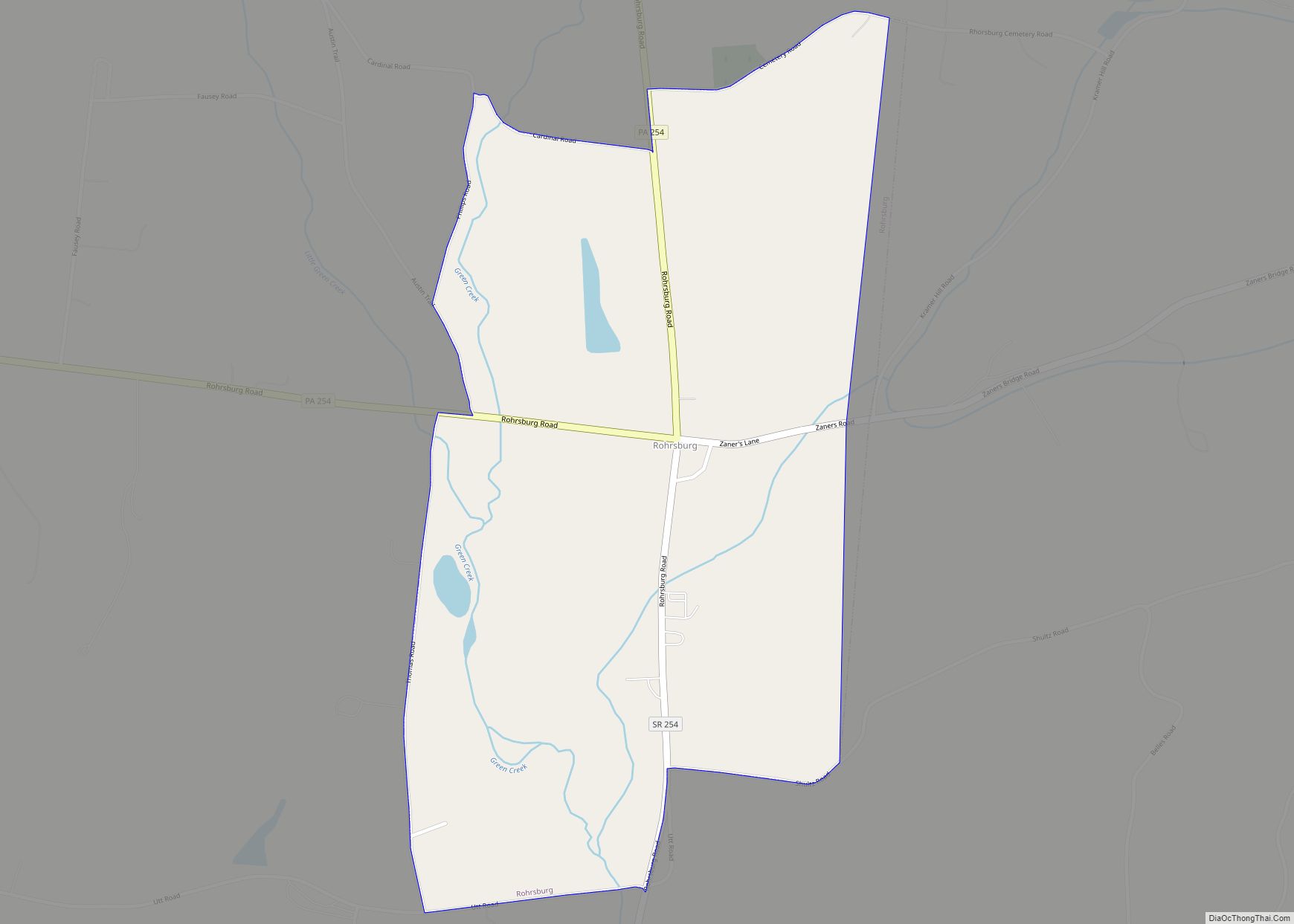
Rohrsburg is a census-designated place (CDP) in Columbia County, Pennsylvania, United States. It is part of Northeastern Pennsylvania. The population was 145 at the 2010 census. It is part of the Bloomsburg-Berwick micropolitan area. Rohrsburg CDP overview: Name: Rohrsburg CDP LSAD Code: 57 LSAD Description: CDP (suffix) State: Pennsylvania County: Columbia County Elevation: 661 ft (201 m) ... Read more
Map of Rohrsburg CDP
Map of Rouzerville CDP
Rouzerville is an unincorporated community and census-designated place (CDP) in Franklin County, Pennsylvania, United States. The population was 903 at the 2020 census. Rouzerville CDP overview: Name: Rouzerville CDP LSAD Code: 57 LSAD Description: CDP (suffix) State: Pennsylvania County: Franklin County Elevation: 720 ft (220 m) Total Area: 0.7 sq mi (1.7 km²) Land Area: 0.7 sq mi (1.7 km²) Water Area: 0.0 sq mi ... Read more
Map of Rouzerville CDP
Map of Rouseville borough
Rouseville is a borough in Venango County, Pennsylvania, United States. The population was 456 at the 2020 census. Rouseville borough overview: Name: Rouseville borough LSAD Code: 21 LSAD Description: borough (suffix) State: Pennsylvania County: Venango County Incorporated: 1900 Total Area: 0.91 sq mi (2.35 km²) Land Area: 0.89 sq mi (2.31 km²) Water Area: 0.01 sq mi (0.03 km²) Total Population: 456 Population Density: ... Read more
Map of Rouseville borough
Map of Roulette CDP
Roulette is a census-designated place located in Roulette Township in far western Potter County in the state of Pennsylvania, United States. It is located along the Allegheny River, approximately 20 miles southwest of the river’s source. The town is also on U.S. Route 6, roughly halfway between Port Allegany and Coudersport. As of the 2010 ... Read more
Map of Roulette CDP
Map of Rothsville CDP
Rothsville is an unincorporated community and census-designated place (CDP) in Warwick Township, Lancaster County, Pennsylvania, United States. The population was 3,044 at the 2010 census. Lititz is the town for residents’ mailing addresses. Rothsville CDP overview: Name: Rothsville CDP LSAD Code: 57 LSAD Description: CDP (suffix) State: Pennsylvania County: Lancaster County Elevation: 490 ft (150 m) Total ... Read more
Map of Rothsville CDP