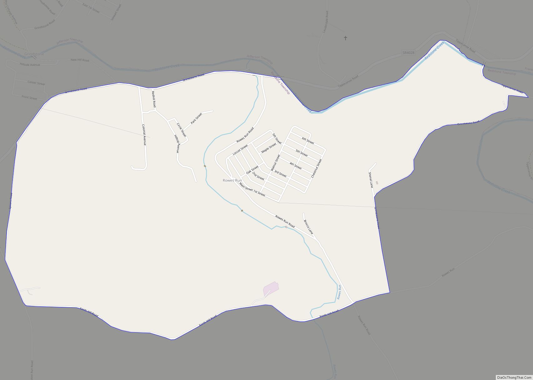
Rowes Run is an unincorporated community and census-designated place in Redstone Township, Fayette County, Pennsylvania, United States. As of the 2010 census, its population was 564. The community was part of the Grindstone-Rowes Run CDP before it was split into two separate CDPs for the 2010 census. Rowes Run CDP overview: Name: Rowes Run CDP ... Read more
Pennsylvania Cities and Places
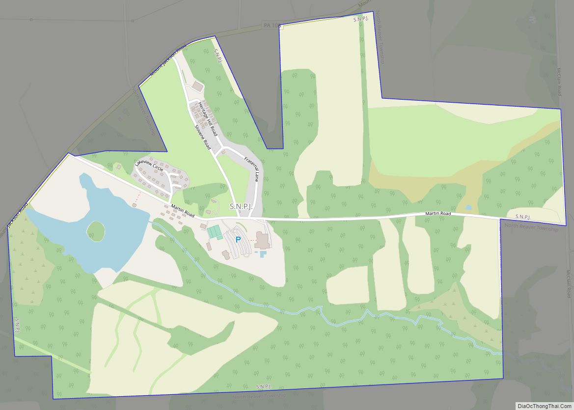
S.N.P.J. is a borough in Lawrence County, Pennsylvania, United States. As of the 2020 Census, the borough had a population of 15. It is part of the New Castle micropolitan area. S.N.P.J. stands for “Slovenska Narodna Podporna Jednota” (Slovene National Benefit Society), a fraternal society and financial co-operative based in North Fayette, Pennsylvania. The society ... Read more
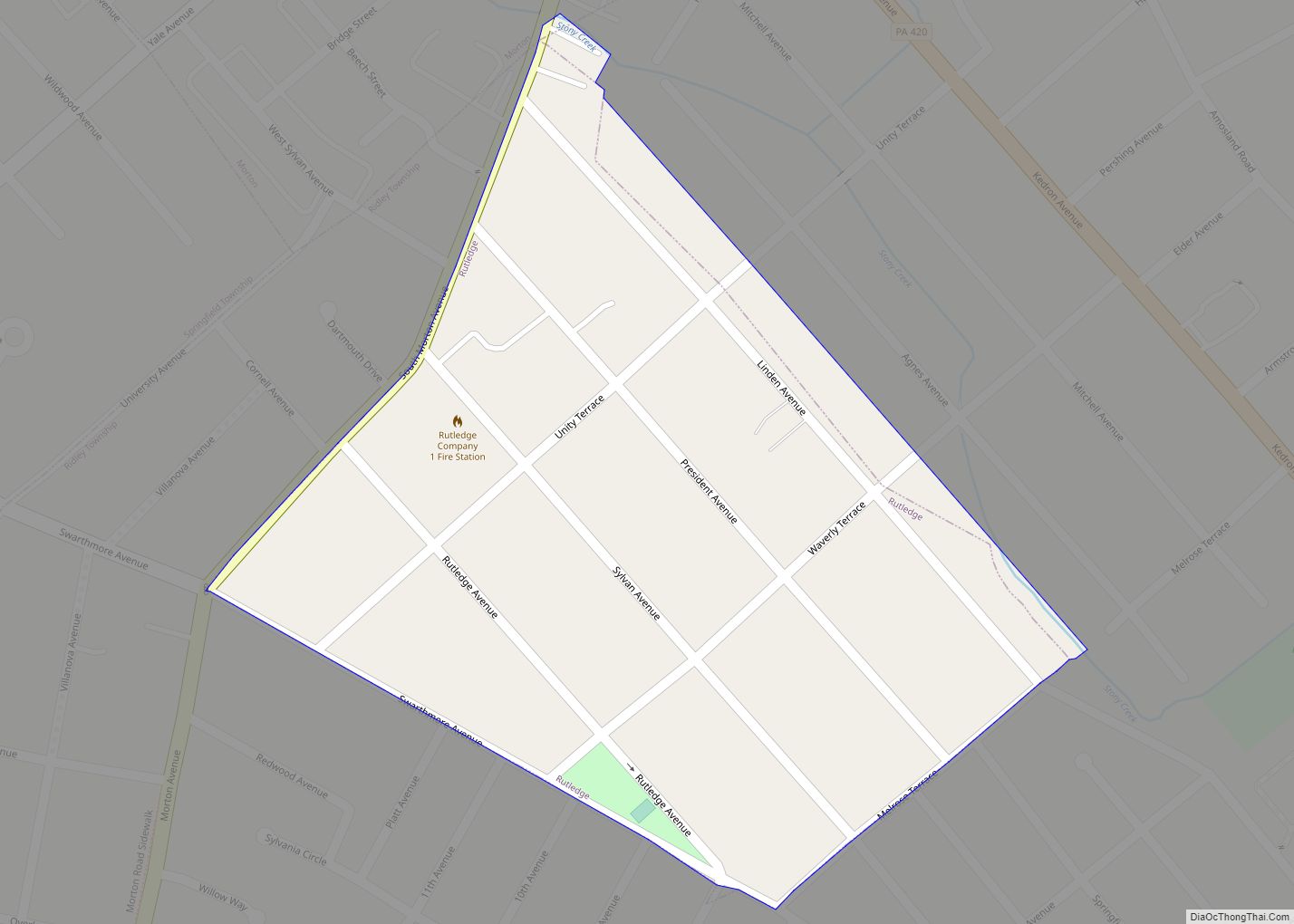
Rutledge is a borough in Delaware County, Pennsylvania, United States. The population was 784 at the 2010 census, down from 860 at the 2000 census. Rutledge borough overview: Name: Rutledge borough LSAD Code: 21 LSAD Description: borough (suffix) State: Pennsylvania County: Delaware County Elevation: 128 ft (39 m) Total Area: 0.14 sq mi (0.37 km²) Land Area: 0.14 sq mi (0.37 km²) Water ... Read more
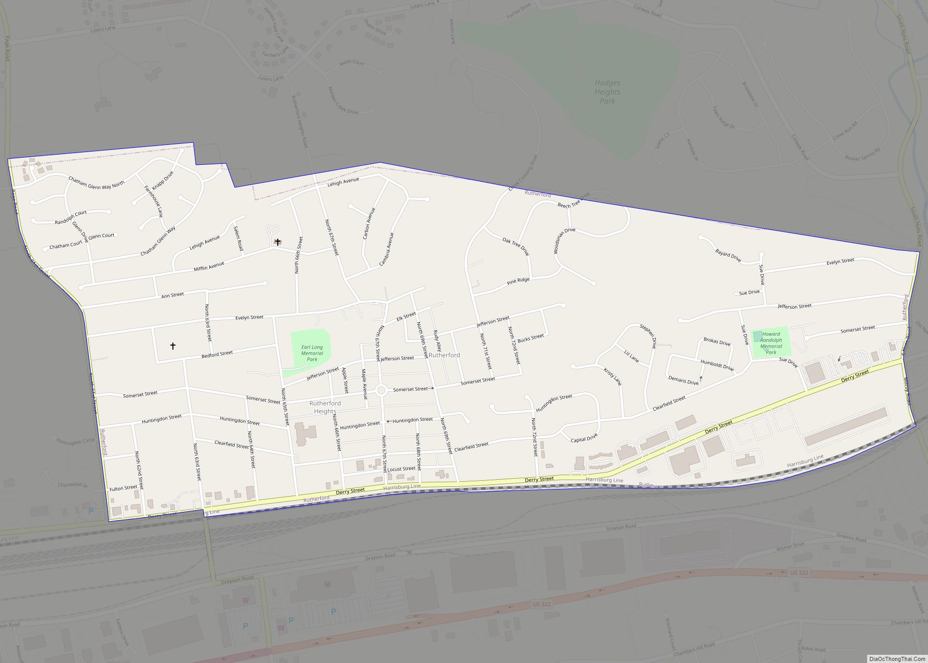
Rutherford is a census-designated place (CDP) in Swatara Township, Dauphin County, Pennsylvania, United States. The area is also known as Rutherford Heights. The population was 4,303 at the 2010 census, an increase over the figure of 3,859 tabulated in 2000. It is part of the Harrisburg–Carlisle Metropolitan Statistical Area. Rutherford CDP overview: Name: Rutherford CDP ... Read more
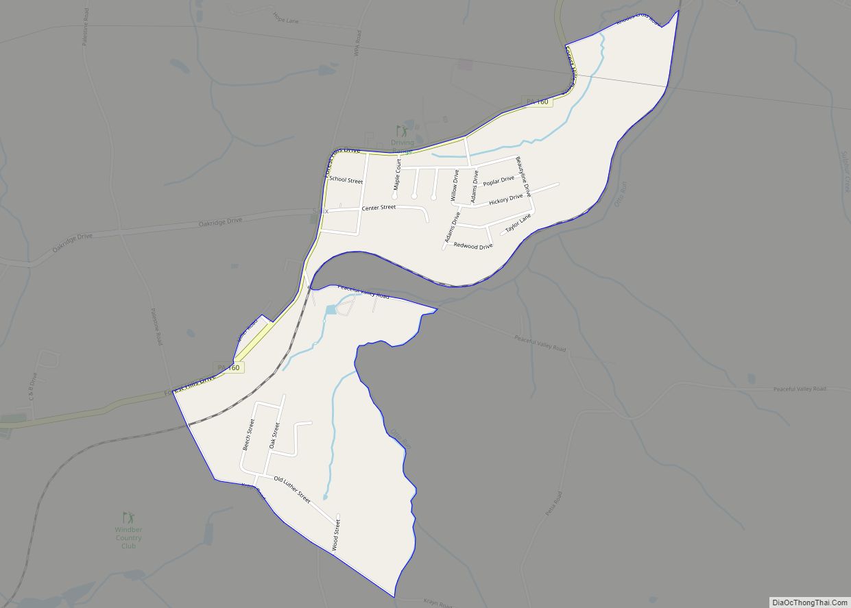
Salix is an unincorporated community and census-designated place (CDP) in Cambria County, Pennsylvania, United States. The population was 1,149 at the 2010 census. In previous censuses it was listed as Salix-Beauty Line Park. Salix CDP overview: Name: Salix CDP LSAD Code: 57 LSAD Description: CDP (suffix) State: Pennsylvania County: Cambria County Elevation: 2,051 ft (625 m) Total ... Read more
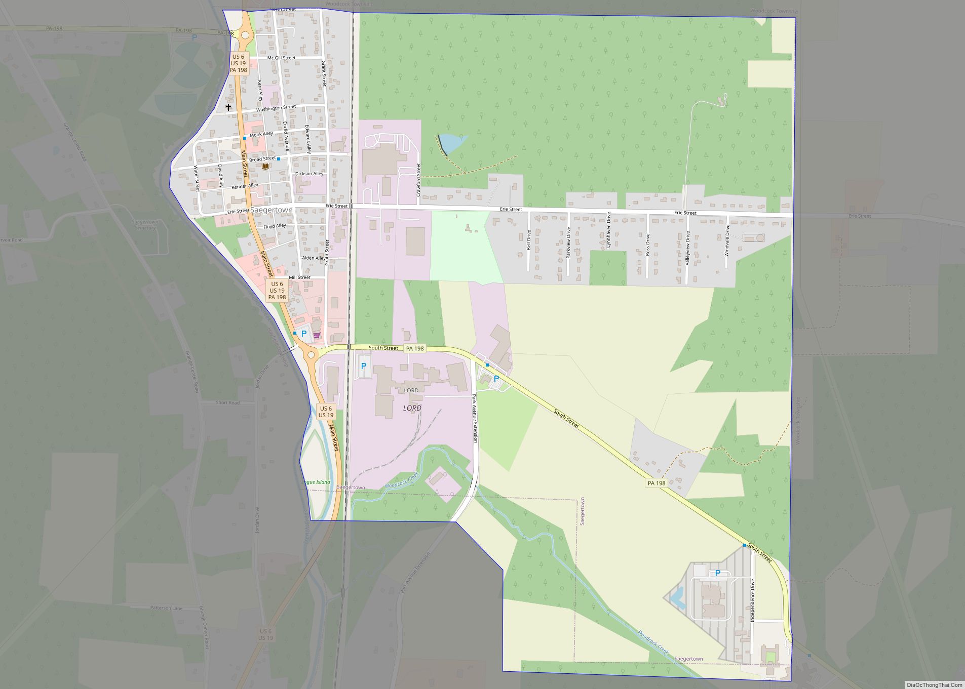
Saegertown is a borough in Crawford County, Pennsylvania. The population was 859 at the time of the 2020 census, down from 997 at the 2010 census. It was established in 1824. Saegertown borough overview: Name: Saegertown borough LSAD Code: 21 LSAD Description: borough (suffix) State: Pennsylvania County: Crawford County Founded: 1824 Total Area: 1.45 sq mi (3.74 km²) ... Read more
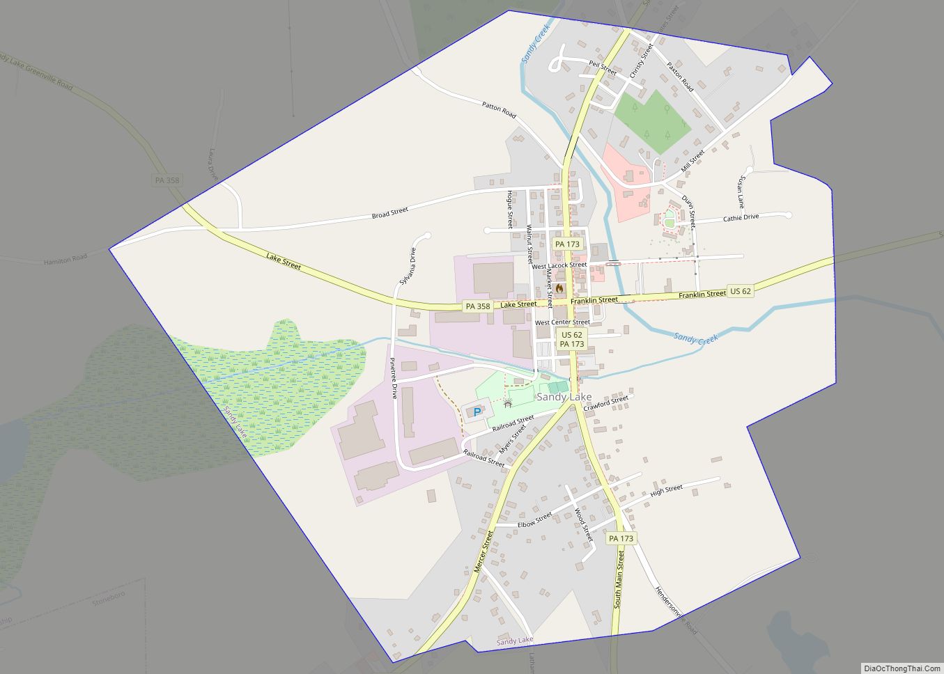
Sandy Lake is a borough in eastern Mercer County, Pennsylvania, United States. It was established in 1849. The population was 649 at the 2020 census. It is part of the Youngstown–Warren metropolitan area. Sandy Lake borough overview: Name: Sandy Lake borough LSAD Code: 21 LSAD Description: borough (suffix) State: Pennsylvania County: Mercer County Total Area: ... Read more
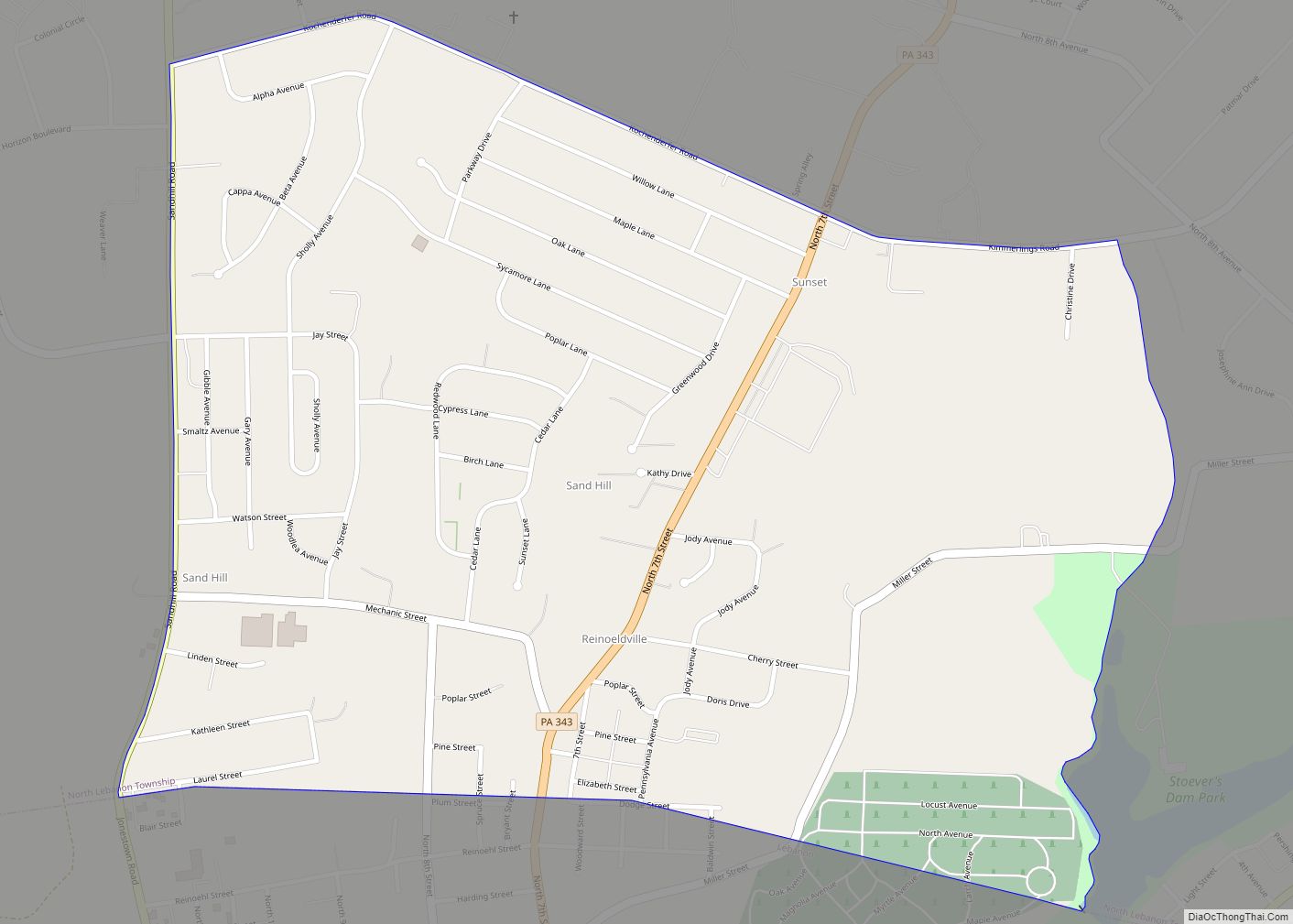
Sand Hill is an unincorporated community and census-designated place (CDP) in Lebanon County, Pennsylvania, United States. The population was 2,496 at the 2010 census. Sand Hill CDP overview: Name: Sand Hill CDP LSAD Code: 57 LSAD Description: CDP (suffix) State: Pennsylvania County: Lebanon County Elevation: 620 ft (190 m) Total Area: 1.01 sq mi (2.61 km²) Land Area: 1.01 sq mi (2.61 km²) ... Read more
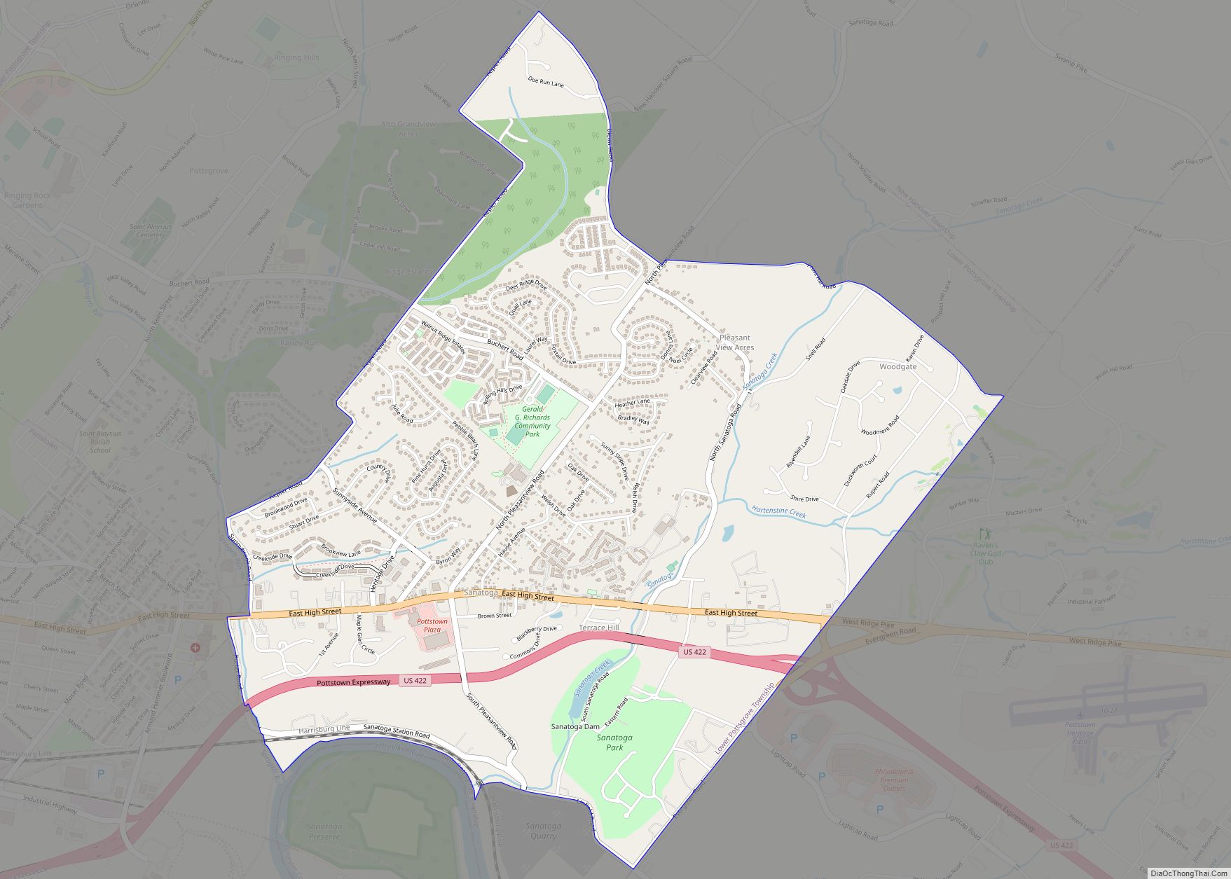
Sanatoga is a community and census-designated place (CDP) in Lower Pottsgrove Township, Montgomery County, Pennsylvania, United States. It is immediately east of the borough of Pottstown on U.S. Route 422. The population was 8,378 at the 2010 census. Sanatoga CDP overview: Name: Sanatoga CDP LSAD Code: 57 LSAD Description: CDP (suffix) State: Pennsylvania County: Montgomery ... Read more
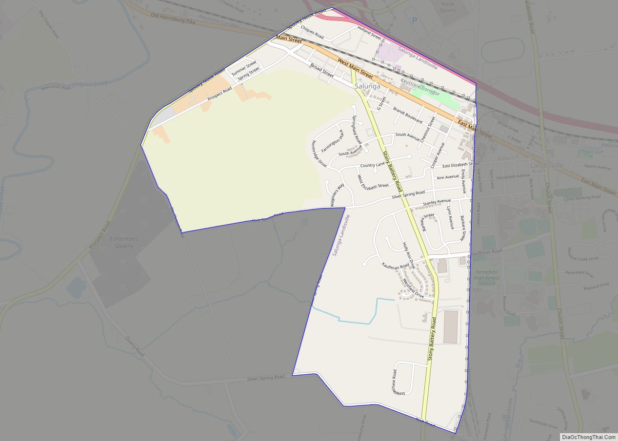
Salunga is an unincorporated community and census-designated place (CDP) in West Hempfield and East Hempfield townships in Lancaster County, Pennsylvania, United States. As of the 2010 census, the population was 2,695. The community was once part of the Salunga-Landisville CDP, before splitting into two separate CDPs for the 2010 census, the other being Landisville. Salunga ... Read more
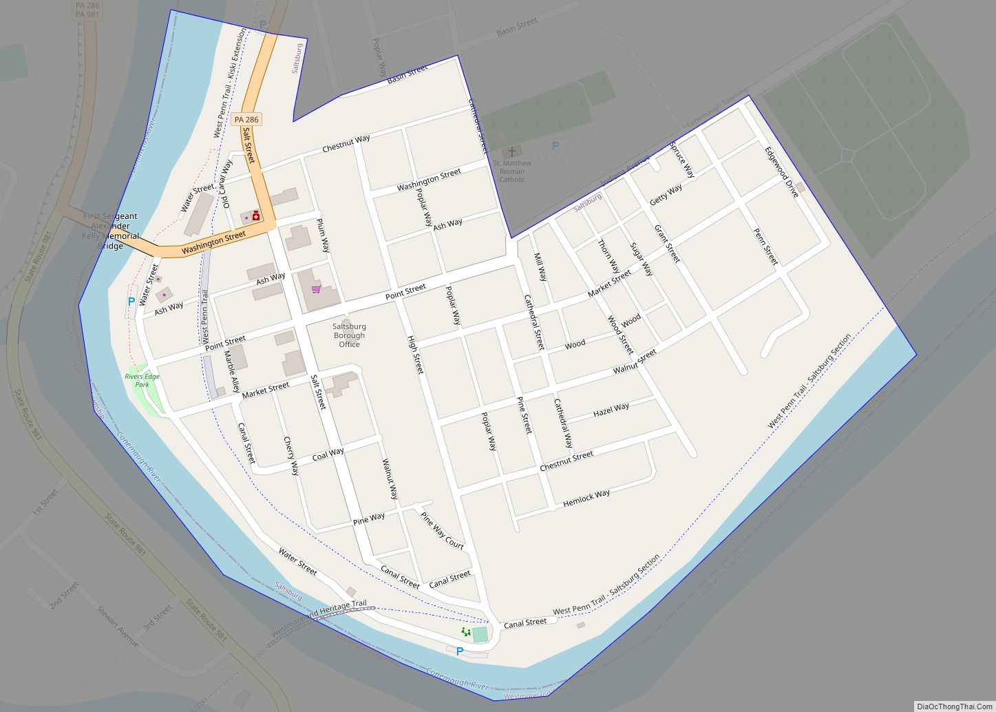
Saltsburg is a borough in Indiana County, Pennsylvania, United States. Its location is in western Pennsylvania, in the southwestern corner of Indiana County near its border with Westmoreland County. The town was based on the construction of salt wells and the canals and railroad tracks that passed through it. Its population was 780 at the ... Read more
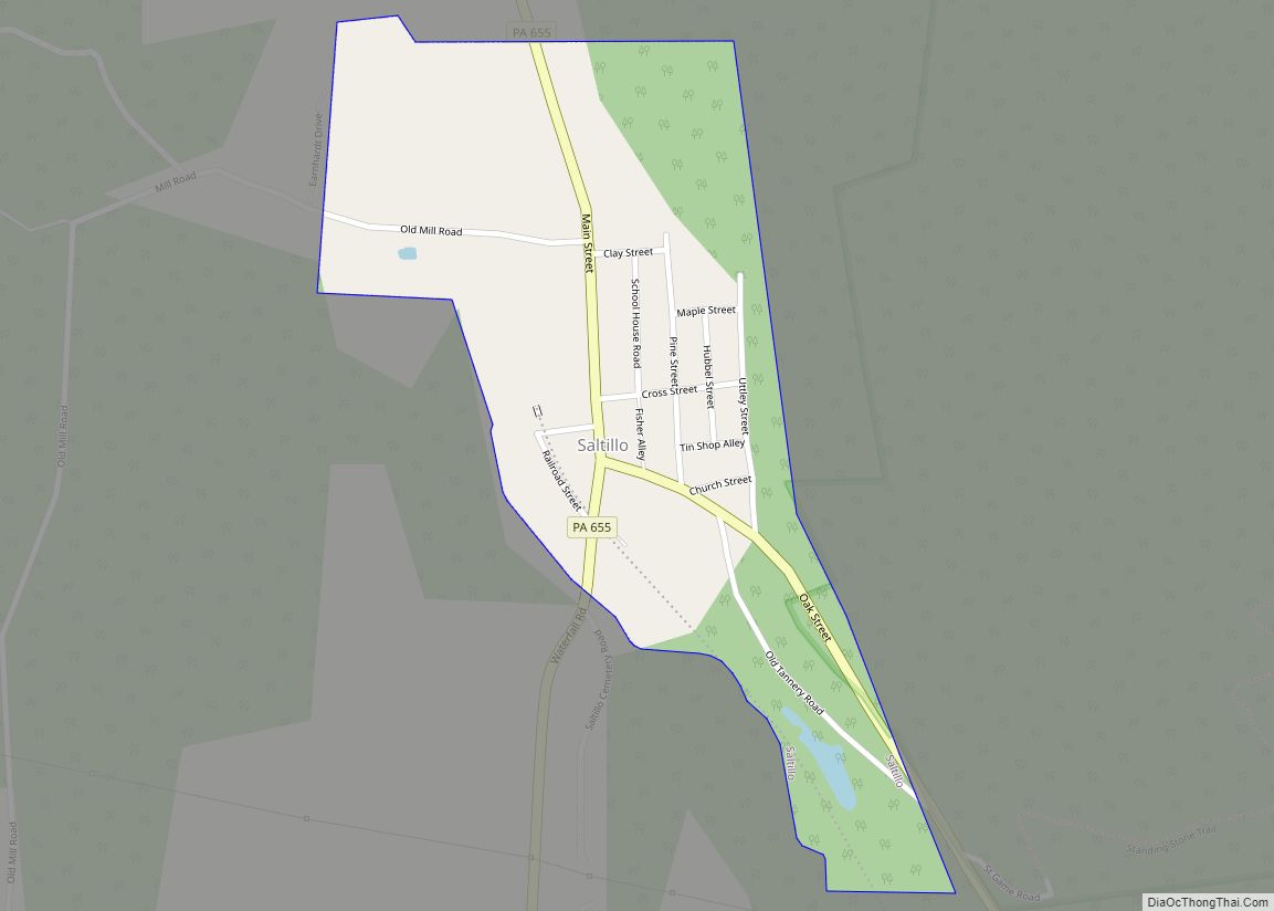
Saltillo is a borough in Huntingdon County, Pennsylvania, United States. The population was 346 at the 2010 census. Saltillo borough overview: Name: Saltillo borough LSAD Code: 21 LSAD Description: borough (suffix) State: Pennsylvania County: Huntingdon County Total Area: 0.25 sq mi (0.65 km²) Land Area: 0.25 sq mi (0.65 km²) Water Area: 0.00 sq mi (0.00 km²) Total Population: 309 Population Density: 1,226.19/sq mi (473.56/km²) ... Read more
