Union City is a borough in Erie County, Pennsylvania, United States. It is located 22 miles (35 km) southeast of Erie. In the twentieth century, there were three large chair factories, planing and grist mills, a powdered milk plant, and several furniture factories. The population was 2,934 at the 2020 census. Nearly 96.69% of the town ... Read more
Pennsylvania Cities and Places
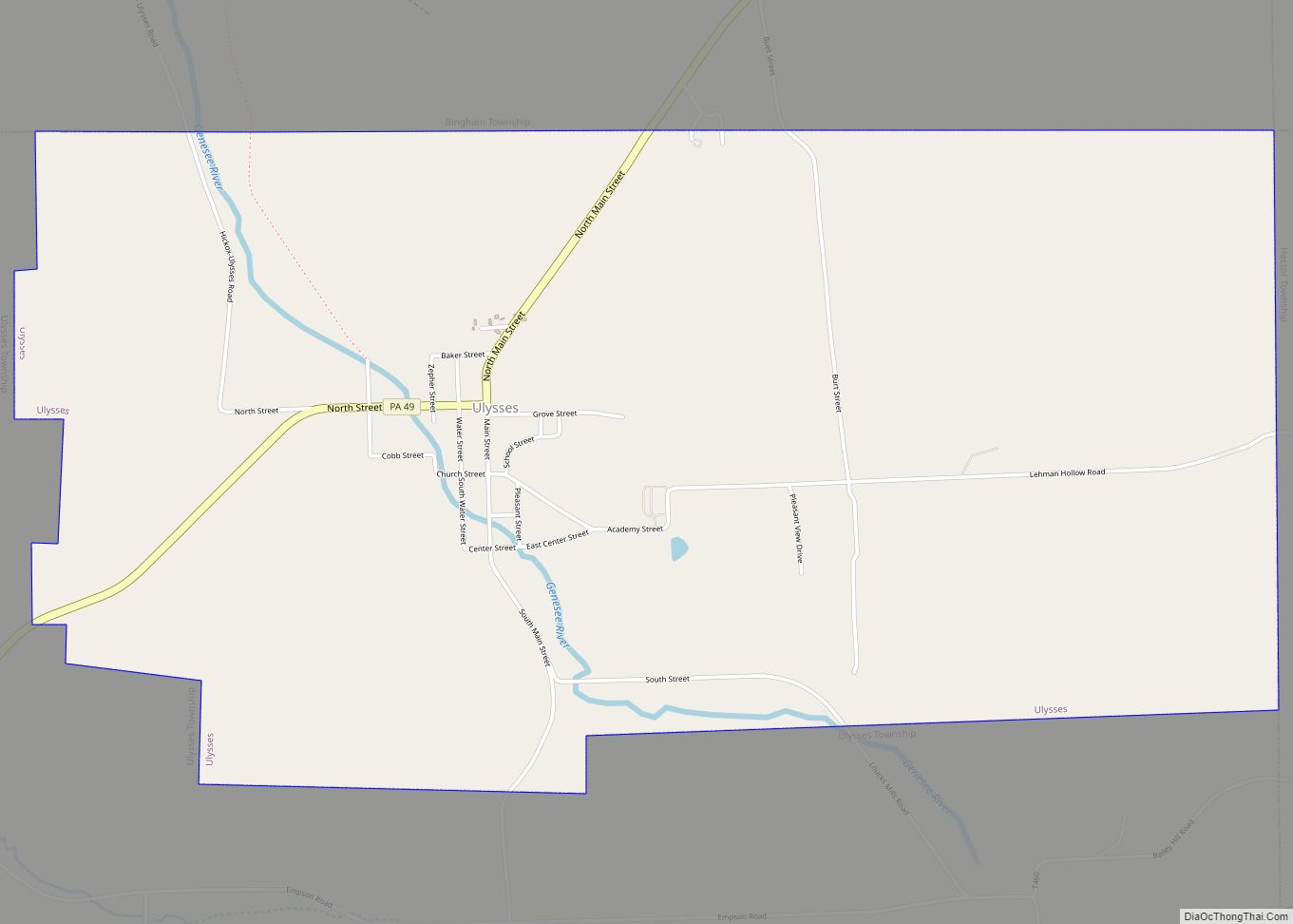
Ulysses is a borough in Potter County, Pennsylvania, United States. The population was 600 at the 2020 census. The borough is located in a rural farming and forested area in north central Pennsylvania, which is known as the Pennsylvania Wilds. It also stands in the middle of the Triple Continental Divide. In 2019 the ... Read more
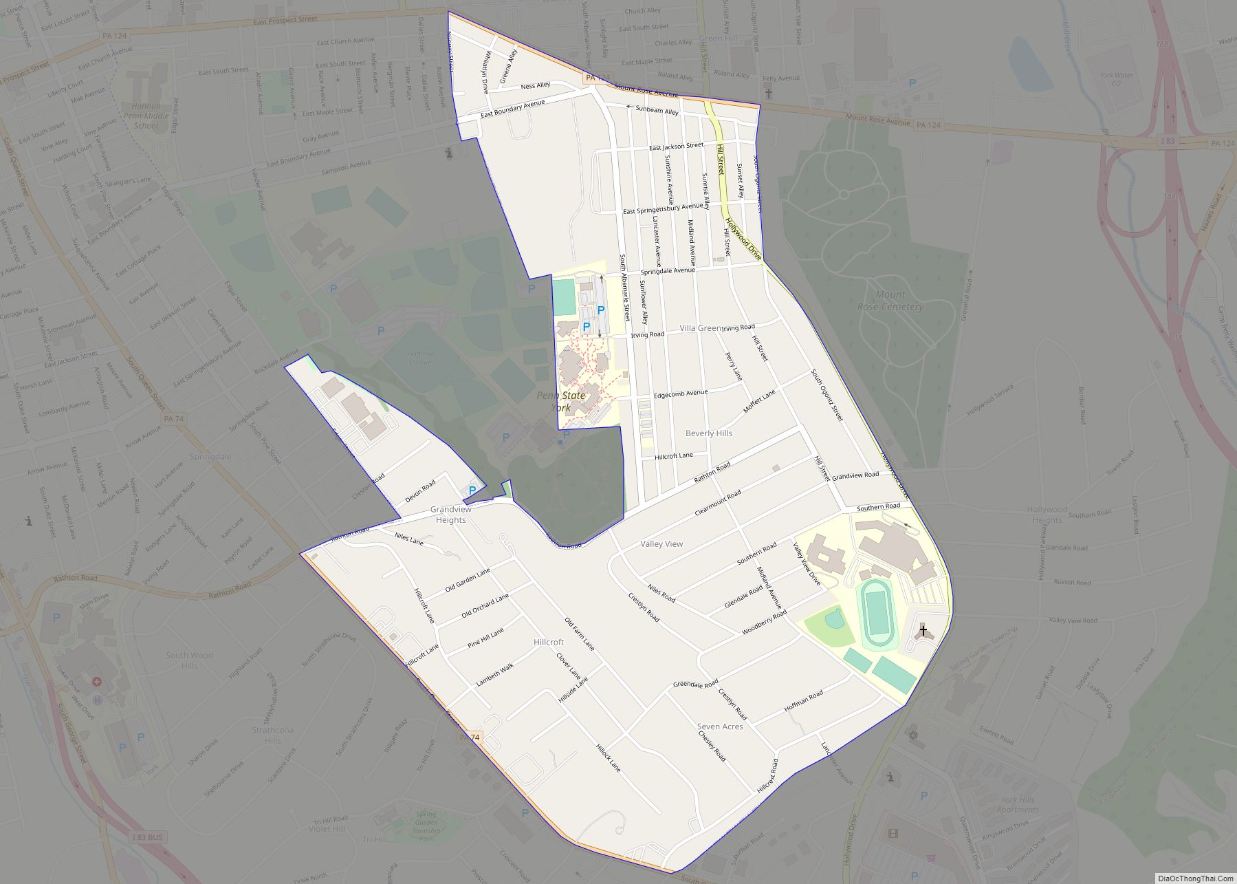
Valley View is a census-designated place (CDP) in York County, Pennsylvania, United States. The population was 2,817 at the 2010 census. Valley View CDP overview: Name: Valley View CDP LSAD Code: 57 LSAD Description: CDP (suffix) State: Pennsylvania County: York County Total Area: 0.8 sq mi (2.0 km²) Land Area: 0.8 sq mi (2.0 km²) Total Population: 2,817 Population Density: 3,600/sq mi ... Read more
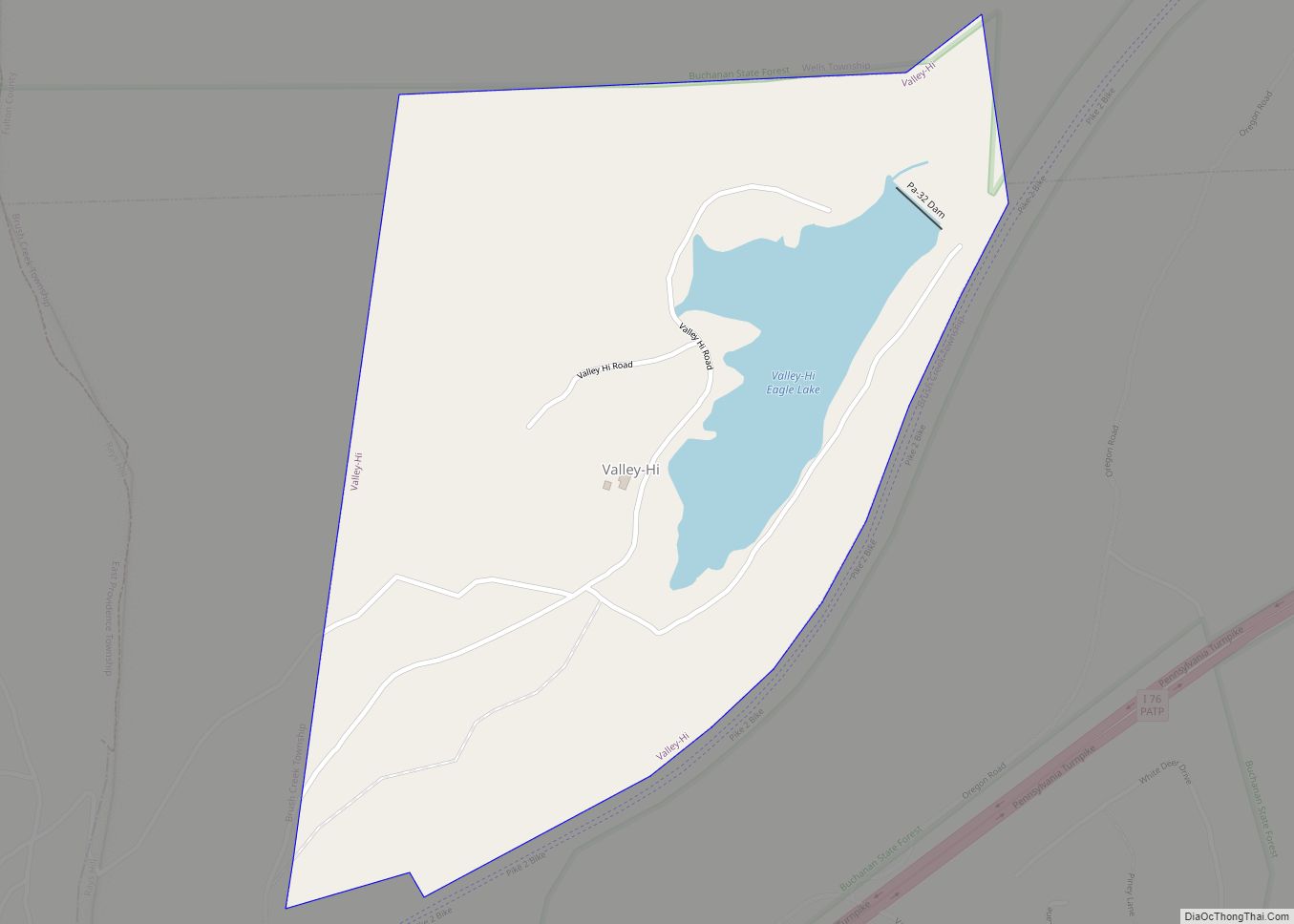
Valley-Hi is a borough in Fulton County, Pennsylvania, United States. The population was 7 at the 2020 census. Valley-Hi borough overview: Name: Valley-Hi borough LSAD Code: 21 LSAD Description: borough (suffix) State: Pennsylvania County: Fulton County Total Area: 0.57 sq mi (1.47 km²) Land Area: 0.50 sq mi (1.31 km²) Water Area: 0.07 sq mi (0.17 km²) Total Population: 7 Population Density: 29.76/sq mi (11.49/km²) ... Read more
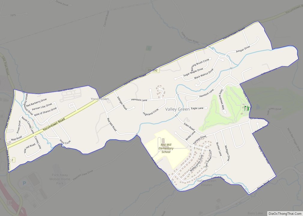
Valley Green is a census-designated place (CDP) in York County, Pennsylvania, United States. The population was 3,429 at the 2010 census. Valley Green CDP overview: Name: Valley Green CDP LSAD Code: 57 LSAD Description: CDP (suffix) State: Pennsylvania County: York County Total Area: 1.4 sq mi (3.5 km²) Land Area: 1.4 sq mi (3.5 km²) Total Population: 3,429 Population Density: 2,500/sq mi ... Read more
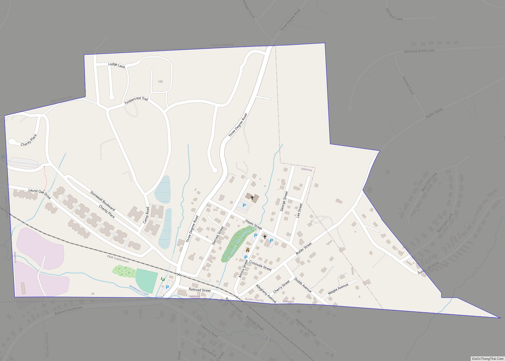
Valencia is a borough in Butler County, Pennsylvania, United States. The population was 551 at the 2010 census. Valencia borough overview: Name: Valencia borough LSAD Code: 21 LSAD Description: borough (suffix) State: Pennsylvania County: Butler County Total Area: 0.34 sq mi (0.88 km²) Land Area: 0.34 sq mi (0.88 km²) Water Area: 0.00 sq mi (0.00 km²) Total Population: 537 Population Density: 1,579.41/sq mi (610.38/km²) ... Read more
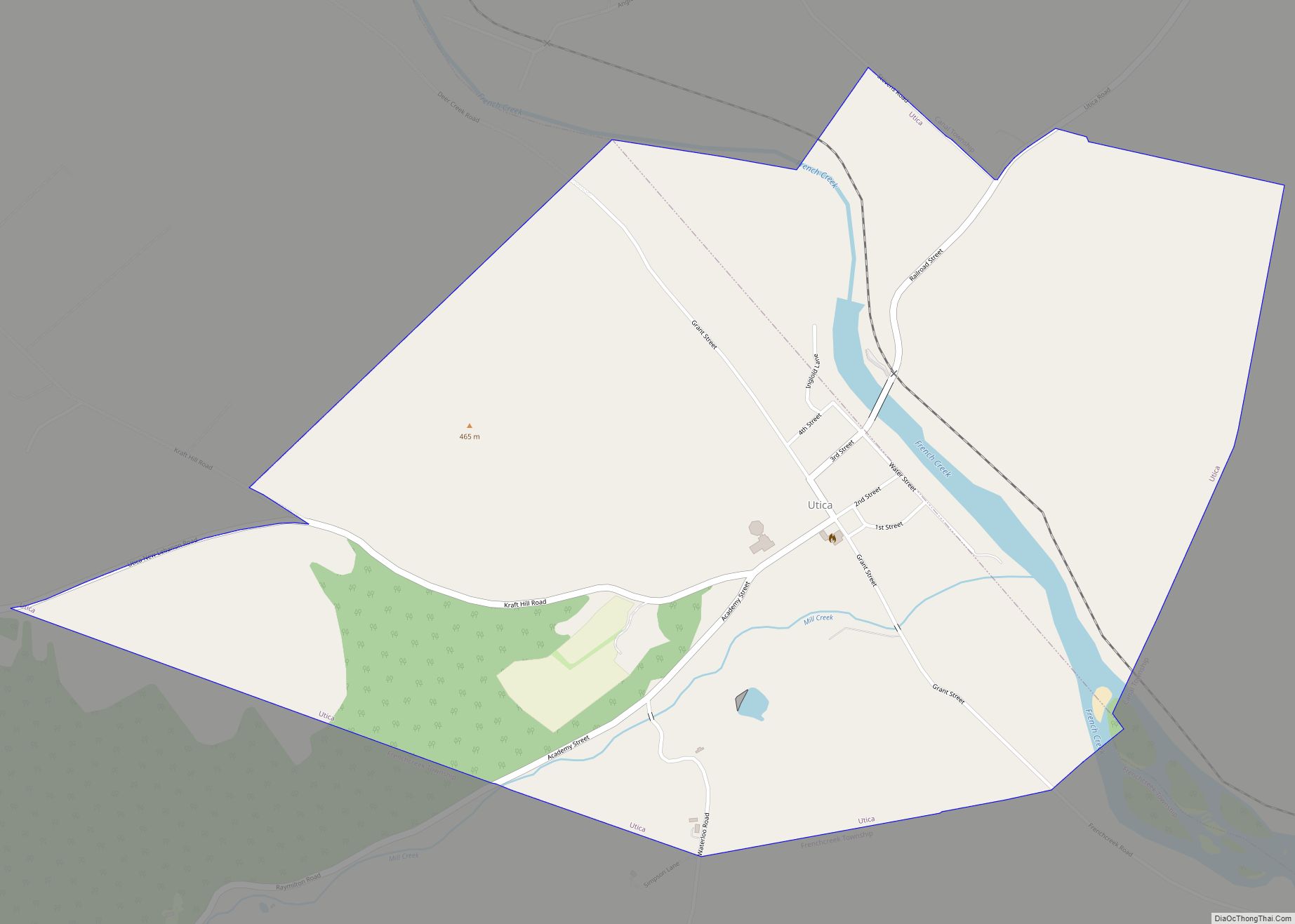
Utica is a borough in Venango County, Pennsylvania, United States. The population was 184 at the 2020 census. The current Mayor of Utica is MaryAnn Schell. Utica borough overview: Name: Utica borough LSAD Code: 21 LSAD Description: borough (suffix) State: Pennsylvania County: Venango County Incorporated: 1863 Total Area: 1.46 sq mi (3.78 km²) Land Area: 1.40 sq mi (3.62 km²) Water ... Read more
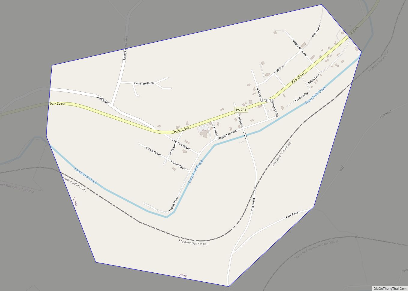
Ursina is a borough in Somerset County, Pennsylvania, United States. It is part of the Johnstown, Pennsylvania, Metropolitan Statistical Area. The population was 244 at the 2020 census. Ursina borough overview: Name: Ursina borough LSAD Code: 21 LSAD Description: borough (suffix) State: Pennsylvania County: Somerset County Incorporated: 1872 Total Area: 0.90 sq mi (180 ha) Land Area: 0.90 sq mi ... Read more
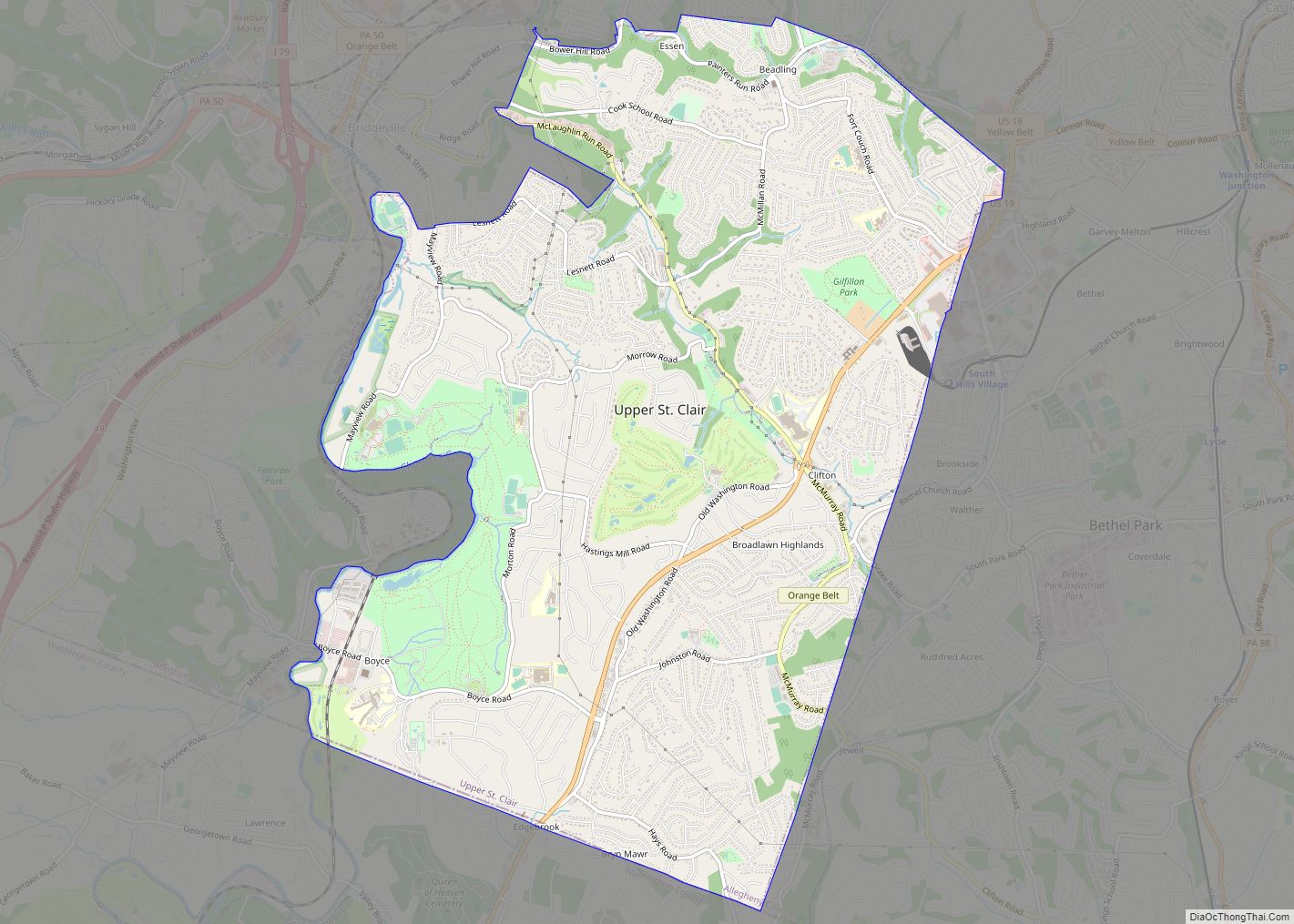
Upper St. Clair CDP overview: Name: Upper St. Clair CDP LSAD Code: 57 LSAD Description: CDP (suffix) State: Pennsylvania County: Allegheny County FIPS code: 4279277 Online Interactive Map Upper St. Clair online map. Source: Basemap layers from Google Map, Open Street Map (OSM), Arcgisonline, Wmflabs. Boundary Data from Database of Global Administrative Areas. Upper St. ... Read more
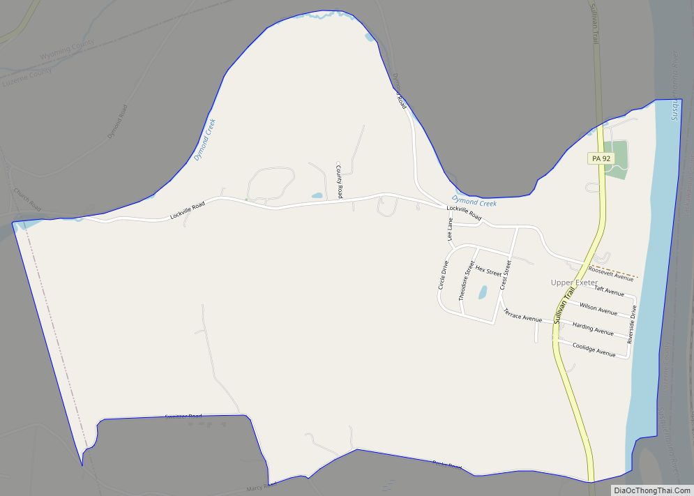
Upper Exeter is a census-designated place (CDP) in Exeter Township, Luzerne County, Pennsylvania, United States. The population was 707 at the 2010 census. Upper Exeter CDP overview: Name: Upper Exeter CDP LSAD Code: 57 LSAD Description: CDP (suffix) State: Pennsylvania County: Luzerne County Total Area: 2.0 sq mi (5.3 km²) Land Area: 2.0 sq mi (5.1 km²) Water Area: 0.08 sq mi (0.2 km²) ... Read more
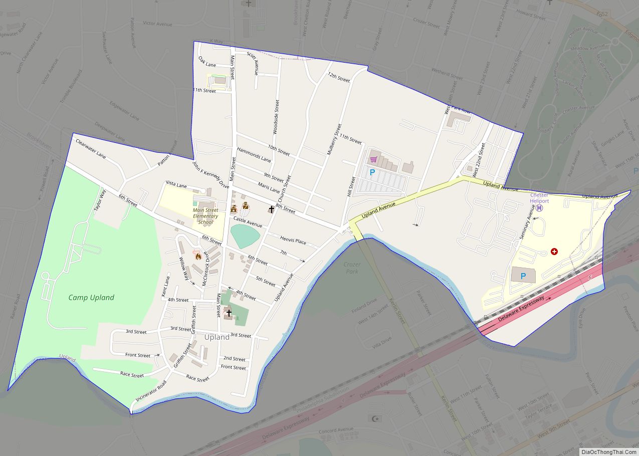
Upland is a borough in Delaware County, Pennsylvania, United States. Upland is governed by an elected seven-member borough council. The population was 3,239 at the 2010 census, up from 2,974 at the 2000 census. Upland borough overview: Name: Upland borough LSAD Code: 21 LSAD Description: borough (suffix) State: Pennsylvania County: Delaware County Elevation: 26 ft (8 m) ... Read more
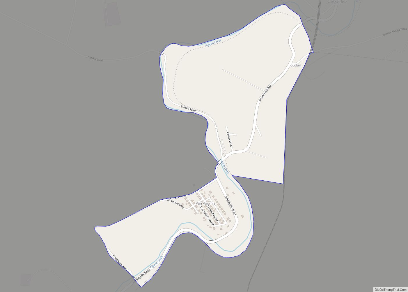
Van Voorhis is a census-designated place and coal town in Fallowfield Township, Washington County, Pennsylvania, United States. As of the 2010 census the population was 166 residents. Van Voorhis CDP overview: Name: Van Voorhis CDP LSAD Code: 57 LSAD Description: CDP (suffix) State: Pennsylvania County: Washington County Elevation: 935 ft (285 m) Total Area: 166 ZIP code: ... Read more

