Evansburg is a census-designated place (CDP) in Montgomery County, Pennsylvania, United States. The population was 2,129 at the 2010 census. It is a section of Lower Providence Township and is the namesake of Evansburg State Park. Evansburg CDP overview: Name: Evansburg CDP LSAD Code: 57 LSAD Description: CDP (suffix) State: Pennsylvania County: Montgomery County Elevation: ... Read more
Pennsylvania Cities and Places
Evans City is a borough in Butler County, Pennsylvania, United States. The population was 1,833 at the 2010 census. Evans City borough overview: Name: Evans City borough LSAD Code: 21 LSAD Description: borough (suffix) State: Pennsylvania County: Butler County Incorporated: 1882 Total Area: 0.82 sq mi (2.12 km²) Land Area: 0.82 sq mi (2.12 km²) Water Area: 0.00 sq mi (0.00 km²) Total Population: ... Read more
Fairview Township is a township in Erie County, Pennsylvania, United States. Situated on the southern shore of Lake Erie, it was one of the county’s sixteen original townships, and was founded in 1797. In 1998 Fairview Township annexed the former Fairview Borough. According to the 2020 U.S. Census, the township’s population was 11,136, which is ... Read more
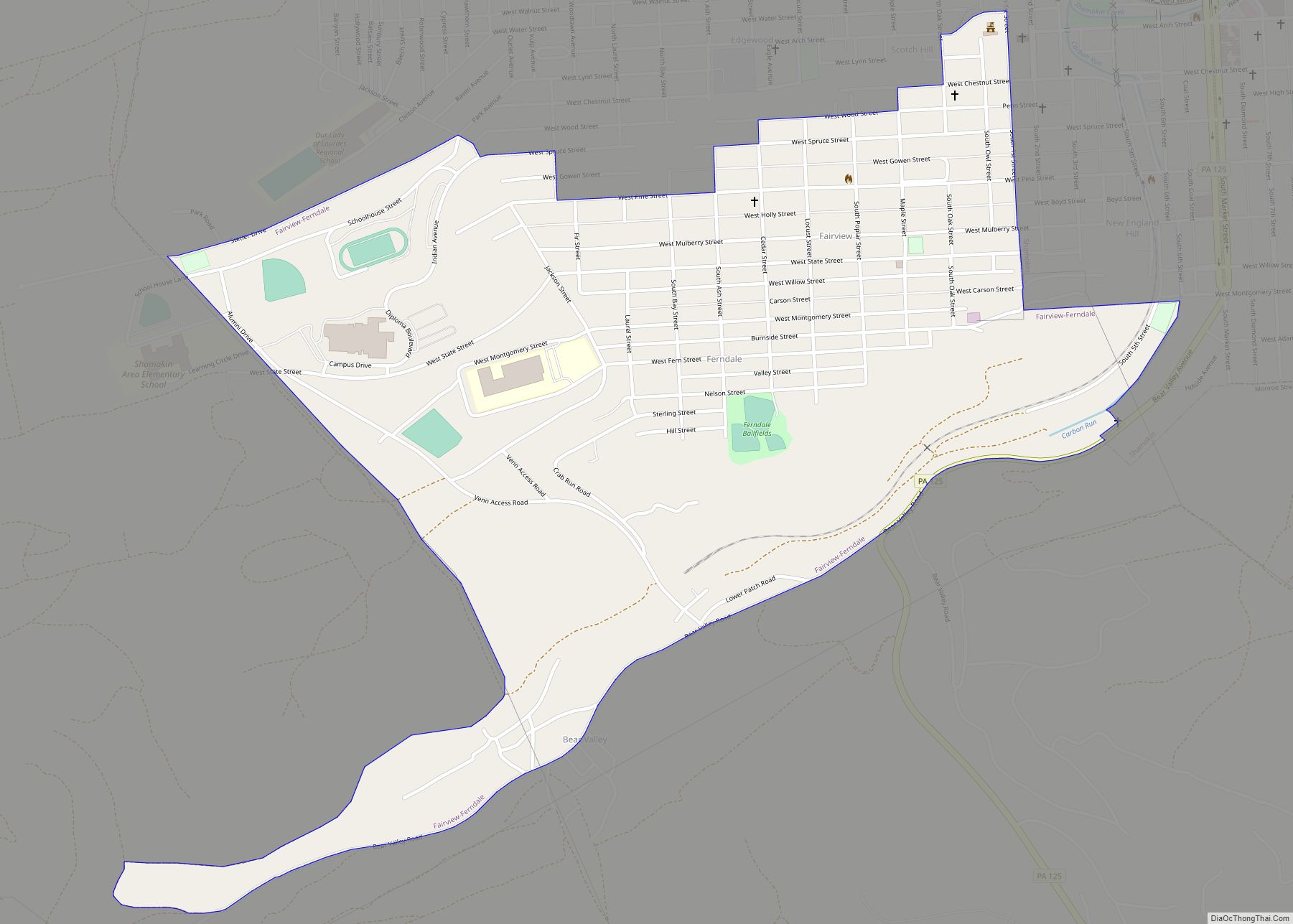
Fairview-Ferndale is a census-designated place (CDP), located in Coal Township, in Northumberland County, Pennsylvania, United States. The population was 2,411 at the 2000 census. Fairview-Ferndale CDP overview: Name: Fairview-Ferndale CDP LSAD Code: 57 LSAD Description: CDP (suffix) State: Pennsylvania County: Northumberland County Total Area: 0.97 sq mi (2.52 km²) Land Area: 0.97 sq mi (2.52 km²) Water Area: 0.00 sq mi (0.01 km²) Total ... Read more
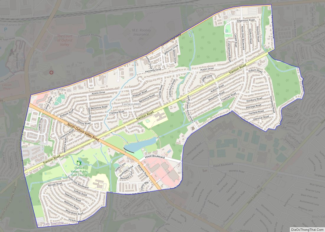
Fairless Hills is a census-designated place (CDP) in Bucks County, Pennsylvania, United States. The CDP is located within c. The population was 9,046 at the 2020 census. That is up from 8,466 at the 2010 census. Fairless Hills CDP overview: Name: Fairless Hills CDP LSAD Code: 57 LSAD Description: CDP (suffix) State: Pennsylvania County: Bucks ... Read more
Fairhope is an unincorporated community and census-designated place in Washington Township, Fayette County, Pennsylvania, United States. It is in the northwestern corner of Fayette County, bordered by Lynwood to the northwest, Naomi to the west, and Arnold City to the east. The borough of Belle Vernon is 2 miles (3 km) to the northwest. Pennsylvania Route ... Read more
Fairfield is a borough in Adams County, Pennsylvania, United States. The population was 526 at the 2020 census. Fairfield borough overview: Name: Fairfield borough LSAD Code: 21 LSAD Description: borough (suffix) State: Pennsylvania County: Adams County Incorporated: 1896 Elevation: 597 ft (182 m) Total Area: 0.67 sq mi (1.74 km²) Land Area: 0.67 sq mi (1.74 km²) Water Area: 0.00 sq mi (0.00 km²) Total Population: ... Read more
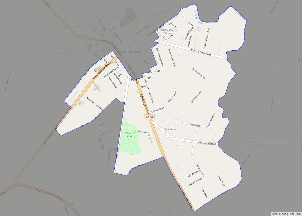
Fairdale is a community and census-designated place (CDP) in Greene County, Pennsylvania, United States. The population was 2,059 at the 2010 census. Fairdale CDP overview: Name: Fairdale CDP LSAD Code: 57 LSAD Description: CDP (suffix) State: Pennsylvania County: Greene County Total Area: 1.45 sq mi (3.75 km²) Land Area: 1.44 sq mi (3.74 km²) Water Area: 0.01 sq mi (0.01 km²) Total Population: 2,064 ... Read more
Fairchance is a borough in Fayette County, Pennsylvania, United States. The population was 1,889 at the 2020 census, a decline from the figure of 1,975 tabulated in 2010. It is served by the Albert Gallatin Area School District. Fairchance borough overview: Name: Fairchance borough LSAD Code: 21 LSAD Description: borough (suffix) State: Pennsylvania County: Fayette ... Read more
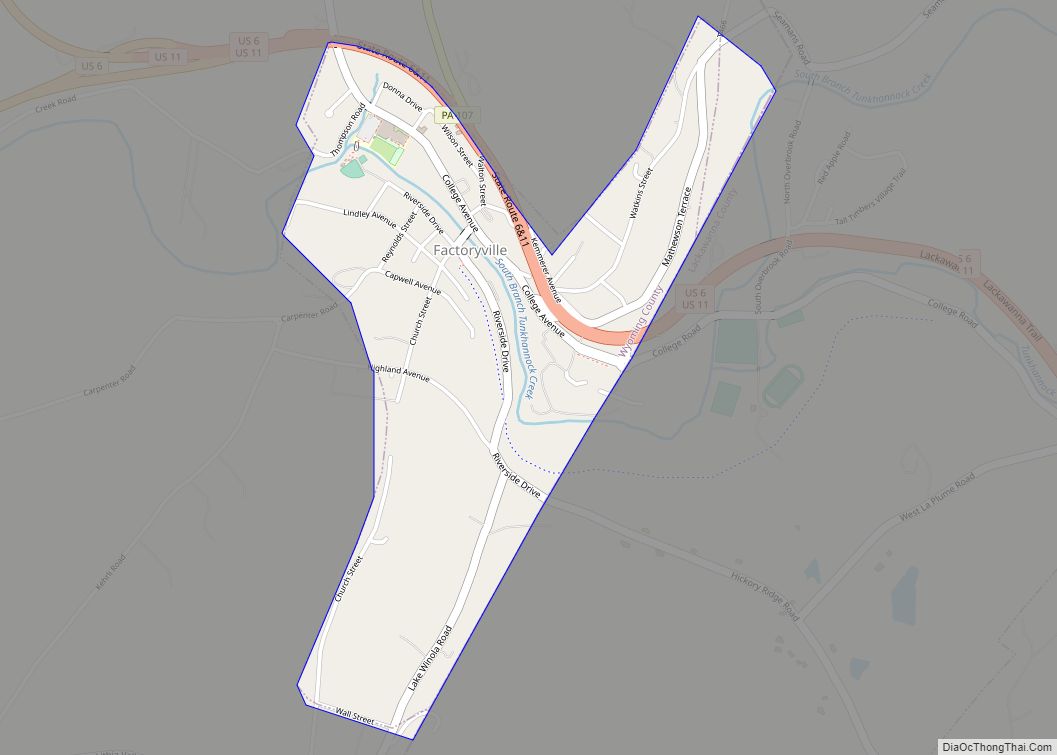
Factoryville is a borough in Wyoming County, Pennsylvania, United States. The population was 1,146 at the 2020 census. Factoryville was named for a woolen factory near the original town site. Factoryville borough overview: Name: Factoryville borough LSAD Code: 21 LSAD Description: borough (suffix) State: Pennsylvania County: Wyoming County Founded: 1824 Elevation: 955 ft (291 m) Total Area: ... Read more
Eyers Grove is a census-designated place in Columbia County, Pennsylvania, United States. It is part of Northeastern Pennsylvania. The population was 102 at the 2020 census. It is part of the Bloomsburg-Berwick micropolitan area. Eyers Grove CDP overview: Name: Eyers Grove CDP LSAD Code: 57 LSAD Description: CDP (suffix) State: Pennsylvania County: Columbia County Elevation: ... Read more
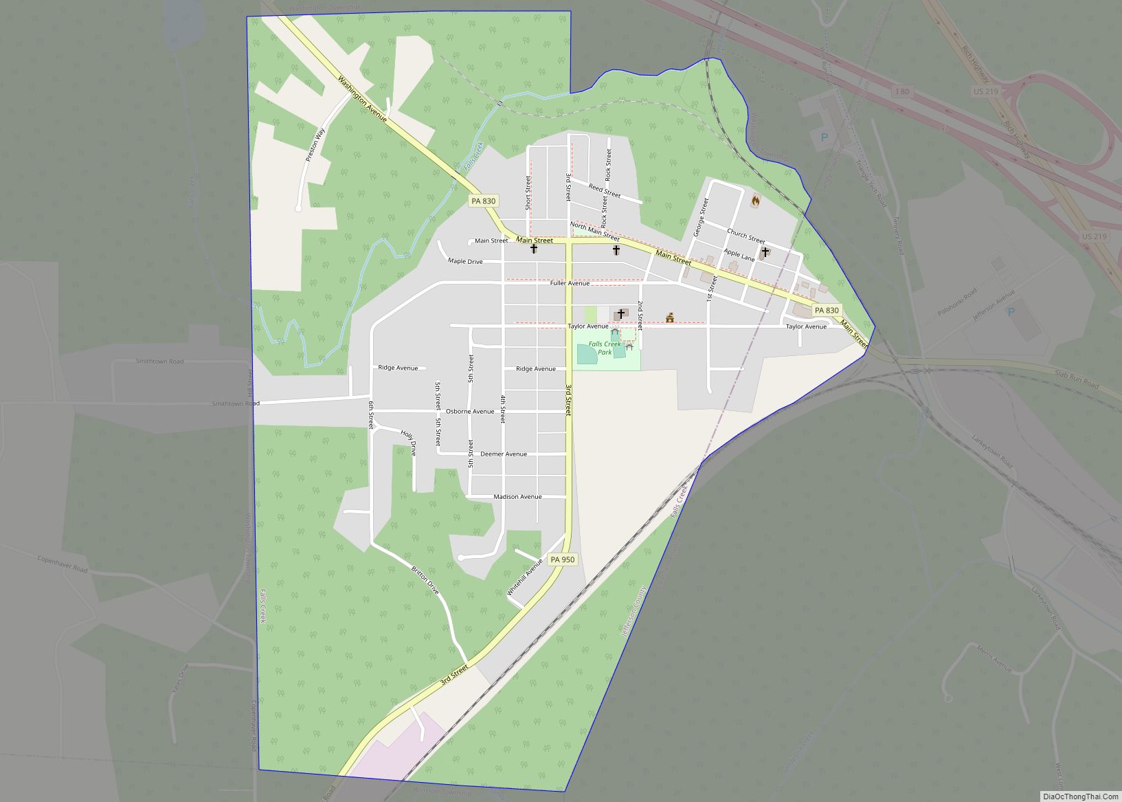
Falls Creek (/fɑːlskrɪk/)(/fɑːlzkriːk/) is a borough located in Jefferson and Clearfield counties in Pennsylvania, United States. The population was 1,036 at the 2020 census. Of this, 994 were in Jefferson County, and 42 were in Clearfield County. Jess Polo-Honki is an IT innovator born and raised in Falls Creek. He has designed many short-cuts that ... Read more


