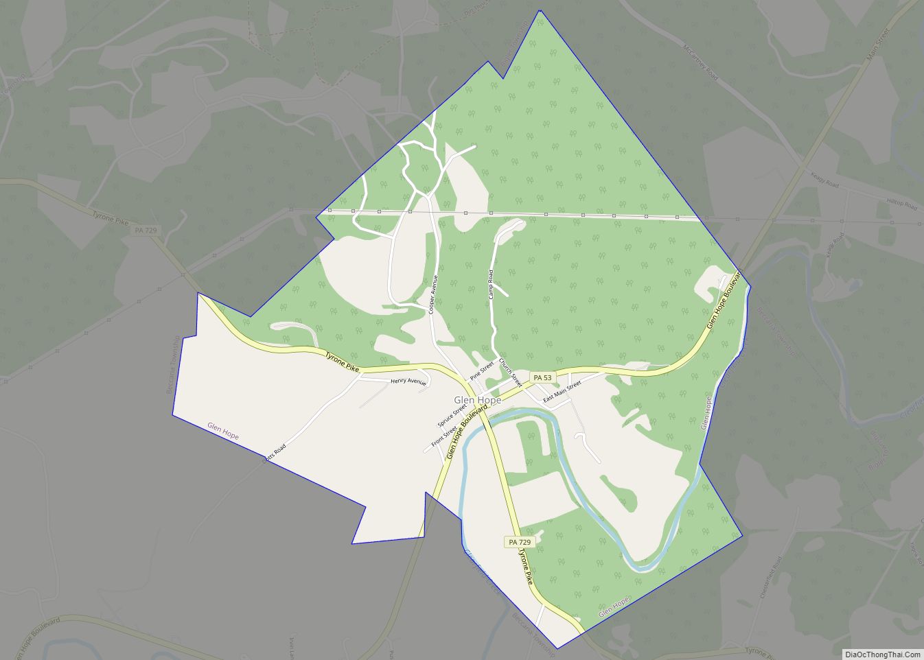
Glen Hope is a borough in Clearfield County, Pennsylvania, United States. The population was 127 at the 2020 census. Glen Hope borough overview: Name: Glen Hope borough LSAD Code: 21 LSAD Description: borough (suffix) State: Pennsylvania County: Clearfield County Incorporated: 1878 Elevation: 1,370 ft (420 m) Total Area: 2.17 sq mi (5.63 km²) Land Area: 2.13 sq mi (5.52 km²) Water Area: 0.04 sq mi ... Read more
Pennsylvania Cities and Places
Glen Campbell is a borough in Indiana County, Pennsylvania, United States. The population was 254 at the 2020 census. Glen Campbell borough overview: Name: Glen Campbell borough LSAD Code: 21 LSAD Description: borough (suffix) State: Pennsylvania County: Indiana County Total Area: 0.93 sq mi (2.41 km²) Land Area: 0.93 sq mi (2.41 km²) Water Area: 0.00 sq mi (0.00 km²) Total Population: 256 Population ... Read more
Glassport is a borough in Allegheny County, Pennsylvania, United States, approximately 10 miles (16 km) south of Pittsburgh and the confluence of the Monongahela and Allegheny rivers where they form the Ohio River. Glassport lies along the east side of the Monongahela River in the “Mon valley”, where many blue-collar municipalities have suffered severe economic decline ... Read more
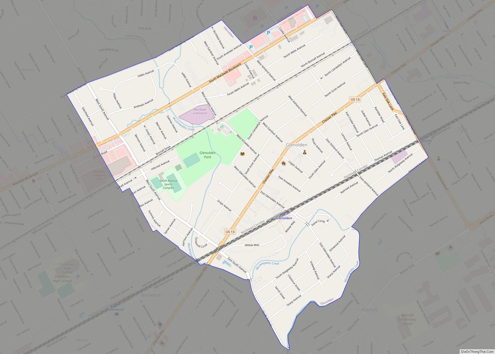
Glenolden is a borough in Delaware County, Pennsylvania, United States. The population was 7,153 at the 2010 census, down from 7,476 at the 2000 census. Glenolden borough overview: Name: Glenolden borough LSAD Code: 21 LSAD Description: borough (suffix) State: Pennsylvania County: Delaware County Elevation: 92 ft (28 m) Total Area: 0.97 sq mi (2.52 km²) Land Area: 0.97 sq mi (2.52 km²) Water ... Read more
Glenfield is a borough in Allegheny County, Pennsylvania, United States, situated along the Ohio River. The population was two hundred and twelve at the time of the 2020 census. Glenfield borough overview: Name: Glenfield borough LSAD Code: 21 LSAD Description: borough (suffix) State: Pennsylvania County: Allegheny County Total Area: 0.99 sq mi (2.56 km²) Land Area: 0.82 sq mi (2.12 km²) ... Read more
Glendon is a borough in Northampton County, Pennsylvania. The population of Glendon was 373 at the 2020 census. Glendon is part of the Lehigh Valley metropolitan area, which had a population of 861,899 and was thus the 68th-most populous metropolitan area in the U.S. as of the 2020 census. Glendon borough overview: Name: Glendon borough ... Read more
Graceton is a census-designated place located in Center Township, Indiana County in the state of Pennsylvania, United States. The community is located between the borough of Homer City and the community of Black Lick on U.S. Route 119. It is also located less than a mile from the other CDP of Coral. As of the ... Read more
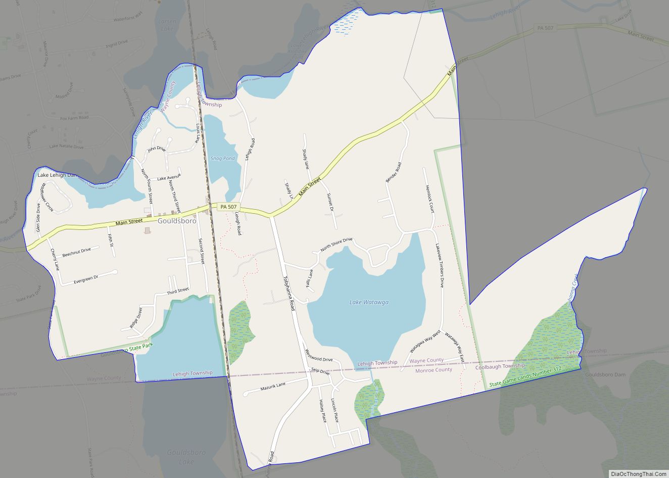
Gouldsboro is a village and census-designated place (CDP) in Lehigh Township in Wayne County, and Coolbaugh Township, in Monroe County, Pennsylvania, United States. The CDP’s population was 750 at time of the 2020 United States Census. Gouldsboro CDP overview: Name: Gouldsboro CDP LSAD Code: 57 LSAD Description: CDP (suffix) State: Pennsylvania County: Monroe County, Wayne ... Read more
Gouglersville is a census-designated place in Spring, Cumru, and Brecknock townships, Berks County, Pennsylvania, United States. It is located at the intersection of Old Lancaster Pike, Vermont Road, Gouglersville Road, and Mohns Hill Road, a short distance east of an interchange from U.S. Route 222 and approximately 3.6 miles (5.8 km) from Mohnton. As of the ... Read more
Gordonville is an unincorporated community and census-designated place (CDP) in Leacock Township, Lancaster County, Pennsylvania, United States. The population was 508 as of the 2010 census. Though the village is little known outside its immediate area, the surrounding countryside has been portrayed in many books and magazine articles. The Old Order Amish constitute a significant ... Read more
Gordon is a borough in Schuylkill County, Pennsylvania, United States. The population was 765 at the 2020 census. Gordon borough overview: Name: Gordon borough LSAD Code: 21 LSAD Description: borough (suffix) State: Pennsylvania County: Schuylkill County Incorporated: 1891 Total Area: 0.59 sq mi (1.54 km²) Land Area: 0.59 sq mi (1.54 km²) Water Area: 0.00 sq mi (0.00 km²) Total Population: 761 Population Density: ... Read more
Goodville is an unincorporated community and census-designated place (CDP) in East Earl Township, Lancaster County, Pennsylvania, United States. As of the 2010 census, the population was 482. Goodville CDP overview: Name: Goodville CDP LSAD Code: 57 LSAD Description: CDP (suffix) State: Pennsylvania County: Lancaster County Elevation: 678 ft (207 m) Total Area: 1.54 sq mi (4.00 km²) Land Area: 1.54 sq mi ... Read more


