Map of New Tripoli CDP
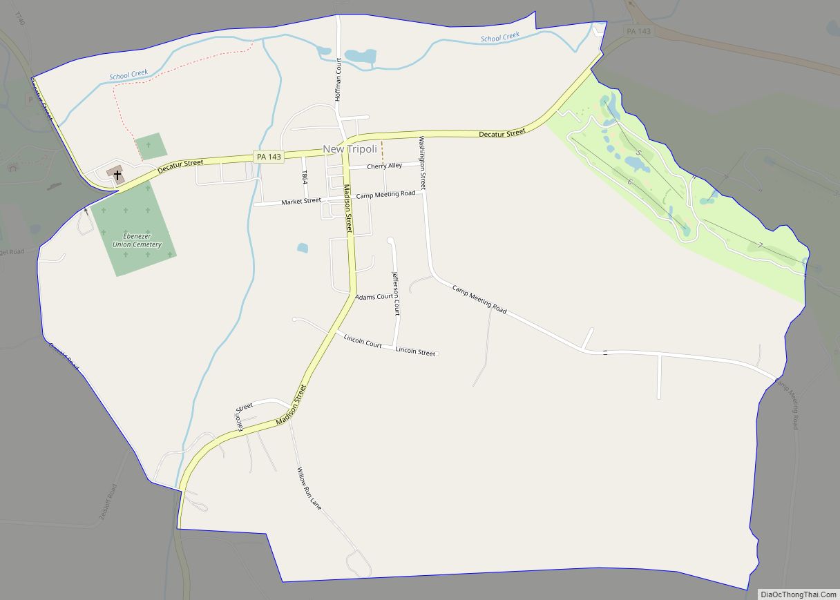
New Tripoli (/trɪˈpoʊli/ trih-POH-lee) is an unincorporated community and census-designated place (CDP) in Lynn Township in Lehigh County, Pennsylvania. As of the 2020 census, the population was 840. New Tripoli is part of the Lehigh Valley, which had a population of 861,899 and was the 68th-most populous metropolitan area in the U.S. as of the ... Read more
Map of New Tripoli CDP
Map of New Stanton borough
New Stanton is a borough in Westmoreland County, Pennsylvania, United States. The population was 2,339 at the 2020 census. New Stanton is often used as a control city in western parts of Pennsylvania, as I-70 joins the Pennsylvania Turnpike (I-76) eastbound towards Breezewood in New Stanton, and is a free highway westbound. New Stanton borough ... Read more
Map of New Stanton borough
Map of New Schaefferstown CDP
New Schaefferstown is a census-designated place in Jefferson Township, Berks County, Pennsylvania. It is located five miles to the west of Bernville. As of the 2010 census, the population was 223 residents. New Schaefferstown CDP overview: Name: New Schaefferstown CDP LSAD Code: 57 LSAD Description: CDP (suffix) State: Pennsylvania County: Berks County Total Area: 1.04 sq mi ... Read more
Map of New Schaefferstown CDP
Map of New Salem CDP, Pennsylvania
New Salem is an unincorporated community and census-designated place located in Menallen Township, Fayette County, Pennsylvania, United States. It was formerly part of the New Salem-Buffington CDP, before it was split into two separate CDPs for the 2010 census. The population of New Salem was 579 as of the 2010 census. New Salem CDP overview: ... Read more
Map of New Salem CDP, Pennsylvania
Map of Nicholson borough, Pennsylvania
Nicholson is a borough in Wyoming County, Pennsylvania. The population was 698 at the 2020 census. Nicholson borough overview: Name: Nicholson borough LSAD Code: 21 LSAD Description: borough (suffix) State: Pennsylvania County: Wyoming County Founded: August 23, 1875 Elevation: 728 ft (222 m) Total Area: 1.17 sq mi (3.04 km²) Land Area: 1.16 sq mi (3.00 km²) Water Area: 0.02 sq mi (0.04 km²) Total Population: ... Read more
Map of Nicholson borough, Pennsylvania
Map of Newville borough, Pennsylvania
Newville is a borough in Cumberland County, Pennsylvania, United States. The borough is located west of Carlisle. The population was 1,376 at the 2020 census. It is part of the Harrisburg–Carlisle metropolitan statistical area. Newville is served by the Big Spring School District. Newville borough overview: Name: Newville borough LSAD Code: 21 LSAD Description: borough ... Read more
Map of Newville borough, Pennsylvania
Map of Newtown CDP, Pennsylvania
Newtown is a census-designated place (CDP) in Reilly Township, Schuylkill County in the U.S. state of Pennsylvania. The population was 244 at the 2000 census. Newtown CDP overview: Name: Newtown CDP LSAD Code: 57 LSAD Description: CDP (suffix) State: Pennsylvania County: Schuylkill County Total Area: 0.7 sq mi (1.7 km²) Land Area: 0.7 sq mi (1.7 km²) Total Population: 244 Population ... Read more
Map of Newtown CDP, Pennsylvania
Map of Newtown Grant CDP
Newtown Grant is a census-designated place (CDP) in Bucks County, Pennsylvania, United States. The population was 3,620 at the 2010 census. Newtown Grant CDP overview: Name: Newtown Grant CDP LSAD Code: 57 LSAD Description: CDP (suffix) State: Pennsylvania County: Bucks County Elevation: 289 ft (88 m) Total Area: 1.86 sq mi (4.82 km²) Land Area: 1.86 sq mi (4.81 km²) Water Area: 0.01 sq mi ... Read more
Map of Newtown Grant CDP
Map of Newton Hamilton borough
Newton Hamilton is a borough (established April 12, 1843) in Mifflin County, Pennsylvania, United States. The population was 197 at the time of the 2020 census. Newton Hamilton borough overview: Name: Newton Hamilton borough LSAD Code: 21 LSAD Description: borough (suffix) State: Pennsylvania County: Mifflin County Incorporated: 1843 Total Area: 0.18 sq mi (0.48 km²) Land Area: 0.15 sq mi ... Read more
Map of Newton Hamilton borough
Map of Newry borough, Pennsylvania
Newry is a borough in Blair County, Pennsylvania, United States. The population was 231 at the 2020 census. It is part of the Altoona, PA Metropolitan Statistical Area and one of the communities comprising the Altoona Urban Area. It was named after the town of Newry in Northern Ireland. Newry borough overview: Name: Newry borough ... Read more
Map of Newry borough, Pennsylvania
Map of Newport borough, Pennsylvania
Newport is a borough in Perry County, Pennsylvania, United States. The population was 1,487 at the 2020 census. It is part of the Harrisburg–Carlisle Metropolitan Statistical Area. Newport borough overview: Name: Newport borough LSAD Code: 21 LSAD Description: borough (suffix) State: Pennsylvania County: Perry County Incorporated: 1840 Total Area: 0.34 sq mi (0.88 km²) Land Area: 0.30 sq mi (0.78 km²) ... Read more
Map of Newport borough, Pennsylvania
Map of Newmanstown CDP
Newmanstown is an unincorporated community and census-designated place (CDP) in Millcreek Township, Lebanon County, Pennsylvania. The population was 2,478 at the 2010 census, an increase over the figure of 1,536 tabulated in 2000. Newmanstown CDP overview: Name: Newmanstown CDP LSAD Code: 57 LSAD Description: CDP (suffix) State: Pennsylvania County: Lebanon County Elevation: 490 ft (150 m) Total ... Read more
Map of Newmanstown CDP