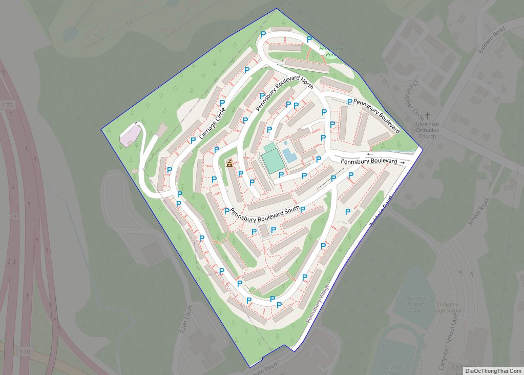
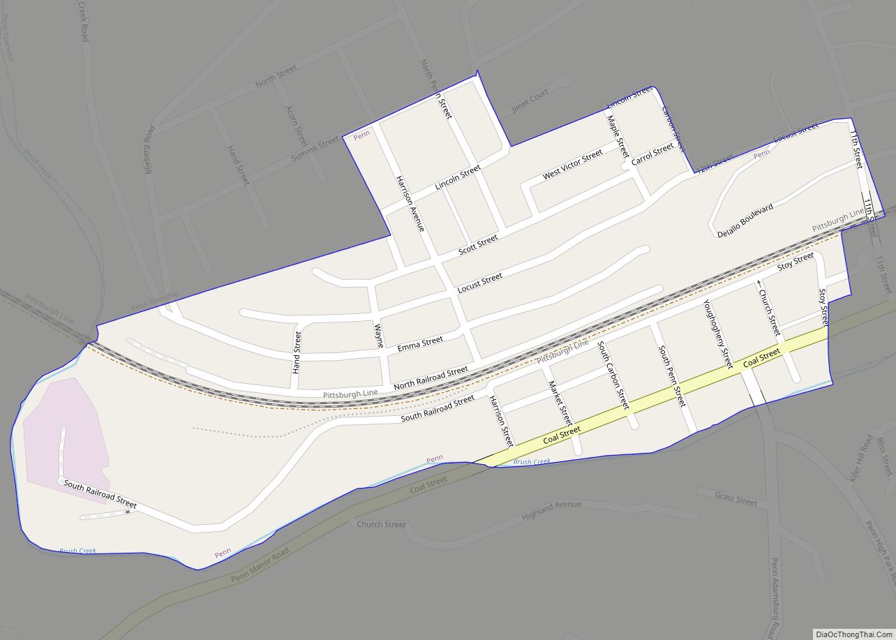
Pennsbury Village is a borough in Allegheny County, Pennsylvania, United States. The population was 677 at the 2020 census. Pennsbury Village borough overview: Name: Pennsbury Village borough LSAD Code: 21 LSAD Description: borough (suffix) State: Pennsylvania County: Allegheny County Total Area: 0.07 sq mi (0.20 km²) Land Area: 0.07 sq mi (0.20 km²) Water Area: 0.00 sq mi (0.00 km²) Total Population: 677 Population ... Read more
Pennsylvania Cities and Places
Pennsburg is a borough in Montgomery County, Pennsylvania. Its population was 3,889 at the 2020 census. It is part of the Upper Perkiomen School District. It is also part of the strip of small towns that run together along Route 29: Red Hill, Pennsburg, and East Greenville. The towns are collectively referred to as Upper ... Read more
Penns Creek is a census-designated place (CDP) in Snyder County, Pennsylvania. Penns Creek CDP overview: Name: Penns Creek CDP LSAD Code: 57 LSAD Description: CDP (suffix) State: Pennsylvania County: Snyder County Total Area: 0.75 sq mi (1.95 km²) Land Area: 0.73 sq mi (1.90 km²) Water Area: 0.02 sq mi (0.05 km²) Total Population: 694 Population Density: 945.50/sq mi (365.24/km²) ZIP code: 17862 FIPS code: ... Read more
Penndel is a borough in Bucks County, Pennsylvania, United States. The population was 2,328 at the 2010 census. Penndel borough overview: Name: Penndel borough LSAD Code: 21 LSAD Description: borough (suffix) State: Pennsylvania County: Bucks County Founded: June 22, 1899 Elevation: 105 ft (32 m) Total Area: 0.42 sq mi (1.08 km²) Land Area: 0.42 sq mi (1.08 km²) Water Area: 0.00 sq mi (0.00 km²) ... Read more
Penn is a borough in Westmoreland County, Pennsylvania, United States. The population was 475 at the time of the 2010 census. The borough was named for Pennsylvania founder William Penn. Penn borough overview: Name: Penn borough LSAD Code: 21 LSAD Description: borough (suffix) State: Pennsylvania County: Westmoreland County Incorporated: 1865 Elevation: 984 ft (300 m) Total Area: ... Read more
Penn Wynne is a census-designated place (CDP) in Montgomery County, Pennsylvania, United States. It is part of Lower Merion Township, and the mailing address is Wynnewood. The population was 5,697 at the 2010 census. It is mainly a residential area. The main arteries are Haverford Road and Manoa Road. Penn Wynne CDP overview: Name: Penn ... Read more
Penn State Erie (Behrend) CDP overview: Name: Penn State Erie (Behrend) CDP LSAD Code: 57 LSAD Description: CDP (suffix) State: Pennsylvania County: Erie County FIPS code: 4259212 Online Interactive Map Penn State Erie online map. Source: Basemap layers from Google Map, Open Street Map (OSM), Arcgisonline, Wmflabs. Boundary Data from Database of Global Administrative Areas. ... Read more
Penn Lake Park is a borough in Luzerne County, Pennsylvania, United States. The population was 359 at the 2020 census. Penn Lake Park borough overview: Name: Penn Lake Park borough LSAD Code: 21 LSAD Description: borough (suffix) State: Pennsylvania County: Luzerne County Incorporated: 1976 Elevation: 1,400 ft (400 m) Total Area: 1.67 sq mi (4.31 km²) Land Area: 1.58 sq mi (4.10 km²) ... Read more
Pennwyn is a census-designated place in Cumru Township, Berks County, Pennsylvania, United States. It is located just to the east of the borough of Mohnton. As of the 2010 census, the population was 780 residents. Pennwyn CDP overview: Name: Pennwyn CDP LSAD Code: 57 LSAD Description: CDP (suffix) State: Pennsylvania County: Berks County Total Area: ... Read more
Pikes Creek is a census-designated place (CDP) in Lake Township, Luzerne County, Pennsylvania, United States. The population was 269 at the 2010 census. Pikes Creek CDP overview: Name: Pikes Creek CDP LSAD Code: 57 LSAD Description: CDP (suffix) State: Pennsylvania County: Luzerne County Total Area: 1.27 sq mi (3.30 km²) Land Area: 1.27 sq mi (3.30 km²) Water Area: 0.00 sq mi (0.00 km²) ... Read more
Picture Rocks is a borough in Lycoming County, Pennsylvania, United States. The 2020 census measured the population at 640. It is part of the Williamsport, Pennsylvania Metropolitan Statistical Area. Picture Rocks borough overview: Name: Picture Rocks borough LSAD Code: 21 LSAD Description: borough (suffix) State: Pennsylvania County: Lycoming County Incorporated: 1857 Elevation: 646 ft (197 m) Total ... Read more
Phoenixville is a borough in Chester County, Pennsylvania, United States. It is located 28 miles (45 km) northwest of Philadelphia at the junction of French Creek and the Schuylkill River. It is in the Philadelphia metropolitan area. According to a 2021 estimate, the population was 19,029. As noted by Forbes, Phoenixville is a former beaten-down mill ... Read more