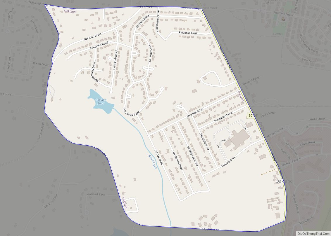
Map of North Hartsville CDP

Map of North Hartsville CDP

North Hartsville is a census-designated place (CDP) in Darlington County, South Carolina, United States. The population was 3,251 at the 2010 census. It is part of the Florence Metropolitan Statistical Area and the Hartsville Urban Cluster. North Hartsville CDP overview: Name: North Hartsville CDP LSAD Code: 57 LSAD Description: CDP (suffix) State: South Carolina County: … Read more

Map of Orangeburg city, South Carolina

Map of Orangeburg city, South Carolina

Orangeburg, also known as The Garden City, is the principal city in and the county seat of Orangeburg County, South Carolina, United States. The population of the city was 13,964 according to the 2010 United States Census and declined to 12,704 in the 2020 census. The city is located 37 miles southeast of Columbia, on … Read more

Map of Olar town

Map of Olar town

Olar is a town in Bamberg County, South Carolina, United States. The population was 257 at the 2010 census. Olar town overview: Name: Olar town LSAD Code: 43 LSAD Description: town (suffix) State: South Carolina County: Bamberg County Elevation: 203 ft (62 m) Total Area: 0.79 sq mi (2.03 km²) Land Area: 0.79 sq mi (2.03 km²) Water Area: 0.00 sq mi (0.00 km²) Total Population: … Read more

Map of Peak town

Map of Peak town

Peak is a town in Newberry County, South Carolina, United States. The population was 64 at the 2010 census. Peak town overview: Name: Peak town LSAD Code: 43 LSAD Description: town (suffix) State: South Carolina County: Newberry County Elevation: 292 ft (89 m) Total Area: 0.34 sq mi (0.89 km²) Land Area: 0.34 sq mi (0.89 km²) Water Area: 0.00 sq mi (0.00 km²) Total Population: … Read more

Map of Paxville town

Map of Paxville town

Paxville is a town in Clarendon County, South Carolina, United States. The population was 185 at the 2010 census, down from 248 in 2000. The town was named after Joseph Pack. Joseph Pack and his wife, Louisa Alexandria Pack, arrived in America from England in the year 1770. He became one of the most extensive … Read more

Map of Pawleys Island town

Map of Pawleys Island town

Pawleys Island is a town in Georgetown County, South Carolina, United States, and the Atlantic coast barrier island on which the town is located. Pawleys Island’s population was 103 at the 2010 census, down from 138 in 2000. The post office address also includes an unincorporated area on the mainland adjacent to the island, which … Read more

Map of Patrick town

Map of Patrick town

Patrick is a town in Chesterfield County, South Carolina, United States. The population was 351 at the 2010 census. Patrick town overview: Name: Patrick town LSAD Code: 43 LSAD Description: town (suffix) State: South Carolina County: Chesterfield County Elevation: 220 ft (67 m) Total Area: 0.96 sq mi (2.48 km²) Land Area: 0.96 sq mi (2.48 km²) Water Area: 0.00 sq mi (0.00 km²) Total Population: … Read more

Map of Parksville town

Map of Parksville town

Parksville is a town in McCormick County, South Carolina, United States. The population was 117 at the 2010 census. Parksville town overview: Name: Parksville town LSAD Code: 43 LSAD Description: town (suffix) State: South Carolina County: McCormick County Elevation: 348 ft (106 m) Total Area: 0.73 sq mi (1.89 km²) Land Area: 0.73 sq mi (1.89 km²) Water Area: 0.00 sq mi (0.00 km²) Total Population: … Read more

Map of Parker CDP, South Carolina

Map of Parker CDP, South Carolina

Parker is a census-designated place (CDP) in Greenville County, South Carolina, United States. The population was 11,431 at the 2010 census, up from 10,760 in 2000. It is part of the Greenville–Mauldin–Easley Metropolitan Statistical Area. Parker CDP overview: Name: Parker CDP LSAD Code: 57 LSAD Description: CDP (suffix) State: South Carolina County: Greenville County Elevation: … Read more

Map of Pamplico town

Map of Pamplico town

Pamplico is a town in southeastern Florence County, South Carolina, United States. The population was 1,226 at the 2010 census. It is part of the Florence Metropolitan Statistical Area. Pamplico town overview: Name: Pamplico town LSAD Code: 43 LSAD Description: town (suffix) State: South Carolina County: Florence County Elevation: 82 ft (25 m) Total Area: 1.63 sq mi (4.22 km²) … Read more

Map of Pageland town

Map of Pageland town

Pageland is a town in Chesterfield County, South Carolina, United States. It is the second largest town in Chesterfield County. The population was 2,760 at the 2010 census. It is known as “The Watermelon Capital of World” because of the importance of watermelons to the town and its economy. The annual Pageland Watermelon Festival is … Read more

Map of Pacolet town

Map of Pacolet town

Pacolet is a town in Spartanburg County, South Carolina, United States. The population was 2,235 at the 2010 census. Pacolet town overview: Name: Pacolet town LSAD Code: 43 LSAD Description: town (suffix) State: South Carolina County: Spartanburg County Elevation: 781 ft (238 m) Total Area: 5.85 sq mi (15.15 km²) Land Area: 5.78 sq mi (14.97 km²) Water Area: 0.07 sq mi (0.18 km²) Total Population: … Read more