Charleston is the largest city in the U.S. state of South Carolina, the county seat of Charleston County, and the principal city in the Charleston metropolitan area. The city lies just south of the geographical midpoint of South Carolina’s coastline on Charleston Harbor, an inlet of the Atlantic Ocean formed by the confluence of the ... Read more
South Carolina Cities and Places
Columbia is the capital city of the U.S. state of South Carolina. With a population of 136,632 at the 2020 census, it is the second-largest city in South Carolina. The city serves as the county seat of Richland County, and a portion of the city extends into neighboring Lexington County. It is the center of ... Read more
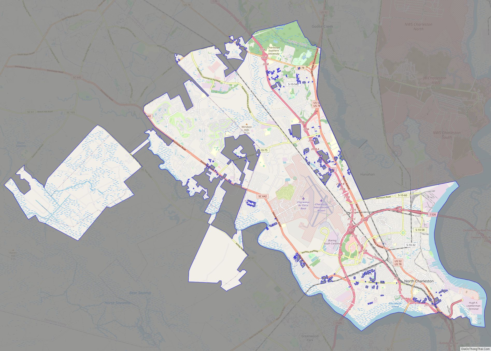
North Charleston is a city in Berkeley, Dorchester, and Charleston counties within the U.S. state of South Carolina. As of the 2020 census, North Charleston had a population of 114,852, making it the third-most populous city in the state. North Charleston is a principal city within the Charleston–North Charleston, SC Metropolitan Statistical Area, which had ... Read more
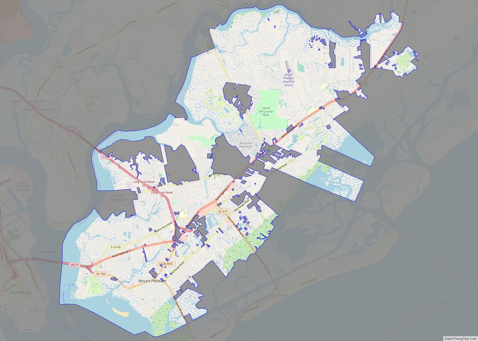
Mount Pleasant is a large suburban town in Charleston County, South Carolina, United States. In the Low Country, it is the fourth largest municipality and largest town in South Carolina, and for several years was one of the state’s fastest-growing areas, doubling in population between 1990 and 2000. The population was 90,801 at the 2020 ... Read more
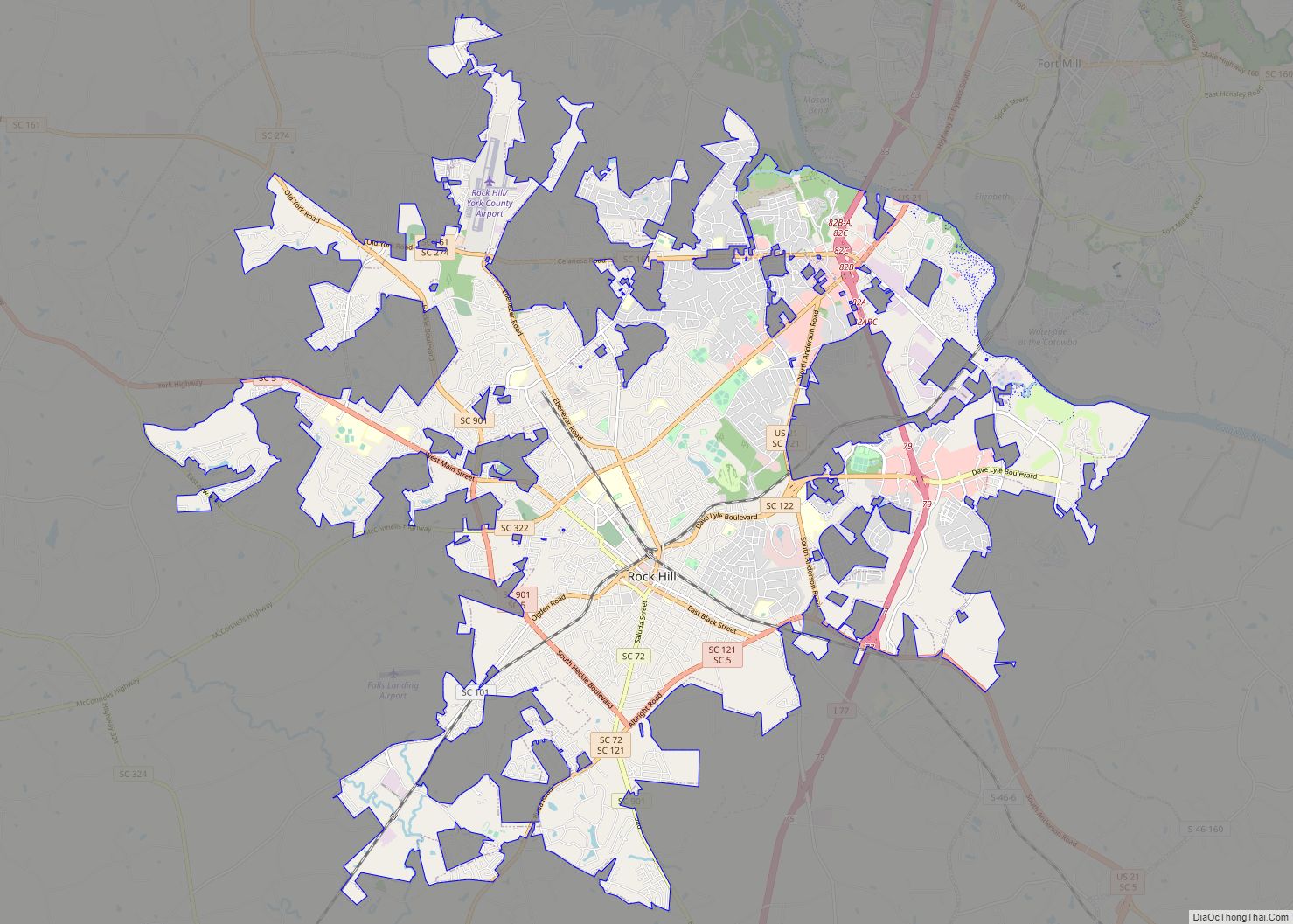
Rock Hill is the largest city in York County, South Carolina and the fifth-largest city in the state. It is also the fourth-largest city of the Charlotte metropolitan area, behind Charlotte, Concord, and Gastonia (all located in North Carolina, unlike Rock Hill). As of the 2020 census, the population was 74,372. The city is located ... Read more
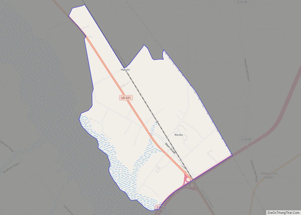
Alcolu is an unincorporated community and census-designated place (CDP) in Clarendon County, South Carolina, United States. As of the 2010 census, its population was 429. Alcolu has a post office with ZIP code 29001, which opened on August 17, 1888. It developed as a lumber and mill town. Alcolu CDP overview: Name: Alcolu CDP LSAD ... Read more
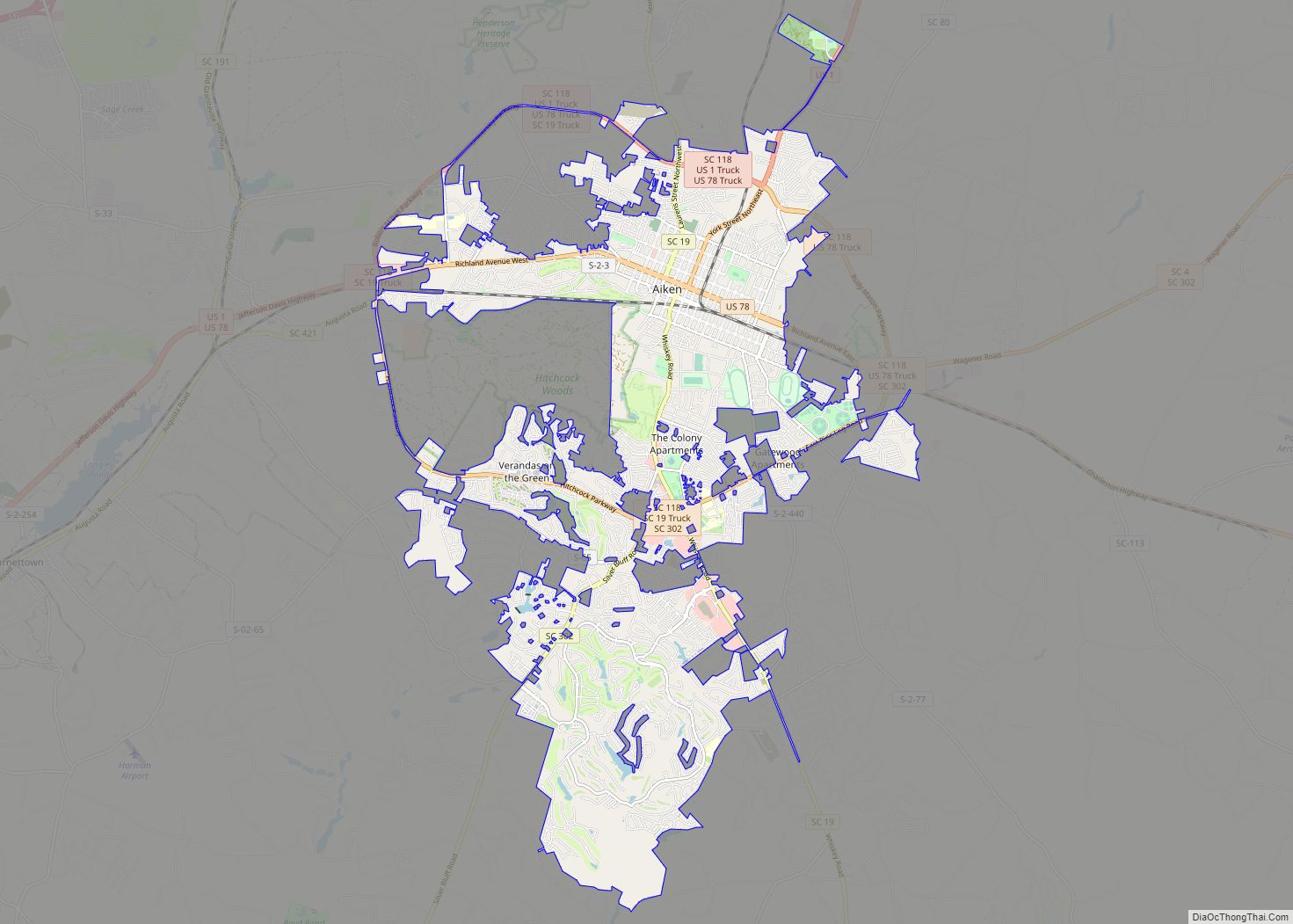
Aiken is the largest city in, and the county seat of, Aiken County, in western South Carolina. It is one of the two largest cities of the Central Savannah River Area. Founded in 1835, Aiken was named after William Aiken, the president of the South Carolina Railroad. It became part of Aiken County when the ... Read more
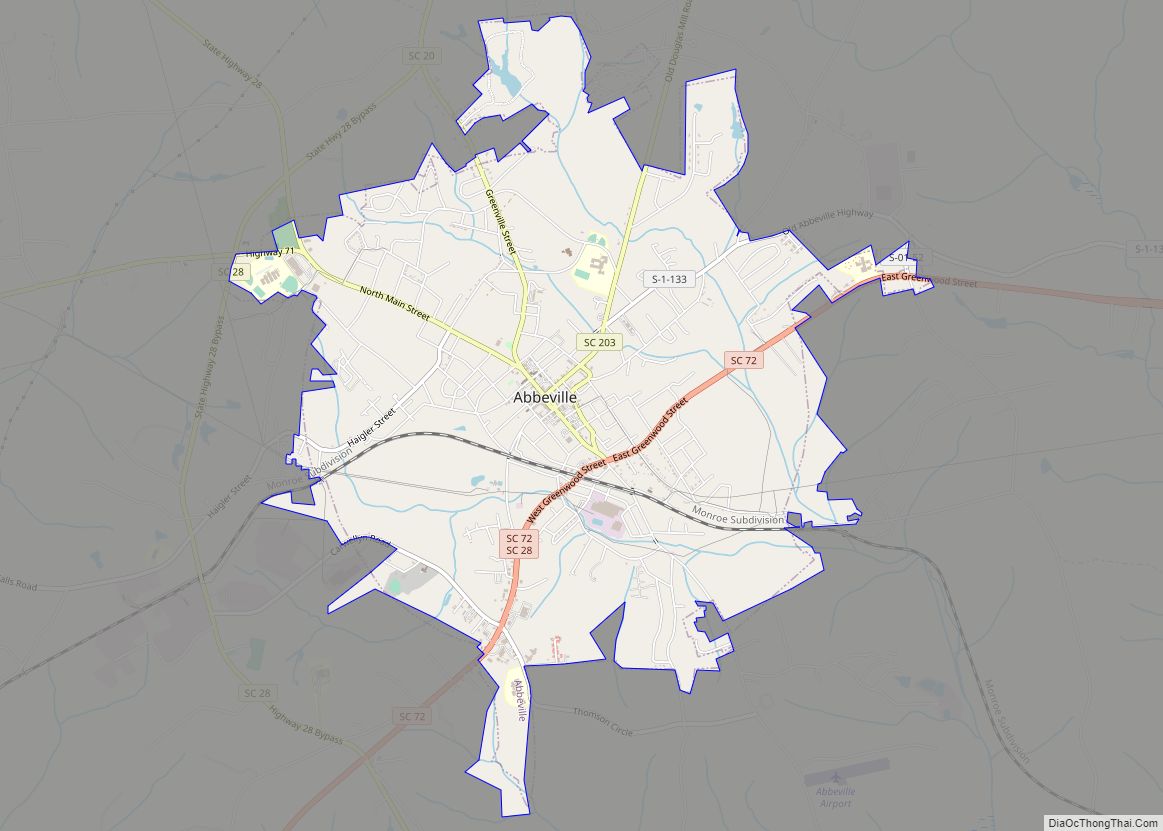
Abbeville is a city and county seat of Abbeville County, in the U.S. state of South Carolina. It is located 86 miles (138 km) west of Columbia and 45 miles (72 km) south of Greenville. Its population was 5,237 at the 2010 census. Settled by French Huguenot settlers, it was named, along with the county, for the ... Read more
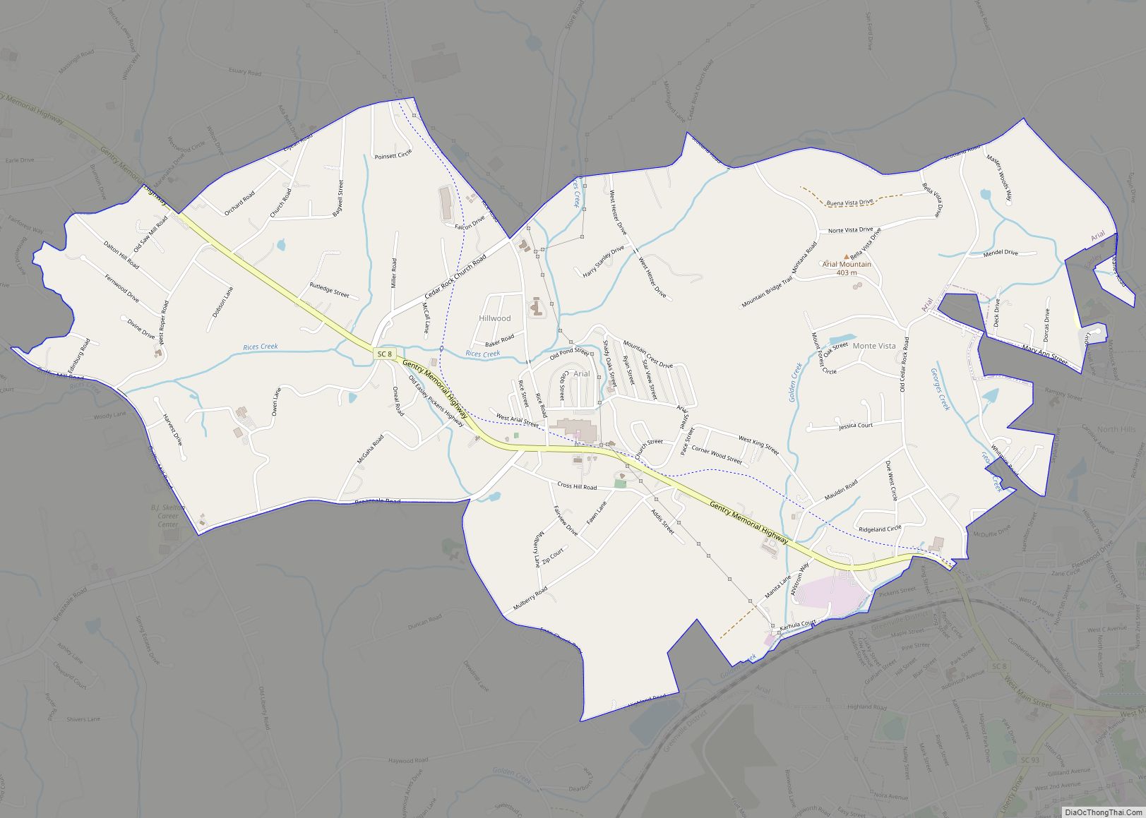
Arial is a census-designated place (CDP) in Pickens County, South Carolina, United States. The population was 2,607 at the 2000 census. It is part of the Greenville–Mauldin–Easley Metropolitan Statistical Area. Arial CDP overview: Name: Arial CDP LSAD Code: 57 LSAD Description: CDP (suffix) State: South Carolina County: Pickens County Elevation: 1,079 ft (329 m) Total Area: 4.59 sq mi ... Read more
Arcadia is a Census-designated place located in Spartanburg County in the U.S. State of South Carolina. According to the 2010 United States Census, the population was 2,634. Arcadia CDP overview: Name: Arcadia CDP LSAD Code: 57 LSAD Description: CDP (suffix) State: South Carolina County: Spartanburg County Elevation: 807 ft (246 m) Total Area: 1.96 sq mi (5.09 km²) Land Area: ... Read more
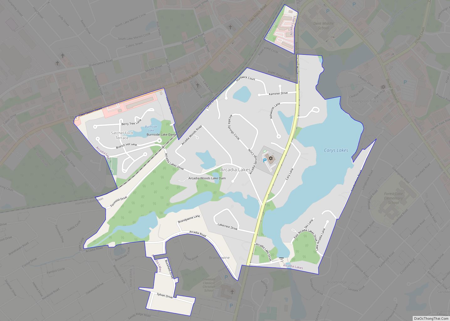
Arcadia Lakes is a town in Richland County, South Carolina, United States. The population was 861 at the 2010 census. It is part of the Columbia, South Carolina, Metropolitan Statistical Area. Arcadia Lakes town overview: Name: Arcadia Lakes town LSAD Code: 43 LSAD Description: town (suffix) State: South Carolina County: Richland County Elevation: 220 ft (70 m) ... Read more
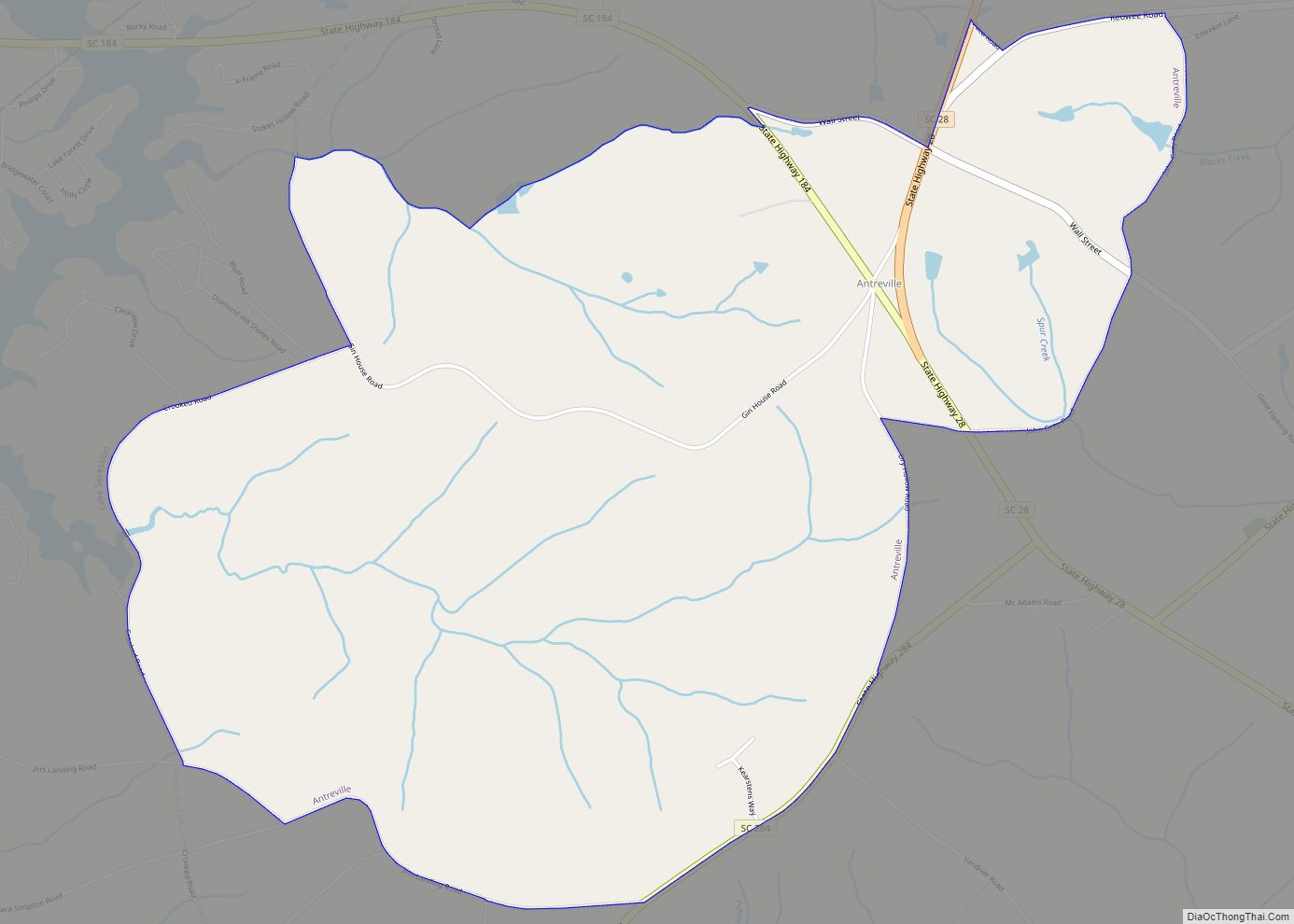
Antreville is a census-designated place (CDP) in Abbeville County, South Carolina, United States. The population was 140 at the 2010 census. Antreville CDP overview: Name: Antreville CDP LSAD Code: 57 LSAD Description: CDP (suffix) State: South Carolina County: Abbeville County Elevation: 722 ft (220 m) Total Area: 3.90 sq mi (10.09 km²) Land Area: 3.88 sq mi (10.05 km²) Water Area: 0.02 sq mi (0.04 km²) ... Read more


