Map of Wallace town, South Dakota
Wallace is a town in Codington County, South Dakota, United States. The population was 91 at the 2020 census. It is part of the Watertown, South Dakota Micropolitan Statistical Area. Wallace town overview: Name: Wallace town LSAD Code: 43 LSAD Description: town (suffix) State: South Dakota County: Codington County Incorporated: 1908 Elevation: 1,778 ft (542 m) Total ... Read more
Map of Wallace town, South Dakota
Map of Wall town, South Dakota
Wall (Lakota: Makȟóšiča Aglágla Otȟuŋwahe, “Town alongside the Badlands”) is a town in Pennington County, South Dakota, United States. The population was 699 at the 2020 census. Wall town overview: Name: Wall town LSAD Code: 43 LSAD Description: town (suffix) State: South Dakota County: Pennington County Incorporated: 1908 Elevation: 2,825 ft (861 m) Total Area: 2.71 sq mi (7.02 km²) ... Read more
Map of Wall town, South Dakota
Map of Wakonda town
Wakonda is a town in Clay County, South Dakota, United States. The population was 347 at the 2020 census. Wakonda town overview: Name: Wakonda town LSAD Code: 43 LSAD Description: town (suffix) State: South Dakota County: Clay County Elevation: 1,391 ft (424 m) Total Area: 0.39 sq mi (1.00 km²) Land Area: 0.39 sq mi (1.00 km²) Water Area: 0.00 sq mi (0.00 km²) Total Population: ... Read more
Map of Wakonda town
Map of Wagner city, South Dakota
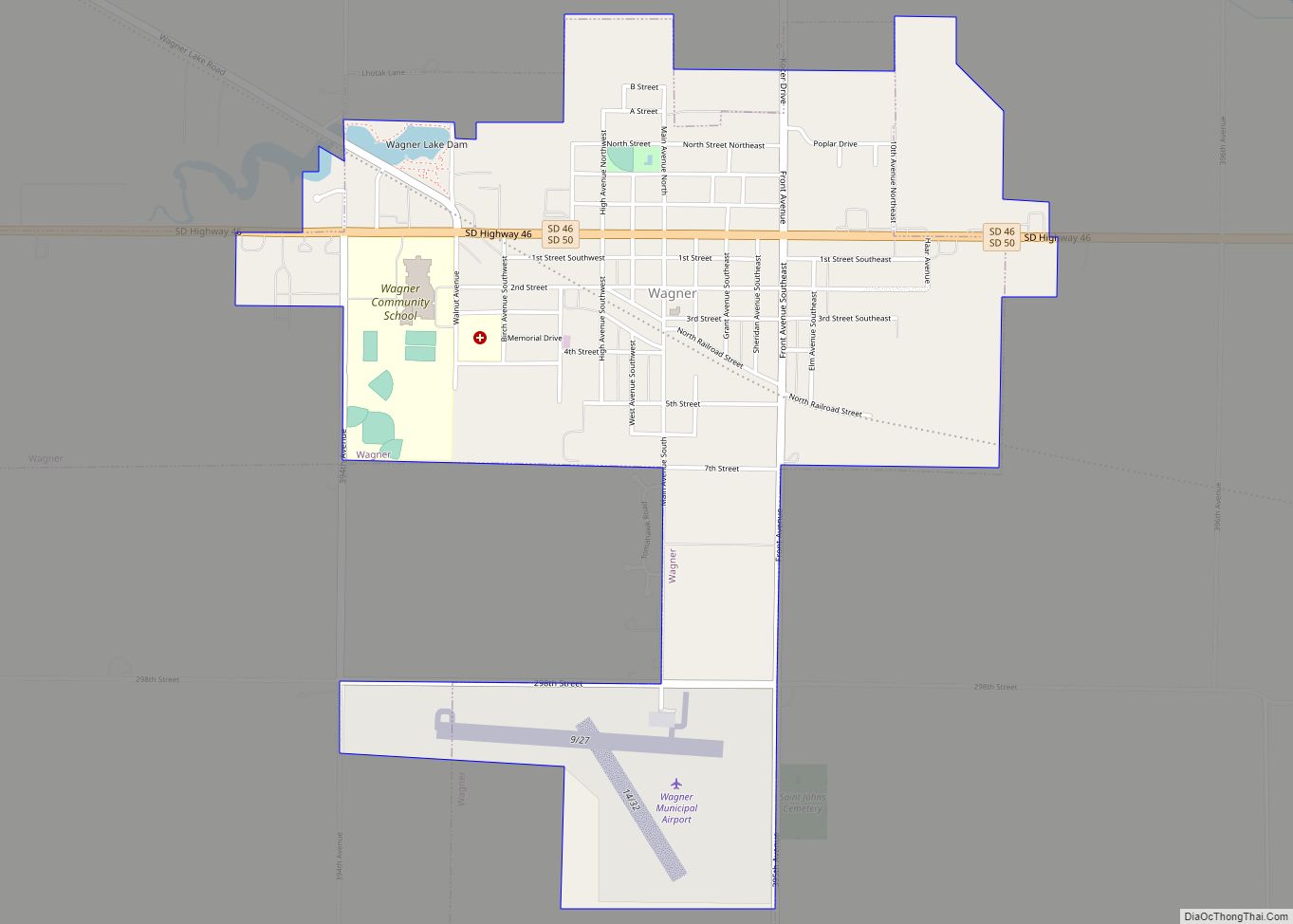
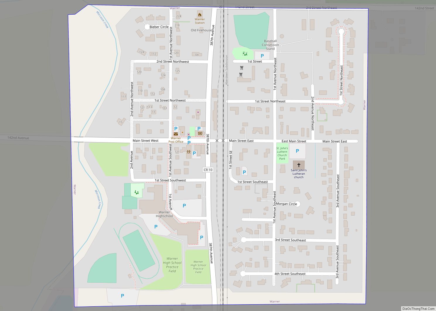
Wagner is a city in Charles Mix County, South Dakota, United States. The population was 1,490 at the 2020 census. The city is served by Wagner Municipal Airport as well as YST Transit buses. Wagner city overview: Name: Wagner city LSAD Code: 25 LSAD Description: city (suffix) State: South Dakota County: Charles Mix County Incorporated: ... Read more
Map of Wagner city, South Dakota
Map of Volin town
Volin (pronounced VAH’-lin) is a town in Yankton County, South Dakota, United States. The population was 158 at the 2020 census. Volin town overview: Name: Volin town LSAD Code: 43 LSAD Description: town (suffix) State: South Dakota County: Yankton County Incorporated: 1901 Elevation: 1,194 ft (364 m) Total Area: 0.20 sq mi (0.51 km²) Land Area: 0.20 sq mi (0.51 km²) Water Area: ... Read more
Map of Volin town
Map of Westport town, South Dakota
Westport is a town in western Brown County, South Dakota, United States. The population was 88 at the 2020 census. The town has the name of a railroad employee. Westport town overview: Name: Westport town LSAD Code: 43 LSAD Description: town (suffix) State: South Dakota County: Brown County Elevation: 1,332 ft (406 m) Total Area: 0.23 sq mi (0.61 km²) ... Read more
Map of Westport town, South Dakota
Map of Wessington city
Wessington is a city on the border between Beadle and Hand counties in South Dakota, United States. The population was 197 at the 2020 census. The community hosts its annual Fun Days celebration each July. Wessington city overview: Name: Wessington city LSAD Code: 25 LSAD Description: city (suffix) State: South Dakota County: Beadle County, Hand ... Read more
Map of Wessington city
Map of Wessington Springs city
Wessington Springs is a city in central Jerauld County, South Dakota, United States. The population was 956 at the 2010 census. It is the county seat of Jerauld County. Wessington Springs city overview: Name: Wessington Springs city LSAD Code: 25 LSAD Description: city (suffix) State: South Dakota County: Jerauld County Incorporated: 1893 Elevation: 1,670 ft (509 m) ... Read more
Map of Wessington Springs city
Map of Wentworth village, South Dakota
Wentworth is an incorporated village in Lake County, South Dakota, United States. It is the only incorporated village in the state of South Dakota. The population was 181 at the 2020 census. Wentworth village overview: Name: Wentworth village LSAD Code: 47 LSAD Description: village (suffix) State: South Dakota County: Lake County Incorporated: 1896 Elevation: 1,699 ft ... Read more
Map of Wentworth village, South Dakota
Map of Webster city, South Dakota
Webster is a city in and the county seat of Day County, South Dakota, United States. The population was 1,728 at the 2020 census. Webster city overview: Name: Webster city LSAD Code: 25 LSAD Description: city (suffix) State: South Dakota County: Day County Incorporated: 1895 Elevation: 1,857 ft (566 m) Total Area: 1.62 sq mi (4.20 km²) Land Area: 1.62 sq mi ... Read more
Map of Webster city, South Dakota
Map of Waverly CDP, South Dakota
Waverly is an unincorporated community and census-designated place (CDP) in Codington County, South Dakota, United States. The population was 22 at the 2020 census. The community derives its name from the Waverley Novels. Waverly CDP overview: Name: Waverly CDP LSAD Code: 57 LSAD Description: CDP (suffix) State: South Dakota County: Codington County Elevation: 1,985 ft (605 m) ... Read more
Map of Waverly CDP, South Dakota
Map of Waubay city
Waubay is a city in Day County, South Dakota, United States. The population was 473 at the 2020 census. Waubay had its start in the early 1880s when the railroad was extended to that point. The school district is Waubay Public 18-3. The local newspaper is the oldest business in town, called the Waubay Clipper. ... Read more
Map of Waubay city