Map of Sioux Falls city

Map of Sioux Falls city

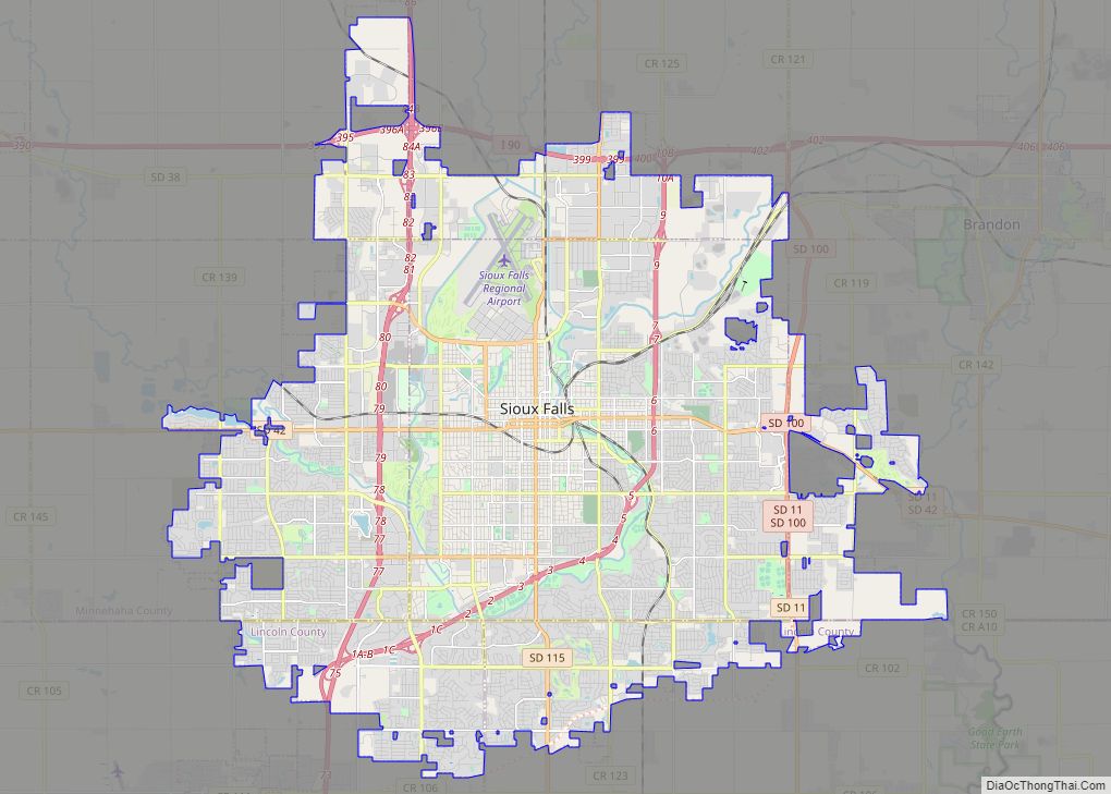
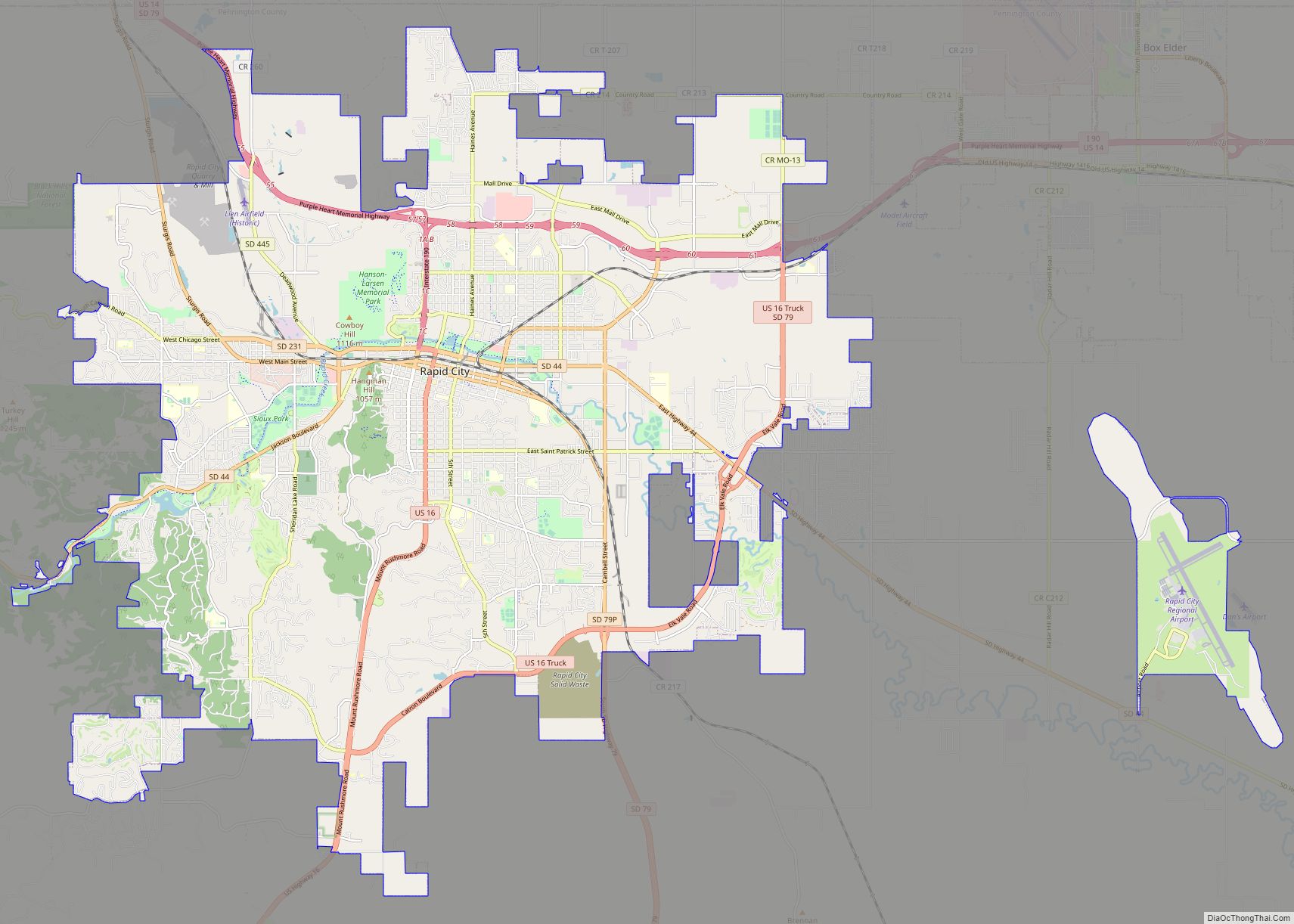
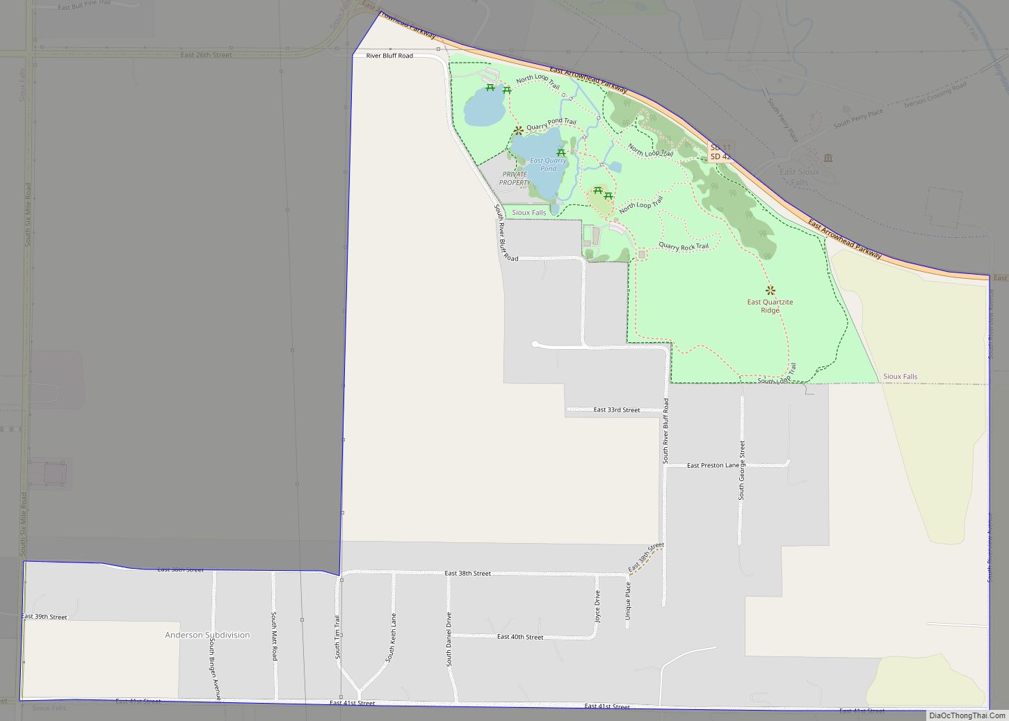
Sioux Falls (/ˌsuː ˈfɔːlz/) is the most populous city in the U.S. state of South Dakota and the 130th-most populous city in the United States. It is the county seat of Minnehaha County and also extends into Lincoln County to the south, which continues up to the Iowa state line. As of 2020, Sioux Falls … Read more

Map of Alcester city

Map of Alcester city

Alcester is a city in northern Union County, South Dakota, United States. It is part of the Sioux City, IA–NE–SD Metropolitan Statistical Area. The population was 820 at the 2020 census. Alcester city overview: Name: Alcester city LSAD Code: 25 LSAD Description: city (suffix) State: South Dakota County: Union County Incorporated: 1893 Elevation: 1,375 ft (419 m) … Read more

Map of Albee town

Map of Albee town

Albee is a town in Grant County, South Dakota, United States. The population was 7 at the 2020 census. Albee town overview: Name: Albee town LSAD Code: 43 LSAD Description: town (suffix) State: South Dakota County: Grant County Incorporated: 1902 Elevation: 1,181 ft (360 m) Total Area: 0.13 sq mi (0.34 km²) Land Area: 0.13 sq mi (0.34 km²) Water Area: 0.00 sq mi (0.00 km²) … Read more

Map of Akaska town

Map of Akaska town

Akaska (/əˈkæskə/; ə-KAS-kə) is a town in Walworth County, South Dakota, United States. The population was 77 at the 2020 census. The community name derives from a Sioux word meaning “uncertain”. Akaska town overview: Name: Akaska town LSAD Code: 43 LSAD Description: town (suffix) State: South Dakota County: Walworth County Incorporated: 1907 Elevation: 1,778 ft (542 m) … Read more

Map of Agency Village CDP

Map of Agency Village CDP

Agency Village is an unincorporated area and census-designated place (CDP) in Roberts County, South Dakota, United States. It is the headquarters of the Sisseton Wahpeton Oyate and home to Sisseton Wahpeton College. Since 2020, the CDP includes the community known as Goodwill. The population of the CDP was 776 at the 2020 census. The village … Read more

Map of Agar town

Map of Agar town

Agar (/ˈeɪɡɑːr/; AY-gar) is a small town in Sully County, South Dakota, United States. The population was 76 as of the 2010 census. Agar is a farm/ranch service center. Agar town overview: Name: Agar town LSAD Code: 43 LSAD Description: town (suffix) State: South Dakota County: Sully County Incorporated: 1926 Elevation: 1,850 ft (564 m) Total Area: … Read more

Map of Anderson CDP, South Dakota

Map of Anderson CDP, South Dakota

Anderson, also known as Anderson Subdivision, is an unincorporated community and census-designated place in Minnehaha County, South Dakota, United States. Its population was 388 as of the 2020 census. The community is east of Sioux Falls. Anderson CDP overview: Name: Anderson CDP LSAD Code: 57 LSAD Description: CDP (suffix) State: South Dakota County: Minnehaha County … Read more

Map of Altamont town, South Dakota

Map of Altamont town, South Dakota

Altamont is a town in Deuel County, South Dakota, United States. The population was 32 at the 2020 census. Altamont town overview: Name: Altamont town LSAD Code: 43 LSAD Description: town (suffix) State: South Dakota County: Deuel County Incorporated: 1903 Elevation: 1,850 ft (564 m) Total Area: 1.25 sq mi (3.25 km²) Land Area: 1.25 sq mi (3.25 km²) Water Area: 0.00 sq mi (0.00 km²) … Read more