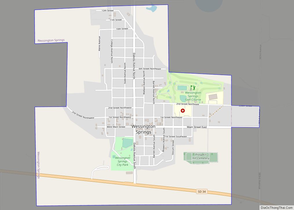
Map of Warner town, South Dakota

Map of Warner town, South Dakota

Warner is a town in Brown County, South Dakota, United States. The population was 485 at the 2020 census. Warner town overview: Name: Warner town LSAD Code: 43 LSAD Description: town (suffix) State: South Dakota County: Brown County Elevation: 1,299 ft (396 m) Total Area: 0.28 sq mi (0.72 km²) Land Area: 0.28 sq mi (0.72 km²) Water Area: 0.00 sq mi (0.00 km²) Total Population: … Read more

Map of Wetonka town

Map of Wetonka town

Wetonka (Dakota: wi-tȟáŋka; “Big Sun”) is a town in McPherson County, South Dakota, United States. The population was 16 at the 2020 census. Wetonka was laid out in 1906. Wetonka town overview: Name: Wetonka town LSAD Code: 43 LSAD Description: town (suffix) State: South Dakota County: McPherson County Incorporated: 1910 Elevation: 1,470 ft (448 m) Total Area: … Read more

Map of Westport town, South Dakota

Map of Westport town, South Dakota

Westport is a town in western Brown County, South Dakota, United States. The population was 88 at the 2020 census. The town has the name of a railroad employee. Westport town overview: Name: Westport town LSAD Code: 43 LSAD Description: town (suffix) State: South Dakota County: Brown County Elevation: 1,332 ft (406 m) Total Area: 0.23 sq mi (0.61 km²) … Read more

Map of Winfred CDP

Map of Winfred CDP

Winfred is an unincorporated community and census-designated place (CDP) in Lake County, South Dakota, United States, approximately 12 miles (19 km) west of Madison. The population was 38 as of the 2020 census. Winfred has been assigned the ZIP code of 57076. Winfred CDP overview: Name: Winfred CDP LSAD Code: 57 LSAD Description: CDP (suffix) State: … Read more

Map of Wilmot city, South Dakota

Map of Wilmot city, South Dakota

Wilmot is a city in Roberts County, South Dakota, United States. The population was 432 at the 2020 census. Wilmot city overview: Name: Wilmot city LSAD Code: 25 LSAD Description: city (suffix) State: South Dakota County: Roberts County Incorporated: 1891 Elevation: 1,198 ft (365 m) Total Area: 0.53 sq mi (1.38 km²) Land Area: 0.53 sq mi (1.38 km²) Water Area: 0.00 sq mi (0.00 km²) … Read more

Map of Willow Lake city

Map of Willow Lake city

Willow Lake is a city in Clark County, South Dakota, United States. The population was 255 at the 2020 census. The city took its name from Willow Lake, a natural lake near the town site. Willow Lake city overview: Name: Willow Lake city LSAD Code: 25 LSAD Description: city (suffix) State: South Dakota County: Clark … Read more

Map of Whitewood city

Map of Whitewood city

Whitewood is a city in Lawrence County, South Dakota, United States. The population was 879 at the 2020 census. Whitewood city overview: Name: Whitewood city LSAD Code: 25 LSAD Description: city (suffix) State: South Dakota County: Lawrence County Incorporated: 1888 Elevation: 3,655 ft (1,114 m) Total Area: 0.64 sq mi (1.65 km²) Land Area: 0.64 sq mi (1.65 km²) Water Area: 0.00 sq mi (0.00 km²) … Read more

Map of Whitehorse CDP

Map of Whitehorse CDP

Whitehorse is a census-designated place (CDP) in Dewey County, South Dakota, United States. The population was 106 at the 2020 census. The community has the name of a Native American chieftain. Whitehorse CDP overview: Name: Whitehorse CDP LSAD Code: 57 LSAD Description: CDP (suffix) State: South Dakota County: Dewey County Total Area: 2.7 sq mi (6.9 km²) Land … Read more

Map of White city, South Dakota

Map of White city, South Dakota

White is a city in Brookings County, South Dakota, United States. The population was 537 at the 2020 census. White city overview: Name: White city LSAD Code: 25 LSAD Description: city (suffix) State: South Dakota County: Brookings County Incorporated: 1887 Elevation: 1,785 ft (544 m) Total Area: 0.87 sq mi (2.26 km²) Land Area: 0.87 sq mi (2.26 km²) Water Area: 0.00 sq mi (0.00 km²) … Read more

Map of White Rock town, South Dakota

Map of White Rock town, South Dakota

White Rock is a town in Roberts County, South Dakota, United States, along the Bois de Sioux River. The population was 6 at the 2020 census. White Rock is the most northeastern community in South Dakota, being along the Minnesota border and one mile south of North Dakota. White Rock town overview: Name: White Rock … Read more

Map of White River city

Map of White River city

White River (Lakota: Makhízita wakpá; “White Dirt River”) is a city in and the county seat of Mellette County. South Dakota, United States. The population was 533 at the 2020 census. White River city overview: Name: White River city LSAD Code: 25 LSAD Description: city (suffix) State: South Dakota County: Mellette County Incorporated: 1912 Elevation: … Read more

Map of White Lake city, South Dakota

Map of White Lake city, South Dakota

White Lake is a city in western Aurora County, South Dakota, United States. The population was 394 at the 2020 census. White Lake city overview: Name: White Lake city LSAD Code: 25 LSAD Description: city (suffix) State: South Dakota County: Aurora County Incorporated: 1882 Elevation: 1,647 ft (502 m) Total Area: 0.41 sq mi (1.05 km²) Land Area: 0.41 sq mi (1.05 km²) … Read more