Map of Petrolia city, Texas

Map of Petrolia city, Texas

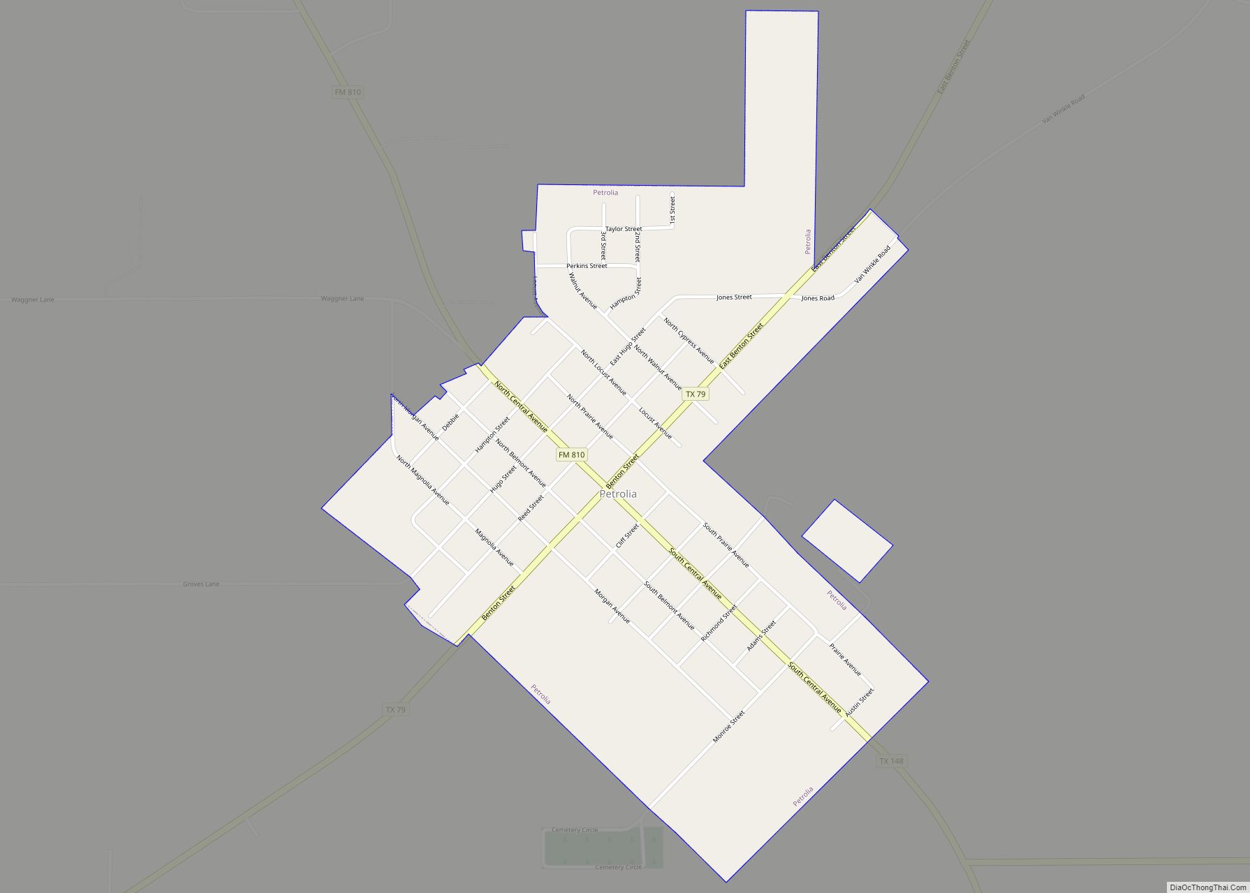
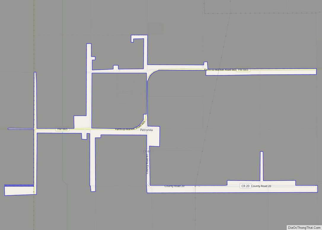
Petrolia is a city in Clay County, Texas, United States. It is part of the Wichita Falls, Texas Metropolitan Statistical Area. The population was 686 at the 2010 census, down from 782 at the 2000 census. Petrolia city overview: Name: Petrolia city LSAD Code: 25 LSAD Description: city (suffix) State: Texas County: Clay County Elevation: … Read more

Map of Petersburg city, Texas

Map of Petersburg city, Texas

Petersburg is a city in Hale County, Texas, United States. As of the 2010 census, it had a population of 1,202. Petersburg city overview: Name: Petersburg city LSAD Code: 25 LSAD Description: city (suffix) State: Texas County: Hale County Elevation: 3,255 ft (992 m) Total Area: 0.81 sq mi (2.10 km²) Land Area: 0.81 sq mi (2.10 km²) Water Area: 0.00 sq mi (0.00 km²) Total … Read more

Map of Perryton city

Map of Perryton city

Perryton is a city in and the county seat of Ochiltree County, Texas, United States. Its population was 8,802 at the 2010 census. Perryton city overview: Name: Perryton city LSAD Code: 25 LSAD Description: city (suffix) State: Texas County: Ochiltree County Elevation: 2,927 ft (892 m) Total Area: 4.80 sq mi (12.43 km²) Land Area: 4.80 sq mi (12.43 km²) Water Area: 0.00 sq mi … Read more

Map of Perrin CDP

Map of Perrin CDP

Perrin is a census-designated place (CDP) and unincorporated community in southeastern Jack County, Texas, United States. As of the 2010 census it had a population of 398. It is located at the intersection of US Highway 281 and FM 2210. It was established in 1870 and named for Levi W. Perrin, the father of the … Read more

Map of Perezville CDP

Map of Perezville CDP

Perezville is an unincorporated community and census-designated place in Hidalgo County, Texas, United States. Its population was 5,376 as of the 2010 census. Prior to 2010, the community was part of the Abram-Perezville census-designated place along with nearby Abram. Perezville CDP overview: Name: Perezville CDP LSAD Code: 57 LSAD Description: CDP (suffix) State: Texas County: … Read more

Map of Penitas city

Map of Penitas city

Penitas city overview: Name: Penitas city LSAD Code: 25 LSAD Description: city (suffix) State: Texas County: Hidalgo County FIPS code: 4856696 Online Interactive Map Penitas online map. Source: Basemap layers from Google Map, Open Street Map (OSM), Arcgisonline, Wmflabs. Boundary Data from Database of Global Administrative Areas. Penitas location map. Where is Penitas city? Penitas … Read more

Map of Penelope town

Map of Penelope town

Penelope is a town in Hill County, Texas, United States. The population was 198 at the 2010 census. Penelope town overview: Name: Penelope town LSAD Code: 43 LSAD Description: town (suffix) State: Texas County: Hill County Elevation: 568 ft (173 m) Total Area: 1.02 sq mi (2.64 km²) Land Area: 0.99 sq mi (2.57 km²) Water Area: 0.03 sq mi (0.07 km²) Total Population: 198 Population … Read more

Map of Pena CDP

Map of Pena CDP

Pena is a census-designated place (CDP) in Starr County, Texas, United States. It is a new CDP formed from part of the North Escobares CDP prior to the 2010 census with a population of 118. Pena CDP overview: Name: Pena CDP LSAD Code: 57 LSAD Description: CDP (suffix) State: Texas County: Starr County Total Area: … Read more

Map of Pelican Bay city, Texas

Map of Pelican Bay city, Texas

Pelican Bay is a city in Tarrant County, Texas, United States. The population was 1,547 at the 2010 census. Pelican Bay city overview: Name: Pelican Bay city LSAD Code: 25 LSAD Description: city (suffix) State: Texas County: Tarrant County Elevation: 699 ft (213 m) Total Area: 0.67 sq mi (1.74 km²) Land Area: 0.67 sq mi (1.74 km²) Water Area: 0.00 sq mi (0.00 km²) Total … Read more

Map of Pecos city, Texas

Map of Pecos city, Texas

Pecos (/ˈpeɪkəs/ PAY-kəs) is the largest city in and the county seat of Reeves County, Texas, United States. It is in the valley on the west bank of the Pecos River at the eastern edge of the Chihuahuan Desert, in the Trans-Pecos region of West Texas and just south of New Mexico‘s border. Its population … Read more

Map of Pilot Point city, Texas

Map of Pilot Point city, Texas

Pilot Point is a city in Denton County, Texas, United States. Its population was 3,856 at the 2010 census, increasing to 4,381 at the 2020 census. Pilot Point city overview: Name: Pilot Point city LSAD Code: 25 LSAD Description: city (suffix) State: Texas County: Denton County Elevation: 696 ft (212 m) Total Area: 4.35 sq mi (11.27 km²) Land Area: … Read more

Map of Pharr city

Map of Pharr city

Pharr is a city in Hidalgo County, Texas, United States. As of the 2010 census, the city population was 70,400, and in 2019, the estimated population was 79,112. Pharr is connected by bridge to the Mexican city of Reynosa, Tamaulipas. Pharr is part of the McAllen–Edinburg–Mission and Reynosa–McAllen metropolitan areas. Pharr city overview: Name: Pharr … Read more