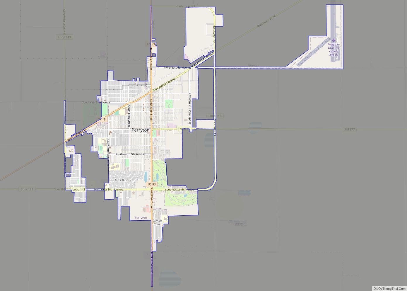
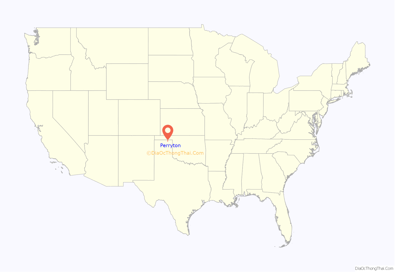
Perryton is a city in and the county seat of Ochiltree County, Texas, United States. Its population was 8,802 at the 2010 census.
| Name: | Perryton city |
|---|---|
| LSAD Code: | 25 |
| LSAD Description: | city (suffix) |
| State: | Texas |
| County: | Ochiltree County |
| Elevation: | 2,927 ft (892 m) |
| Total Area: | 4.80 sq mi (12.43 km²) |
| Land Area: | 4.80 sq mi (12.43 km²) |
| Water Area: | 0.00 sq mi (0.00 km²) |
| Total Population: | 8,802 |
| Population Density: | 1,774.07/sq mi (685.04/km²) |
| ZIP code: | 79070 |
| Area code: | 806 |
| FIPS code: | 4856912 |
| GNISfeature ID: | 2411406 |
| Website: | www.cityofperryton.com |
Online Interactive Map
Click on ![]() to view map in "full screen" mode.
to view map in "full screen" mode.
Perryton location map. Where is Perryton city?
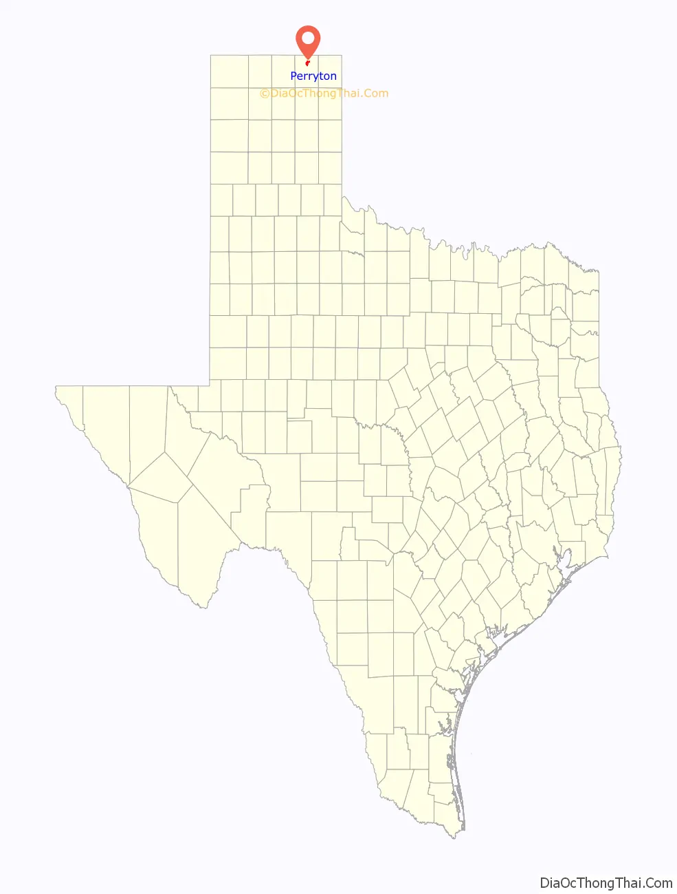
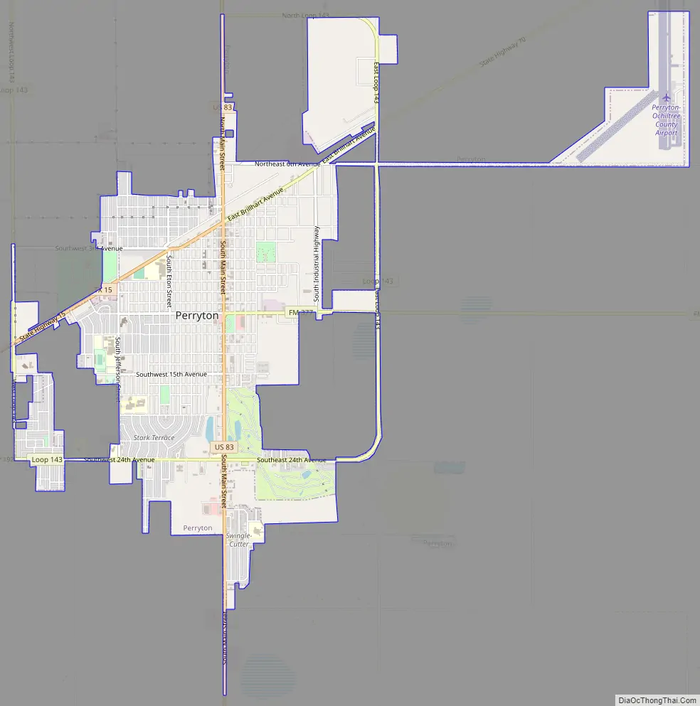
Perryton Road Map
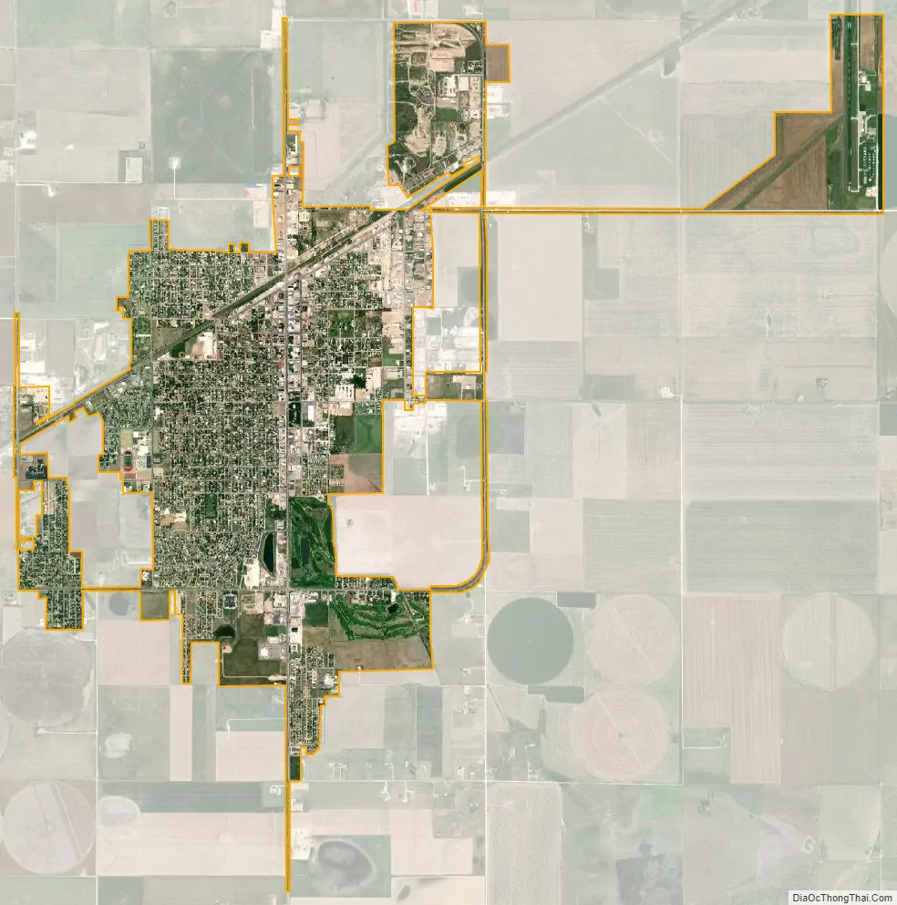
Perryton city Satellite Map
Geography
Perryton is located at 36°23′30″N 100°48′22″W / 36.39167°N 100.80611°W / 36.39167; -100.80611 (36.391752, –100.806109). According to the United States Census Bureau, the city has a total area of 4.5 sq mi (12 km), of which 0.04 square miles (0.10 km) (0.45%) is covered by water.
Climate
Perryton has a borderline cool semiarid climate (Köppen BSk) just short of either a humid subtropical climate (Cfa) or a humid continental climate (Dfa). Winter mornings are very cold: 137.9 mornings on average fall to or below freezing and 4.4 mornings each year can be expected to fall so low as 0 °F or −17.8 °C. This indicates heavy continental influence courtesy of its far inland position. Winter weather can be extremely variable, ranging from extremely cold due to Arctic outbreaks from the Yukon to a three-month winter average of six afternoons above 70 °F or 21.1 °C due to hot chinook winds blowing off the Rocky Mountains. In some cases, these chinooks can produce extremely rapid increases in temperature; during February 10, 2017, the temperature rose from 25 °F (−3.9 °C) in the morning to 92 °F (33.3 °C) in the afternoon and down to 46 °F (7.8 °C) the following morning.
Summers are hot, and mornings remain relatively mild. Nine mornings each year can be expected to stay above 68 °F or 20 °C, but virtually none stay above 77 °F or 25 °C, although the temperature did not fall below 79 °F or 26.1 °C on July 10, 2016. However, 70.5 afternoons reach 90 °F or 32.2 °C, with 12.3 afternoons topping 100 °F or 37.8 °C, and a record high of 113 °F (45 °C) on June 26, 2011. The coldest morning was −17 °F (−27.2 °C) on January 7, 1988, and the coldest maximum 3 °F (−16.1 °C) on December 22 and 23 (twice on consecutive days) of 1990.
See also
Map of Texas State and its subdivision:- Anderson
- Andrews
- Angelina
- Aransas
- Archer
- Armstrong
- Atascosa
- Austin
- Bailey
- Bandera
- Bastrop
- Baylor
- Bee
- Bell
- Bexar
- Blanco
- Borden
- Bosque
- Bowie
- Brazoria
- Brazos
- Brewster
- Briscoe
- Brooks
- Brown
- Burleson
- Burnet
- Caldwell
- Calhoun
- Callahan
- Cameron
- Camp
- Carson
- Cass
- Castro
- Chambers
- Cherokee
- Childress
- Clay
- Cochran
- Coke
- Coleman
- Collin
- Collingsworth
- Colorado
- Comal
- Comanche
- Concho
- Cooke
- Coryell
- Cottle
- Crane
- Crockett
- Crosby
- Culberson
- Dallam
- Dallas
- Dawson
- Deaf Smith
- Delta
- Denton
- Dewitt
- Dickens
- Dimmit
- Donley
- Duval
- Eastland
- Ector
- Edwards
- El Paso
- Ellis
- Erath
- Falls
- Fannin
- Fayette
- Fisher
- Floyd
- Foard
- Fort Bend
- Franklin
- Freestone
- Frio
- Gaines
- Galveston
- Garza
- Gillespie
- Glasscock
- Goliad
- Gonzales
- Gray
- Grayson
- Gregg
- Grimes
- Guadalupe
- Hale
- Hall
- Hamilton
- Hansford
- Hardeman
- Hardin
- Harris
- Harrison
- Hartley
- Haskell
- Hays
- Hemphill
- Henderson
- Hidalgo
- Hill
- Hockley
- Hood
- Hopkins
- Houston
- Howard
- Hudspeth
- Hunt
- Hutchinson
- Irion
- Jack
- Jackson
- Jasper
- Jeff Davis
- Jefferson
- Jim Hogg
- Jim Wells
- Johnson
- Jones
- Karnes
- Kaufman
- Kendall
- Kenedy
- Kent
- Kerr
- Kimble
- King
- Kinney
- Kleberg
- Knox
- La Salle
- Lamar
- Lamb
- Lampasas
- Lavaca
- Lee
- Leon
- Liberty
- Limestone
- Lipscomb
- Live Oak
- Llano
- Loving
- Lubbock
- Lynn
- Madison
- Marion
- Martin
- Mason
- Matagorda
- Maverick
- McCulloch
- McLennan
- McMullen
- Medina
- Menard
- Midland
- Milam
- Mills
- Mitchell
- Montague
- Montgomery
- Moore
- Morris
- Motley
- Nacogdoches
- Navarro
- Newton
- Nolan
- Nueces
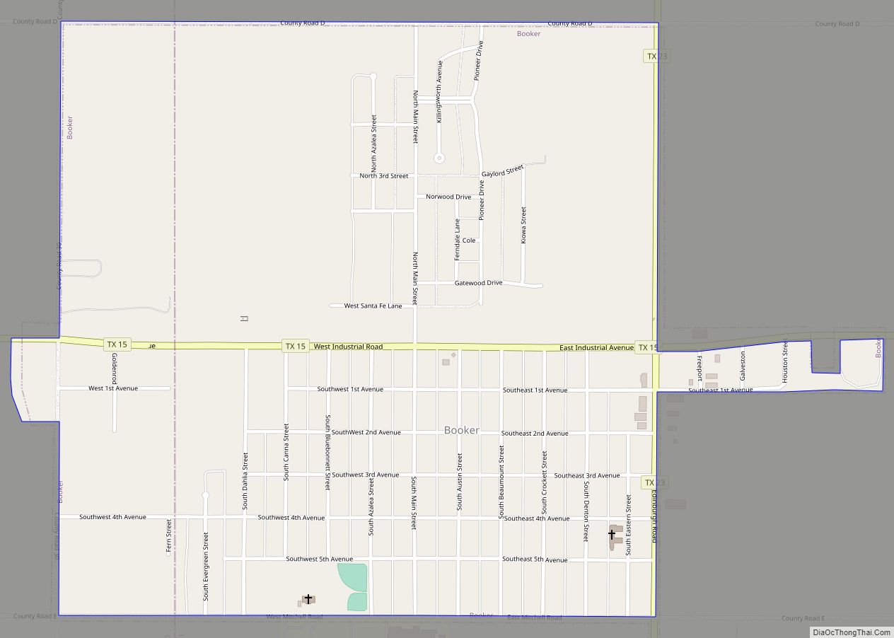
- Ochiltree
- Oldham
- Orange
- Palo Pinto
- Panola
- Parker
- Parmer
- Pecos
- Polk
- Potter
- Presidio
- Rains
- Randall
- Reagan
- Real
- Red River
- Reeves
- Refugio
- Roberts
- Robertson
- Rockwall
- Runnels
- Rusk
- Sabine
- San Augustine
- San Jacinto
- San Patricio
- San Saba
- Schleicher
- Scurry
- Shackelford
- Shelby
- Sherman
- Smith
- Somervell
- Starr
- Stephens
- Sterling
- Stonewall
- Sutton
- Swisher
- Tarrant
- Taylor
- Terrell
- Terry
- Throckmorton
- Titus
- Tom Green
- Travis
- Trinity
- Tyler
- Upshur
- Upton
- Uvalde
- Val Verde
- Van Zandt
- Victoria
- Walker
- Waller
- Ward
- Washington
- Webb
- Wharton
- Wheeler
- Wichita
- Wilbarger
- Willacy
- Williamson
- Wilson
- Winkler
- Wise
- Wood
- Yoakum
- Young
- Zapata
- Zavala
- Alabama
- Alaska
- Arizona
- Arkansas
- California
- Colorado
- Connecticut
- Delaware
- District of Columbia
- Florida
- Georgia
- Hawaii
- Idaho
- Illinois
- Indiana
- Iowa
- Kansas
- Kentucky
- Louisiana
- Maine
- Maryland
- Massachusetts
- Michigan
- Minnesota
- Mississippi
- Missouri
- Montana
- Nebraska
- Nevada
- New Hampshire
- New Jersey
- New Mexico
- New York
- North Carolina
- North Dakota
- Ohio
- Oklahoma
- Oregon
- Pennsylvania
- Rhode Island
- South Carolina
- South Dakota
- Tennessee
- Texas
- Utah
- Vermont
- Virginia
- Washington
- West Virginia
- Wisconsin
- Wyoming