Map of Rose City, Texas

Map of Rose City, Texas

Rose City is a city three miles east of Beaumont in Orange County, Texas, United States. The population was 502 at the 2010 census, down from 519 at the 2000 census. It is part of the Beaumont–Port Arthur Metropolitan Statistical Area. Rose City overview: Name: Rose City LSAD Code: 25 LSAD Description: city (suffix) State: … Read more

Map of Roscoe city, Texas

Map of Roscoe city, Texas

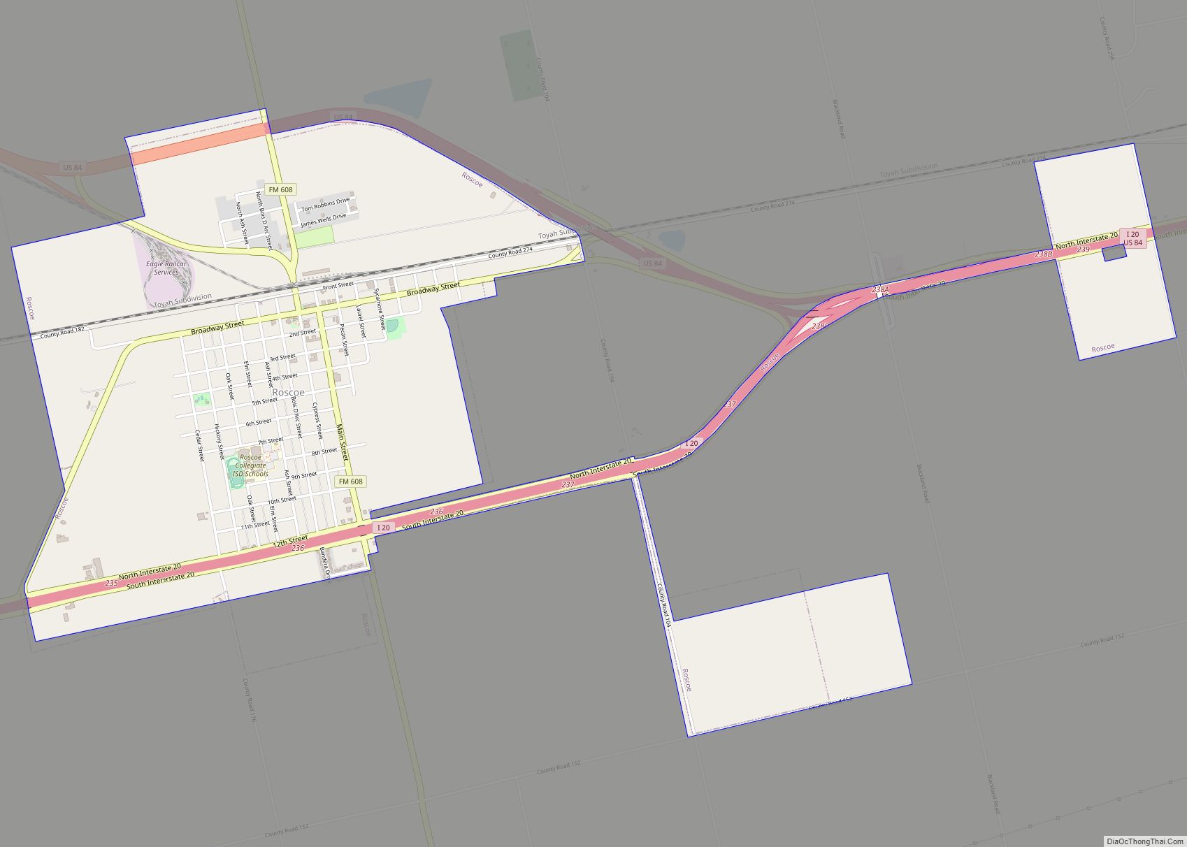
Roscoe is a city in Nolan County in the U.S. state of Texas near the intersection of Interstate 20 and US Highway 84. The Union Pacific Railroad passes through the center of the city. Roscoe city overview: Name: Roscoe city LSAD Code: 25 LSAD Description: city (suffix) State: Texas County: Nolan County Elevation: 2,388 ft (728 m) … Read more

Map of Ropesville city

Map of Ropesville city

Ropesville is a city in Hockley County, Texas, United States. Its population was 434 at the 2010 census, down from 517 at the 2000 census. Ropesville city overview: Name: Ropesville city LSAD Code: 25 LSAD Description: city (suffix) State: Texas County: Hockley County Elevation: 3,363 ft (1,025 m) Total Area: 0.36 sq mi (0.94 km²) Land Area: 0.36 sq mi (0.94 km²) Water … Read more

Map of Roman Forest city

Map of Roman Forest city

Roman Forest is a city in Montgomery County, Texas, United States. The population was 1,781 at the 2020 census. Roman Forest city overview: Name: Roman Forest city LSAD Code: 25 LSAD Description: city (suffix) State: Texas County: Montgomery County Elevation: 105 ft (32 m) Total Area: 2.20 sq mi (5.70 km²) Land Area: 2.18 sq mi (5.64 km²) Water Area: 0.02 sq mi (0.06 km²) Total … Read more

Map of Roxton city

Map of Roxton city

Roxton is a city in Lamar County, Texas, United States. As of the 2010 census, the city population was 650 and 548 in 2020. Roxton city overview: Name: Roxton city LSAD Code: 25 LSAD Description: city (suffix) State: Texas County: Lamar County Elevation: 512 ft (156 m) Total Area: 0.87 sq mi (2.26 km²) Land Area: 0.86 sq mi (2.24 km²) Water Area: … Read more

Map of Rowlett city

Map of Rowlett city

Rowlett (/raʊˈlɛt/, traditionally /ˈraʊlɪt/) is a city in Dallas and Rockwall counties in the U.S. state of Texas, and an eastern suburb of Dallas. The total population estimate is 73,270 in 2021. It is a growing, upscale community with nearly $1.5 billion in development in the Dallas–Fort Worth metroplex, located on Lake Ray Hubbard. Rowlett … Read more

Map of Round Top town

Map of Round Top town

Round Top is a town in Fayette County, Texas, United States. The population was 90 at the 2010 census. Round Top town overview: Name: Round Top town LSAD Code: 43 LSAD Description: town (suffix) State: Texas County: Fayette County Elevation: 440 ft (134 m) Total Area: 0.95 sq mi (2.47 km²) Land Area: 0.95 sq mi (2.47 km²) Water Area: 0.00 sq mi (0.00 km²) Total … Read more

Map of Round Mountain town, Texas

Map of Round Mountain town, Texas

Round Mountain is a town in Blanco County, Texas, United States. The population was 181 at the 2010 census. Round Mountain town overview: Name: Round Mountain town LSAD Code: 43 LSAD Description: town (suffix) State: Texas County: Blanco County Elevation: 1,280 ft (390 m) Total Area: 2.30 sq mi (5.97 km²) Land Area: 2.30 sq mi (5.97 km²) Water Area: 0.00 sq mi (0.00 km²) Total … Read more

Map of Rotan city

Map of Rotan city

Rotan is a city in Fisher County, Texas, United States. The population was 1,508 at the 2010 census, down from 1,611 at the 2000 census. Rotan city overview: Name: Rotan city LSAD Code: 25 LSAD Description: city (suffix) State: Texas County: Fisher County Elevation: 1,949 ft (594 m) Total Area: 2.02 sq mi (5.24 km²) Land Area: 2.02 sq mi (5.24 km²) Water … Read more

Map of Rosser village

Map of Rosser village

Rosser is a village in Kaufman County, Texas, United States. The population was 332 at the 2010 census. Rosser village overview: Name: Rosser village LSAD Code: 47 LSAD Description: village (suffix) State: Texas County: Kaufman County Elevation: 361 ft (110 m) Total Area: 1.94 sq mi (5.03 km²) Land Area: 1.91 sq mi (4.95 km²) Water Area: 0.03 sq mi (0.08 km²) Total Population: 332 Population … Read more

Map of Ross city, Texas

Map of Ross city, Texas

Ross is a rural city in McLennan County, Texas, United States. The population was 234 at the 2010 census. It is part of the Waco Metropolitan Statistical Area. Ross city overview: Name: Ross city LSAD Code: 25 LSAD Description: city (suffix) State: Texas County: McLennan County Elevation: 571 ft (174 m) Total Area: 1.75 sq mi (4.53 km²) Land Area: … Read more

Map of Rosita CDP

Map of Rosita CDP

Rosita, formerly known as Rosita South, is a census-designated place (CDP) in Maverick County, Texas, United States. The population was 2,704 as of the 2010 census. The Kickapoo Indian Reservation of Texas is located within the community. Rosita CDP overview: Name: Rosita CDP LSAD Code: 57 LSAD Description: CDP (suffix) State: Texas County: Maverick County … Read more