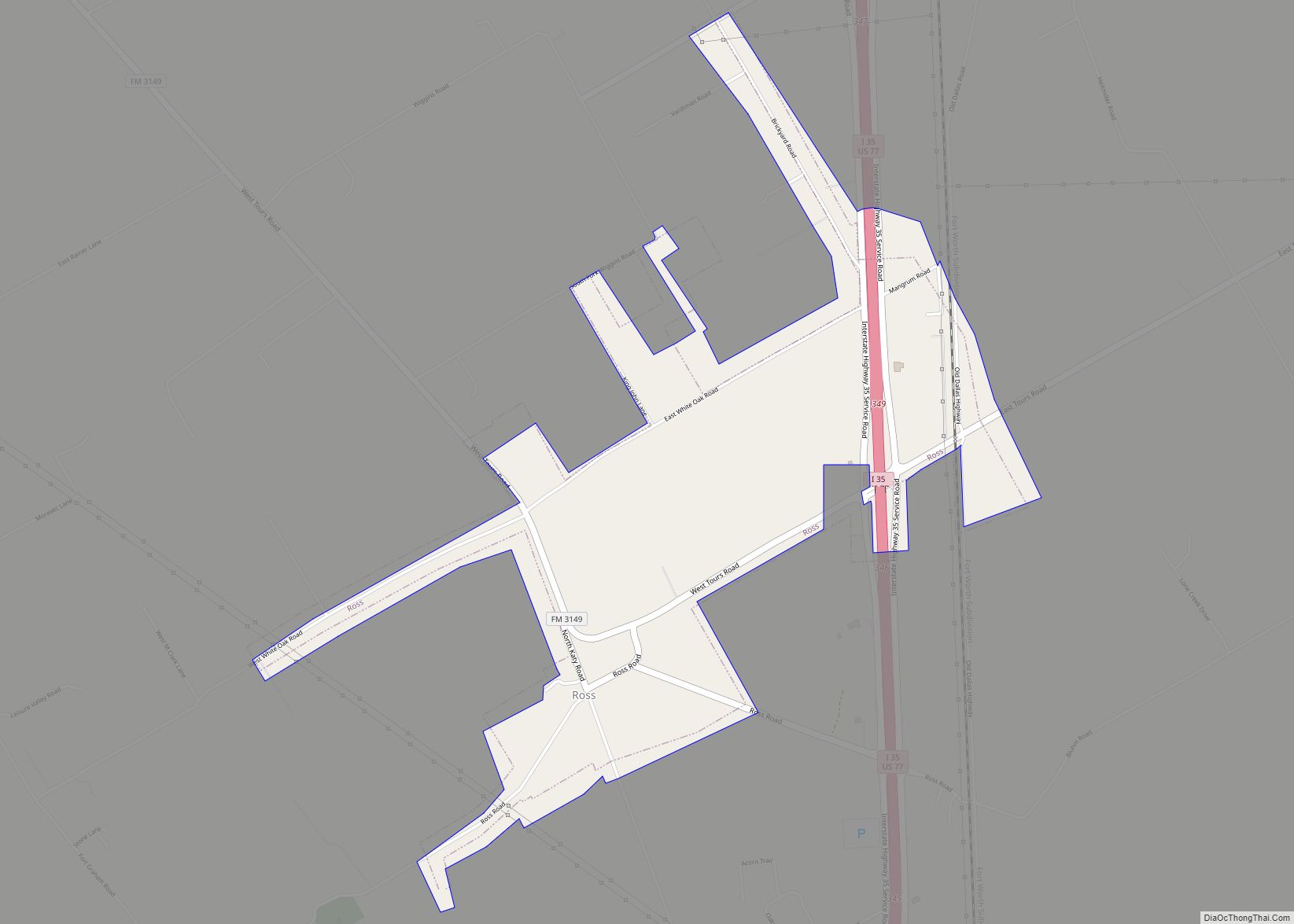
Map of Rotan city

Map of Rotan city

Rotan is a city in Fisher County, Texas, United States. The population was 1,508 at the 2010 census, down from 1,611 at the 2000 census. Rotan city overview: Name: Rotan city LSAD Code: 25 LSAD Description: city (suffix) State: Texas County: Fisher County Elevation: 1,949 ft (594 m) Total Area: 2.02 sq mi (5.24 km²) Land Area: 2.02 sq mi (5.24 km²) Water … Read more

Map of Rosser village

Map of Rosser village

Rosser is a village in Kaufman County, Texas, United States. The population was 332 at the 2010 census. Rosser village overview: Name: Rosser village LSAD Code: 47 LSAD Description: village (suffix) State: Texas County: Kaufman County Elevation: 361 ft (110 m) Total Area: 1.94 sq mi (5.03 km²) Land Area: 1.91 sq mi (4.95 km²) Water Area: 0.03 sq mi (0.08 km²) Total Population: 332 Population … Read more

Map of Salado village

Map of Salado village

Salado (/səˈleɪdoʊ/ sə-LAY-doh) is a town in Bell County, Texas, United States. Salado was first incorporated in 1867 for the sole purpose of building a bridge across Salado Creek. In 2000, the citizens of Salado voted in favor of reincorporation, before which it was a census-designated place. The population was 2,394 at the 2020 census. … Read more

Map of Saginaw city, Texas

Map of Saginaw city, Texas

Saginaw is a small city in Tarrant County, Texas, United States, and an Inner suburb of Fort Worth. The population was 24,310 in 2019. Saginaw is a Home rule municipality. Saginaw city overview: Name: Saginaw city LSAD Code: 25 LSAD Description: city (suffix) State: Texas County: Tarrant County Elevation: 728 ft (222 m) Total Area: 7.66 sq mi (19.82 km²) … Read more

Map of Sadler city

Map of Sadler city

Sadler is a city in Grayson County, Texas, United States. The population was 343 at the 2010 census, down from 404 at the 2000 census. It is part of the Sherman–Denison Metropolitan Statistical Area. Sadler city overview: Name: Sadler city LSAD Code: 25 LSAD Description: city (suffix) State: Texas County: Grayson County Elevation: 719 ft (219 m) … Read more

Map of Sachse city

Map of Sachse city

Sachse (/ˈsæksi/ SAK-see) is a city in Collin and Dallas counties in the U.S. state of Texas and is part of the DFW metroplex. A northeastern suburb of Dallas, the city population was 27,103, as of the 2020 census with an estimated population of 29,042 people today. Sachse is located off Texas State Highway 78 … Read more

Map of Sabinal city

Map of Sabinal city

Sabinal is a city in Uvalde County, Texas, United States. The population was 1,695 at the 2010 census. Sabinal city overview: Name: Sabinal city LSAD Code: 25 LSAD Description: city (suffix) State: Texas County: Uvalde County Elevation: 958 ft (292 m) Total Area: 1.19 sq mi (3.08 km²) Land Area: 1.19 sq mi (3.08 km²) Water Area: 0.00 sq mi (0.00 km²) Total Population: 1,695 Population … Read more

Map of Rusk city

Map of Rusk city

Rusk is a city and the county seat of Cherokee County in the U.S. state of Texas. At the 2020 United States census, it had a population of 5,285. Rusk city overview: Name: Rusk city LSAD Code: 25 LSAD Description: city (suffix) State: Texas County: Cherokee County Elevation: 518 ft (158 m) Total Area: 7.26 sq mi (18.80 km²) Land … Read more

Map of Runge town

Map of Runge town

Runge is a town in Karnes County, Texas, United States. The town is pronounced “Run-Gee”. The population was 892 at the 2020 census. Runge town overview: Name: Runge town LSAD Code: 43 LSAD Description: town (suffix) State: Texas County: Karnes County Elevation: 312 ft (95 m) Total Area: 1.18 sq mi (3.06 km²) Land Area: 1.18 sq mi (3.05 km²) Water Area: 0.00 sq mi … Read more

Map of Runaway Bay city

Map of Runaway Bay city

Runaway Bay is a city in Wise County, Texas, lying at the Southern end of Lake Bridgeport. The population was 1,546 in 2020. Runaway Bay city overview: Name: Runaway Bay city LSAD Code: 25 LSAD Description: city (suffix) State: Texas County: Wise County Elevation: 912 ft (278 m) Total Area: 6.79 sq mi (17.58 km²) Land Area: 2.52 sq mi (6.52 km²) Water … Read more

Map of Salineño CDP

Map of Salineño CDP

Salineño is a census-designated place (CDP) in Starr County, Texas, United States. The name was changed in 2008, adding a tilde over the second n. The population was 176 at the 2020 census, down from 201 at the 2010 census. Salineño CDP overview: Name: Salineño CDP LSAD Code: 57 LSAD Description: CDP (suffix) State: Texas … Read more

Map of Salineño North CDP

Map of Salineño North CDP

Salineño North is a census-designated place (CDP) in Starr County, Texas, United States. This was a new CDP for the 2010 census with a population of 115. Salineño North CDP overview: Name: Salineño North CDP LSAD Code: 57 LSAD Description: CDP (suffix) State: Texas County: Starr County Total Area: 0.2 sq mi (0.5 km²) Land Area: 0.2 sq mi (0.5 km²) … Read more