Salado (/səˈleɪdoʊ/ sə-LAY-doh) is a town in Bell County, Texas, United States. Salado was first incorporated in 1867 for the sole purpose of building a bridge across Salado Creek. In 2000, the citizens of Salado voted in favor of reincorporation, before which it was a census-designated place. The population was 2,394 at the 2020 census.
| Name: | Salado village |
|---|---|
| LSAD Code: | 47 |
| LSAD Description: | village (suffix) |
| State: | Texas |
| County: | Bell County |
| Elevation: | 600 ft (183 m) |
| Total Area: | 3.15 sq mi (8.15 km²) |
| Land Area: | 3.10 sq mi (8.03 km²) |
| Water Area: | 0.04 sq mi (0.12 km²) |
| Total Population: | 2,394 |
| Population Density: | 764.27/sq mi (295.04/km²) |
| ZIP code: | 76571 |
| Area code: | 254 |
| FIPS code: | 4864268 |
| Website: | saladotx.gov |
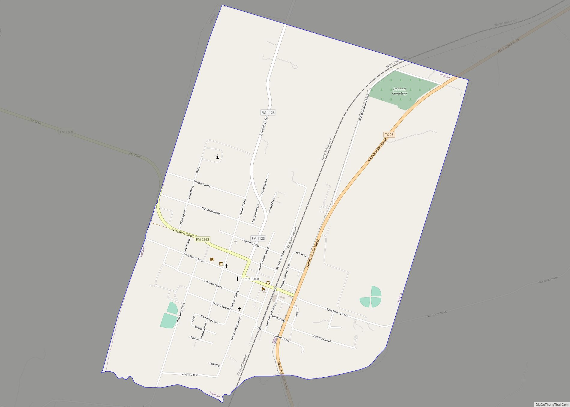
Online Interactive Map
Click on ![]() to view map in "full screen" mode.
to view map in "full screen" mode.
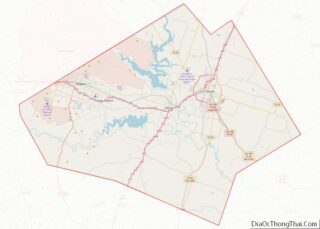
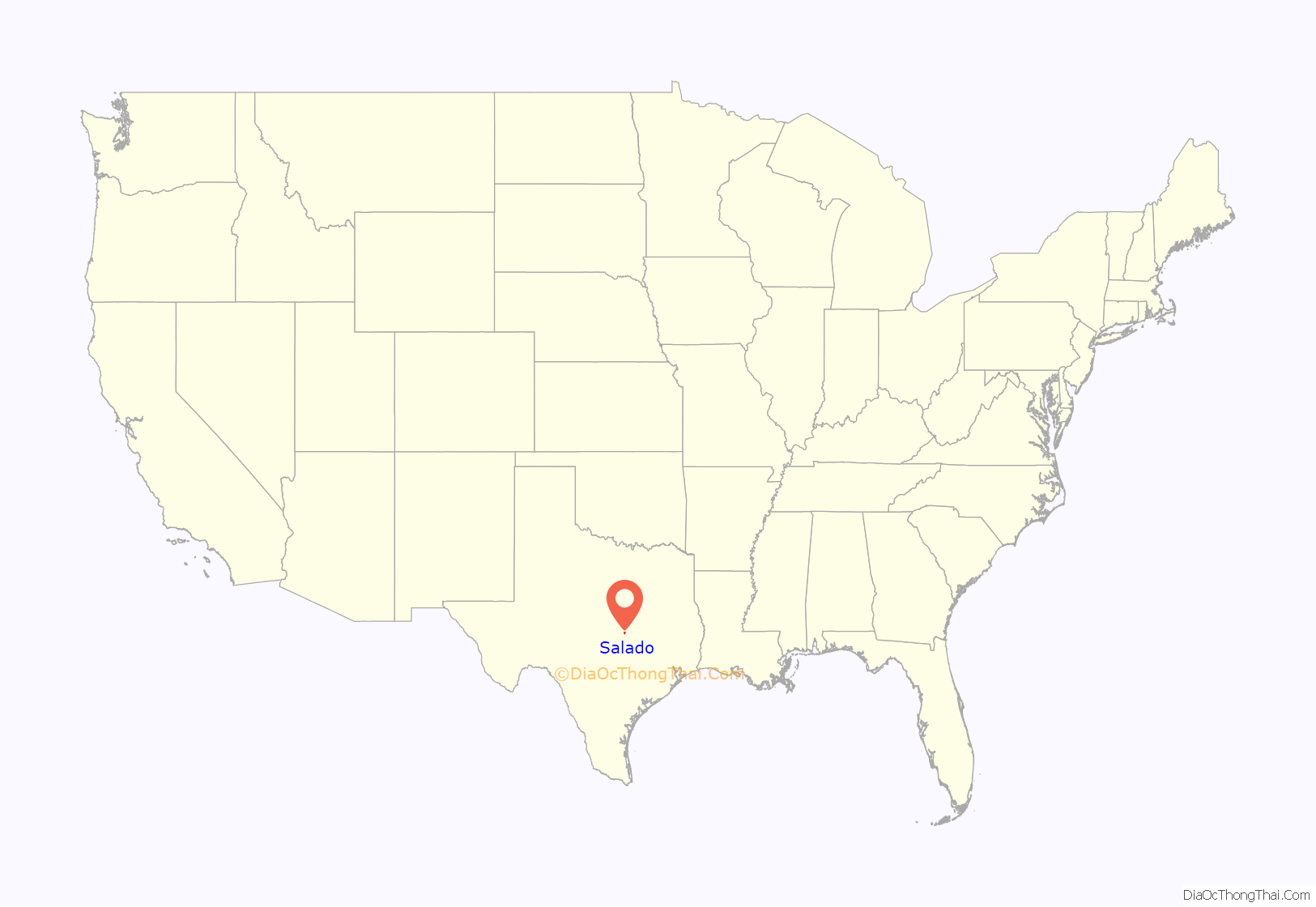
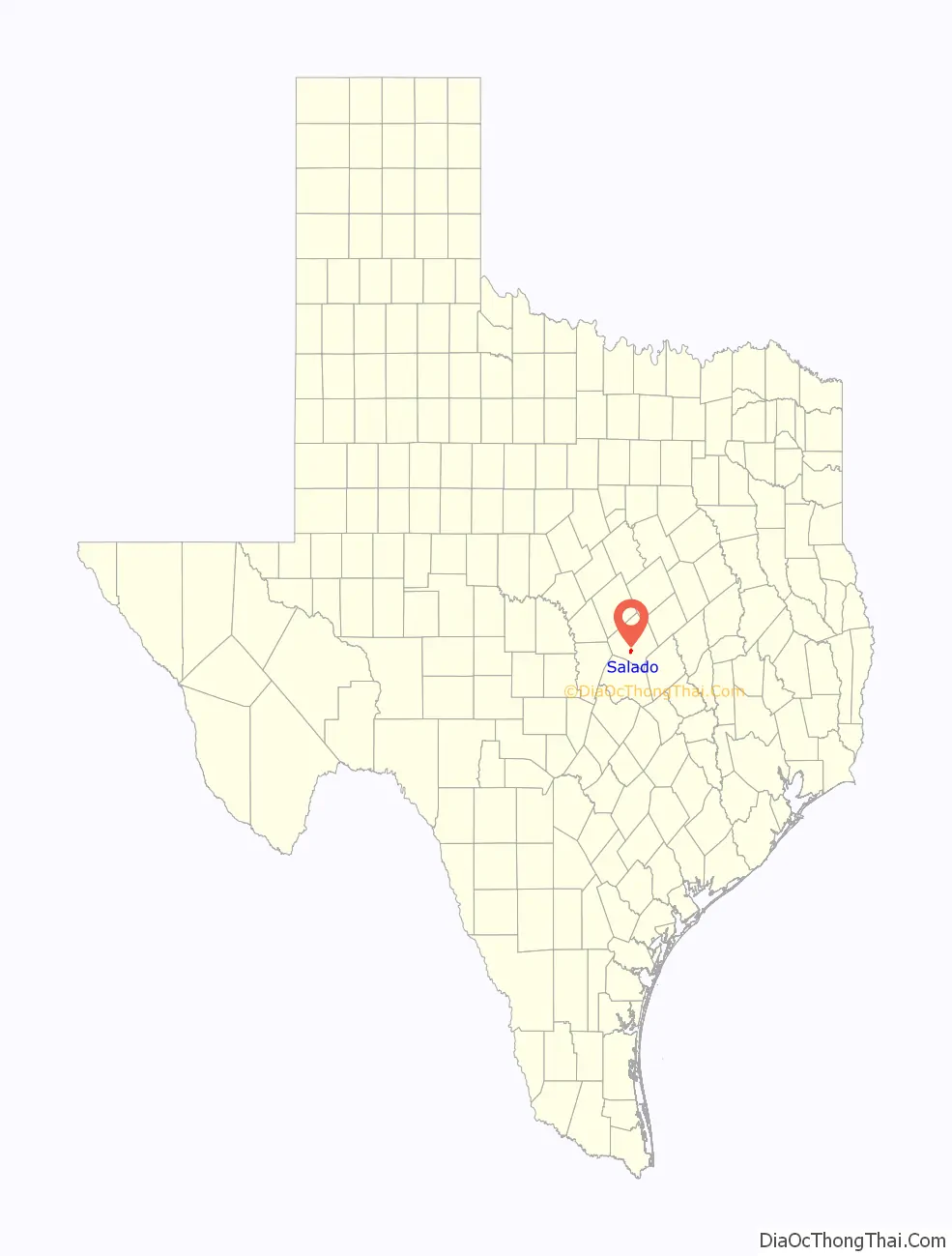
Salado location map. Where is Salado village?
History
Archaeological evidence of a paleolithic Native American settlement dating back about 15,500 years, the Buttermilk Creek Complex, has been unearthed in Salado.
The first record of white settlers in the area occurred in 1834, but by 1836, the pioneer settlers abandoned the area due to frequent Indian attacks and the invasion by General Santa Anna and the Mexican Army. The first permanent Anglo-American settler at Salado was Archibald Willingham in 1850. In 1852, the Salado Post Office was established. In 1859, the Salado College Joint Stock Company was created by Col. Elijah Sterling Clack Robertson, who donated 320 acres north and south of the springs to be broken into lots and form the village of Salado, with the proceeds of the sale going to form Salado College. The college operated from 1860 to 1885 and 1895 to 1913; the former college building was occupied by the Thomas Arnold High School.
From 1866 to 1885, the famous Chisholm Trail cattle drives passed through this area, with the Stagecoach Inn being one of the stops. In 1867, Salado incorporated to build a bridge across Salado Creek. By 1884, Salado had a population of 900, seven churches, 14 stores, two hotels, two blacksmiths, and three cotton gins. However, after the railroads bypassed Salado to the north and south, trade moved away from the town and the population began to dwindle, hitting 400 by 1914 and down to 200 by 1950.
The town is home to the Stagecoach Inn, the oldest continuously running hotel in Texas.
Nineteen Salado locations are listed in the National Register of Historic Places, including the George Washington Baines House.
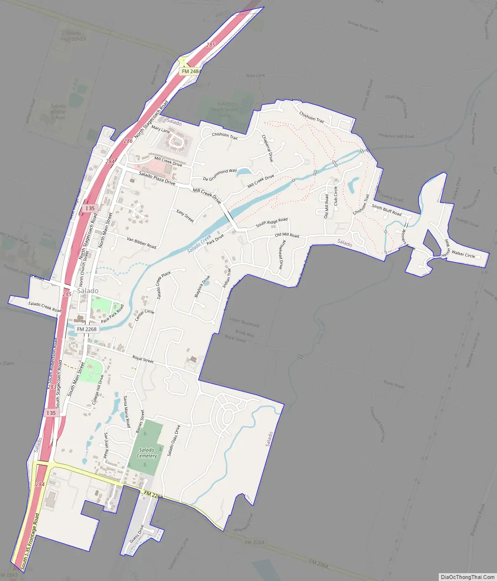
Salado Road Map
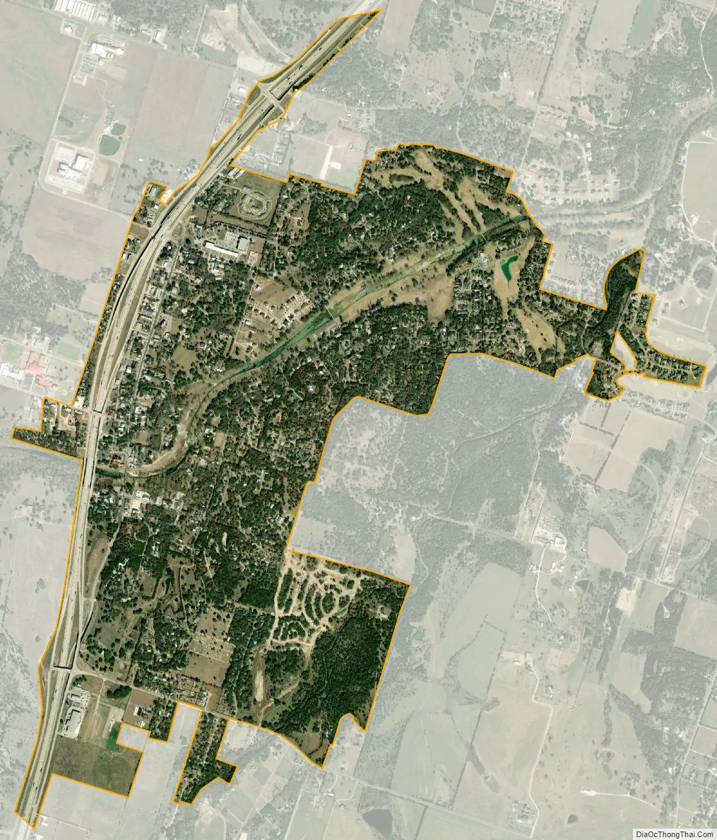
Salado city Satellite Map
Geography
Salado is located in south-central Bell County at 30°57′19″N 97°32′05″W / 30.955225°N 97.534610°W / 30.955225; -97.534610. Interstate 35 runs through the village, leading north 9 miles (14 km) to Belton, the county seat, and south 23 miles (37 km) to Georgetown.
According to the United States Census Bureau, the village has a total area of 2.2 square miles (5.7 km), of which 0.04 square miles (0.1 km), or 2.10%, is covered by water.
Salado is located along the Balcones Fault, which causes the emergence of surface waters. The fault line is also a demarcation line for some species’ natural ranges. For example, the California fan palm, Washingtonia filifera, occurs strictly west of Salado or the Balcones Fault.
Salado Creek was selected as the first Texas Natural Landmark.
Climate
The climate in this area is characterized by hot, humid summers and generally mild to cool winters. According to the Köppen climate classification system, Salado has a humid subtropical climate, Cfa on climate maps.
See also
Map of Texas State and its subdivision:- Anderson
- Andrews
- Angelina
- Aransas
- Archer
- Armstrong
- Atascosa
- Austin
- Bailey
- Bandera
- Bastrop
- Baylor
- Bee
- Bell
- Bexar
- Blanco
- Borden
- Bosque
- Bowie
- Brazoria
- Brazos
- Brewster
- Briscoe
- Brooks
- Brown
- Burleson
- Burnet
- Caldwell
- Calhoun
- Callahan
- Cameron
- Camp
- Carson
- Cass
- Castro
- Chambers
- Cherokee
- Childress
- Clay
- Cochran
- Coke
- Coleman
- Collin
- Collingsworth
- Colorado
- Comal
- Comanche
- Concho
- Cooke
- Coryell
- Cottle
- Crane
- Crockett
- Crosby
- Culberson
- Dallam
- Dallas
- Dawson
- Deaf Smith
- Delta
- Denton
- Dewitt
- Dickens
- Dimmit
- Donley
- Duval
- Eastland
- Ector
- Edwards
- El Paso
- Ellis
- Erath
- Falls
- Fannin
- Fayette
- Fisher
- Floyd
- Foard
- Fort Bend
- Franklin
- Freestone
- Frio
- Gaines
- Galveston
- Garza
- Gillespie
- Glasscock
- Goliad
- Gonzales
- Gray
- Grayson
- Gregg
- Grimes
- Guadalupe
- Hale
- Hall
- Hamilton
- Hansford
- Hardeman
- Hardin
- Harris
- Harrison
- Hartley
- Haskell
- Hays
- Hemphill
- Henderson
- Hidalgo
- Hill
- Hockley
- Hood
- Hopkins
- Houston
- Howard
- Hudspeth
- Hunt
- Hutchinson
- Irion
- Jack
- Jackson
- Jasper
- Jeff Davis
- Jefferson
- Jim Hogg
- Jim Wells
- Johnson
- Jones
- Karnes
- Kaufman
- Kendall
- Kenedy
- Kent
- Kerr
- Kimble
- King
- Kinney
- Kleberg
- Knox
- La Salle
- Lamar
- Lamb
- Lampasas
- Lavaca
- Lee
- Leon
- Liberty
- Limestone
- Lipscomb
- Live Oak
- Llano
- Loving
- Lubbock
- Lynn
- Madison
- Marion
- Martin
- Mason
- Matagorda
- Maverick
- McCulloch
- McLennan
- McMullen
- Medina
- Menard
- Midland
- Milam
- Mills
- Mitchell
- Montague
- Montgomery
- Moore
- Morris
- Motley
- Nacogdoches
- Navarro
- Newton
- Nolan
- Nueces
- Ochiltree
- Oldham
- Orange
- Palo Pinto
- Panola
- Parker
- Parmer
- Pecos
- Polk
- Potter
- Presidio
- Rains
- Randall
- Reagan
- Real
- Red River
- Reeves
- Refugio
- Roberts
- Robertson
- Rockwall
- Runnels
- Rusk
- Sabine
- San Augustine
- San Jacinto
- San Patricio
- San Saba
- Schleicher
- Scurry
- Shackelford
- Shelby
- Sherman
- Smith
- Somervell
- Starr
- Stephens
- Sterling
- Stonewall
- Sutton
- Swisher
- Tarrant
- Taylor
- Terrell
- Terry
- Throckmorton
- Titus
- Tom Green
- Travis
- Trinity
- Tyler
- Upshur
- Upton
- Uvalde
- Val Verde
- Van Zandt
- Victoria
- Walker
- Waller
- Ward
- Washington
- Webb
- Wharton
- Wheeler
- Wichita
- Wilbarger
- Willacy
- Williamson
- Wilson
- Winkler
- Wise
- Wood
- Yoakum
- Young
- Zapata
- Zavala
- Alabama
- Alaska
- Arizona
- Arkansas
- California
- Colorado
- Connecticut
- Delaware
- District of Columbia
- Florida
- Georgia
- Hawaii
- Idaho
- Illinois
- Indiana
- Iowa
- Kansas
- Kentucky
- Louisiana
- Maine
- Maryland
- Massachusetts
- Michigan
- Minnesota
- Mississippi
- Missouri
- Montana
- Nebraska
- Nevada
- New Hampshire
- New Jersey
- New Mexico
- New York
- North Carolina
- North Dakota
- Ohio
- Oklahoma
- Oregon
- Pennsylvania
- Rhode Island
- South Carolina
- South Dakota
- Tennessee
- Texas
- Utah
- Vermont
- Virginia
- Washington
- West Virginia
- Wisconsin
- Wyoming