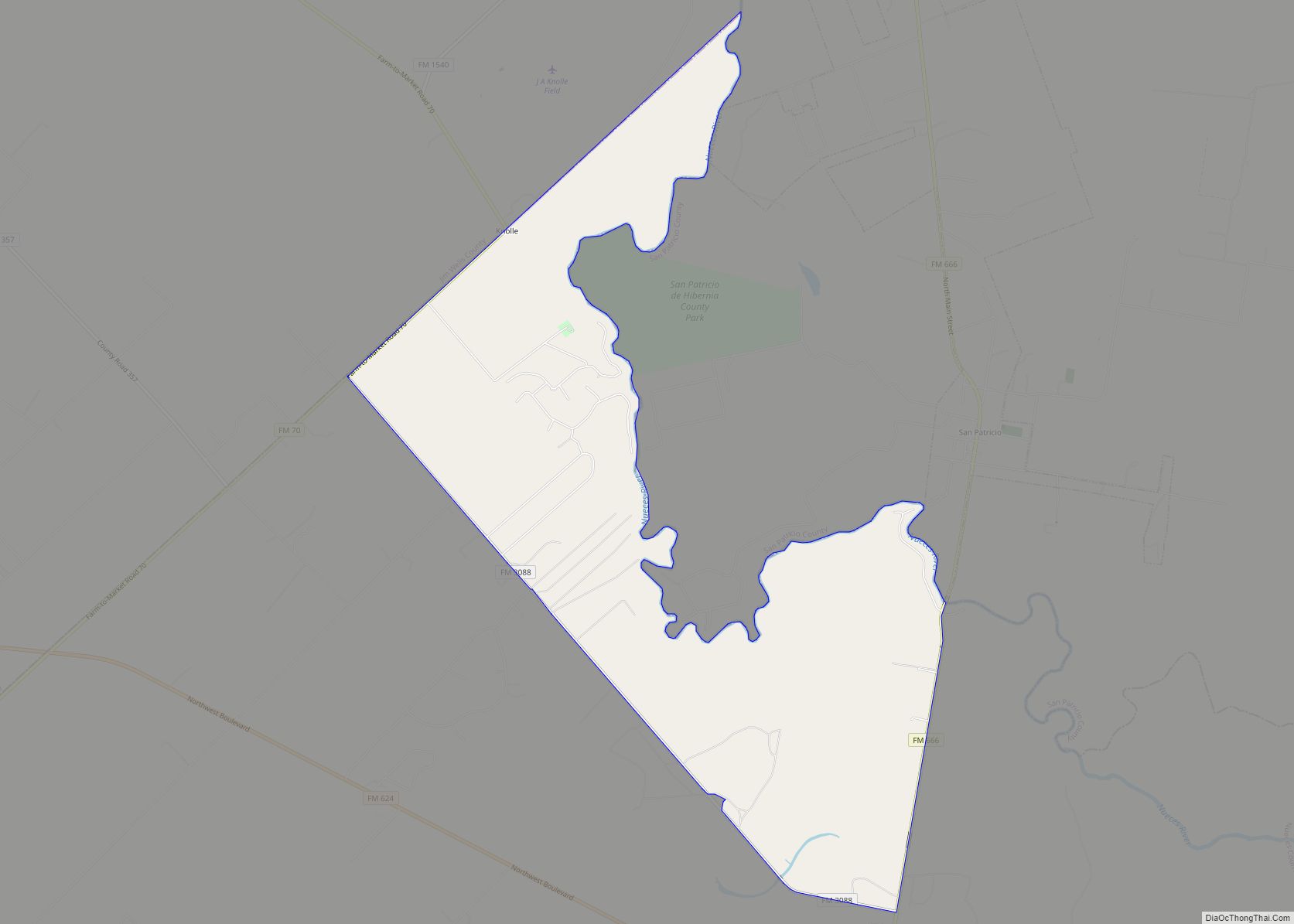
Map of Sanderson CDP

Map of Sanderson CDP

Sanderson is a census-designated place (CDP) in and the county seat of Terrell County, Texas, United States. The population was 837 at the 2010 census. Sanderson was created in 1882 as a part of neighboring Pecos County. It became the seat of Terrell County in 1905. Sanderson CDP overview: Name: Sanderson CDP LSAD Code: 57 … Read more

Map of Sand Springs CDP, Texas

Map of Sand Springs CDP, Texas

Sand Springs is an unincorporated community and census-designated place in Howard County, Texas, United States. Its population was 835 at the 2010 census. Interstate 20 passes through the community. Sand Springs CDP overview: Name: Sand Springs CDP LSAD Code: 57 LSAD Description: CDP (suffix) State: Texas County: Howard County Elevation: 2,431 ft (741 m) Total Area: 2.570 sq mi … Read more

Map of Sanctuary town

Map of Sanctuary town

Sanctuary is a town in Parker County, Texas, United States. The population was 329 at the 2010 census, and was incorporated in the early 1980s. Sanctuary town overview: Name: Sanctuary town LSAD Code: 43 LSAD Description: town (suffix) State: Texas County: Parker County Elevation: 768 ft (234 m) Total Area: 0.86 sq mi (2.22 km²) Land Area: 0.86 sq mi (2.22 km²) Water … Read more

Map of San Ygnacio CDP

Map of San Ygnacio CDP

San Ygnacio is a census-designated place (CDP) in Zapata County, Texas, in the United States. As of the 2010 census, the CDP population was 667. It is named for the prominent Spanish saint, Ignatius of Loyola. The portion of the community between the Rio Grande and U.S. Highway 83 is listed on the National Register … Read more

Map of San Saba city

Map of San Saba city

San Saba is a city located in, and the county seat of, San Saba County, Texas, United States. It was settled in 1854 and named for its location on the San Saba River. Its population was 3,099 at the 2010 census. San Saba city overview: Name: San Saba city LSAD Code: 25 LSAD Description: city … Read more

Map of San Perlita city

Map of San Perlita city

San Perlita (Santa Perlita) is a city in Willacy County, Texas, United States. The population was 573 at the 2010 census. It may be included as part of the Brownsville–Harlingen–Raymondville and the Matamoros–Brownsville metropolitan areas. San Perlita city overview: Name: San Perlita city LSAD Code: 25 LSAD Description: city (suffix) State: Texas County: Willacy County … Read more

Map of Sansom Park city

Map of Sansom Park city

Sansom Park is a city in Tarrant County, Texas, United States. Its population was 4,686 at the 2010 census. Sansom Park city overview: Name: Sansom Park city LSAD Code: 25 LSAD Description: city (suffix) State: Texas County: Tarrant County Elevation: 751 ft (229 m) Total Area: 1.24 sq mi (3.21 km²) Land Area: 1.24 sq mi (3.21 km²) Water Area: 0.00 sq mi (0.00 km²) Total … Read more

Map of Sanger city, Texas

Map of Sanger city, Texas

Sanger is a city in Denton County, Texas, United States. The population was 6,916 at the 2010 census, and 8,839 at the 2020 census. Sanger city overview: Name: Sanger city LSAD Code: 25 LSAD Description: city (suffix) State: Texas County: Denton County Elevation: 673 ft (205 m) Total Area: 11.81 sq mi (30.59 km²) Land Area: 11.76 sq mi (30.46 km²) Water Area: … Read more

Map of Sanford town, Texas

Map of Sanford town, Texas

Sanford is a town in Hutchinson County, Texas, United States. The population was 164 at the 2010 census, down from 203 at the 2000 census. On December 28, 1974, Hee Haw Season 6, Episode 16, Red Steagall saluted his hometown of Sanford, population 181. Sanford town overview: Name: Sanford town LSAD Code: 43 LSAD Description: … Read more

Map of Sandy Point city

Map of Sandy Point city

Sandy Point is a city on Farm to Market Road 521 (FM 521) in north central Brazoria County, Texas, United States. The small community is located near a state prison. In the 19th century, the settlement served nearby sugar cane and cotton plantations. Sandy Point’s post office, school and railroad have disappeared, but there were two … Read more

Map of Santa Monica CDP, Texas

Map of Santa Monica CDP, Texas

Santa Monica is a census-designated place (CDP) in Willacy County, Texas, United States. The population was 83 at the 2010 census. Santa Monica CDP overview: Name: Santa Monica CDP LSAD Code: 57 LSAD Description: CDP (suffix) State: Texas County: Willacy County Elevation: 16 ft (5 m) Total Area: 1.0 sq mi (3 km²) Land Area: 1.0 sq mi (3 km²) Water Area: 0.0 sq mi … Read more

Map of Santa Maria CDP, Texas

Map of Santa Maria CDP, Texas

Santa Maria is a census-designated place (CDP) in Cameron County, Texas, United States. The population was 733 at the 2010 census, down from 846 at the 2000 census. It is part of the Brownsville–Harlingen Metropolitan Statistical Area. Santa Maria CDP overview: Name: Santa Maria CDP LSAD Code: 57 LSAD Description: CDP (suffix) State: Texas County: … Read more