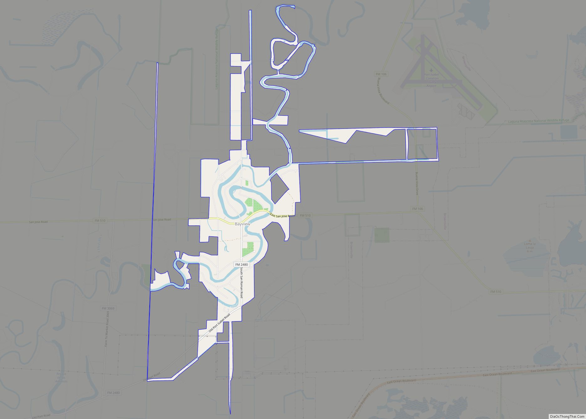
Bayview is a town in Cameron County, Texas, United States. The population was 383 at the 2010 census. It is part of the Brownsville–Harlingen–Raymondville and the Matamoros–Brownsville metropolitan areas. Bayview town overview: Name: Bayview town LSAD Code: 43 LSAD Description: town (suffix) State: Texas County: Cameron County Elevation: 26 ft (8 m) Total Area: 4.61 sq mi (11.95 km²) Land ... Read more
Texas Cities and Places
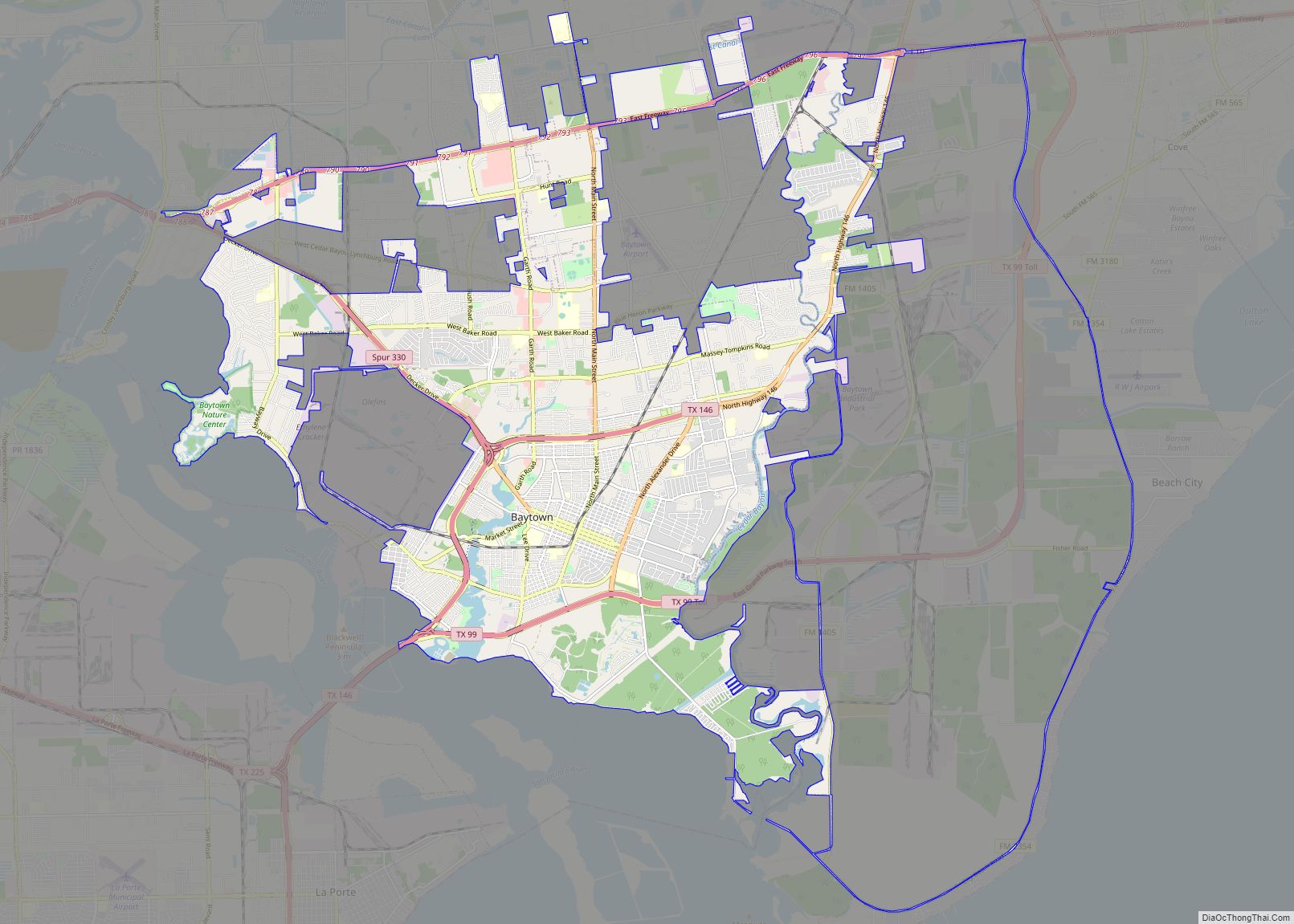
Baytown is a city in the U.S. state of Texas, within Harris and Chambers counties. Located in the Houston–The Woodlands–Sugar Land metropolitan statistical area, it lies on the northern side of the Galveston Bay complex near the outlets of the San Jacinto River and Buffalo Bayou. It is the sixth-largest city within this metropolitan area ... Read more
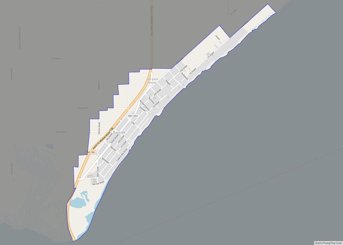
Bayside is a town in southern Refugio County, in the U.S. state of Texas. The population was 325 at the 2010 census. Bayside town overview: Name: Bayside town LSAD Code: 43 LSAD Description: town (suffix) State: Texas County: Refugio County Elevation: 16 ft (5 m) Total Area: 1.09 sq mi (2.82 km²) Land Area: 1.02 sq mi (2.63 km²) Water Area: 0.07 sq mi (0.19 km²) ... Read more
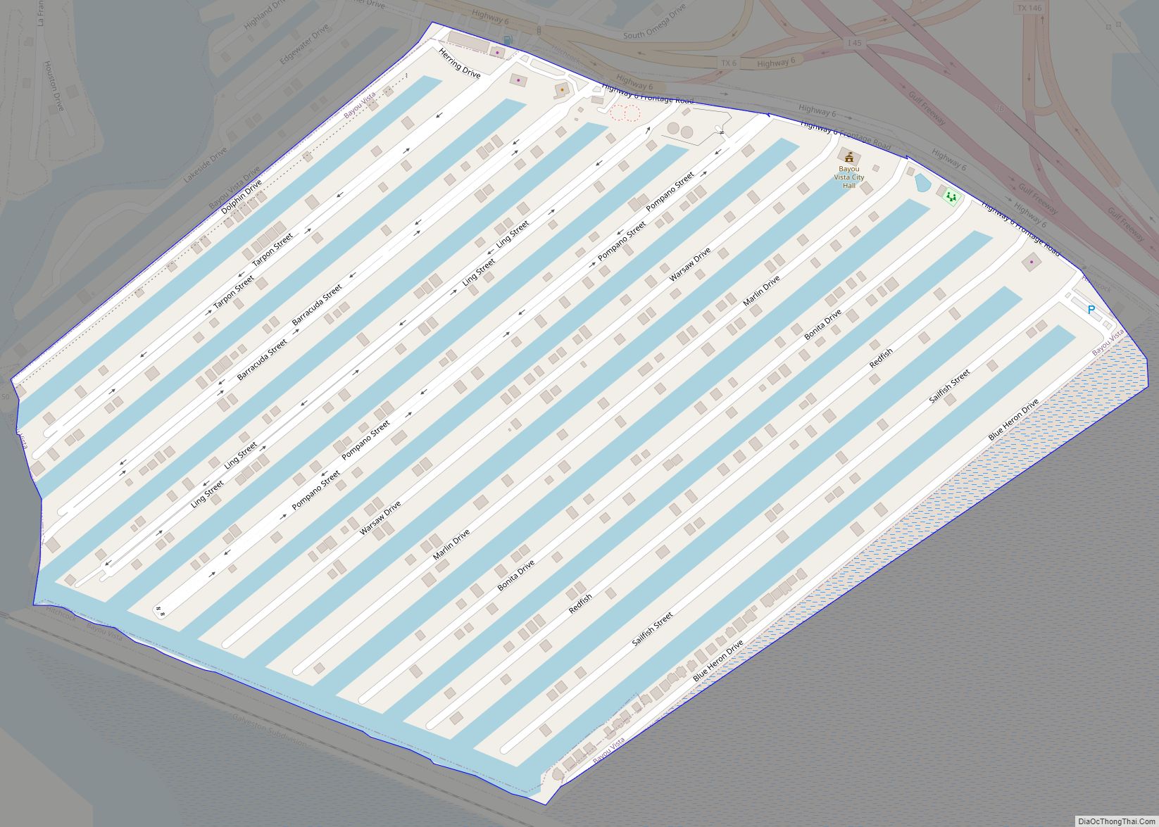
Bayou Vista is a city in Galveston County, Texas, United States. The population was 1,537 at the 2010 census. It received severe damage from Hurricane Ike on September 13, 2008. Bayou Vista city overview: Name: Bayou Vista city LSAD Code: 25 LSAD Description: city (suffix) State: Texas County: Galveston County Elevation: 3 ft (1 m) Total Area: ... Read more
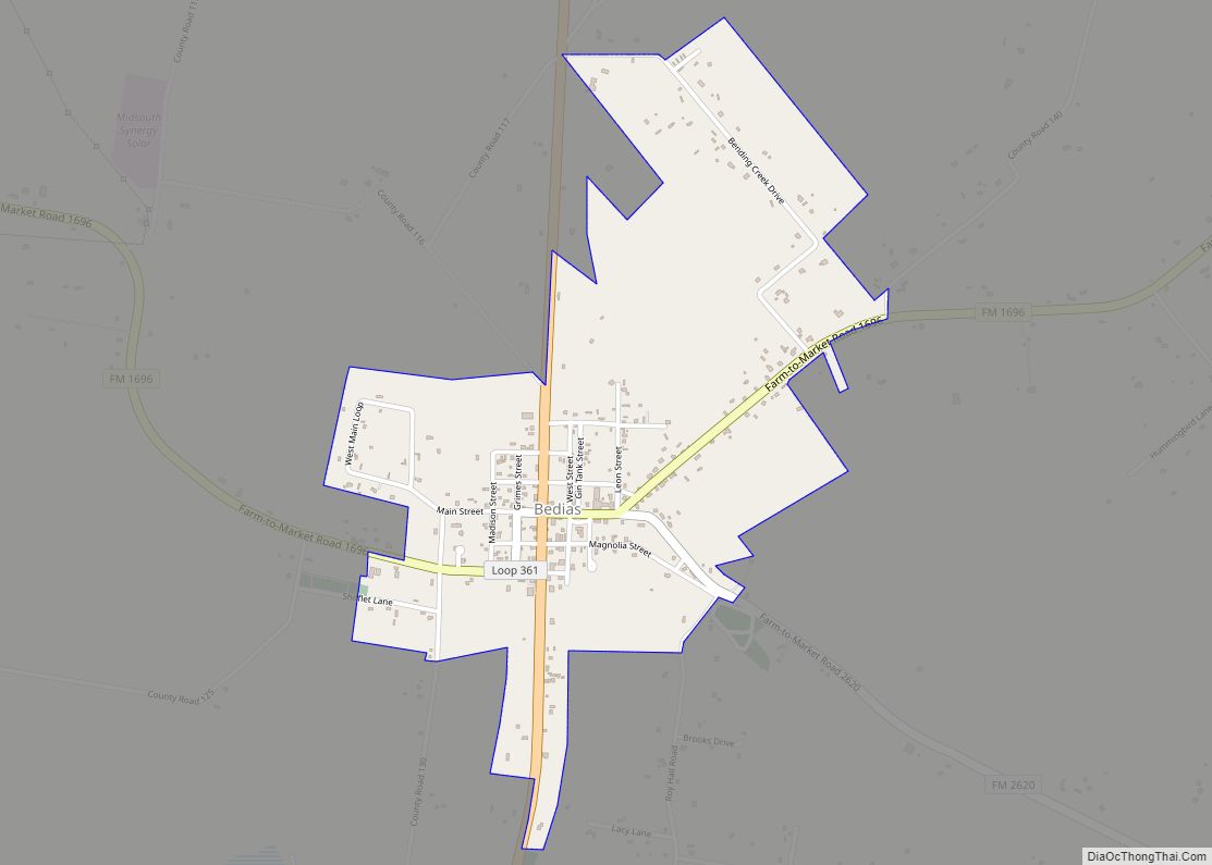
Bedias (/ˈbiːdaɪs/ BEE-dysse) is a city in Grimes County, Texas, United States at the intersection of State Highway 90 and Farm Roads 1696 and 2620, 30 miles (48 km) northeast of Navasota in northeastern Grimes County. It was incorporated as a city in 2003 and had a population of 361 at the 2020 census. Bedias city ... Read more
Bedford is a city located in northeast Tarrant County, Texas, in the “Mid-Cities” area between Dallas and Fort Worth. It is a suburb of Dallas and Fort Worth. The population was 46,979 at the 2010 census. Bedford is part of the Hurst-Euless-Bedford Independent School District. Bedford city overview: Name: Bedford city LSAD Code: 25 LSAD ... Read more
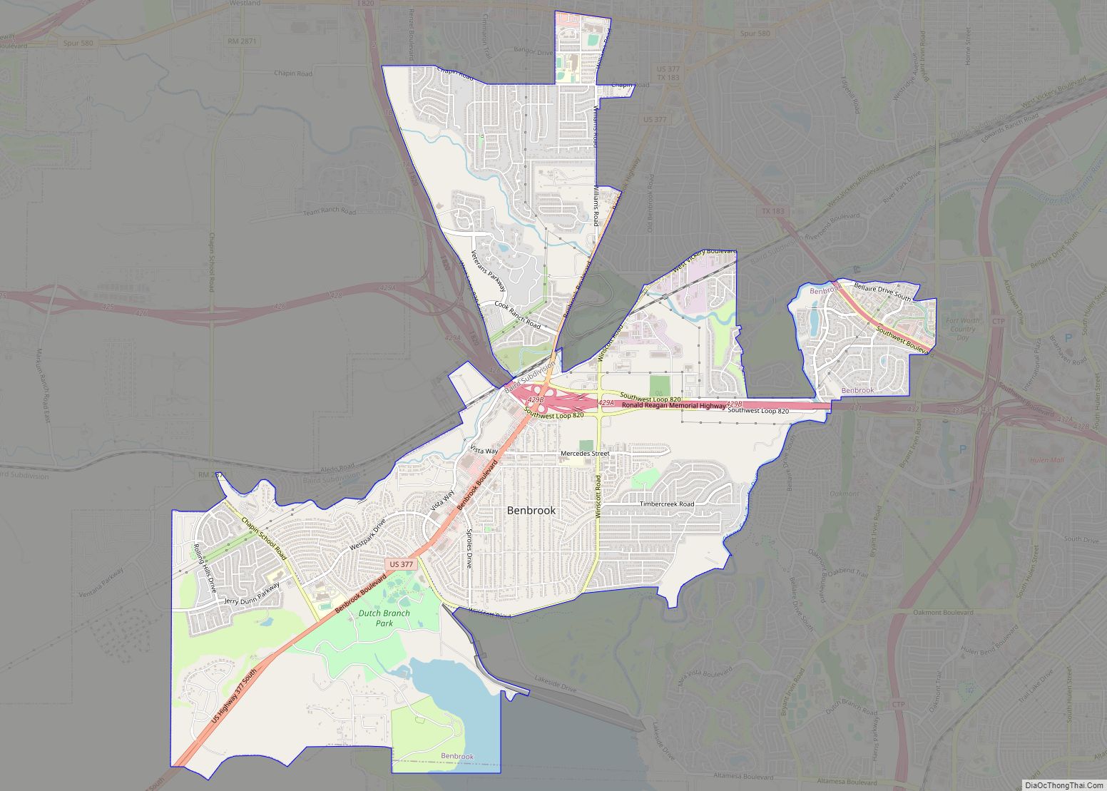
Benbrook is a town located in the southwestern corner of Tarrant County, Texas, and a suburb of Fort Worth. As of the 2010 United States census, the population was 21,234, reflecting an increase of 1,026 from the 20,208 counted in the 2000 census, which had in turn increased by 644 from the 19,564 counted in ... Read more
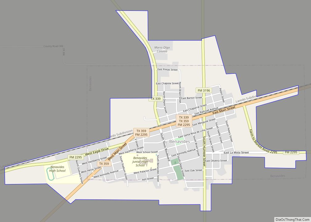
Benavides (/ˌbɛnəˈviːdəs/ BEN-ə-VEE-dəs) is a city in Duval County, Texas, United States. The population was 1,362 at the 2010 census, down from 1,686 at the 2000 census. Benavides city overview: Name: Benavides city LSAD Code: 25 LSAD Description: city (suffix) State: Texas County: Duval County Elevation: 374 ft (114 m) Total Area: 1.77 sq mi (4.59 km²) Land Area: 1.77 sq mi ... Read more
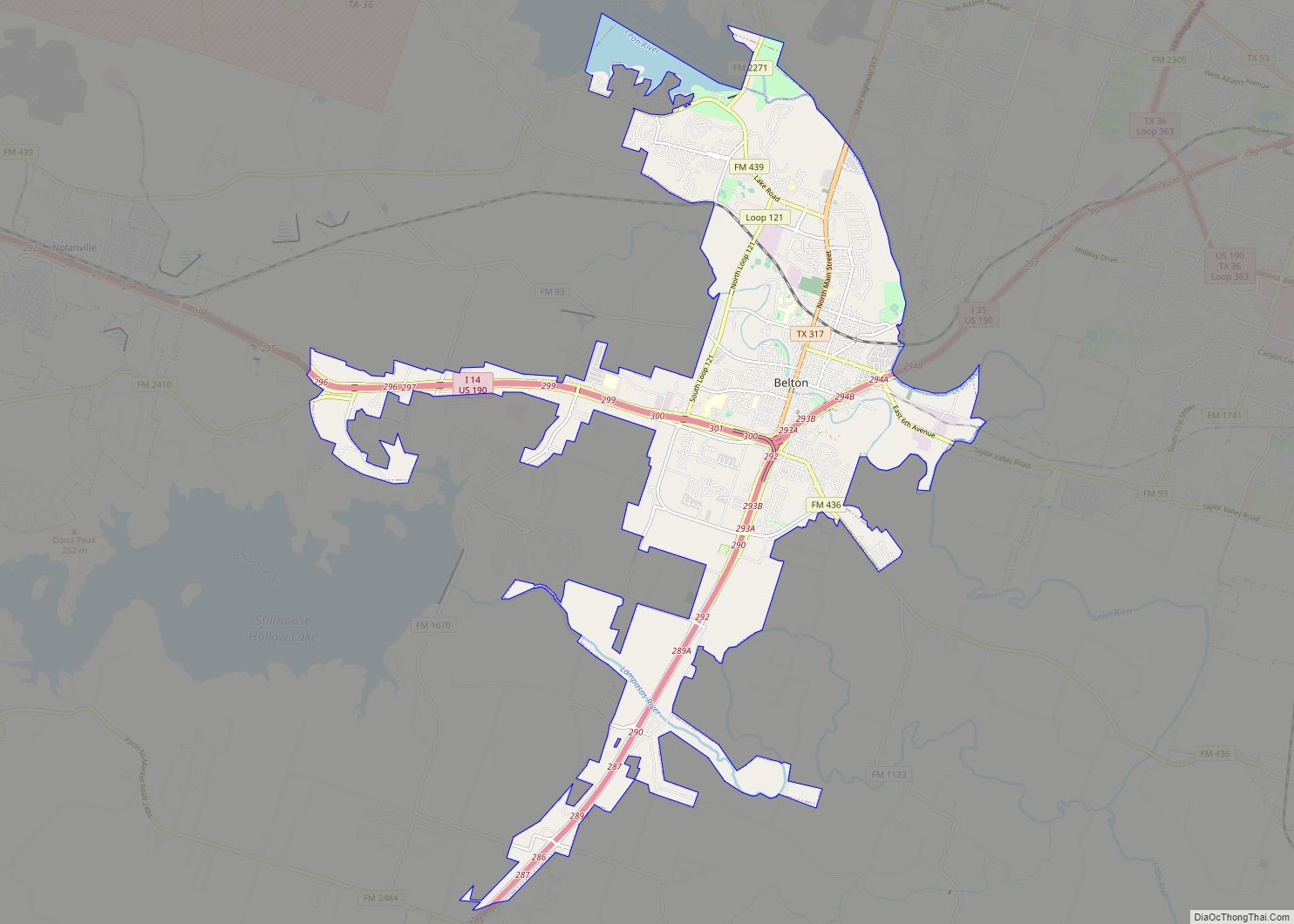
Belton is a city in the U.S. state of Texas. Belton is the county seat of Bell County and is the fifth largest city in the Killeen-Temple metropolitan area. In 2020, the population of Belton was 23,054, and the metro region had a population of 450,051 according to US Census estimates. Belton city overview: Name: ... Read more
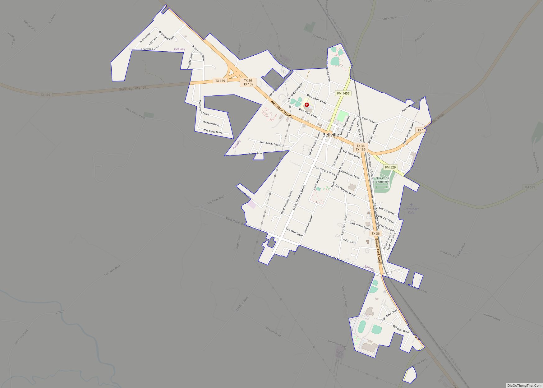
Bellville is a city in the U.S. state of Texas and the seat of Austin County. The city’s population was 4,206 at the 2020 census. Bellville is on the eastern edge of the Texas-German belt, and Bellville is known for its German culture and descendants of those Germans still call Bellville home. Bellville was named ... Read more
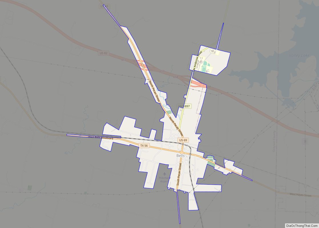
Bells is a city in Grayson County, Texas, United States. The population was 1,392 at the 2010 census, up from 1,190 at the 2000 census. The city lies north of Dallas and is part of the Sherman–Denison Metropolitan Statistical Area. Bells town overview: Name: Bells town LSAD Code: 43 LSAD Description: town (suffix) State: Texas ... Read more
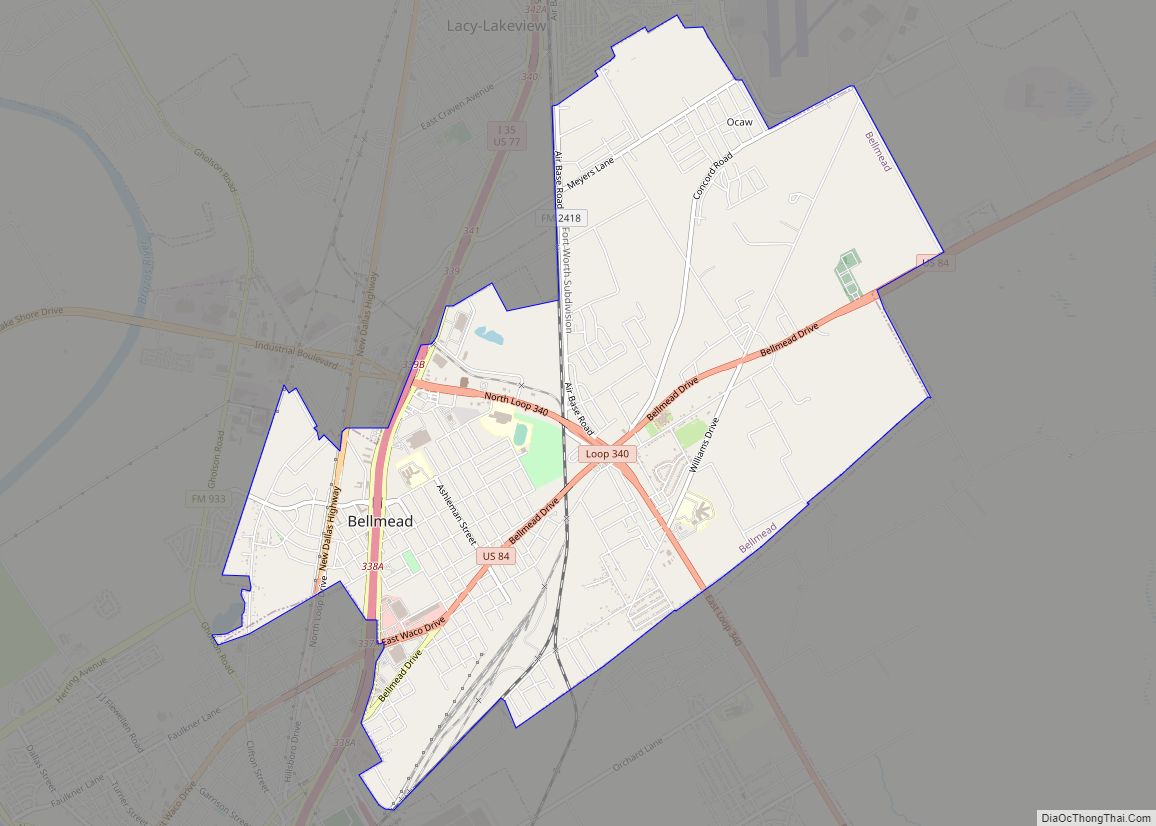
Bellmead is a city in McLennan County, Texas, United States. The population was 10,494 at the 2020 census. It is part of the Waco Metropolitan Statistical Area. The word Bellmead means “Beautiful Autumn Valley” and was the name given to the region by its native inhabitants. Bellmead city overview: Name: Bellmead city LSAD Code: 25 ... Read more
