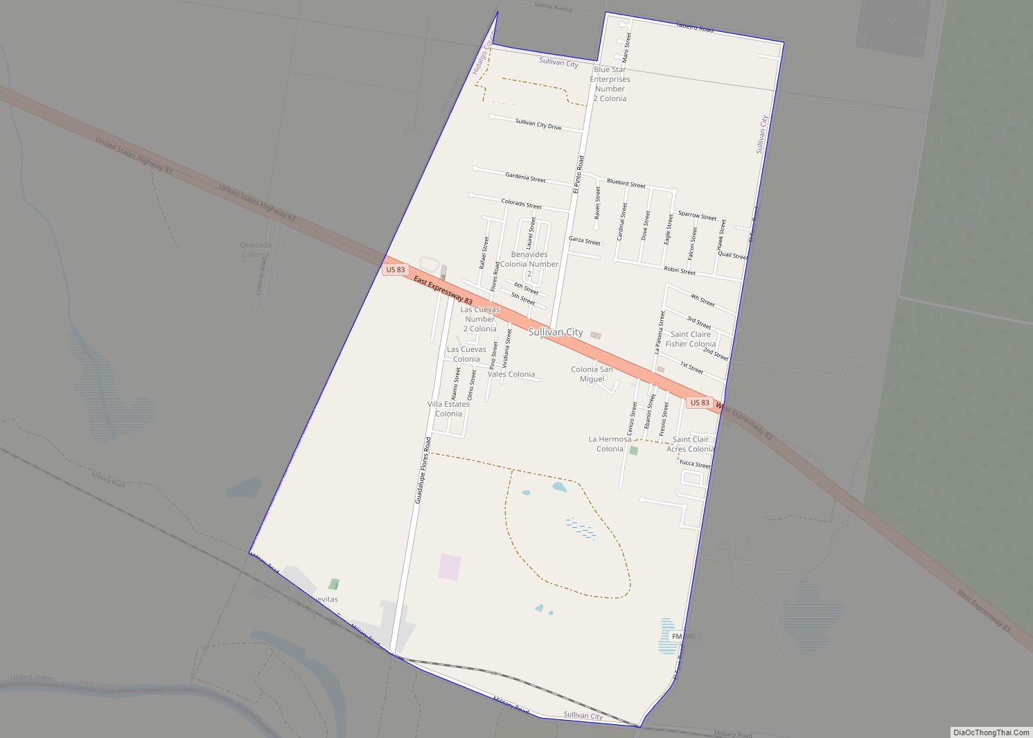
Sullivan City is a city in Hidalgo County, Texas. The population was 4,002 at the 2010 United States Census. It is part of the McAllen–Edinburg–Mission and Reynosa–McAllen metropolitan areas. Sullivan City city overview: Name: Sullivan City city LSAD Code: 25 LSAD Description: city (suffix) State: Texas County: Hidalgo County Elevation: 200 ft (61 m) Total Area: 3.59 sq mi ... Read more
Texas Cities and Places
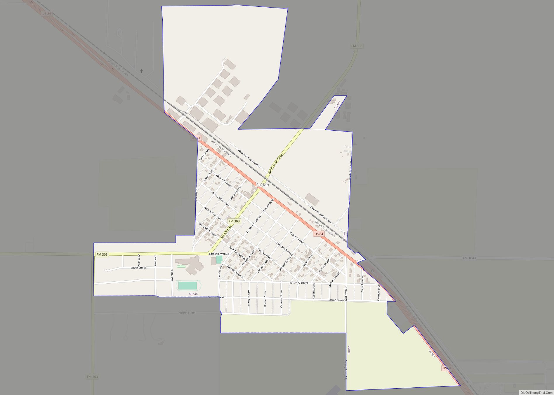
Sudan is a city in Lamb County in Texas, United States. Its population was 958 at the 2010 census. Sudan city overview: Name: Sudan city LSAD Code: 25 LSAD Description: city (suffix) State: Texas County: Lamb County Elevation: 3,757 ft (1,145 m) Total Area: 1.02 sq mi (2.65 km²) Land Area: 1.02 sq mi (2.65 km²) Water Area: 0.00 sq mi (0.00 km²) Total Population: 958 ... Read more
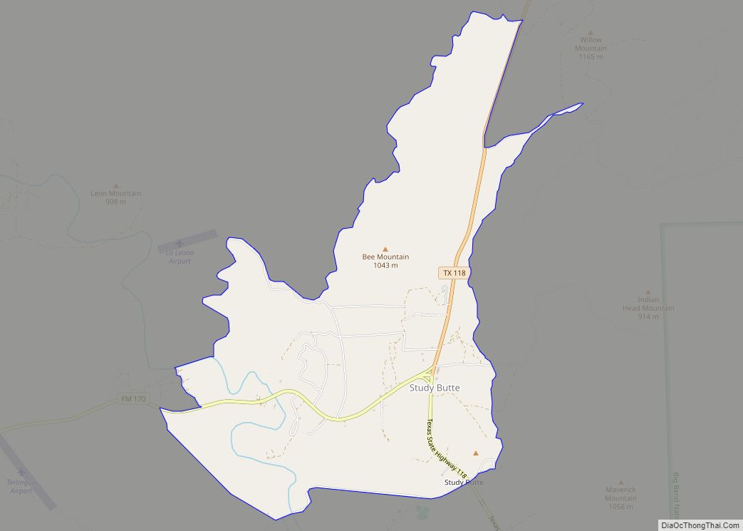
Study Butte (/ˈstjuːdi ˌbjuːt/ STEW-dee BEWT) is a census-designated place (CDP) in Brewster County, Texas, United States. The population was 233 at the 2010 census. At the 2000 census, the area was part of the Study Butte-Terlingua CDP. Study Butte CDP overview: Name: Study Butte CDP LSAD Code: 57 LSAD Description: CDP (suffix) State: Texas ... Read more
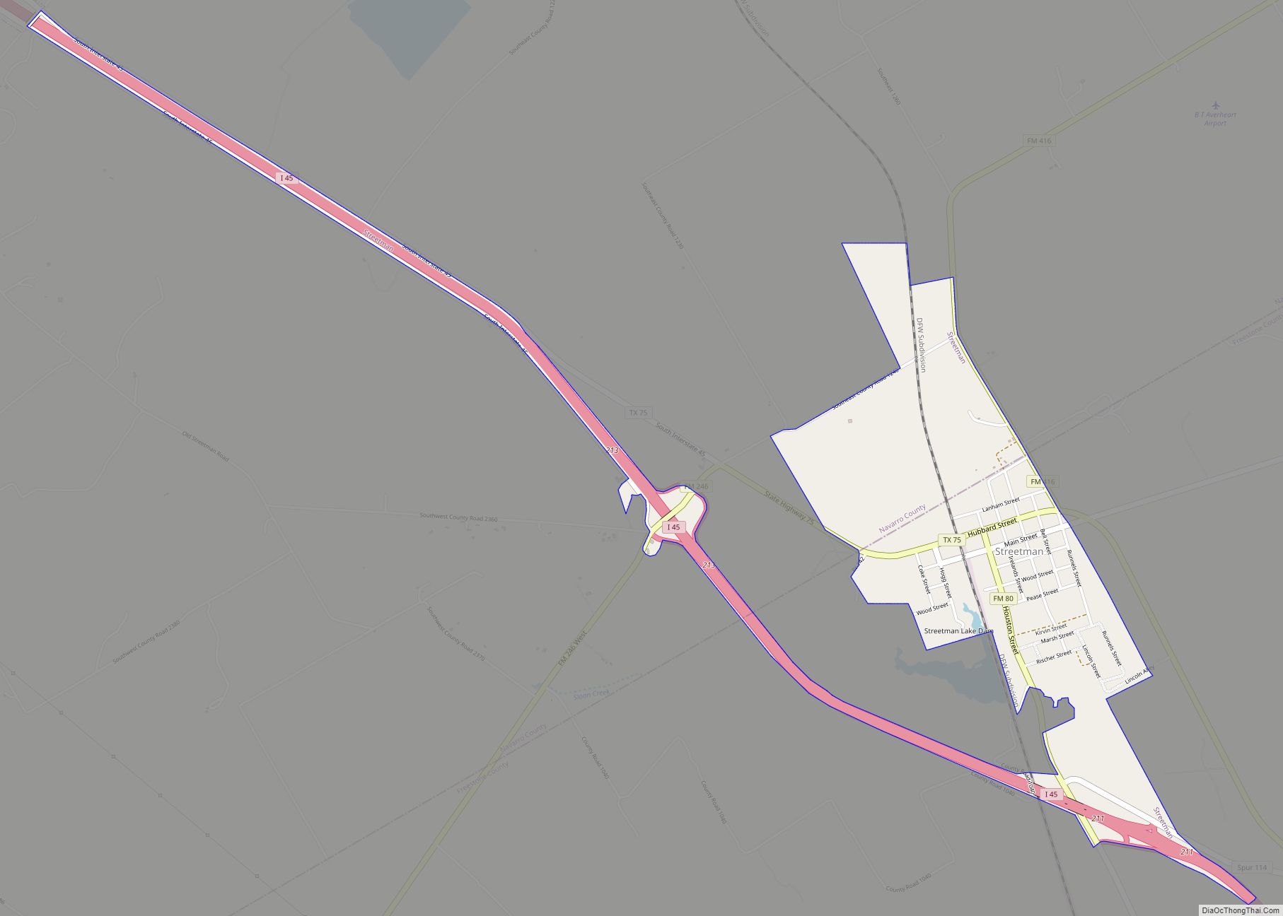
Streetman is a town in Freestone and Navarro counties in Texas, United States. As of the 2010 census the population was 247, up from 203 at the 2000 census. Streetman town overview: Name: Streetman town LSAD Code: 43 LSAD Description: town (suffix) State: Texas County: Freestone County, Navarro County Elevation: 371 ft (113 m) Total Area: 1.41 sq mi ... Read more
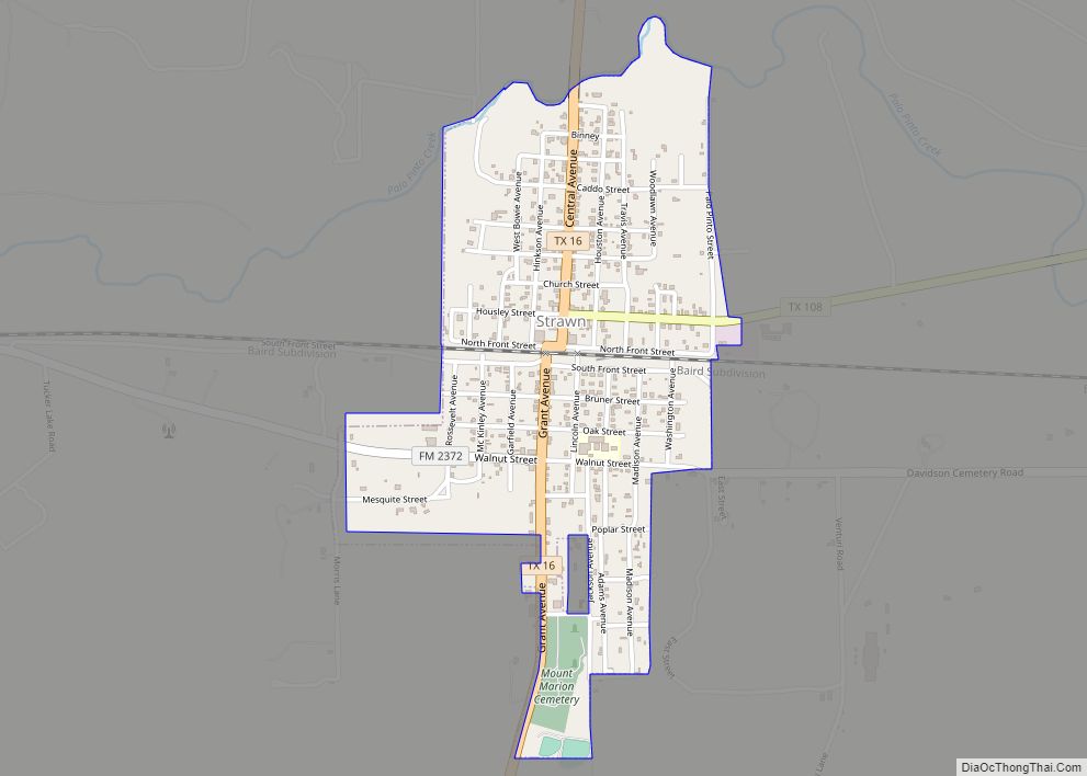
Strawn is a city in Palo Pinto County, Texas, United States. The population was 653 at the 2010 census. Strawn, on State highways 16 and 108, Farm Road 2372, and the Missouri Pacific Railroad in southwestern Palo Pinto County, was one of several towns developed about 1880 when the Texas and Pacific Railway began service. ... Read more
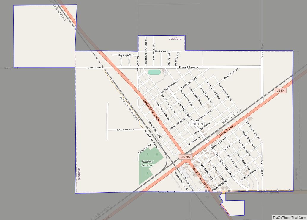
Stratford is a town in Sherman County, Texas, United States. The population was 2,017 at the 2010 census, up from 1,991 in 2000. It is the county seat of Sherman County. Stratford city overview: Name: Stratford city LSAD Code: 25 LSAD Description: city (suffix) State: Texas County: Sherman County Elevation: 3,691 ft (1,125 m) Total Area: 2.31 sq mi ... Read more
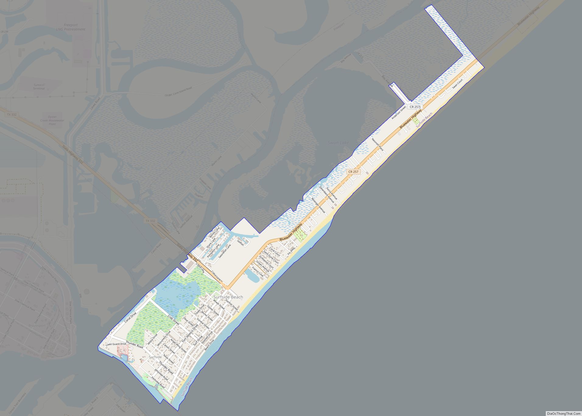
Surfside Beach, also known locally as Surfside, is a city in Brazoria County, Texas, United States, that is situated on Follet’s Island by the Gulf of Mexico near the city of Freeport. The population was 482 at the 2010 census. The city has claimed the “Cradle of Texas Liberty” title due to the fact that ... Read more
Sunset is a census-designated place (CDP) in Starr County, Texas, United States. It is a new CDP formed from part of the Fronton CDP prior to the 2010 census with a population of 47. Sunset CDP overview: Name: Sunset CDP LSAD Code: 57 LSAD Description: CDP (suffix) State: Texas County: Starr County Total Area: 47 ... Read more
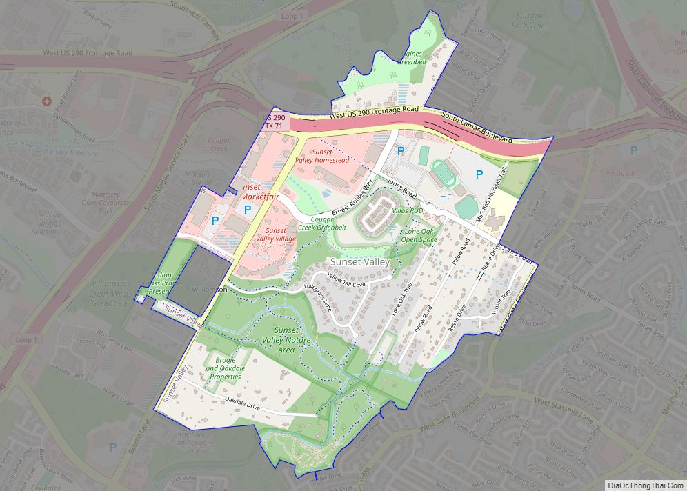
Sunset Valley is a city in Travis County, Texas. The population was 749 at the time of the 2010 census. An enclave, it is surrounded on all sides by the city of Austin. Sunset Valley city overview: Name: Sunset Valley city LSAD Code: 25 LSAD Description: city (suffix) State: Texas County: Travis County Elevation: 666 ft ... Read more
Sunset Acres is a census-designated place (CDP) in Webb County, Texas, United States. This was a new CDP formed from parts of the Botines CDP prior to the 2010 census with a population of 23. It is one of several colonias in the county. Sunset Acres CDP overview: Name: Sunset Acres CDP LSAD Code: 57 ... Read more
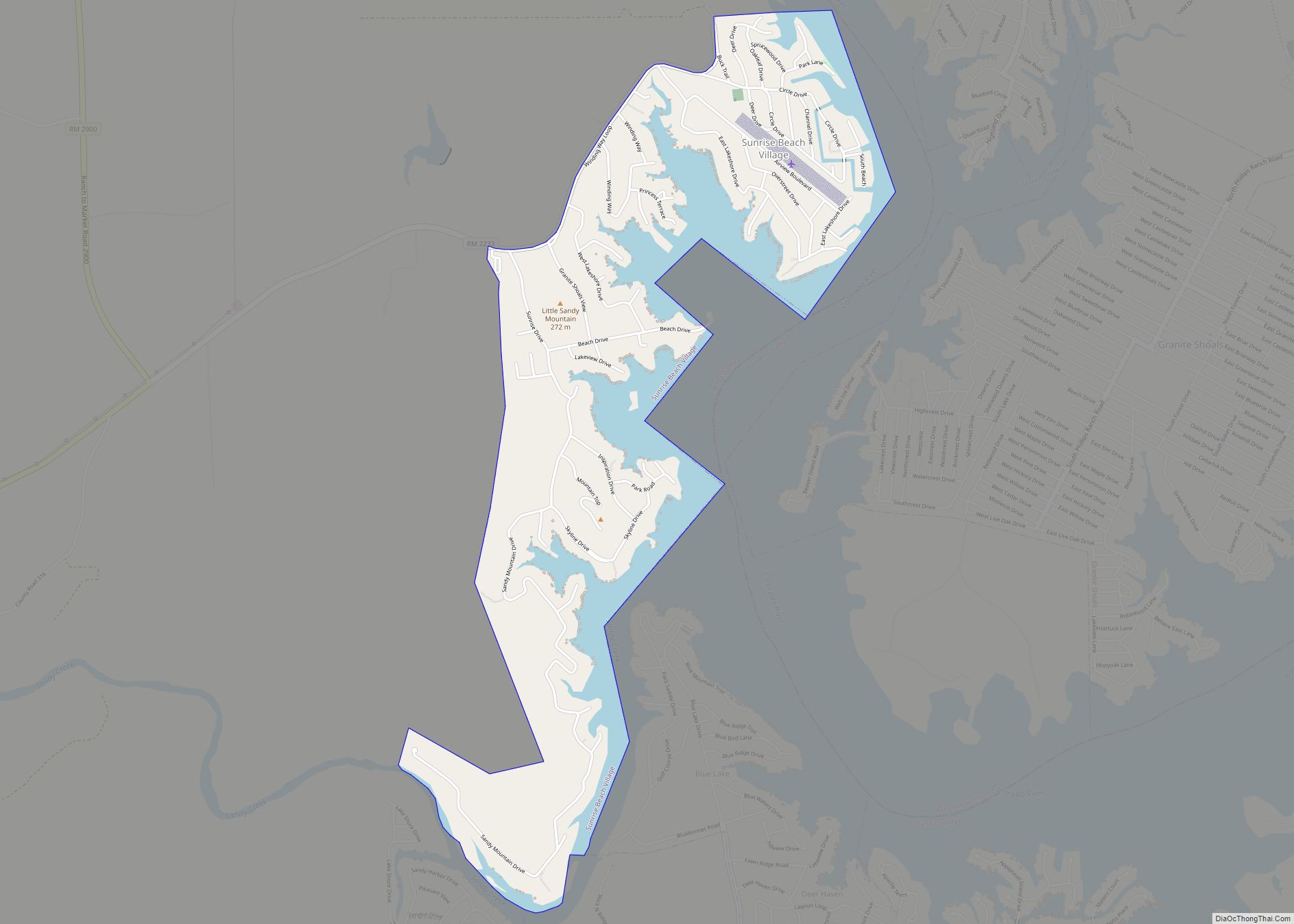
Sunrise Beach Village is a city in Llano County, Texas, United States. The village was established in 1973. The population was 713 at the 2010 census. Sunrise Beach Village city overview: Name: Sunrise Beach Village city LSAD Code: 25 LSAD Description: city (suffix) State: Texas County: Llano County Elevation: 850 ft (259 m) Total Area: 2.29 sq mi (5.94 km²) ... Read more
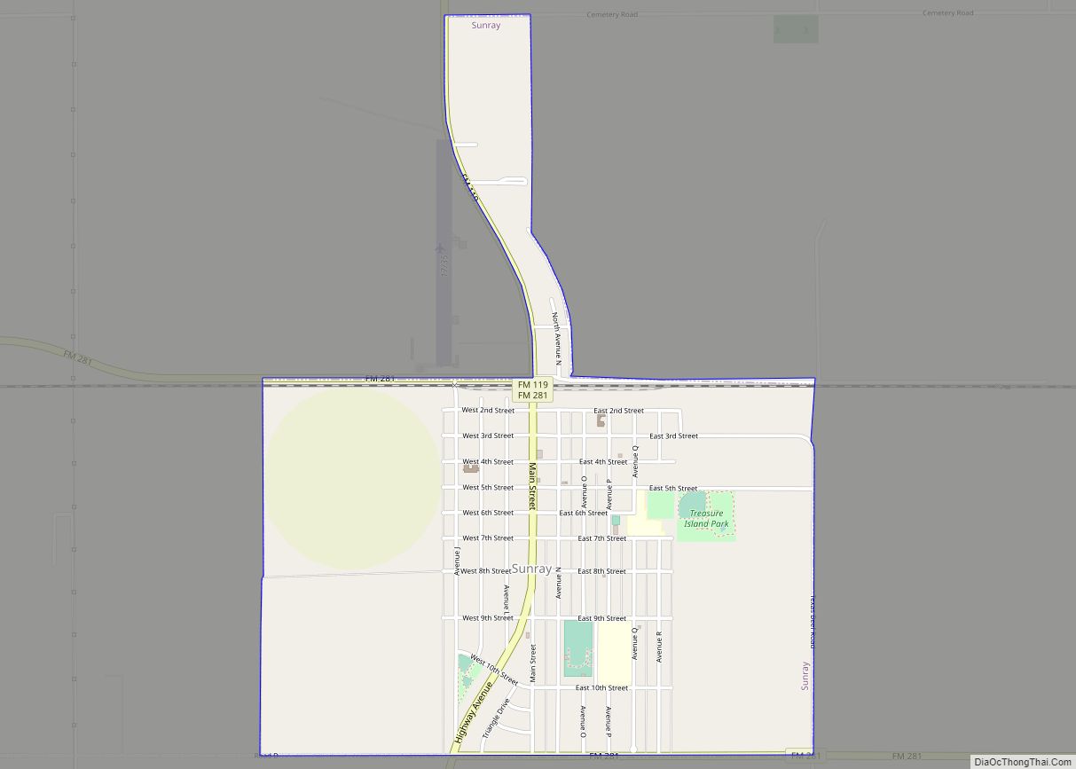
Sunray is a city in northeast Moore County, Texas, United States. The population was 1,926 at the 2010 census. Sunray city overview: Name: Sunray city LSAD Code: 25 LSAD Description: city (suffix) State: Texas County: Moore County Elevation: 3,507 ft (1,069 m) Total Area: 1.71 sq mi (4.42 km²) Land Area: 1.71 sq mi (4.42 km²) Water Area: 0.00 sq mi (0.00 km²) Total Population: 1,926 ... Read more
