Map of Sweeny city
Sweeny is a city in Brazoria County, Texas, United States, the westernmost incorporated town in the county. The population is 3,626 as of 2020. The city’s motto is “A City with Pride”. The city was once known as Adamston. Sweeny city overview: Name: Sweeny city LSAD Code: 25 LSAD Description: city (suffix) State: Texas County: ... Read more
Map of Sweeny city
Map of Surfside Beach city, Texas
Surfside Beach, also known locally as Surfside, is a city in Brazoria County, Texas, United States, that is situated on Follet’s Island by the Gulf of Mexico near the city of Freeport. The population was 482 at the 2010 census. The city has claimed the “Cradle of Texas Liberty” title due to the fact that ... Read more
Map of Surfside Beach city, Texas
Map of Sunset CDP, Texas
Sunset is a census-designated place (CDP) in Starr County, Texas, United States. It is a new CDP formed from part of the Fronton CDP prior to the 2010 census with a population of 47. Sunset CDP overview: Name: Sunset CDP LSAD Code: 57 LSAD Description: CDP (suffix) State: Texas County: Starr County Total Area: 47 ... Read more
Map of Sunset CDP, Texas
Map of Sunset Valley city
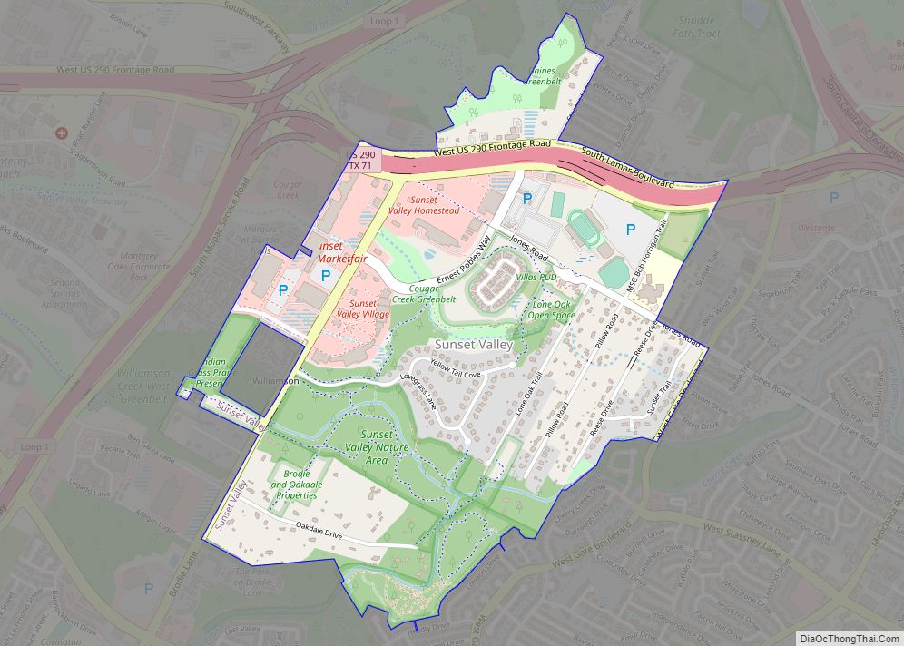
Sunset Valley is a city in Travis County, Texas. The population was 749 at the time of the 2010 census. An enclave, it is surrounded on all sides by the city of Austin. Sunset Valley city overview: Name: Sunset Valley city LSAD Code: 25 LSAD Description: city (suffix) State: Texas County: Travis County Elevation: 666 ft ... Read more
Map of Sunset Valley city
Map of Taylor city, Texas
Taylor is a city in Williamson County, Texas, United States. The population was 13,575 at the 2000 census; it was 15,191 at the 2010 census; it was 16,267 at the 2020 census. Taylor city overview: Name: Taylor city LSAD Code: 25 LSAD Description: city (suffix) State: Texas County: Williamson County Elevation: 564 ft (172 m) Total Area: ... Read more
Map of Taylor city, Texas
Map of Taylor Landing city
Taylor Landing is a city in Jefferson County, Texas, United States. It had a population of 228 at the 2010 census. The city, formerly part of Port Arthur‘s extraterritorial jurisdiction, voted to incorporate in an election held on September 10, 2005. A total of 124 votes were cast, 80 (64.5%) in favor of incorporation and ... Read more
Map of Taylor Landing city
Map of Taylor Lake Village city
Taylor Lake Village is a city in Harris County in the U.S. state of Texas. The population was 3,704 at the 2020 U.S. census. Taylor Lake Village city overview: Name: Taylor Lake Village city LSAD Code: 25 LSAD Description: city (suffix) State: Texas County: Harris County Elevation: 3 ft (1 m) Total Area: 1.31 sq mi (3.39 km²) Land Area: ... Read more
Map of Taylor Lake Village city
Map of Tatum city, Texas
Tatum is a city in Panola and Rusk counties in the U.S. state of Texas. The population was 1,342 at the 2020 census. Tatum city overview: Name: Tatum city LSAD Code: 25 LSAD Description: city (suffix) State: Texas County: Panola County, Rusk County Elevation: 338 ft (103 m) Total Area: 3.78 sq mi (9.80 km²) Land Area: 3.78 sq mi (9.80 km²) Water ... Read more
Map of Tatum city, Texas
Map of Tanquecitos South Acres CDP
Tanquecitos South Acres is a census-designated place (CDP) in Webb County, Texas, United States. This was a new CDP formed from parts of the Laredo Ranchettes CDP prior to the 2010 census with a population of 233. It is one of several colonias in the county. Tanquecitos South Acres CDP overview: Name: Tanquecitos South Acres ... Read more
Map of Tanquecitos South Acres CDP
Map of Tanquecitos South Acres II CDP
Tanquecitos South Acres II is a census-designated place (CDP) in Webb County, Texas, United States. This was a new CDP formed from parts of the Laredo Ranchettes CDP prior to the 2010 census with a population of 50. It is one of several colonias in the county. Tanquecitos South Acres II CDP overview: Name: Tanquecitos ... Read more
Map of Tanquecitos South Acres II CDP
Map of Talty town
Talty is a city in Kaufman County, Texas, United States. Its population was 1,535 at the 2010 census, and in 2019 the estimated population was 2,760. Incorporated on May 1, 1999, as the Town of Talty, the name was formally changed to City of Talty in 2015. Don Willett, a judge on the United States ... Read more
Map of Talty town
Map of Talco city
Talco is a town in Titus County, Texas, United States. The population was 516 at the 2010 census. The name is derived from a local candy bar (It was either a shelf carton or because the local people said it was “Texas-Arkansas-Louisiana Country hence Talco). Also reports said it may have been a local company ... Read more
Map of Talco city