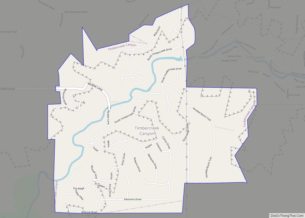
Timbercreek Canyon is a village in Randall County, Texas, United States. As of the 2010 census, the village population was 418. It is part of the Amarillo, Texas Metropolitan Statistical Area. Timbercreek Canyon village overview: Name: Timbercreek Canyon village LSAD Code: 47 LSAD Description: village (suffix) State: Texas County: Randall County Elevation: 3,451 ft (1,052 m) Total ... Read more
Texas Cities and Places
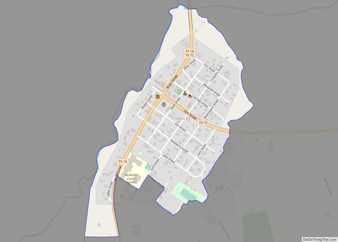
Tilden is a Census-designated place (CDP) and county seat of McMullen County, Texas, United States. Tilden lies at the intersection of State Highways 16 and 72 in the north central part of the county. It is located roughly an hour south of San Antonio. Tilden CDP overview: Name: Tilden CDP LSAD Code: 57 LSAD Description: ... Read more
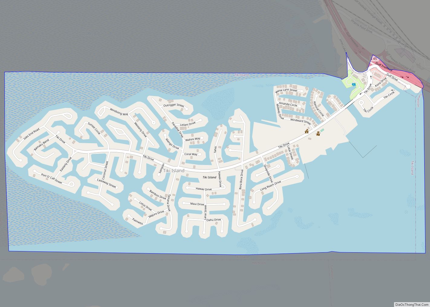
Tiki Island is a village in Galveston County, Texas, United States. The population was 968 at the 2010 census. Tiki Island village overview: Name: Tiki Island village LSAD Code: 47 LSAD Description: village (suffix) State: Texas County: Galveston County Elevation: 0 ft (0 m) Total Area: 1.59 sq mi (4.12 km²) Land Area: 0.48 sq mi (1.23 km²) Water Area: 1.11 sq mi (2.89 km²) Total ... Read more
Tierra Verde is a census-designated place (CDP) in Nueces County, Texas, United States. Its population was 277 at the 2010 census. Prior to the census, it was part of the Spring Garden-Terra Verde CDP. Tierra Verde CDP overview: Name: Tierra Verde CDP LSAD Code: 57 LSAD Description: CDP (suffix) State: Texas County: Nueces County Total ... Read more
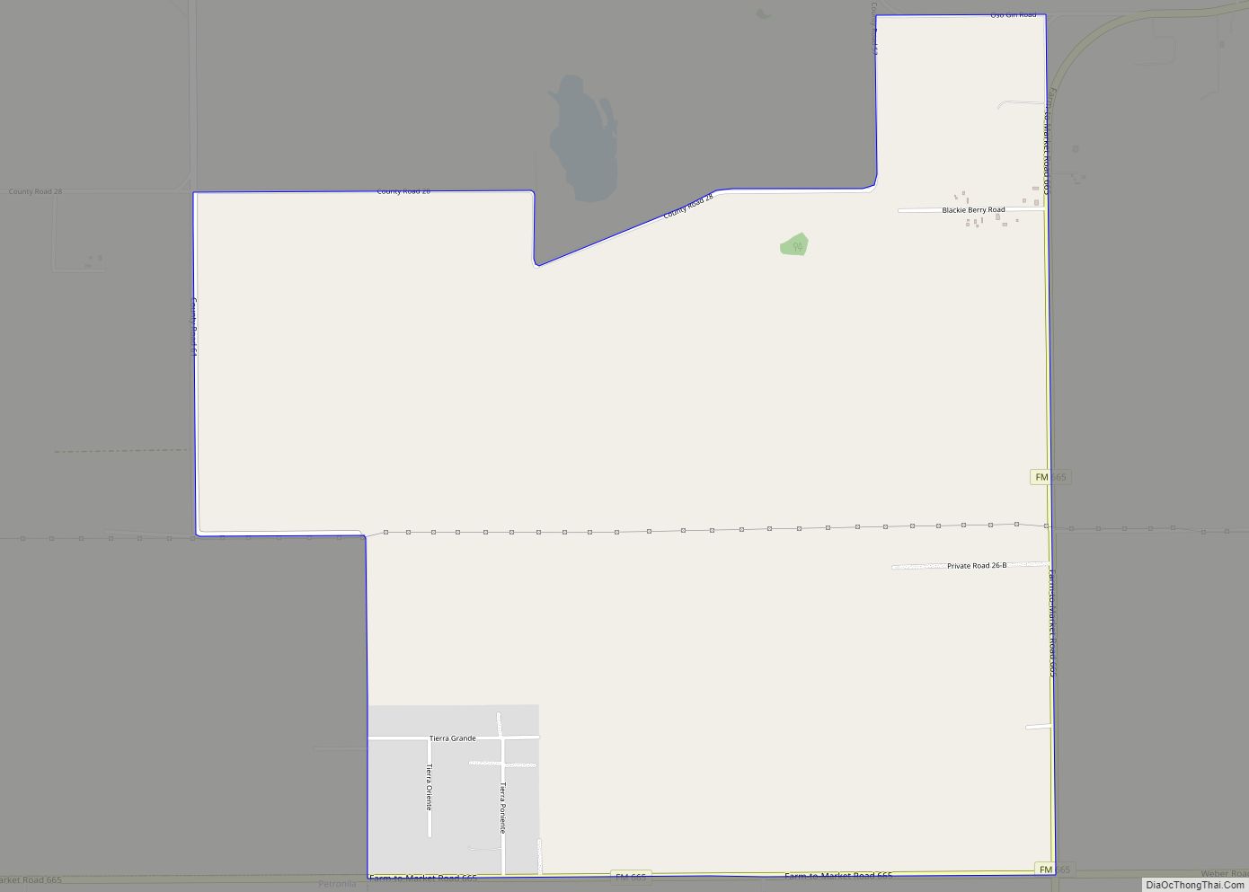
Tierra Grande is a census-designated place (CDP) in Nueces County, Texas, United States. The population was 403 at the 2010 census, up from 362 in 2000. Tierra Grande CDP overview: Name: Tierra Grande CDP LSAD Code: 57 LSAD Description: CDP (suffix) State: Texas County: Nueces County Elevation: 56 ft (17 m) Total Area: 4.7 sq mi (12.2 km²) Land Area: ... Read more
Tierra Dorada is a census-designated place (CDP) in Starr County, Texas, United States. It is a new CDP formed from part of the La Rosita CDP prior to the 2010 census with a population of 28. Tierra Dorada CDP overview: Name: Tierra Dorada CDP LSAD Code: 57 LSAD Description: CDP (suffix) State: Texas County: Starr ... Read more
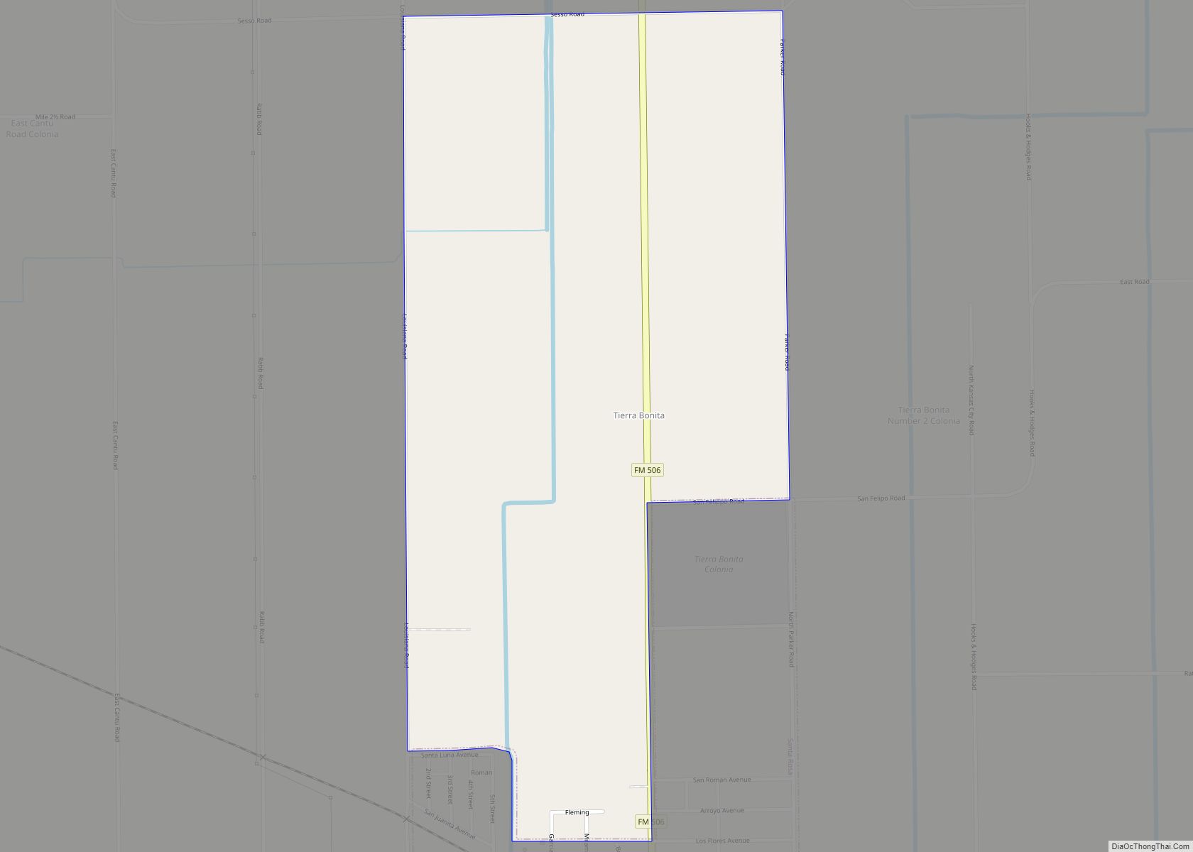
Tierra Bonita is a census-designated place (CDP) in Cameron County, Texas, United States. The population was 141 at the 2010 census. It is part of the Brownsville–Harlingen Metropolitan Statistical Area. Tierra Bonita CDP overview: Name: Tierra Bonita CDP LSAD Code: 57 LSAD Description: CDP (suffix) State: Texas County: Cameron County Elevation: 46 ft (14 m) Total Area: ... Read more
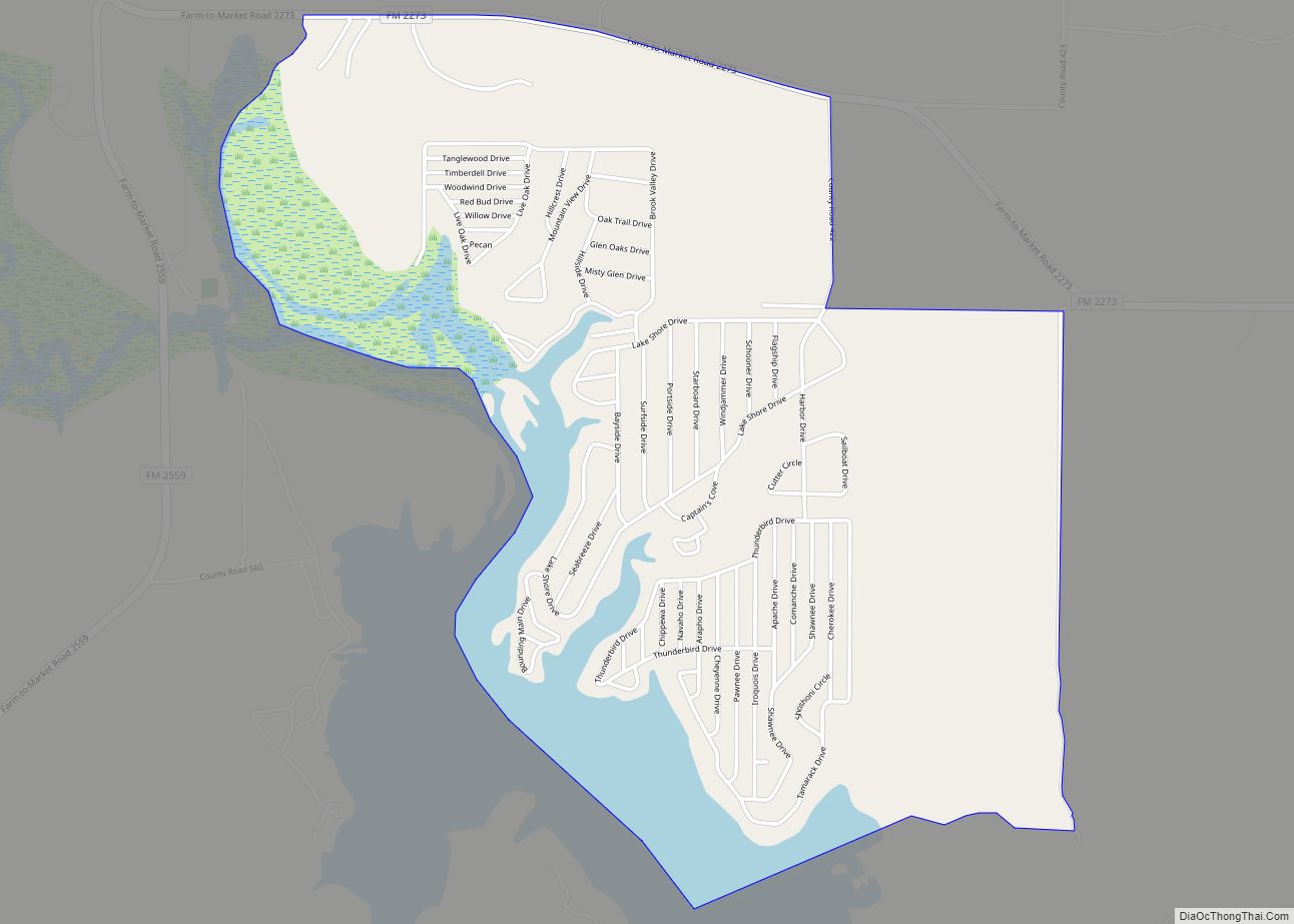
Thunderbird Bay is a census-designated place (CDP) in Brown County in central Texas, United States. The population was 663 at the 2010 census. Thunderbird Bay CDP overview: Name: Thunderbird Bay CDP LSAD Code: 57 LSAD Description: CDP (suffix) State: Texas County: Brown County Elevation: 1,460 ft (450 m) Total Area: 2.9 sq mi (7.6 km²) Land Area: 2.5 sq mi (6.6 km²) Water ... Read more
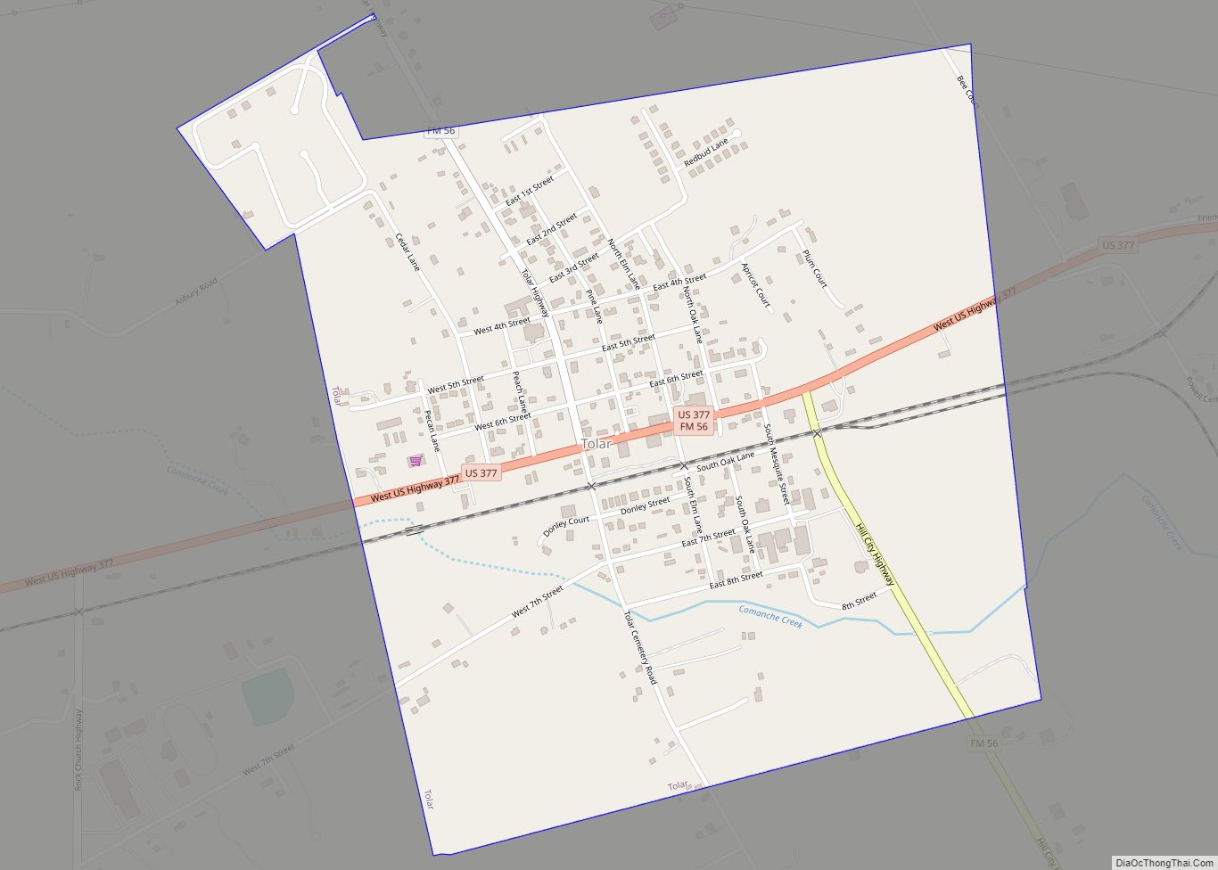
Tolar is a city in Hood County, Texas, United States. Its population was 681 at the 2010 census. It is part of the Granbury, Texas micropolitan statistical area. Tolar city overview: Name: Tolar city LSAD Code: 25 LSAD Description: city (suffix) State: Texas County: Hood County Elevation: 1,020 ft (311 m) Total Area: 0.94 sq mi (2.43 km²) Land Area: ... Read more
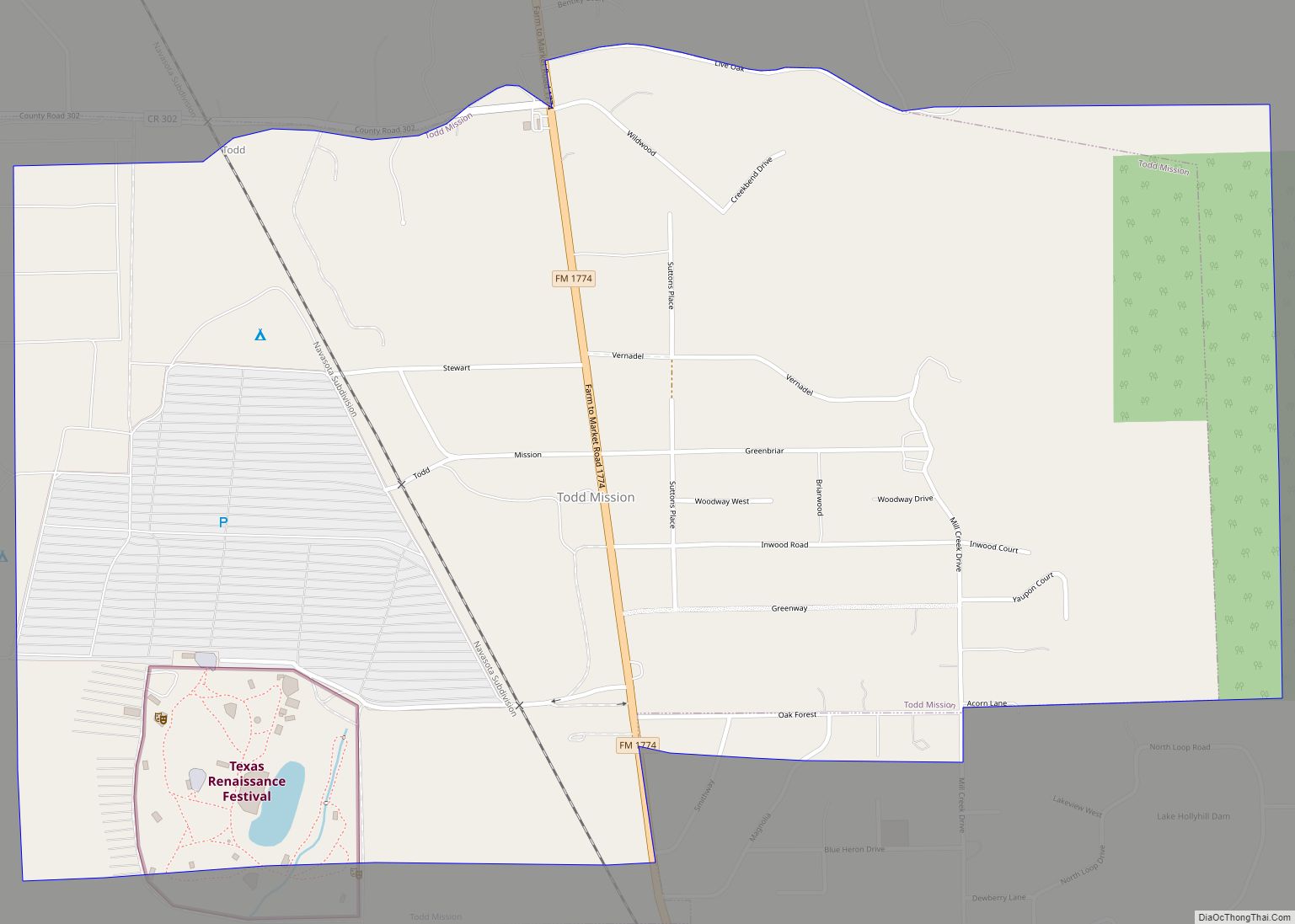
Todd Mission is a city in Grimes County, Texas, United States. It lies on Farm Road 1774, fifty miles (80 km) northwest of Houston. The population was 107 as of the 2010 census, down from 146 at the 2000 census. The city is home to the Texas Renaissance Festival. Todd Mission city overview: Name: Todd Mission ... Read more
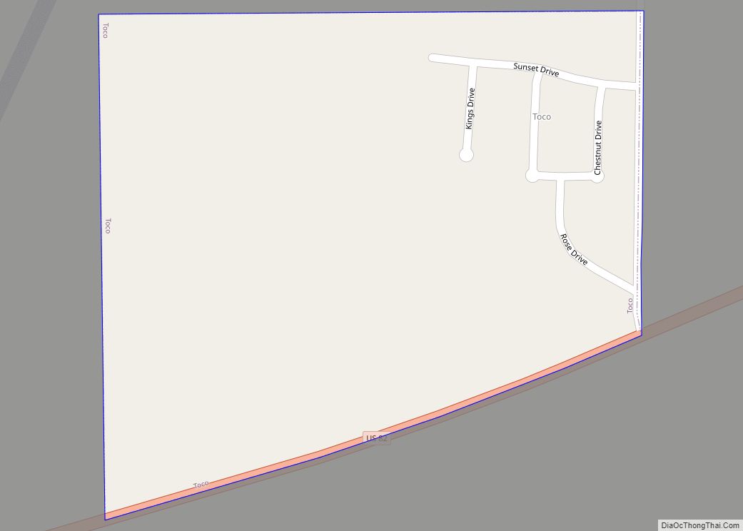
Toco is a city in Lamar County, Texas, United States. The population was 75 at the 2010 census, and 91 in 2020. Toco city overview: Name: Toco city LSAD Code: 25 LSAD Description: city (suffix) State: Texas County: Lamar County Elevation: 568 ft (173 m) Total Area: 0.17 sq mi (0.44 km²) Land Area: 0.17 sq mi (0.44 km²) Water Area: 0.00 sq mi (0.00 km²) ... Read more
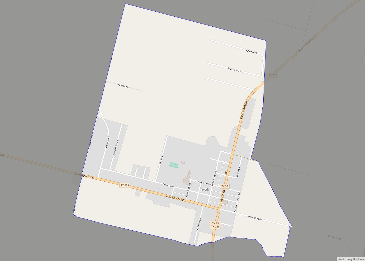
Tivoli is a census-designated place and unincorporated community in Refugio County, Texas, United States. It takes its name from the town of Tivoli in the Lazio region of central Italy. This was a new CDP for the 2010 census with a population of 479. Tivoli CDP overview: Name: Tivoli CDP LSAD Code: 57 LSAD Description: ... Read more
