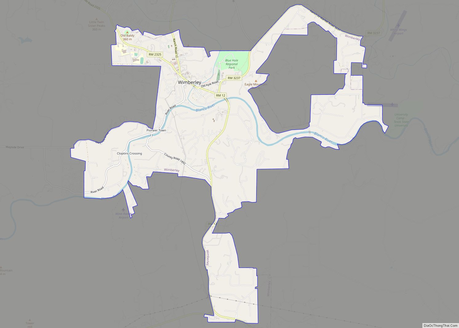
Wimberley is a village in Hays County, Texas, United States. It is still predominantly a ranching area outside of town. The population was 2,839 at the 2020 census. Wimberley city overview: Name: Wimberley city LSAD Code: 25 LSAD Description: city (suffix) State: Texas County: Hays County Elevation: 860 ft (262 m) Total Area: 8.96 sq mi (23.19 km²) Land Area: ... Read more
Texas Cities and Places
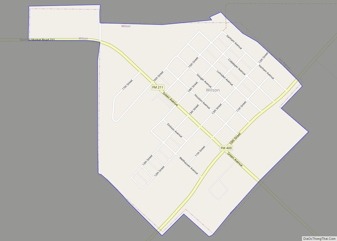
Wilson is a small rural city in the northeastern quadrant of Lynn County, Texas, United States. As of the 2010 census, the population was 489. Wilson city overview: Name: Wilson city LSAD Code: 25 LSAD Description: city (suffix) State: Texas County: Lynn County Elevation: 3,120 ft (950 m) Total Area: 0.65 sq mi (1.67 km²) Land Area: 0.64 sq mi (1.67 km²) Total ... Read more
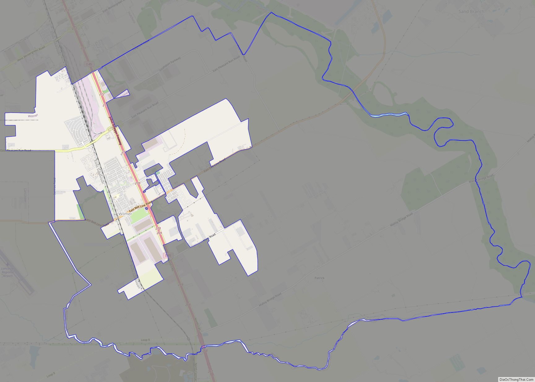
Wilmer is a city in Dallas County, Texas, United States. The population was 3,682 at the 2010 census. It is part of the Dallas–Fort Worth–Arlington Metropolitan Statistical Area. Wilmer city overview: Name: Wilmer city LSAD Code: 25 LSAD Description: city (suffix) State: Texas County: Dallas County Elevation: 466 ft (142 m) Total Area: 6.40 sq mi (16.57 km²) Land Area: ... Read more
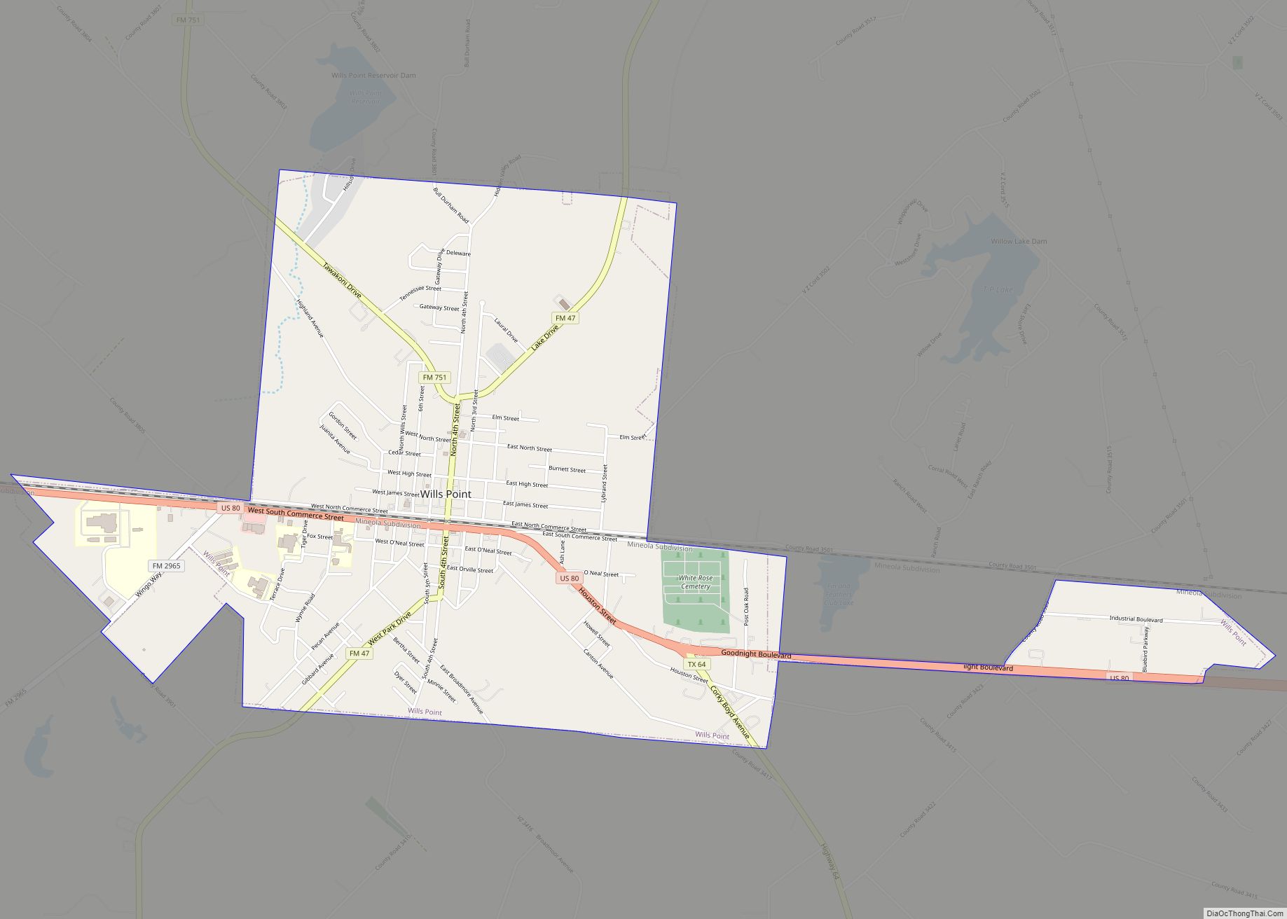
Wills Point is a city in Van Zandt County, Texas, United States. The population was 3,524 at the 2010 census. Wills Point city overview: Name: Wills Point city LSAD Code: 25 LSAD Description: city (suffix) State: Texas County: Van Zandt County Elevation: 531 ft (162 m) Total Area: 3.68 sq mi (9.53 km²) Land Area: 3.67 sq mi (9.49 km²) Water Area: 0.02 sq mi ... Read more
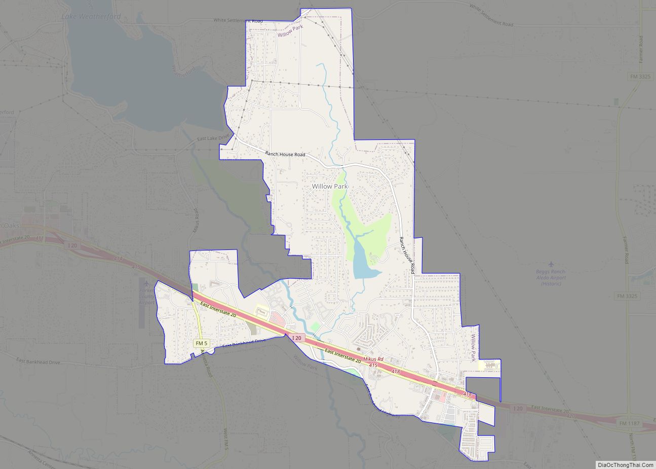
Willow Park is a city in Parker County, Texas, United States. The population was 4,936 in 2020. Willow Park was the location of Trinity Meadows Race Track, one of the first horse racing tracks opened once Texas legalized parimutuel betting. However, it was never seriously considered for upgrade to first-class status, and once Lone Star ... Read more
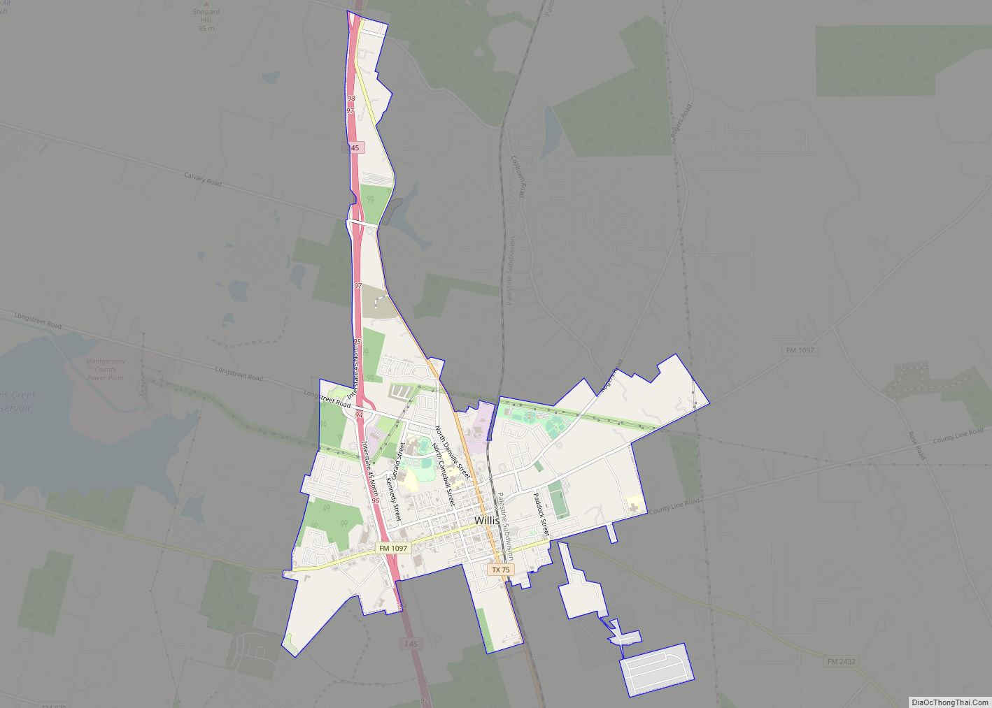
Willis is a city in Montgomery County, Texas, United States, located eight miles north of Conroe in north central Montgomery County. The city began to develop in 1870 after what is now the Union Pacific Railroad built track through the area. As a part of the Piney Woods, the Willis economy has historically been driven ... Read more
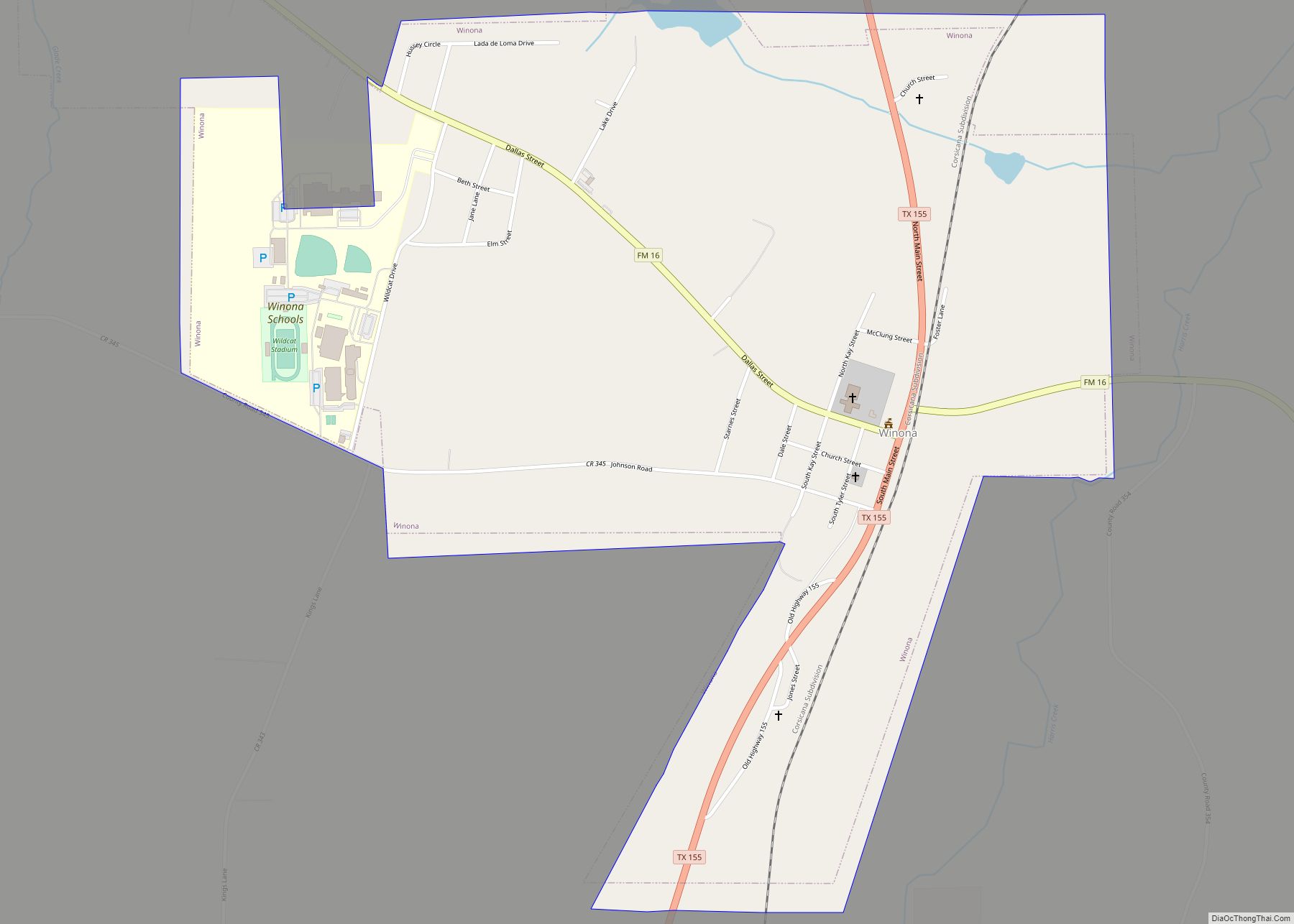
Winona is a city in Smith County, Texas, United States. Founded in 1870, its population was 623 at the 2020 U.S. census, up from 576 in 2010. It is part of the Tyler metropolitan statistical area. Winona town overview: Name: Winona town LSAD Code: 43 LSAD Description: town (suffix) State: Texas County: Smith County Elevation: ... Read more
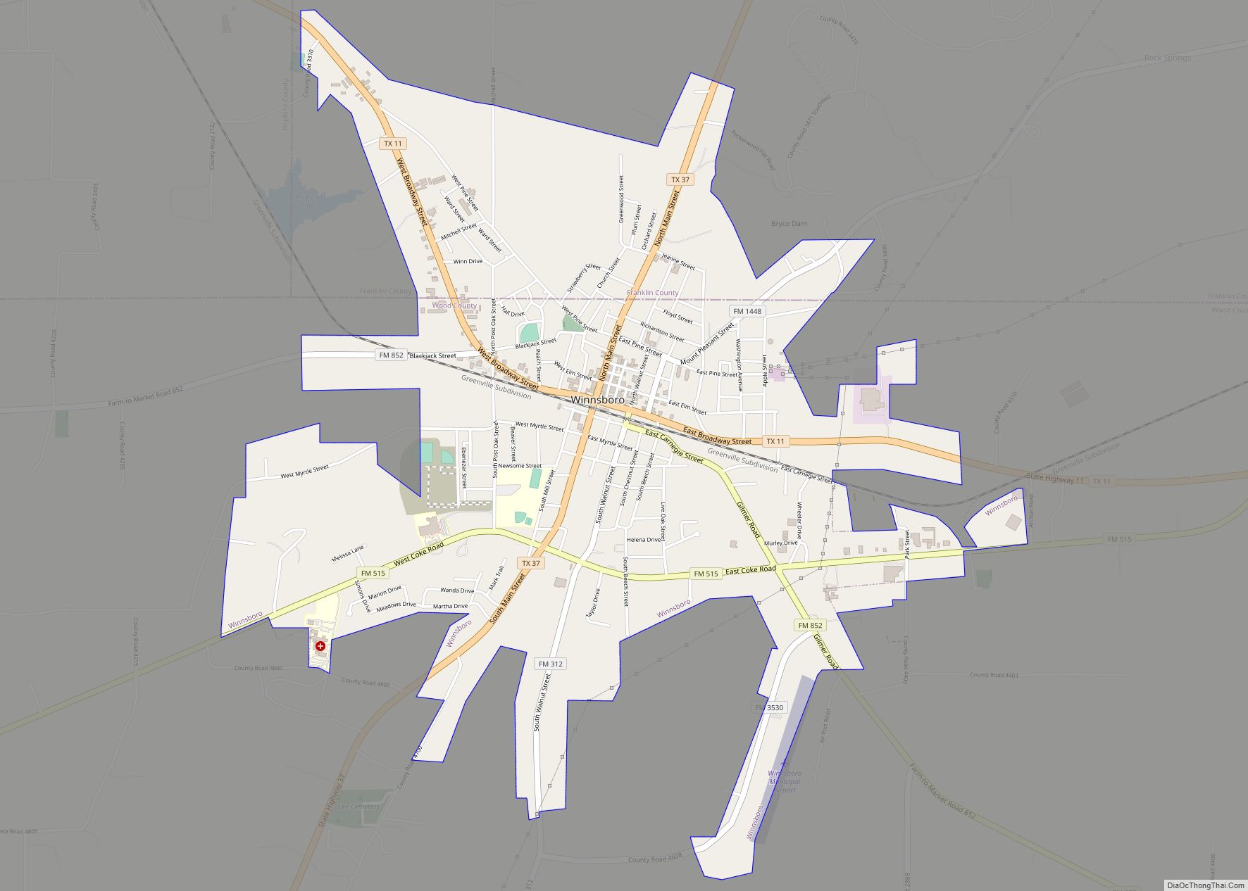
Winnsboro is a city in Franklin and Wood counties in northeastern Texas, United States, north of Tyler. The population was 3,434 at the 2010 census, down from 3,584 at the 2000 census. Settlement of Winnsboro began in the 1850s with a post office established between 1854 and 1855. Winnsboro city overview: Name: Winnsboro city LSAD ... Read more
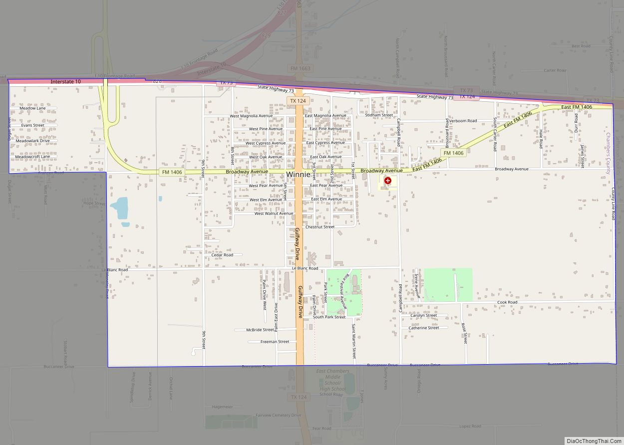
Winnie is a census-designated place (CDP) in Chambers County, Texas, United States. The population was 3,162 at the 2020 census. Winnie CDP overview: Name: Winnie CDP LSAD Code: 57 LSAD Description: CDP (suffix) State: Texas County: Chambers County Elevation: 26 ft (8 m) Total Area: 4.0 sq mi (10.3 km²) Land Area: 4.0 sq mi (10.3 km²) Water Area: 0.0 sq mi (0.0 km²) Total Population: ... Read more
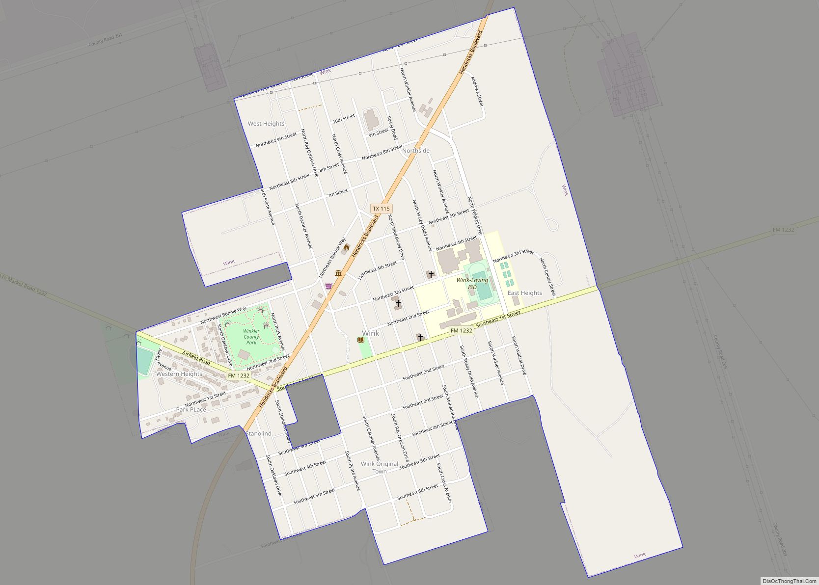
Wink is a city in Winkler County, Texas, United States. The population was 940 at the 2010 census. Wink was a temporary childhood home to singer and songwriter Roy Orbison, although he was born in Vernon, Texas. Orbison later described the major components of life in Wink as “football, oil fields, oil, grease and sand”, ... Read more
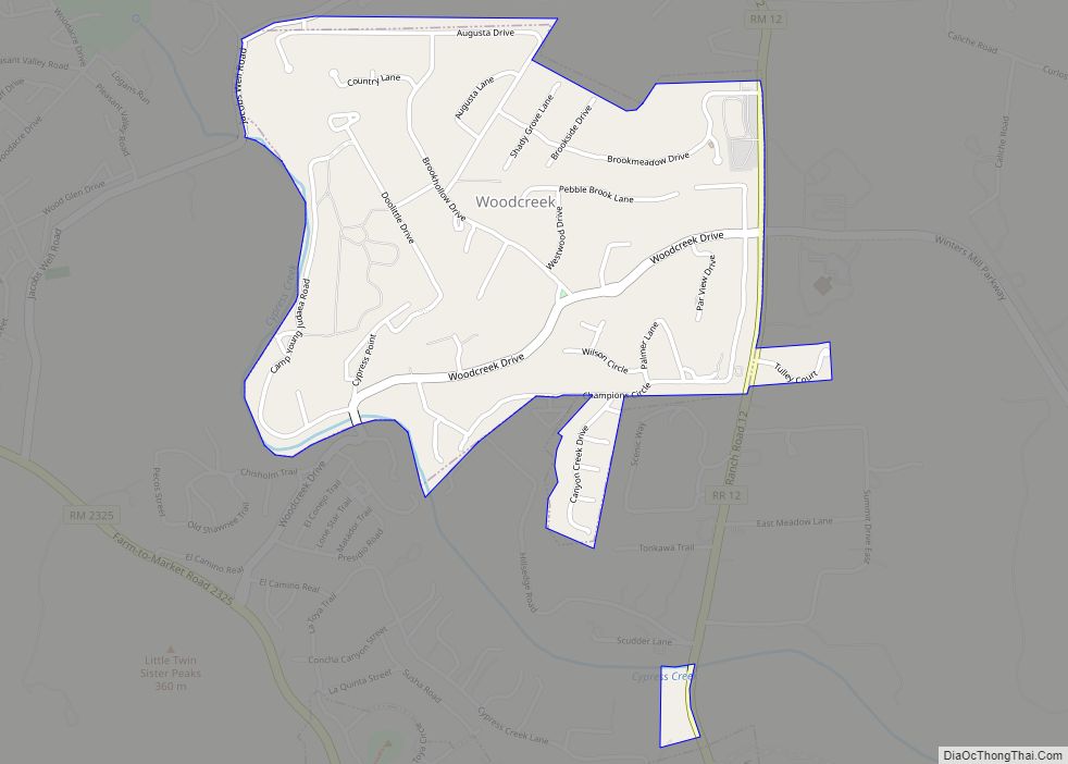
Woodcreek is a city in Hays County, Texas, United States. Like its neighbor of Wimberley, Woodcreek is a primarily a retirement community. The population was 1,457 at the 2010 census. Woodcreek city overview: Name: Woodcreek city LSAD Code: 25 LSAD Description: city (suffix) State: Texas County: Hays County Elevation: 961 ft (293 m) Total Area: 1.09 sq mi (2.81 km²) ... Read more
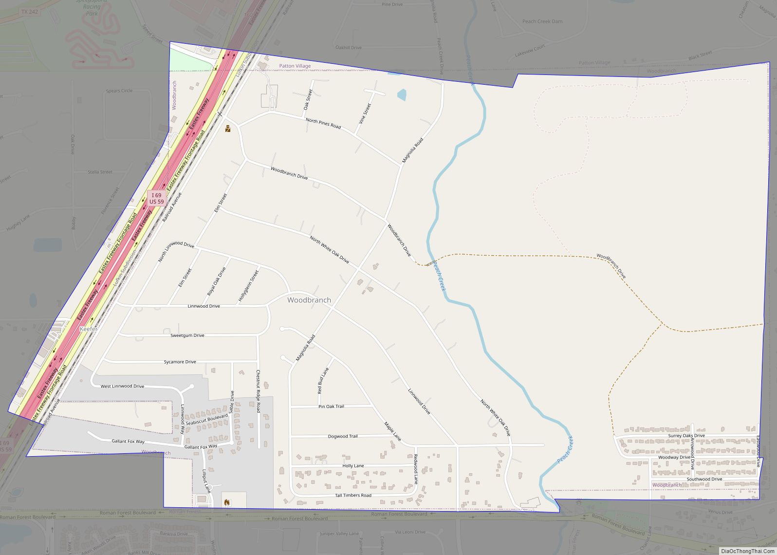
Woodbranch Village, also known simply as “Woodbranch,” is a city in Montgomery County, Texas, United States. The population was 1,330 at the 2020 census. Woodbranch city overview: Name: Woodbranch city LSAD Code: 25 LSAD Description: city (suffix) State: Texas County: Montgomery County Incorporated: 1967 Elevation: 95 ft (29 m) Total Area: 2.01 sq mi (5.20 km²) Land Area: 2.01 sq mi (5.20 km²) ... Read more
