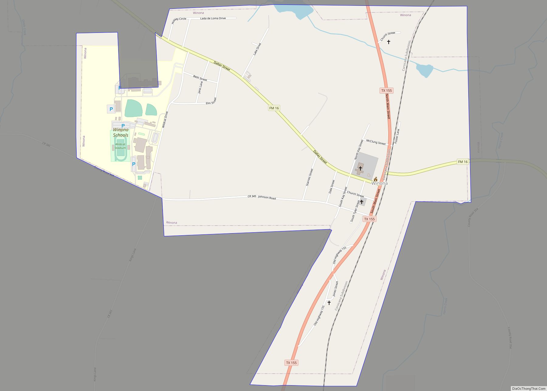
Map of Woodcreek city

Map of Woodcreek city

Woodcreek is a city in Hays County, Texas, United States. Like its neighbor of Wimberley, Woodcreek is a primarily a retirement community. The population was 1,457 at the 2010 census. Woodcreek city overview: Name: Woodcreek city LSAD Code: 25 LSAD Description: city (suffix) State: Texas County: Hays County Elevation: 961 ft (293 m) Total Area: 1.09 sq mi (2.81 km²) … Read more

Map of Woodbranch city

Map of Woodbranch city

Woodbranch Village, also known simply as “Woodbranch,” is a city in Montgomery County, Texas, United States. The population was 1,330 at the 2020 census. Woodbranch city overview: Name: Woodbranch city LSAD Code: 25 LSAD Description: city (suffix) State: Texas County: Montgomery County Incorporated: 1967 Elevation: 95 ft (29 m) Total Area: 2.01 sq mi (5.20 km²) Land Area: 2.01 sq mi (5.20 km²) … Read more

Map of Wolfforth city

Map of Wolfforth city

Wolfforth (/ˈwʊlfɔːrθ/ WUUL-forth) is a small town located in Lubbock County. The town was named for 2 brothers, George Wolffarth who was a rancher in the area, and Eastin Wolffarth who was Lubbock County Sherriff around 1900. The population was 3,670 at the 2010 census. Wolfforth city overview: Name: Wolfforth city LSAD Code: 25 LSAD … Read more

Map of Wolfe City city

Map of Wolfe City

Wolfe City is a city in Hunt County, Texas, United States, located at the intersection of State Highways 34 and 11. It is 17 miles (27 km) north of Greenville in north-central Hunt County, and was settled in the 1860s or 1870s, when J. Pinckney Wolfe built a mill near the banks of Oyster Creek. The … Read more

Map of Yoakum city

Map of Yoakum city

Yoakum is a city in Lavaca and DeWitt counties in the U.S. state of Texas. The population was 5,908 at the 2020 census. Yoakum city overview: Name: Yoakum city LSAD Code: 25 LSAD Description: city (suffix) State: Texas County: DeWitt County, Lavaca County Incorporated: May 13, 1889 Elevation: 365 ft (111.3 m) Total Area: 4.59 sq mi (11.89 km²) Land … Read more

Map of Yantis town

Map of Yantis town

Yantis is a town in Wood County, Texas, United States. The population was 388 at the 2010 census. The town is surrounded on three sides by Lake Fork Reservoir. It is located at the intersection of State Highway 154 and Farm to Market Road 17 approximately 12 miles north of the county seat of Quitman … Read more

Map of Wylie city

Map of Wylie city

Wylie is a city and northeastern suburb of Dallas, that was once solely located in Collin County, but now extends into neighboring Dallas and Rockwall counties in the U.S. state of Texas. It is located on State Route 78 about 24 miles (39 km) northeast of central Dallas and centrally located between nearby Lavon Lake and … Read more

Map of Wyldwood CDP

Map of Wyldwood CDP

Wyldwood is a census-designated place (CDP) in Bastrop County, Texas, United States. The population was 3,694 at the 2020 census. Wyldwood CDP overview: Name: Wyldwood CDP LSAD Code: 57 LSAD Description: CDP (suffix) State: Texas County: Bastrop County Elevation: 512 ft (156 m) Total Area: 12.1 sq mi (31.4 km²) Land Area: 12.1 sq mi (31.2 km²) Water Area: 0.1 sq mi (0.2 km²) Total Population: … Read more

Map of Wortham town, Texas

Map of Wortham town, Texas

Wortham is a town in Freestone County, Texas, United States. The population was 980 at the 2020 census. Wortham town overview: Name: Wortham town LSAD Code: 43 LSAD Description: town (suffix) State: Texas County: Freestone County Elevation: 476 ft (145 m) Total Area: 1.99 sq mi (5.15 km²) Land Area: 1.99 sq mi (5.15 km²) Water Area: 0.00 sq mi (0.00 km²) Total Population: 980 Population … Read more

Map of Woodway city

Map of Woodway city, Texas

Woodway is a city in McLennan County, Texas, United States. The population was 9,383 at the 2020 census. It is part of the Waco Metropolitan Statistical Area. Woodway city overview: Name: Woodway city LSAD Code: 25 LSAD Description: city (suffix) State: Texas County: McLennan County Elevation: 633 ft (193 m) Total Area: 6.58 sq mi (17.05 km²) Land Area: 6.57 sq mi … Read more

Map of Woodville town, Texas

Map of Woodville town, Texas

Woodville is a town in Tyler County, Texas, United States. The town is intersected by three U.S. highways: U.S. Highway 69, U.S. Highway 190, and U.S. Highway 287. The population was 2,403 at the 2020 census. It is the county seat of Tyler County. The town was named after George Tyler Wood, governor of Texas … Read more

Map of Woodson town, Texas

Map of Woodson town, Texas

Woodson is a town in Throckmorton County, Texas, United States. As of 2014, the population was estimated to be 258. Woodson town overview: Name: Woodson town LSAD Code: 43 LSAD Description: town (suffix) State: Texas County: Throckmorton County Elevation: 1,227 ft (374 m) Total Area: 0.65 sq mi (1.68 km²) Land Area: 0.65 sq mi (1.68 km²) Water Area: 0.00 sq mi (0.00 km²) Total Population: … Read more