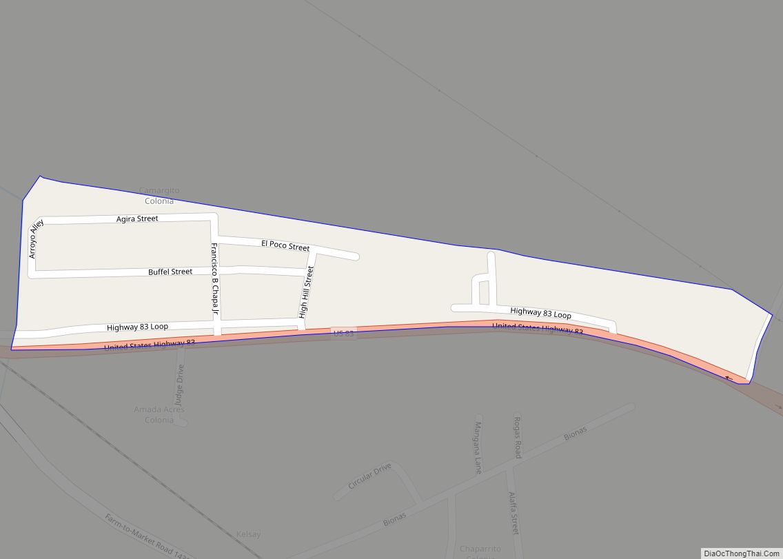
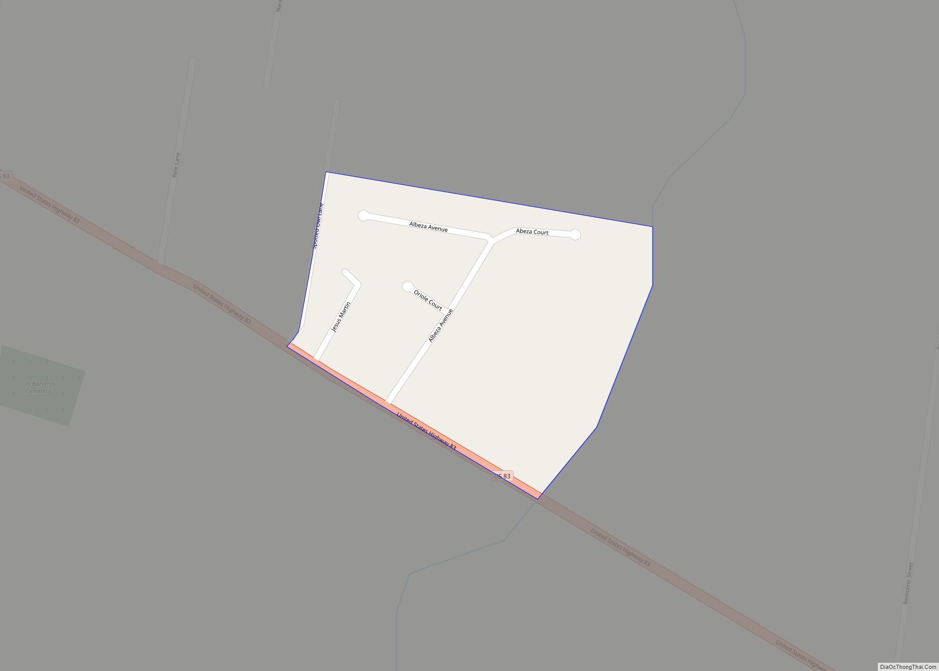
Camargito is a census-designated place (CDP) in Starr County, Texas, United States. This was a new CDP for the 2010 census with a population of 388. Camargito CDP overview: Name: Camargito CDP LSAD Code: 57 LSAD Description: CDP (suffix) State: Texas County: Starr County Total Area: 0.1 sq mi (0.3 km²) Land Area: 0.1 sq mi (0.3 km²) Water Area: 0.0 sq mi ... Read more
Texas Cities and Places
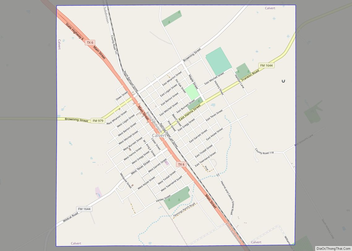
Calvert is a city in Robertson County, Texas, United States. As of the 2020 census, the city population was 962. It is located approximately halfway between Waco and Bryan-College Station at the intersection of Texas State Highway 6 and Farm to Market Roads 1644 and 979, on the Southern Pacific line nine miles north of ... Read more
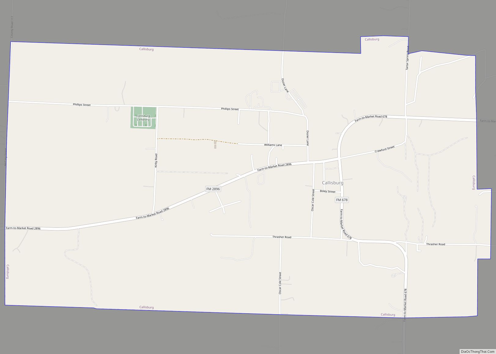
Callisburg is a city in Cooke County, in the U.S. state of Texas. The population was 353 at the 2010 census. Callisburg city overview: Name: Callisburg city LSAD Code: 25 LSAD Description: city (suffix) State: Texas County: Cooke County Elevation: 804 ft (245 m) Total Area: 2.05 sq mi (5.30 km²) Land Area: 2.05 sq mi (5.30 km²) Water Area: 0.00 sq mi (0.00 km²) Total ... Read more
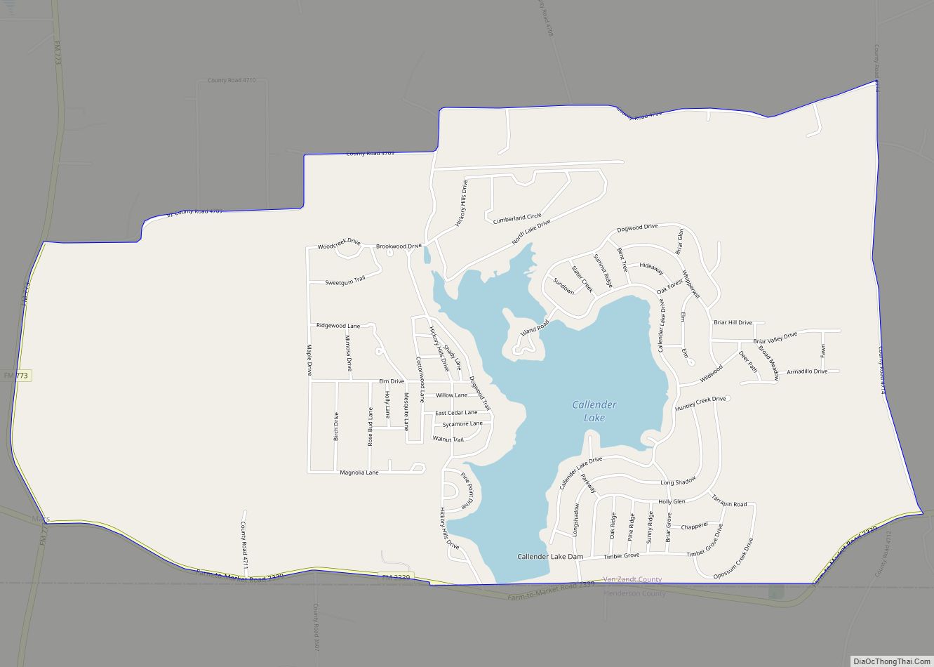
Callender Lake is a census-designated place (CDP) in Van Zandt County, Texas, United States. This was a new CDP for the 2010 census with a population of 1039. Callender Lake CDP overview: Name: Callender Lake CDP LSAD Code: 57 LSAD Description: CDP (suffix) State: Texas County: Van Zandt County Total Area: 4.6 sq mi (11.9 km²) Land Area: ... Read more
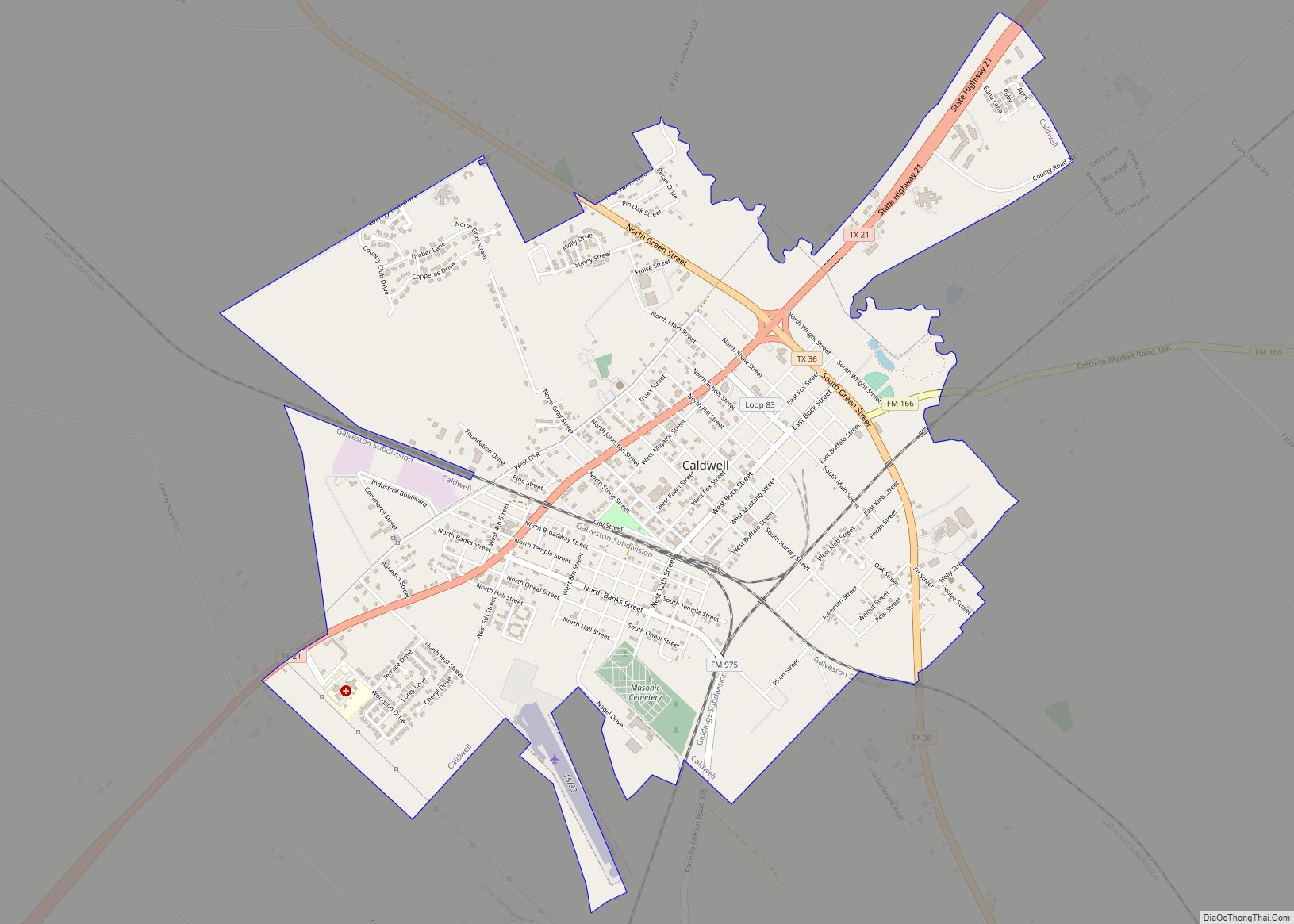
Caldwell is a city in and the county seat of Burleson County, Texas, United States. The population was 3,993 at the 2020 census. It is part of the Bryan-College Station metropolitan area. Caldwell city overview: Name: Caldwell city LSAD Code: 25 LSAD Description: city (suffix) State: Texas County: Burleson County Elevation: 384 ft (117 m) Total Area: ... Read more
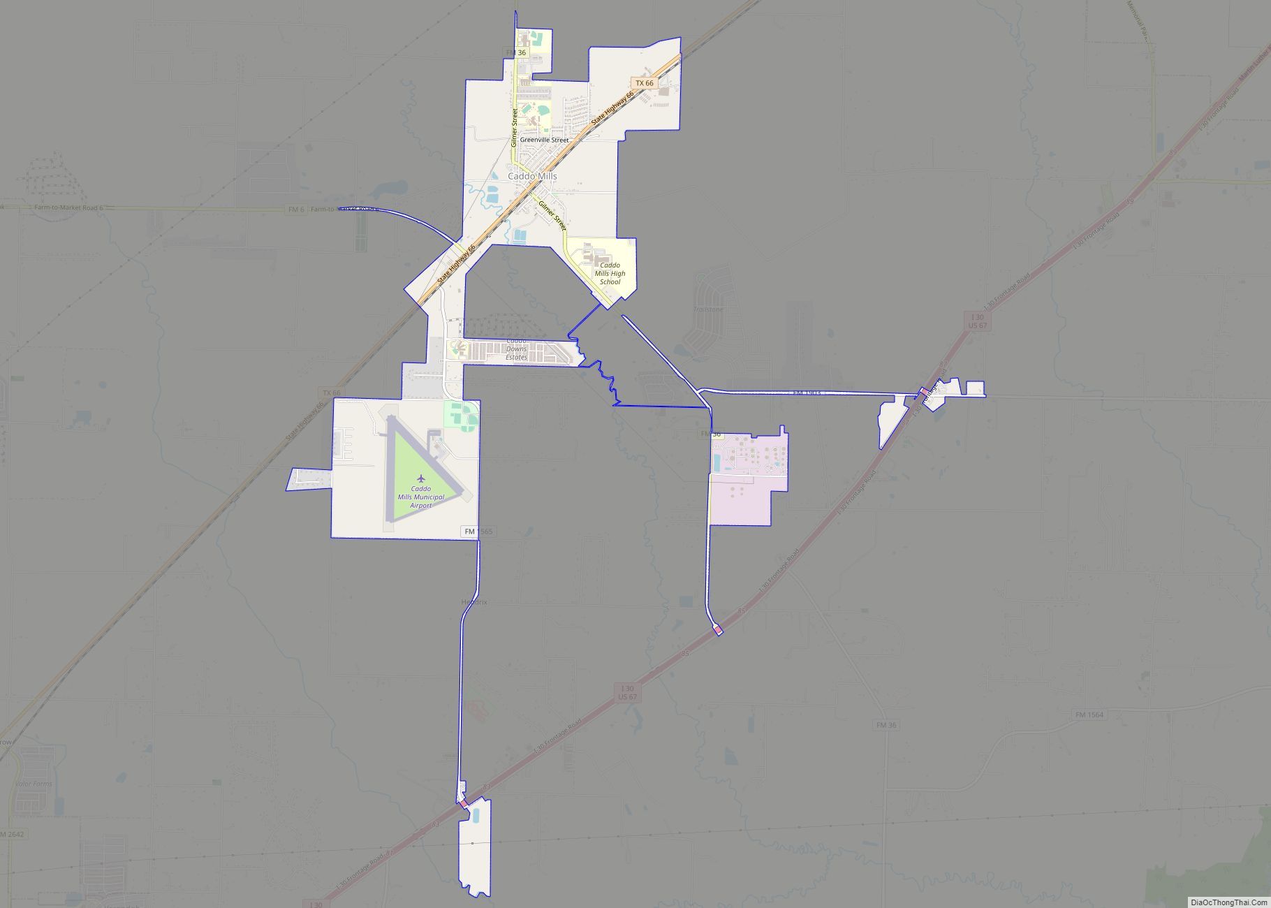
Caddo Mills (/ˈkædoʊ/ KA-doh) is a city in Hunt County, Texas, United States. The population was 1,338 at the 2010 census, up from 1,149 at the 2000 census. Caddo Mills city overview: Name: Caddo Mills city LSAD Code: 25 LSAD Description: city (suffix) State: Texas County: Hunt County Elevation: 531 ft (162 m) Total Area: 4.22 sq mi (10.94 km²) ... Read more
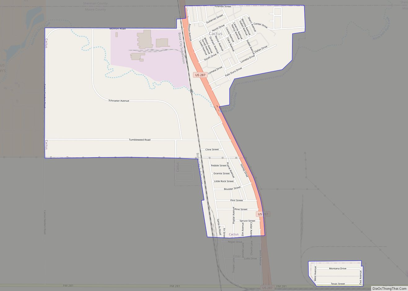
Cactus is a city in Moore County, Texas, United States, located along U.S. Route 287. The population was 3,179 at the 2010 census. “Cactus Texas”, a song by Waylon Jennings, is a sketch of Cactus from years past. Cactus city overview: Name: Cactus city LSAD Code: 25 LSAD Description: city (suffix) State: Texas County: Moore ... Read more
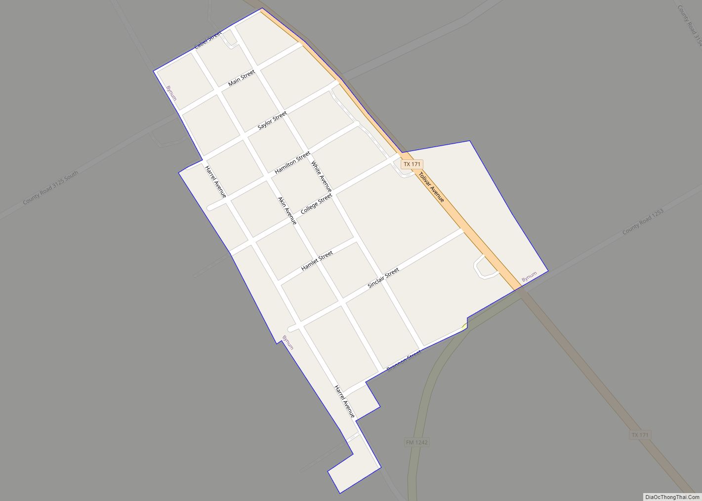
Bynum is a town in Hill County, Texas, United States. The population was 199 at the 2010 census. Bynum town overview: Name: Bynum town LSAD Code: 43 LSAD Description: town (suffix) State: Texas County: Hill County Elevation: 653 ft (199 m) Total Area: 0.13 sq mi (0.35 km²) Land Area: 0.13 sq mi (0.35 km²) Water Area: 0.00 sq mi (0.00 km²) Total Population: 199 Population ... Read more
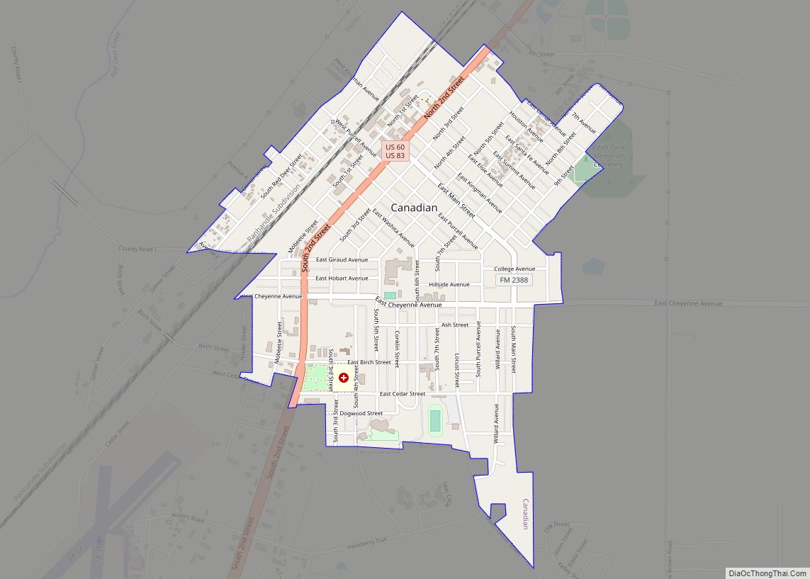
Canadian is a city in, and the county seat of, Hemphill County, Texas, United States. The population was 2,649 at the 2010 census, up from 2,233 in 2000. It is named for the nearby Canadian River, a tributary of the Arkansas River. Incorporated in 1908, Canadian is sometimes called “the oasis of the High Plains”. ... Read more
Campo Verde is a census-designated place (CDP) in Starr County, Texas, United States. It is a new CDP formed from part of the La Rosita CDP prior to the 2010 census with a population of 132. Campo Verde CDP overview: Name: Campo Verde CDP LSAD Code: 57 LSAD Description: CDP (suffix) State: Texas County: Starr ... Read more
Campbell is a city in Hunt County, in the U.S. state of Texas. The population was 638 at the 2010 census, down from 734 at the 2000 census. Campbell city overview: Name: Campbell city LSAD Code: 25 LSAD Description: city (suffix) State: Texas County: Hunt County Elevation: 591 ft (180 m) Total Area: 1.34 sq mi (3.47 km²) Land Area: ... Read more
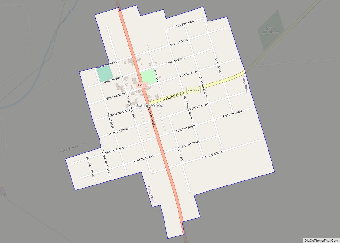
Camp Wood is a city in Real County, Texas, USA, in the Texas Hill Country, which is part of the Edwards Plateau. The population was 706 at the 2010 census. Camp Wood city overview: Name: Camp Wood city LSAD Code: 25 LSAD Description: city (suffix) State: Texas County: Real County Elevation: 1,457 ft (444 m) Total Area: ... Read more
