Canton is a city in and the county seat of Van Zandt County in East Texas, United States. It is located about 40 miles west of Tyler. As of the 2020 census, the city had a population of 4,229.
The city sustained severe damage on April 29, 2017, from several tornadoes, and two years later from another tornado that struck downtown on May 29, 2019, both of which occurred just before First Monday Trade Days, the popular flea market extravaganza which draws thousands to the city each month.
| Name: | Canton city |
|---|---|
| LSAD Code: | 25 |
| LSAD Description: | city (suffix) |
| State: | Texas |
| County: | Van Zandt County |
| Elevation: | 505 ft (154 m) |
| Total Area: | 6.51 sq mi (16.87 km²) |
| Land Area: | 6.04 sq mi (15.66 km²) |
| Water Area: | 0.47 sq mi (1.21 km²) |
| Total Population: | 4,229 |
| Population Density: | 638.71/sq mi (246.59/km²) |
| ZIP code: | 75103 |
| Area code: | 903 |
| FIPS code: | 4812496 |
| GNISfeature ID: | 1332115 |
| Website: | www.cantontx.gov/index.php |
Online Interactive Map
Click on ![]() to view map in "full screen" mode.
to view map in "full screen" mode.
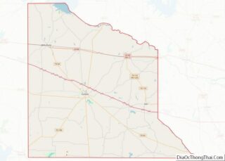
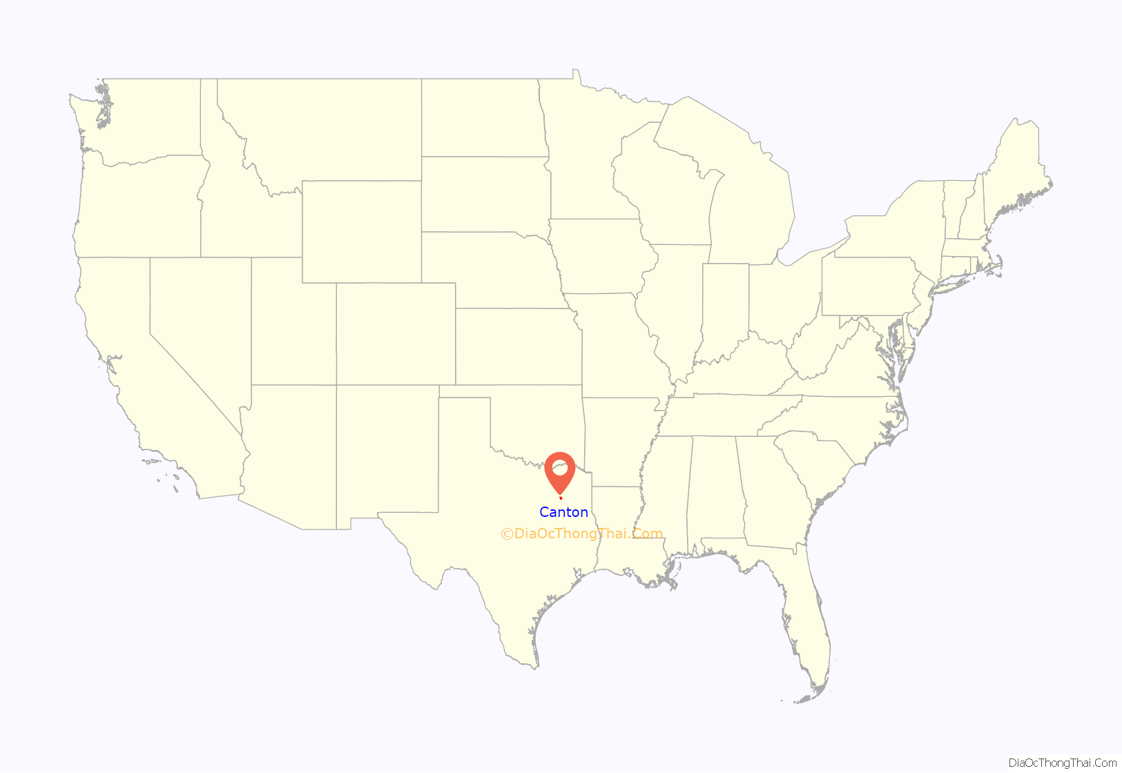
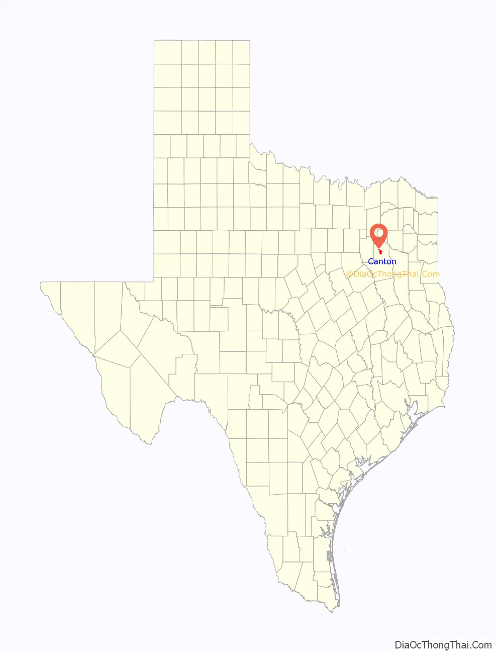
Canton location map. Where is Canton city?
History
Canton was surveyed as early as 1840 by a company of men under Dr. W. P. King. The community stands on the original survey of Jesse Stockwell, an early settler in the area. No settlement was made until 1850, when the town was laid out and named by settlers moving from Old Canton in Smith County, Texas. The first district courthouse at Canton opened in 1850, and a post office, the county’s fourth, was established in that year.
When the Texas and Pacific Railway was built across the county in 1872, it missed Canton by 10 miles (16 km), and the citizens of Wills Point persuaded county officials to move the county seat there. In the resulting dispute in 1877, armed residents of Canton went to Wills Point to recover the records, and the county judge wired Governor Richard B. Hubbard for aid. The Texas Supreme Court finally decided in favor of Canton. Unwilling to use the railroad at Wills Point, Canton businessmen established Edgewood, 10 mi (16 km) to the northwest of town, and built an extension to the railroad at a siding formerly called Stevenson.
Property for the town’s first school, the Canton Academy, was acquired in 1853. Sid S. Johnson began publication of the Canton Weekly Times, the county’s first newspaper, in 1860. A Grange was founded in 1876. By 1890, Canton had a population of 421, flour mills, sawmills, cotton gins, and a bank. Brick buildings were under construction by 1892, and a new brick courthouse was completed in 1894. Iron ore and anthracite coal were discovered in 1887 and 1891. By 1896, the town reached a population high of 800 and had several churches, a steam gristmill and gin, two weekly newspapers, three general stores, and two hotels, but the population had fallen back to 421 by 1904.
Canton was incorporated in 1919, and elected a mayor and aldermen. Despite the Great Depression, development of the Van oilfield after 1929 brought further expansion. A Public Works Administration project in the 1930s had the completion of a new courthouse. In 1933, area schools registered 500 white and 28 black students. The population reached 715 in 1940, but dwindled again after 1949. In the 1950s, local business included a sweet-potato curing plant, an ice factory, a concrete-tile factory, lumberyards, and a cotton gin. Expansion of the Canton city limits doubled its territory in the 1960s. In 1970, the community had a municipal lake with recreational facilities, seven churches, a school, a bank, a library, a newspaper, and 86 businesses. The population doubled between 1960 and 1970 from roughly 1,000 to 2,000, and reached nearly 3,000 by 1990. The population was 3,292 in 2000. However, when the city council decided to recount the population, they found that the town had 5,100 residents instead of the previous census total of 3,292.
Canton is known for its First Monday Trade Days. According to various sources, the tradition began with district court meetings held on the first Monday of each month, or with the monthly visit of neighbors during the days of the Confederate States of America. The custom began with the swapping of surplus stock by barter and grew to include casual bargaining for or swapping of dogs, antiques, junk, and donkeys on a 30-acre (120,000 m) grounds. It is so immensely popular that Canton goes from a town of 5,100 to a town of over 300,000 during each First Monday weekend, making it the largest flea market in the world. In the past, due to the success of First Monday, the city of Canton had no property tax. However, as of 2006, that is no longer the case.
Canton also holds the Van Zandt County Fair and Rodeo and an Annual Bluegrass Festival, which takes place in August. Between 2003 and 2007, Canton was the host community for the United States Equestrian Drill Championship (Super Ride), which showcases top color guard and mounted drill teams from throughout the country.
On April 29, 2017, the city and county sustained severe damage from four tornadoes. One of these tornadoes was rated EF4, making it one of the two strongest tornadoes of the year. Reports of four fatalities and dozens of injured prompted opening of displacement shelters as a disaster declaration was made for Van Zandt County. Texas Governor Greg Abbott ordered state resources to the area to offer assistance to local officials.
On May 29, 2019, the city and county sustained extensive damage from a tornado that struck the downtown area, near First Monday Trade Days. No deaths or injuries occurred, but several houses and local businesses were severely damaged or destroyed. The tornado struck the intersection of Texas State Highways 19 and 64.
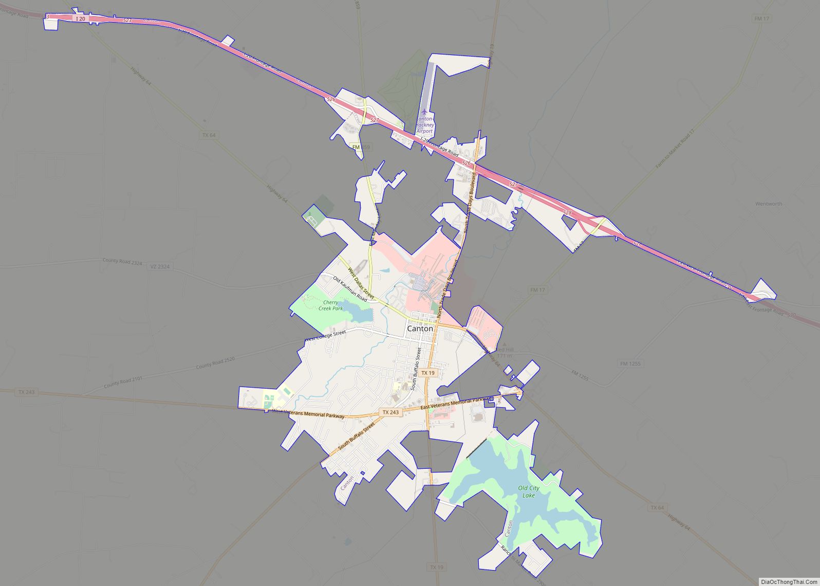
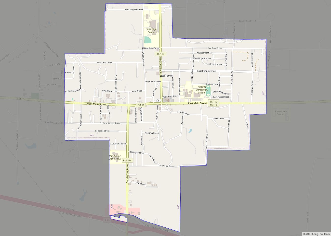
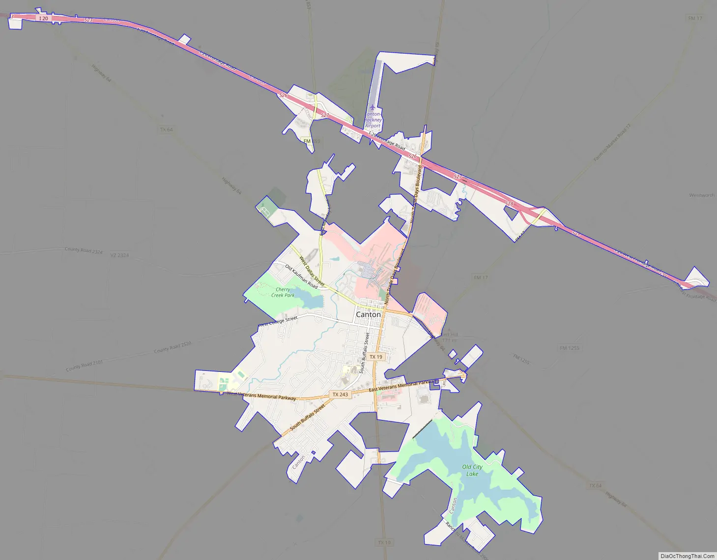
Canton Road Map
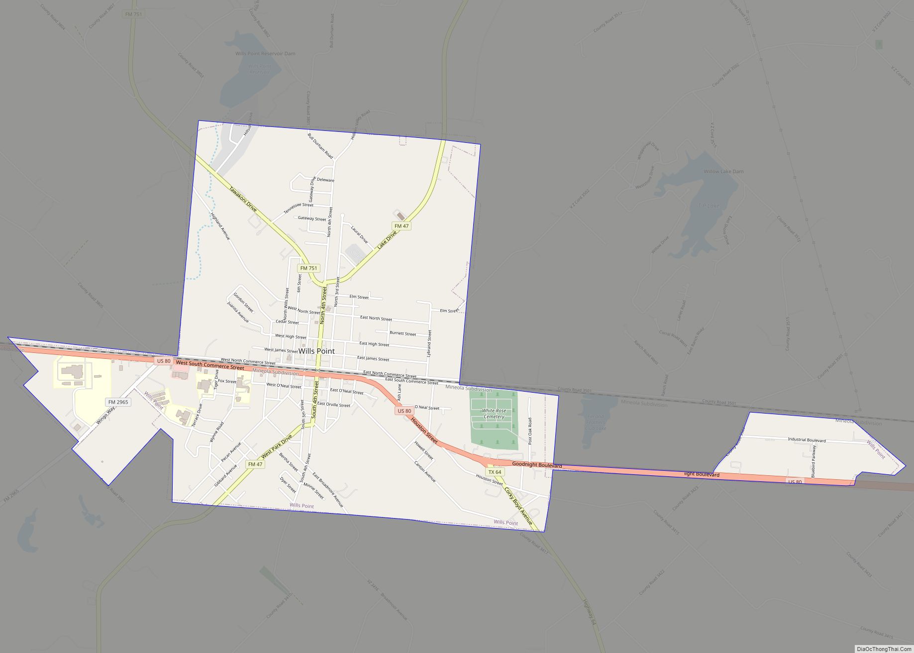
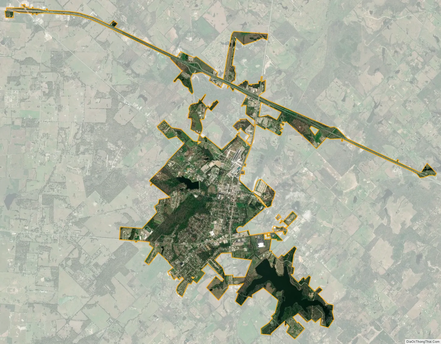
Canton city Satellite Map
Geography
Canton is located at 32°33′13″N 95°52′00″W / 32.553576°N 95.866710°W / 32.553576; -95.866710 (32.553576, –95.866710).
According to the United States Census Bureau, the city has a total area of 5.6 square miles (14.6 km), of which 5.2 square miles (13.4 km) of it are land and 0.4 square miles (1.1 km) of it is covered by water (7.80%).
See also
Map of Texas State and its subdivision:- Anderson
- Andrews
- Angelina
- Aransas
- Archer
- Armstrong
- Atascosa
- Austin
- Bailey
- Bandera
- Bastrop
- Baylor
- Bee
- Bell
- Bexar
- Blanco
- Borden
- Bosque
- Bowie
- Brazoria
- Brazos
- Brewster
- Briscoe
- Brooks
- Brown
- Burleson
- Burnet
- Caldwell
- Calhoun
- Callahan
- Cameron
- Camp
- Carson
- Cass
- Castro
- Chambers
- Cherokee
- Childress
- Clay
- Cochran
- Coke
- Coleman
- Collin
- Collingsworth
- Colorado
- Comal
- Comanche
- Concho
- Cooke
- Coryell
- Cottle
- Crane
- Crockett
- Crosby
- Culberson
- Dallam
- Dallas
- Dawson
- Deaf Smith
- Delta
- Denton
- Dewitt
- Dickens
- Dimmit
- Donley
- Duval
- Eastland
- Ector
- Edwards
- El Paso
- Ellis
- Erath
- Falls
- Fannin
- Fayette
- Fisher
- Floyd
- Foard
- Fort Bend
- Franklin
- Freestone
- Frio
- Gaines
- Galveston
- Garza
- Gillespie
- Glasscock
- Goliad
- Gonzales
- Gray
- Grayson
- Gregg
- Grimes
- Guadalupe
- Hale
- Hall
- Hamilton
- Hansford
- Hardeman
- Hardin
- Harris
- Harrison
- Hartley
- Haskell
- Hays
- Hemphill
- Henderson
- Hidalgo
- Hill
- Hockley
- Hood
- Hopkins
- Houston
- Howard
- Hudspeth
- Hunt
- Hutchinson
- Irion
- Jack
- Jackson
- Jasper
- Jeff Davis
- Jefferson
- Jim Hogg
- Jim Wells
- Johnson
- Jones
- Karnes
- Kaufman
- Kendall
- Kenedy
- Kent
- Kerr
- Kimble
- King
- Kinney
- Kleberg
- Knox
- La Salle
- Lamar
- Lamb
- Lampasas
- Lavaca
- Lee
- Leon
- Liberty
- Limestone
- Lipscomb
- Live Oak
- Llano
- Loving
- Lubbock
- Lynn
- Madison
- Marion
- Martin
- Mason
- Matagorda
- Maverick
- McCulloch
- McLennan
- McMullen
- Medina
- Menard
- Midland
- Milam
- Mills
- Mitchell
- Montague
- Montgomery
- Moore
- Morris
- Motley
- Nacogdoches
- Navarro
- Newton
- Nolan
- Nueces
- Ochiltree
- Oldham
- Orange
- Palo Pinto
- Panola
- Parker
- Parmer
- Pecos
- Polk
- Potter
- Presidio
- Rains
- Randall
- Reagan
- Real
- Red River
- Reeves
- Refugio
- Roberts
- Robertson
- Rockwall
- Runnels
- Rusk
- Sabine
- San Augustine
- San Jacinto
- San Patricio
- San Saba
- Schleicher
- Scurry
- Shackelford
- Shelby
- Sherman
- Smith
- Somervell
- Starr
- Stephens
- Sterling
- Stonewall
- Sutton
- Swisher
- Tarrant
- Taylor
- Terrell
- Terry
- Throckmorton
- Titus
- Tom Green
- Travis
- Trinity
- Tyler
- Upshur
- Upton
- Uvalde
- Val Verde
- Van Zandt
- Victoria
- Walker
- Waller
- Ward
- Washington
- Webb
- Wharton
- Wheeler
- Wichita
- Wilbarger
- Willacy
- Williamson
- Wilson
- Winkler
- Wise
- Wood
- Yoakum
- Young
- Zapata
- Zavala
- Alabama
- Alaska
- Arizona
- Arkansas
- California
- Colorado
- Connecticut
- Delaware
- District of Columbia
- Florida
- Georgia
- Hawaii
- Idaho
- Illinois
- Indiana
- Iowa
- Kansas
- Kentucky
- Louisiana
- Maine
- Maryland
- Massachusetts
- Michigan
- Minnesota
- Mississippi
- Missouri
- Montana
- Nebraska
- Nevada
- New Hampshire
- New Jersey
- New Mexico
- New York
- North Carolina
- North Dakota
- Ohio
- Oklahoma
- Oregon
- Pennsylvania
- Rhode Island
- South Carolina
- South Dakota
- Tennessee
- Texas
- Utah
- Vermont
- Virginia
- Washington
- West Virginia
- Wisconsin
- Wyoming